The best walks and hikes around Deutsch-Rumbach
4.5
(2275)
10,153
hikers
20
hikes
Hiking around Deutsch-Rumbach offers trails within the Dahner Felsenland region, characterized by red sandstone rock formations and dense forests. The area is part of the UNESCO Biosphere Reserve Palatinate Forest and Vosges du Nord. Varied terrain includes valleys, hills, and historical sites, providing diverse experiences for hikers.
Best hiking trails around Deutsch-Rumbach
- The most popular hiking route is Fouchy Pass – Roche Belle Vue loop from Col de Fouchy, a 4.1 miles (6.6 km) trail that takes 2 hours…
Last updated: July 7, 2026
4.8
(4)
16
hikers
6.63km
02:04
210m
210m
Moderate hike. Good fitness required. Mostly accessible paths. Sure-footedness required.
5.0
(1)
16
hikers
20.3km
06:16
700m
700m
Hard hike. Very good fitness required. Mostly accessible paths. Sure-footedness required.

Sign up for free
4.8
(5)
21
hikers
8.00km
02:23
230m
230m
Moderate hike. Good fitness required. Mostly accessible paths. Sure-footedness required.
4.5
(4)
18
hikers
3.38km
01:03
130m
130m
Moderate hike. Great for any fitness level. Mostly accessible paths. Sure-footedness required.
4.5
(2)
7
hikers
13.3km
04:04
460m
460m
Moderate hike. Good fitness required. Easily-accessible paths. Suitable for all skill levels.
Get access to more routes and recommendations from other explorers.
Sign up for free
Already have an account?
Our route recommendations are based on thousands of hikes, rides, and runs completed by other people on komoot.
Start today with a free account
Your next adventure awaits.
Login or Signup
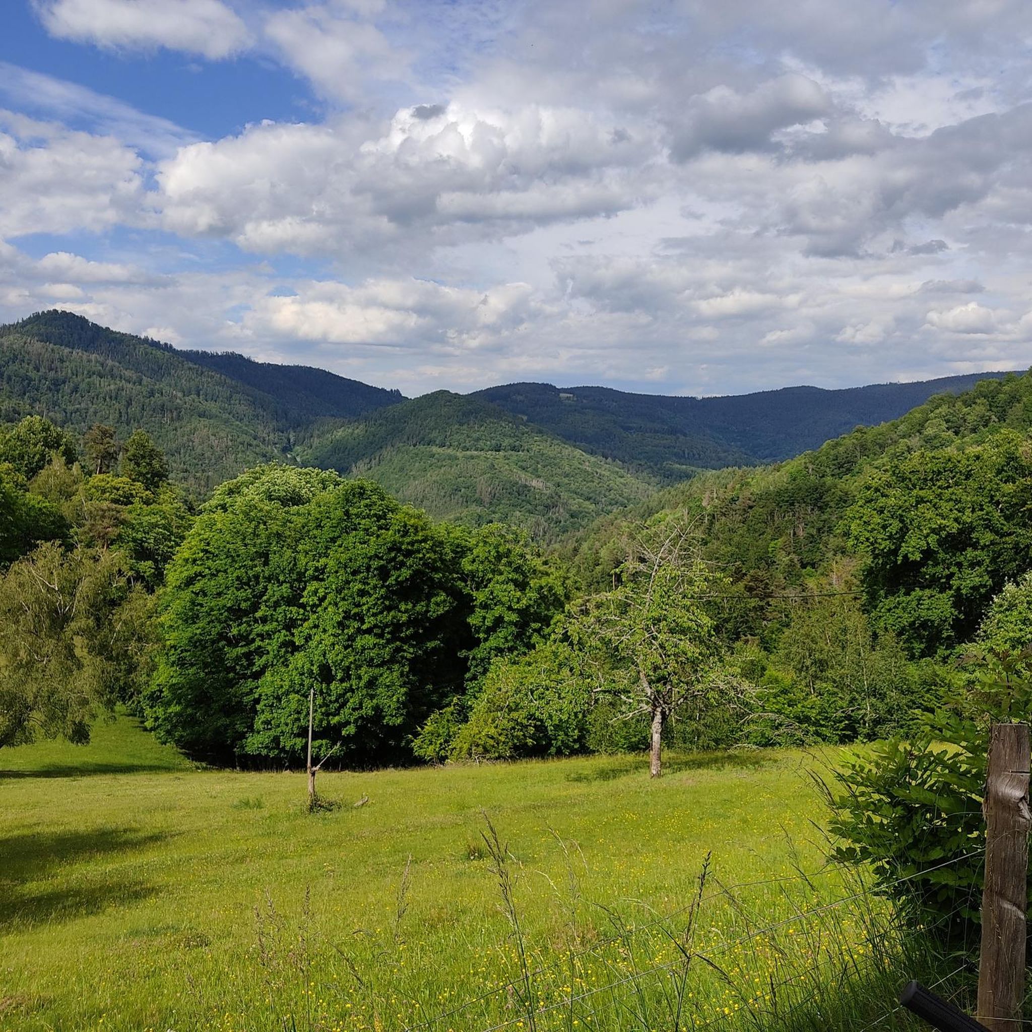
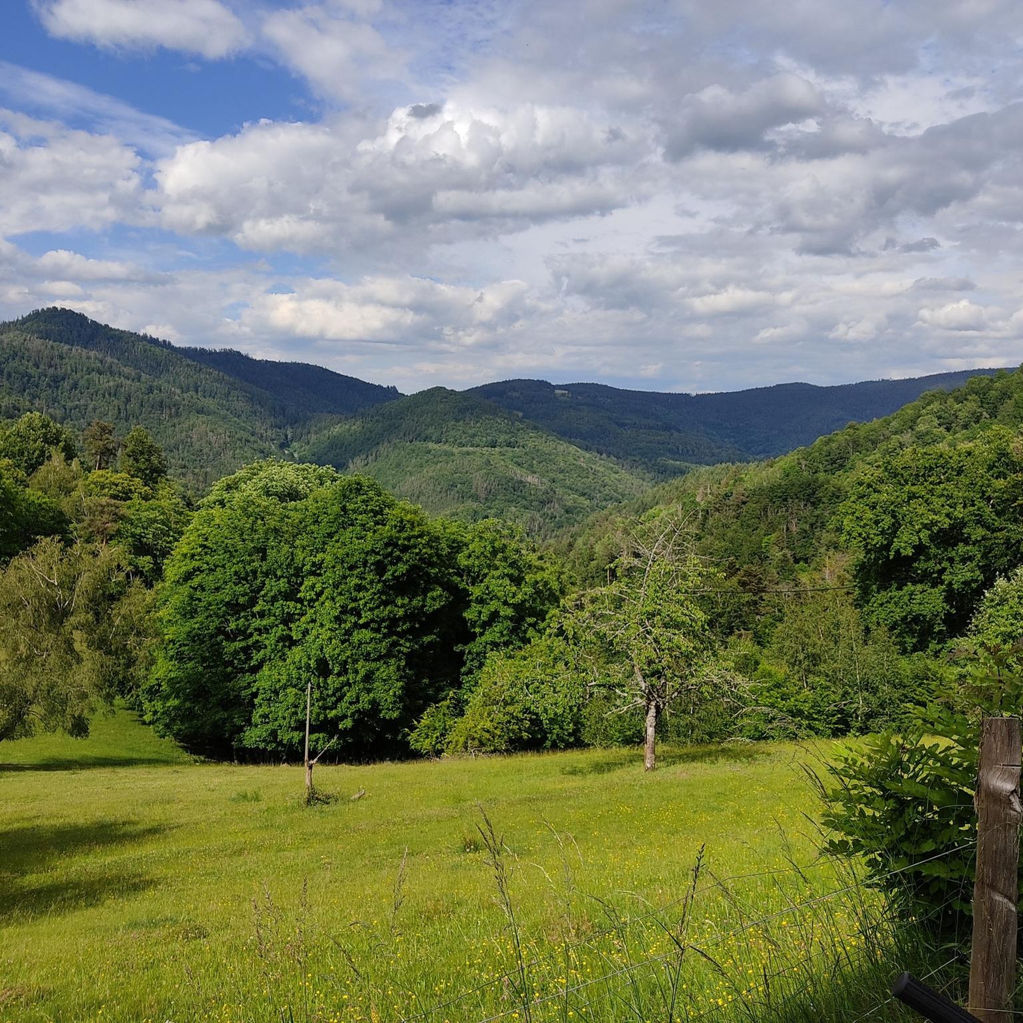
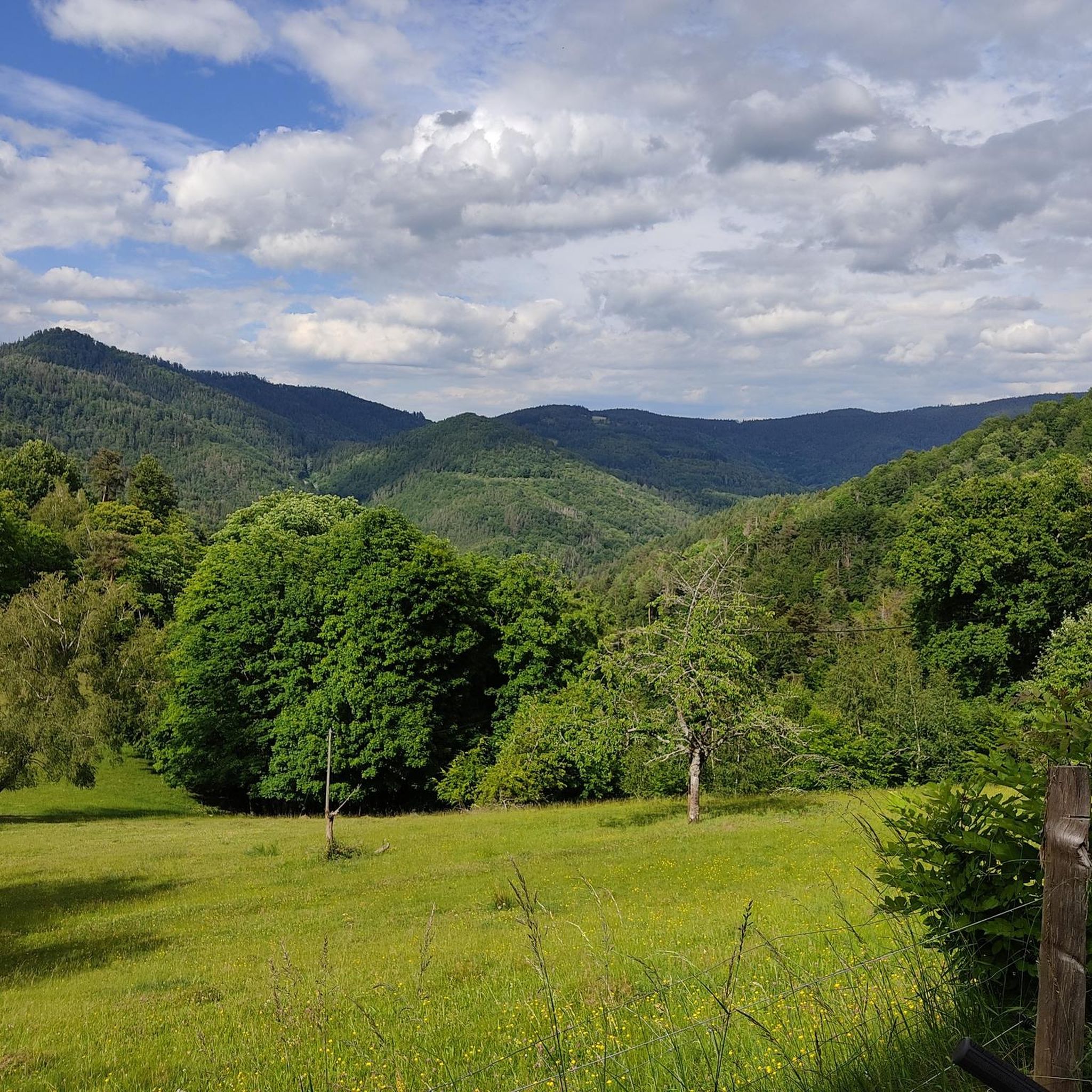
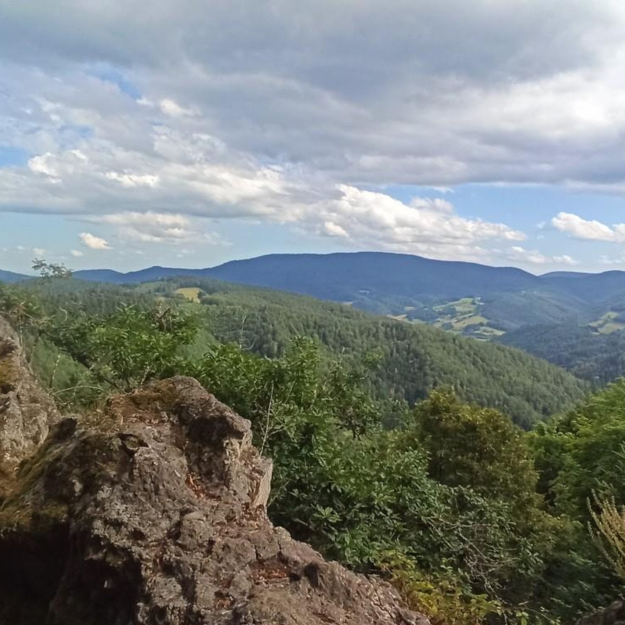

Tips from the Community


very beautiful panorama of the village
1
0

The Col de Fouchy from Fouchy is 5.3 kilometers long with a total drop of 303 meters. The average gradient is 5.72% with maximum gradients of 8%.
0
0

Very beautiful and pleasant little collar.
0
0

Orientation crossing possibly on the way to the Coucou
1
0


Col de Fouchy (603m) is a small but fine pass. 🚴♂️👌
0
0

Very pleasant slope. Great landscape. In the place before the driveway delicious baker.
0
1
Frequently Asked Questions
How many hiking trails are available around Deutsch-Rumbach?
There are over 20 hiking trails around Deutsch-Rumbach, offering a variety of experiences. These include 6 easy routes, 13 moderate routes, and 1 difficult route, catering to different fitness levels and preferences.
What makes hiking in Deutsch-Rumbach unique?
Hiking in Deutsch-Rumbach is unique due to its location within the Dahner Felsenland, characterized by striking red sandstone rock formations and dense forests. The area is part of the UNESCO Biosphere Reserve Palatinate Forest and Vosges du Nord, offering diverse landscapes from valleys to hills, and a rich historical tapestry with ancient castles and charming villages.
What do other hikers say about the trails in Deutsch-Rumbach?
The trails in Deutsch-Rumbach are highly rated by the komoot community, with an average score of 4.5 stars from over 2000 reviews. Hikers often praise the varied terrain, the stunning rock formations, and the well-maintained paths that lead through ancient forests and offer magnificent views.
Are there easy or beginner-friendly hiking trails in Deutsch-Rumbach?
Yes, Deutsch-Rumbach offers several easy and beginner-friendly hiking trails. For example, the Söllerweg is an easy walking path that circles the Söller glider airfield, providing wonderful panoramic views. Another option is the View of the Sacré-Cœur Statue loop from Rombach-le-Franc, a moderate 3.4 km route that can be completed in just over an hour.
Are there more challenging hiking options for experienced hikers?
Yes, for experienced hikers seeking a challenge, Deutsch-Rumbach offers more demanding routes. The Fouchy Pass – Roche Belle Vue loop from Rombach-le-Franc is a difficult 20.3 km trail with significant elevation gain, typically taking over 6 hours to complete. The German-French Castle Trail is another challenging option that crosses the border and leads to impressive castle ruins.
Are there circular hiking routes available?
Yes, many of the hiking trails around Deutsch-Rumbach are circular routes, perfect for day trips. Examples include the Fouchy Pass – Roche Belle Vue loop from Col de Fouchy, a moderate 6.6 km trail, and the Hiking loop from Rombach-le-Franc, a moderate 8 km path offering varied landscapes.
Can I hike with my dog in Deutsch-Rumbach?
While the region is generally dog-friendly, it's always recommended to keep your dog on a leash, especially in nature reserves and near wildlife. Please ensure you clean up after your pet to help preserve the natural environment for everyone.
Are there family-friendly hiking trails in the area?
Absolutely. The Pfaffenberg Route, also known as the 'Stroller Route,' is an approximately 6.6 km circular hike suitable for families with children. Another popular choice for families is the 'Königsweg,' a 10-kilometer circular trail known for its relatively flat terrain and interesting sights.
What natural features or landmarks can I see while hiking?
While hiking, you can explore the region's dramatic red sandstone rock formations, which are a defining feature of the Dahner Felsenland. Notable natural monuments include Rocher de la Paix d'Udine, Reptile Rock, and Three Little Tables Rock. The dense forest canopy, which inspired many Brothers Grimm stories, is also a prominent feature.
Are there any historical sites or castles to explore along the trails?
Yes, the region is rich in history. You can discover numerous historical sites and castle ruins, such as the 11th-century Burg Drachenfels. Other impressive ruins like Hohenbourg, Loewenstein, and Fleckenstein can be found along routes like the German-French Castle Trail. Additionally, the village of Rumbach itself features charming half-timbered houses and the fortified Christ Church with Romanesque origins.
What is the best time of year to go hiking in Deutsch-Rumbach?
The best time to hike in Deutsch-Rumbach is typically from spring to autumn (April to October) when the weather is mild and the forests are lush. Spring brings blooming wildflowers, while autumn offers vibrant fall foliage. Summer is also popular, but trails can be busier. Winter hiking is possible, but some paths might be slippery or require appropriate gear.
Are there any specific long-distance or multi-day hiking trails?
Yes, the Felsenland Legend Path (Felsenland Sagenweg) is a notable multi-day hiking trail in the Dahner Felsenland. It offers continuous hiking enjoyment with great views, striking rock towers, and numerous castles. It can be completed as a multi-day trek over 5 to 7 days or as seven individual circular routes.
Most popular routes around Deutsch-Rumbach
Most popular attractions around Deutsch-Rumbach

Get inspired with the komoot mobile app


Explore more
Browse the best Hikes in other regions.
