The best walks and hikes around Peyrins
4.4
(103)
734
hikers
24
hikes
Hiking around Peyrins offers diverse landscapes within the Drôme des Collines, a region characterized by rolling hills, lush forests, and picturesque valleys. The area provides varied scenic routes, with elevated points offering expansive vistas of the Rhône plain and the Vercors Plateau. The district is also traversed by the Savasse River and features the Chalaire ponds, adding natural water features to the terrain. Extensive forests cover about 30% of the territory, alongside numerous hillsides ideal for exploration.
Best hiking trails…
Last updated: June 23, 2026
3.0
(3)
11
hikers
7.08km
02:01
150m
150m
Moderate hike. Good fitness required. Easily-accessible paths. Suitable for all skill levels.
3.0
(1)
7
hikers
13.8km
03:51
270m
270m
Moderate hike. Good fitness required. Easily-accessible paths. Suitable for all skill levels.

Sign up for free
4.8
(4)
56
hikers
7.47km
02:04
140m
140m
Moderate hike. Good fitness required. Easily-accessible paths. Suitable for all skill levels.
4.2
(5)
15
hikers
7.62km
02:14
210m
210m
Moderate hike. Good fitness required. Easily-accessible paths. Suitable for all skill levels.
5.0
(2)
11
hikers
8.32km
02:18
140m
140m
Moderate hike. Good fitness required. Easily-accessible paths. Suitable for all skill levels.
Get access to more routes and recommendations from other explorers.
Sign up for free
Already have an account?
Our route recommendations are based on thousands of hikes, rides, and runs completed by other people on komoot.
Start today with a free account
Your next adventure awaits.
Login or Signup
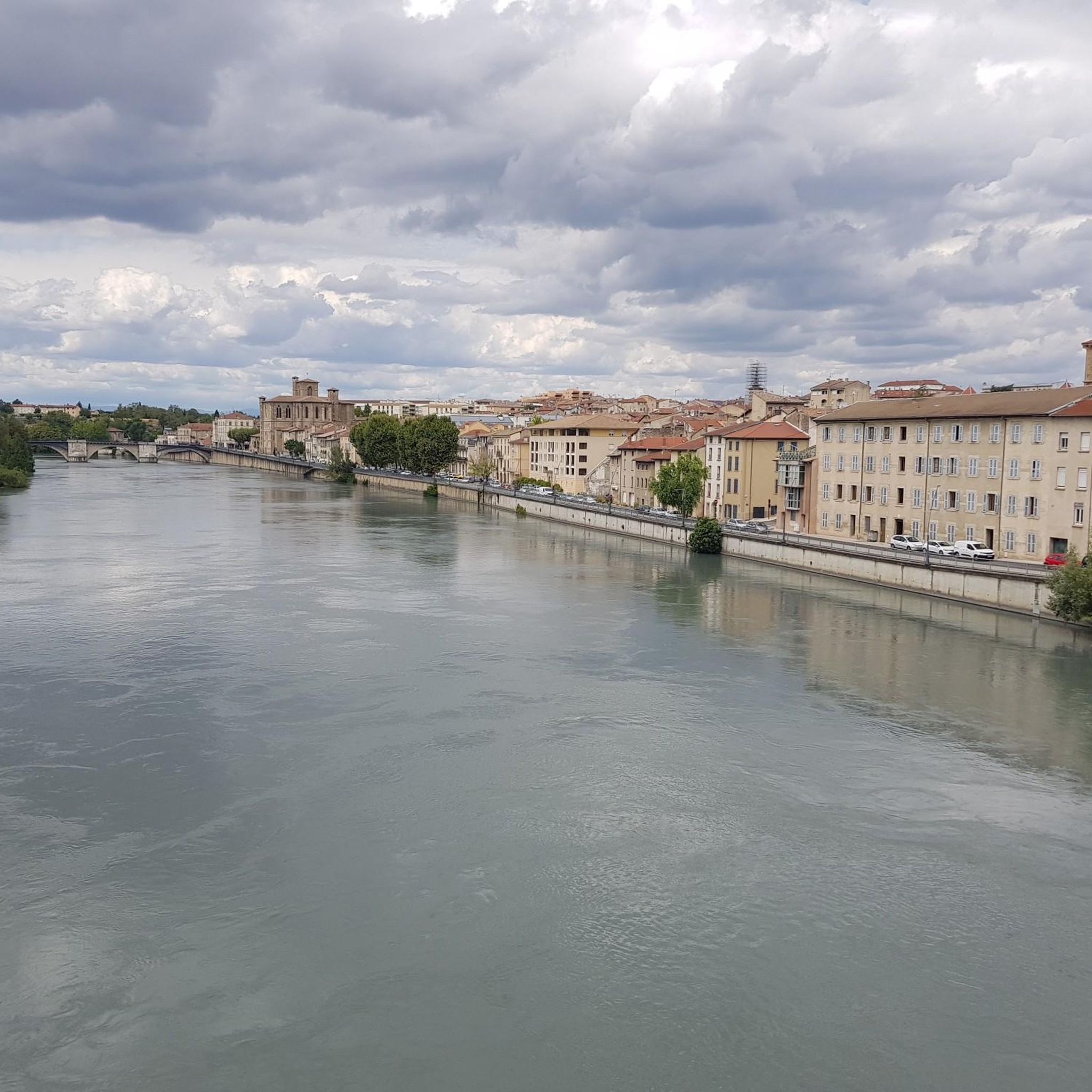
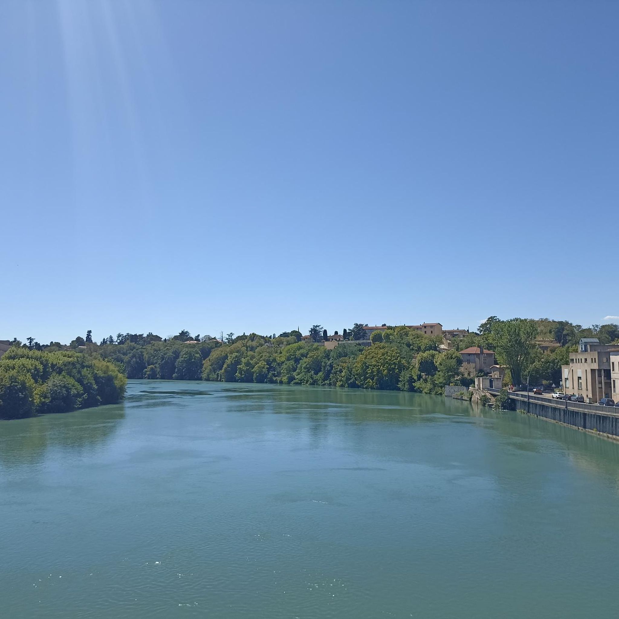
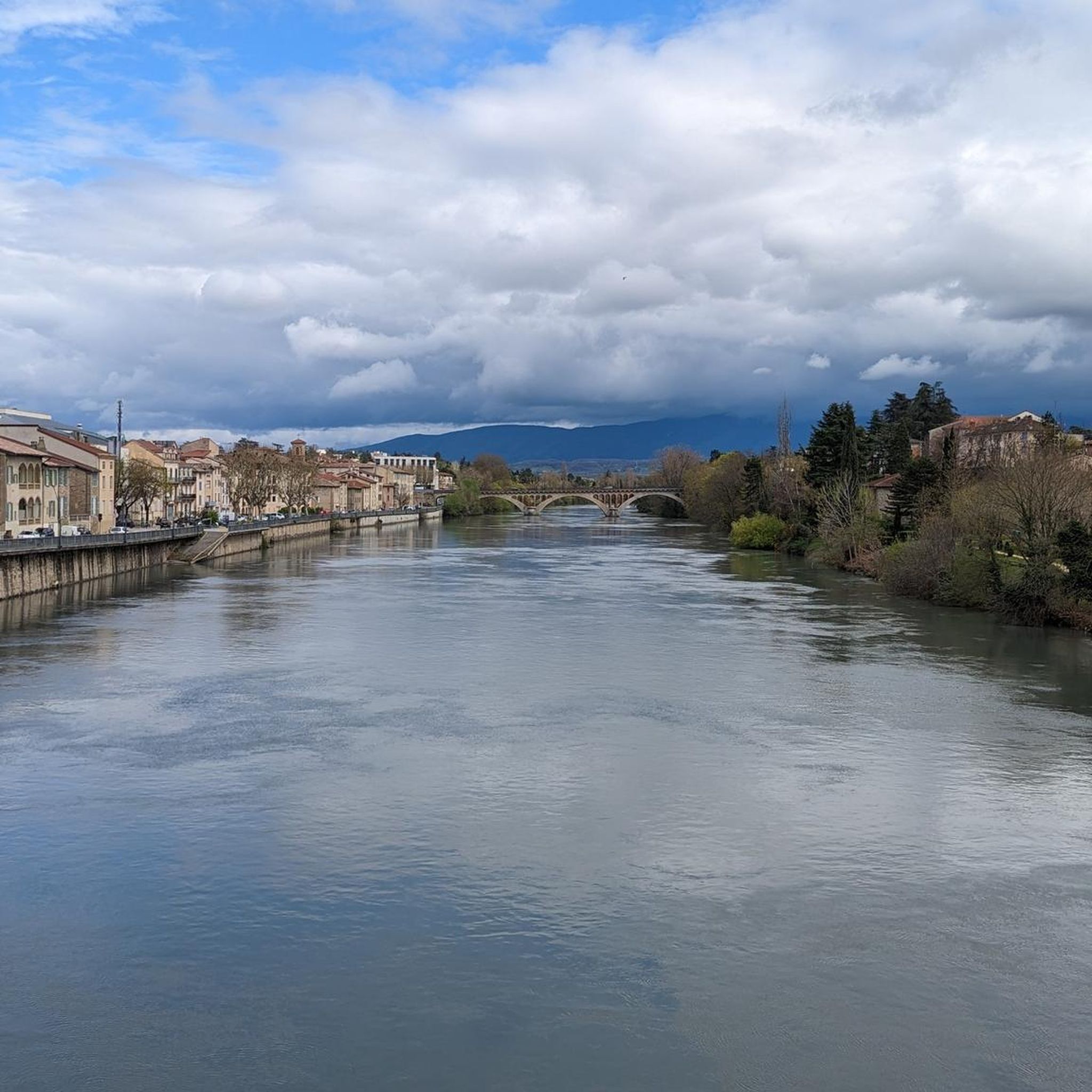
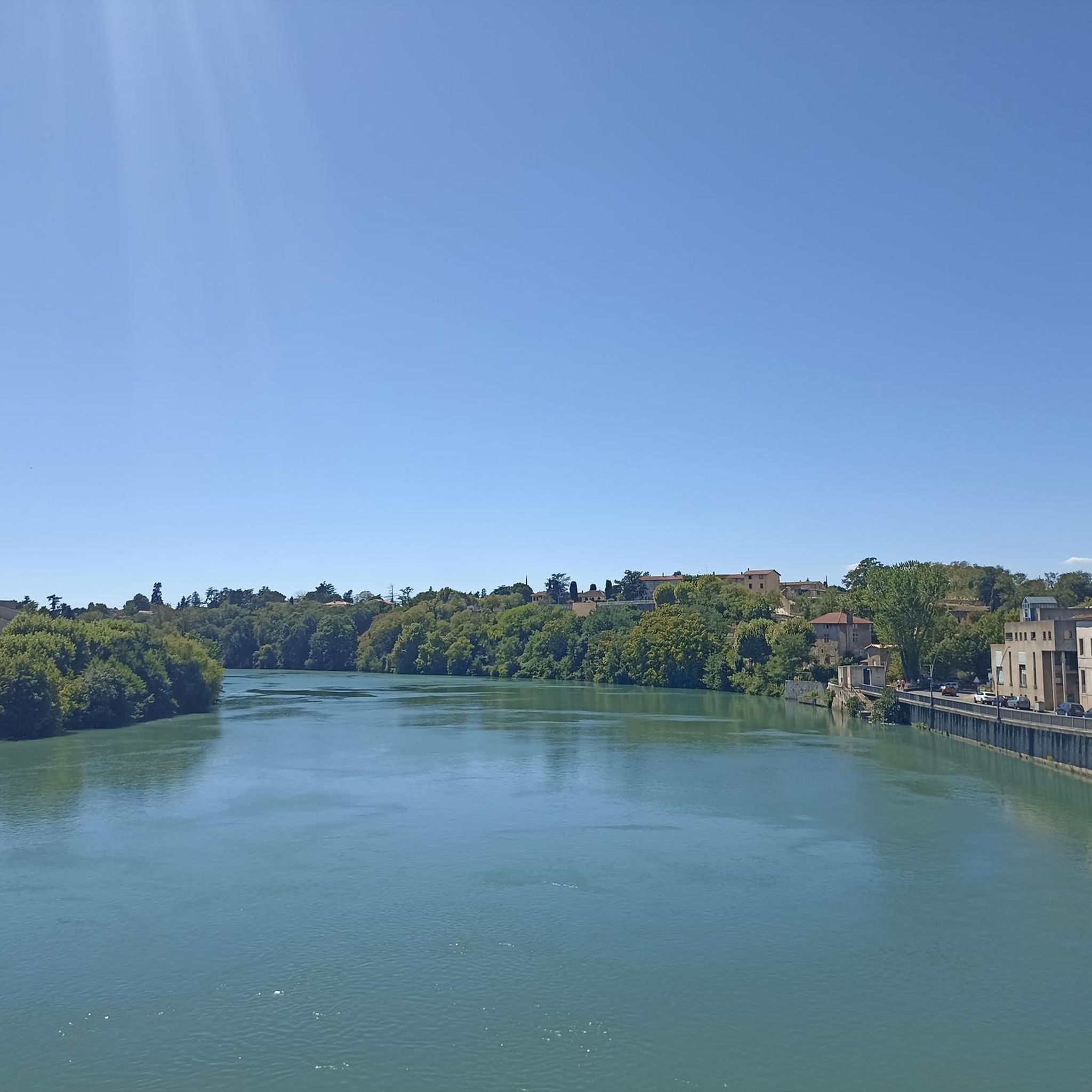

Tips from the Community

Fishing pond that is ideal for a relaxing stroll. Signs show the layperson the types of fish. There is a large car park with a toilet nearby.
0
0

The castle of Sallmard or Peyrins was built in the 17th century. During the Second World War the castle, within which there was a children's home, gave shelter to 130 Jewish children by hiding them among its residents.
0
0
These are two water reservoirs which allow fishing as well as a walking and nature discovery trail. There is also an observatory and identification panels for the species that can be observed there.
0
0
Wood above Peyrins where you can gain some height over the valley and enjoy the vegetation.
0
0
On the Chemin de Papillion there are several beautiful views of the neighboring heights. Here, at practically the highest point of the ridge, the view extends into the wide Rhône plain. Very nice at sunset.
0
0

Ussiaux wood is part of the European Natura 2000 network. It is also listed in the inventory of natural areas of ecological, faunal and floristic interest. The wood is home to the largest tree-climbing park in Drôme-Ardèche! Acrobois Romans offers a multi-activity leisure base. All the information available here: https://romans.les-acrobois.fr/
0
0
These are two pleasant little lakes where it is good to stroll. You will find a walking path to go around it. Benches and picnic areas are installed there. This place is well known to fishermen who go there for its carp, pike and even its rainbow trout.
0
1
Frequently Asked Questions
How many hiking trails are available around Peyrins?
Peyrins offers a wide selection of hiking opportunities, with over 25 routes available for exploration. These trails cater to various preferences, ranging from easy strolls to more challenging excursions through the diverse landscapes of the Drôme des Collines.
What kind of terrain can I expect on hikes in Peyrins?
The terrain around Peyrins is characterized by the rolling hills of the Drôme des Collines, extensive forests, and picturesque river valleys like the Savasse. You'll encounter a mix of ascents and descents, offering panoramic viewpoints over the vast Rhône plain and the majestic Vercors Plateau. Many trails wind through wooded areas and open landscapes, providing varied scenery.
Are there any easy or family-friendly hiking options in Peyrins?
Yes, Peyrins has several easy and family-friendly hiking options. There are 6 routes classified as easy, perfect for a relaxed outing with children or for those seeking a less strenuous walk. These paths often lead through pleasant forests or along the Chalaire ponds, providing accessible natural beauty.
Can I find circular hiking routes in Peyrins?
Absolutely. Many trails in Peyrins are designed as circular routes, allowing you to start and end at the same point. An example is the Aumône Wood – Ponds of Chaleyre loop from Peyrins, which takes you through wooded areas and past the scenic Chalaire ponds. The region's 'coteaux' (hillsides) also feature loops like the Coteaux des Mours, ideal for exploring the rolling landscape.
Are dogs allowed on the hiking trails in Peyrins?
Generally, dogs are welcome on most hiking trails in the Peyrins area, provided they are kept on a leash. This ensures the safety and enjoyment of all hikers and protects local wildlife. Always check for specific signage, especially in nature reserves or protected areas, which might have stricter rules.
What natural features or landmarks can I see while hiking in Peyrins?
While hiking in Peyrins, you can discover several natural features and landmarks. The Aumône Wood – Ponds of Chaleyre loop from Peyrins will take you past the significant Chalaire ponds, popular for nature observation. From elevated points like the Saint-Ange hill, you can enjoy 360-degree views of the Rhône plain and the Vercors. The region is also rich in forests and traversed by the Savasse River and numerous streams.
What historical sites or cultural points of interest can I discover near the hiking trails?
Peyrins and its surroundings offer a glimpse into history. You can find remains of the feudal Château Roux, which once dominated the village, and the private Château de Salmard. The historic Saint-Ange Church on Saint-Ange hill also provides cultural interest alongside panoramic views. For a broader historical experience, the Historic centre of Romans-sur-Isère is also nearby.
Is parking available at the trailheads in Peyrins?
Yes, parking is generally available at or near the main trailheads in Peyrins and surrounding villages. While specific parking areas are not always signposted for every single route, you can usually find public parking in the village centers or designated spots close to popular starting points. It's advisable to check the komoot tour details for specific parking recommendations for your chosen route.
What do other hikers enjoy the most about hiking in Peyrins?
The hiking routes in Peyrins are highly rated by the komoot community, with an average score of 4.4 stars from nearly 100 reviews. Hikers frequently praise the diverse landscapes, the tranquility of the forests, and the rewarding panoramic views of the Rhône plain and Vercors. The well-maintained paths and the variety of routes for different skill levels are also often highlighted.
Are there any longer, more challenging hikes in the area?
Yes, for those seeking a longer and more challenging experience, Peyrins offers several moderate routes. The In the Footsteps of Charles IX Trail is a moderate 8.6-mile (13.8 km) path that traverses varied terrain, including forested sections and open landscapes, providing a good workout and extended exploration.
What is the best time of year to go hiking in Peyrins?
The best time to go hiking in Peyrins is typically during spring (April to June) and autumn (September to October). During these seasons, the weather is generally mild and pleasant, with comfortable temperatures for walking. Spring brings blooming wildflowers, while autumn offers beautiful fall foliage. Summer can be warm, so early morning or late afternoon hikes are recommended, and winter can be suitable for crisp walks, though some paths might be muddy.
Can I reach hiking trails in Peyrins using public transport?
While Peyrins is a smaller commune, some public transport options might connect it to larger towns like Romans-sur-Isère. However, direct public transport access to specific trailheads within the more rural hiking areas can be limited. It's often more convenient to reach the starting points by car. For detailed public transport information, it's best to consult local transport schedules for the Drôme department.
Most popular attractions around Peyrins

Get inspired with the komoot mobile app


Explore more
Browse the best Hikes in other regions.
