The best running trails around Génissieux
4.3
(42)
2,103
runners
23
runs
Jogging around Génissieux offers routes through a landscape characterized by rolling hills, forests, and the notable Les Coteaux de Génissieux. This region in southeastern France provides varied terrain, including trails with views over the Vercors massif and the Romans plain. Runners can explore paths alongside rivers like the Savasse and near features such as the Étangs de Bellevue. The area's natural features provide diverse options for outdoor activity.
Best jogging routes around Génissieux
- The most popular jogging route is Sallmard…
Last updated: July 1, 2026
7
runners
11.6km
01:28
330m
330m
Hard run. Very good fitness required. Mostly paved surfaces. Suitable for all skill levels.
26
runners
5.78km
00:40
60m
60m
Moderate run. Good fitness required. Mostly paved surfaces. Suitable for all skill levels.

Sign up for free
6
runners
Moderate run. Good fitness required. Mostly paved surfaces. Suitable for all skill levels.
8
runners
15.0km
01:49
300m
300m
Hard run. Very good fitness required. Mostly paved surfaces. Suitable for all skill levels.
6
runners
9.30km
01:03
150m
150m
Moderate run. Good fitness required. Mostly paved surfaces. Suitable for all skill levels.
Get access to more routes and recommendations from other explorers.
Sign up for free
Already have an account?
Our route recommendations are based on thousands of hikes, rides, and runs completed by other people on komoot.
Start today with a free account
Your next adventure awaits.
Login or Signup

Tips from the Community

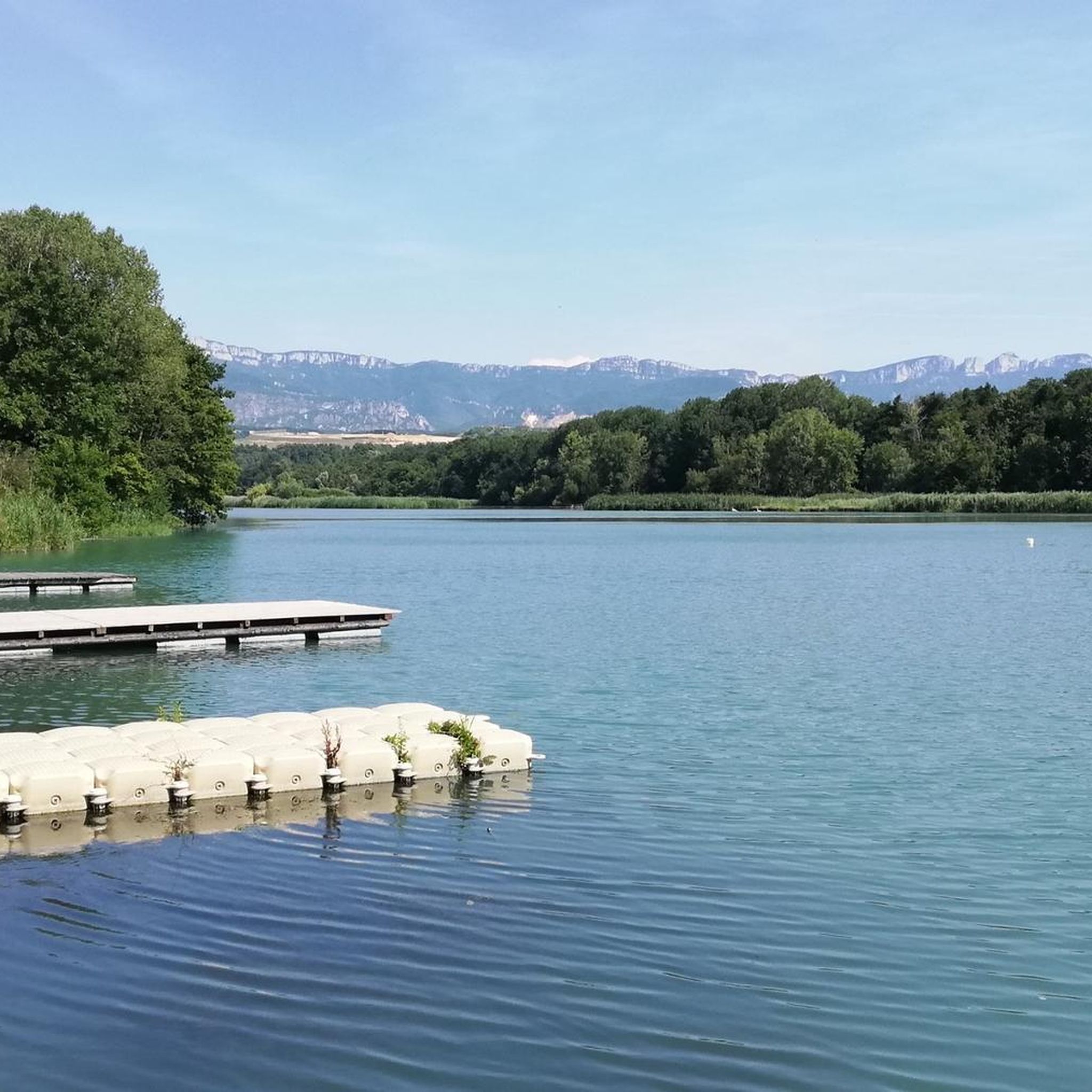
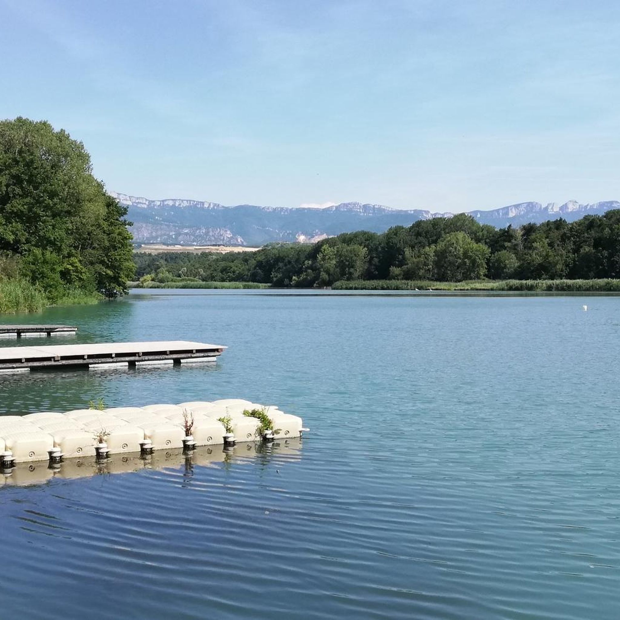
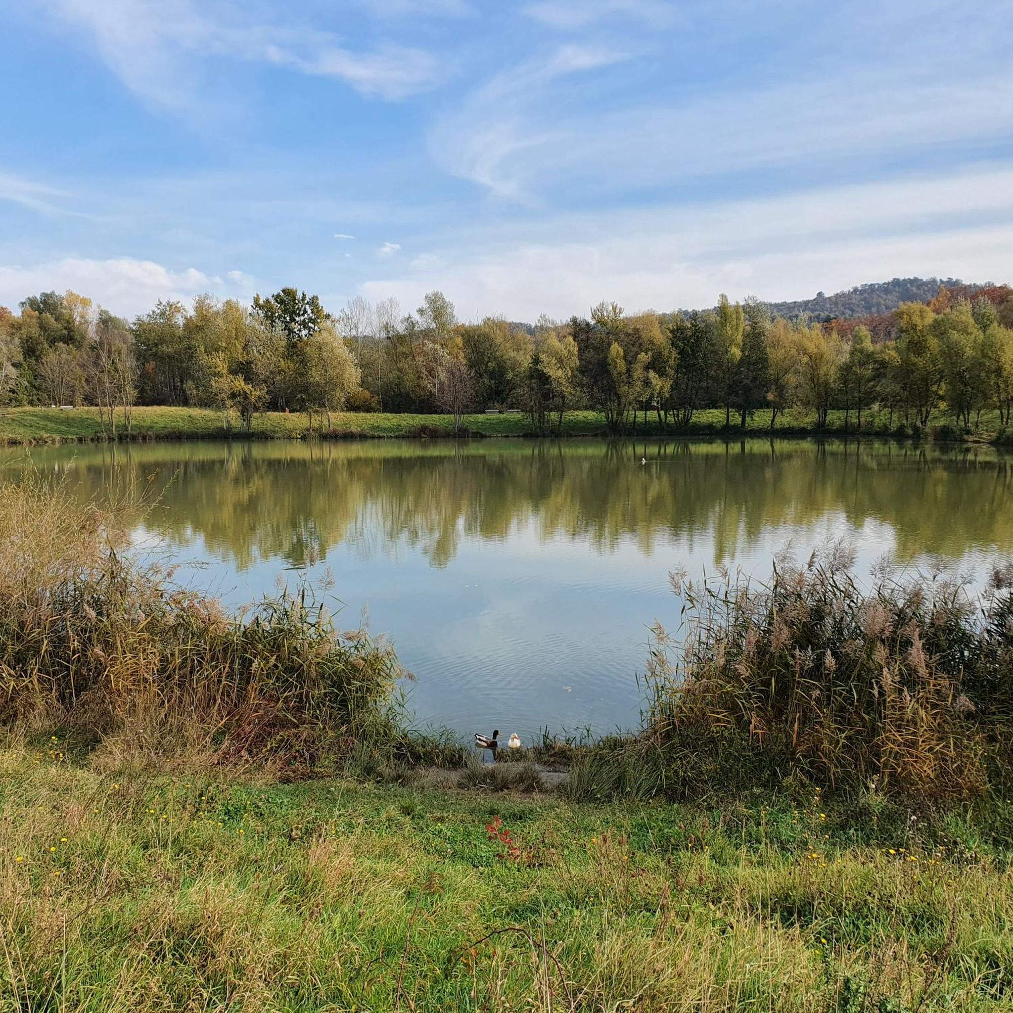
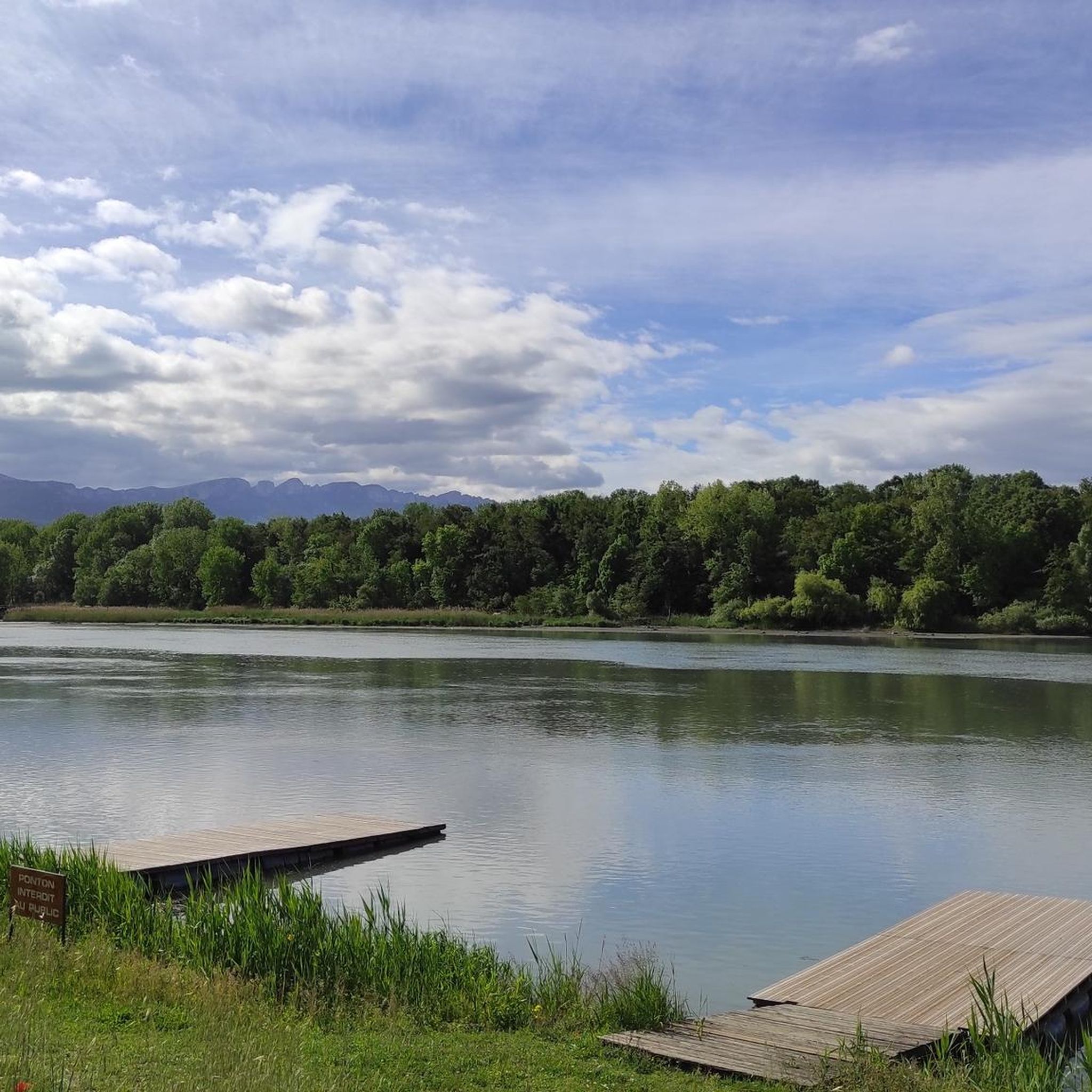
Fishing pond that is ideal for a relaxing stroll. Signs show the layperson the types of fish. There is a large car park with a toilet nearby.
0
0

The castle of Sallmard or Peyrins was built in the 17th century. During the Second World War the castle, within which there was a children's home, gave shelter to 130 Jewish children by hiding them among its residents.
0
0
These are two water reservoirs which allow fishing as well as a walking and nature discovery trail. There is also an observatory and identification panels for the species that can be observed there.
0
0
Frequently Asked Questions
How many running routes are available around Génissieux?
There are over 20 running routes around Génissieux, offering a variety of options for different fitness levels and preferences. The local authorities, through the 'Agglo', actively maintain and highlight many of these paths, ensuring well-marked trails for outdoor enthusiasts.
What kind of terrain can I expect on jogging trails in Génissieux?
Jogging trails in Génissieux feature a diverse landscape of rolling hills, forests, and the notable Les Coteaux de Génissieux. You'll find varying elevations and terrain, with some routes offering expansive views over the Vercors massif and the Romans plain. Paths also wind alongside rivers like the Savasse and near features such as the Étangs de Bellevue.
Are there any easy jogging routes for beginners in Génissieux?
Yes, Génissieux caters to all levels of runners. While many routes are moderate, there is at least one easy route available, perfect for beginners or those looking for a less strenuous run. These paths typically have minimal elevation gain, allowing for a comfortable experience.
Can I find circular running routes in Génissieux?
Absolutely. Many of the running routes around Génissieux are circular, providing convenient starting and ending points. For example, the Sallmard Castle loop from Génissieux is a popular moderate 5.96 km circular trail that takes about 40 minutes to complete.
What are some scenic viewpoints or natural features to look out for on Génissieux trails?
The region is rich in natural beauty. Les Coteaux de Génissieux offers stunning views over the Vercors massif and the Romans plain. You can also enjoy picturesque stretches along rivers like the Savasse and near the tranquil Étangs de Bellevue. The rolling hills and forests provide a consistently scenic backdrop for your run.
Are there any historical landmarks or attractions along the jogging routes?
Yes, several routes incorporate historical landmarks. For instance, the Génissieux Church – Sallmard Castle loop from Génissieux passes by the 17th-century Château de Sallmard, adding a cultural element to your outdoor experience. You might also encounter other points of interest such as the Collegiate Church of Saint Peter and Saint Paul in nearby Romans-sur-Isère.
What do other runners enjoy most about jogging in Génissieux?
The running routes in Génissieux are highly rated by the komoot community, with an average score of 4.4 stars from over 40 reviews. Runners often praise the varied terrain, the beautiful views over the Vercors massif, and the well-maintained paths that cater to different difficulty levels.
Are there challenging running routes with significant elevation gain in Génissieux?
Yes, for those seeking a more challenging run, Génissieux offers routes with significant elevation gain. Approximately one-third of the routes are classified as difficult, providing a good workout. For example, the Triors loop from Génissieux is a moderate 10.96 km path with over 280 meters of elevation gain, offering varied terrain through the local countryside.
Can I find routes that pass by water features like ponds or rivers?
Indeed. The region's proximity to rivers like the Savasse and features such as the Étangs de Bellevue means you can find routes that offer pleasant stretches alongside water. The Sallmard Castle – Bellevue Ponds loop from Génissieux is a 6.45 km trail that leads through areas near the Château de Sallmard and the Bellevue Ponds.
What is the best time of year for running in Génissieux?
Génissieux offers appealing conditions for running throughout much of the year due to its picturesque setting. The rolling hills and forests provide natural shade in warmer months, while the varied terrain remains enjoyable in cooler seasons. Spring and autumn are particularly pleasant, with mild temperatures and vibrant natural colors.
Are there any specific areas known for their ecological interest that I can explore while running?
Yes, Les Coteaux de Génissieux is a significant natural highlight, recognized as an area of ecological, faunistic, and floristic interest. Joggers can explore numerous trails through these coteaux, enjoying the diverse ecosystems and natural beauty. For more information on the region's natural heritage, you can visit Drôme Tourism.
Most popular routes around Génissieux
Most popular attractions around Génissieux

Get inspired with the komoot mobile app


Explore more
Browse the best Running Trails & Routes in other regions.
