The best road cycling routes around Ungersheim
4.4
(642)
16,344
riders
228
rides
Road cycling routes around Ungersheim traverse a varied landscape, characterized by the Alsace Plain, rolling vineyards, and ascents to mountain passes. The region offers routes that include views towards the Black Forest and climbs to significant elevations like the Grand Ballon. Terrain ranges from flatter sections through agricultural areas to challenging climbs in the Vosges foothills.
Best road cycling routes around Ungersheim
- The most popular road cycling route is Firstplan Pass – Eguisheim loop from Raedersheim, a 45.7 miles…
Last updated: August 28, 2026
4.9
(12)
651
riders
108km
05:48
1,980m
1,980m
Hard road ride. Very good fitness required. Some segments of this route may be unpaved and difficult to ride.
4.5
(39)
589
riders
73.6km
03:39
850m
850m
Moderate road ride. Good fitness required. Some segments of this route may be unpaved and difficult to ride.

Sign up for free
4.7
(19)
631
riders
58.2km
03:42
1,370m
1,370m
Hard road ride. Very good fitness required. Some segments of this route may be unpaved and difficult to ride.
4.5
(8)
416
riders
43.0km
01:58
430m
430m
Moderate road ride. Good fitness required. Some segments of this route may be unpaved and difficult to ride.
5.0
(24)
853
riders
87.4km
04:59
1,800m
1,800m
Hard road ride. Very good fitness required. Some segments of this route may be unpaved and difficult to ride.
Get access to more routes and recommendations from other explorers.
Sign up for free
Already have an account?
Our route recommendations are based on thousands of hikes, rides, and runs completed by other people on komoot.
Start today with a free account
Your next adventure awaits.
Login or Signup
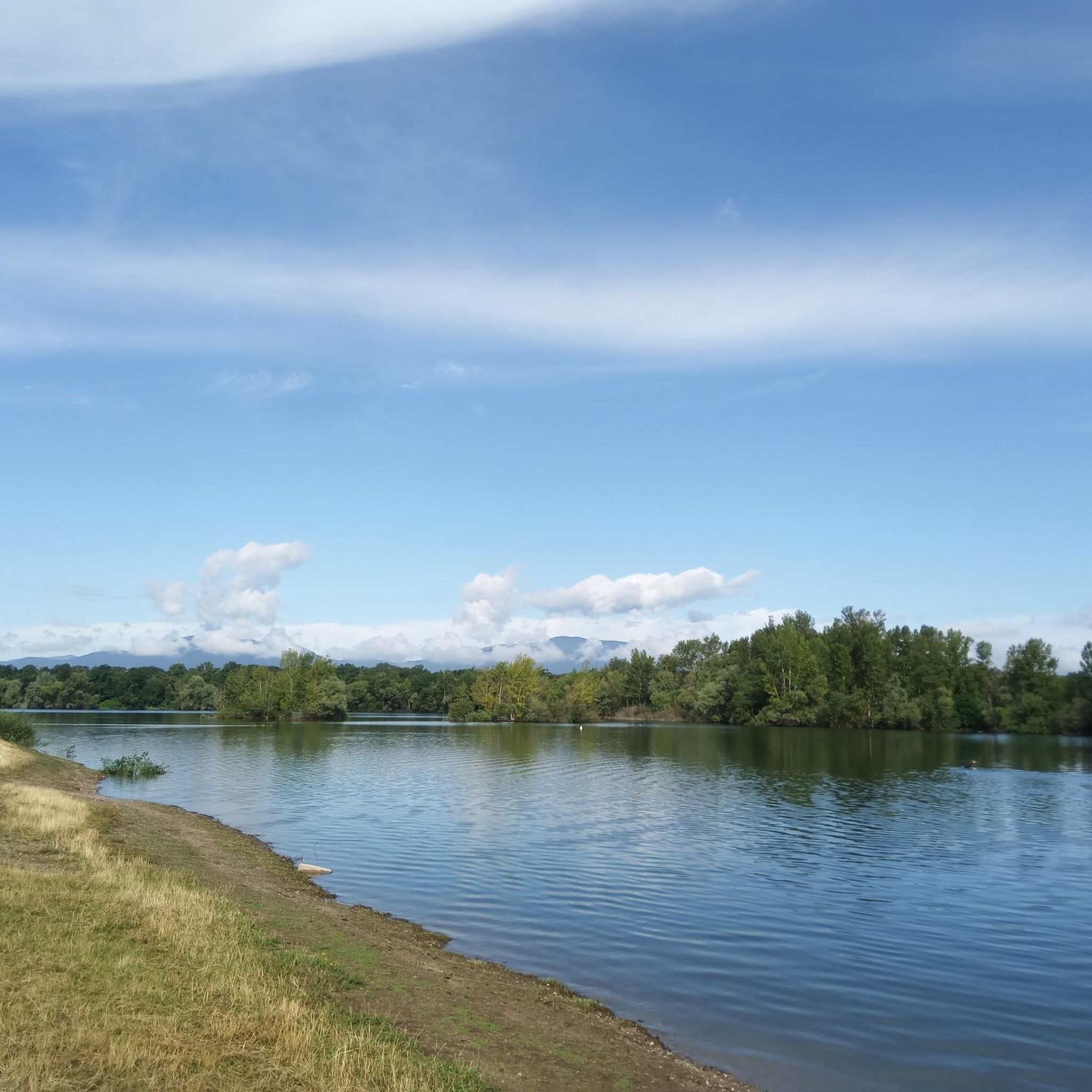
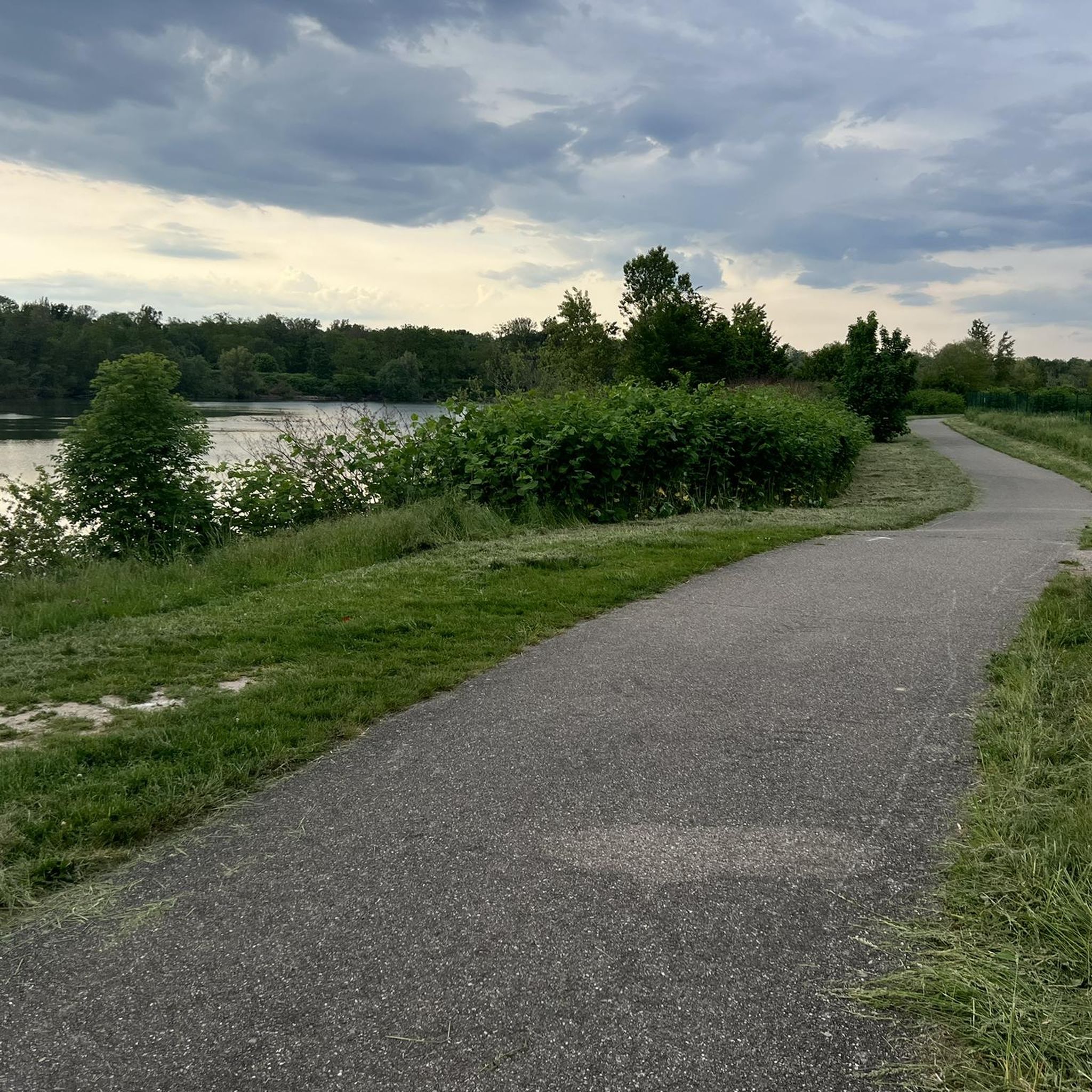
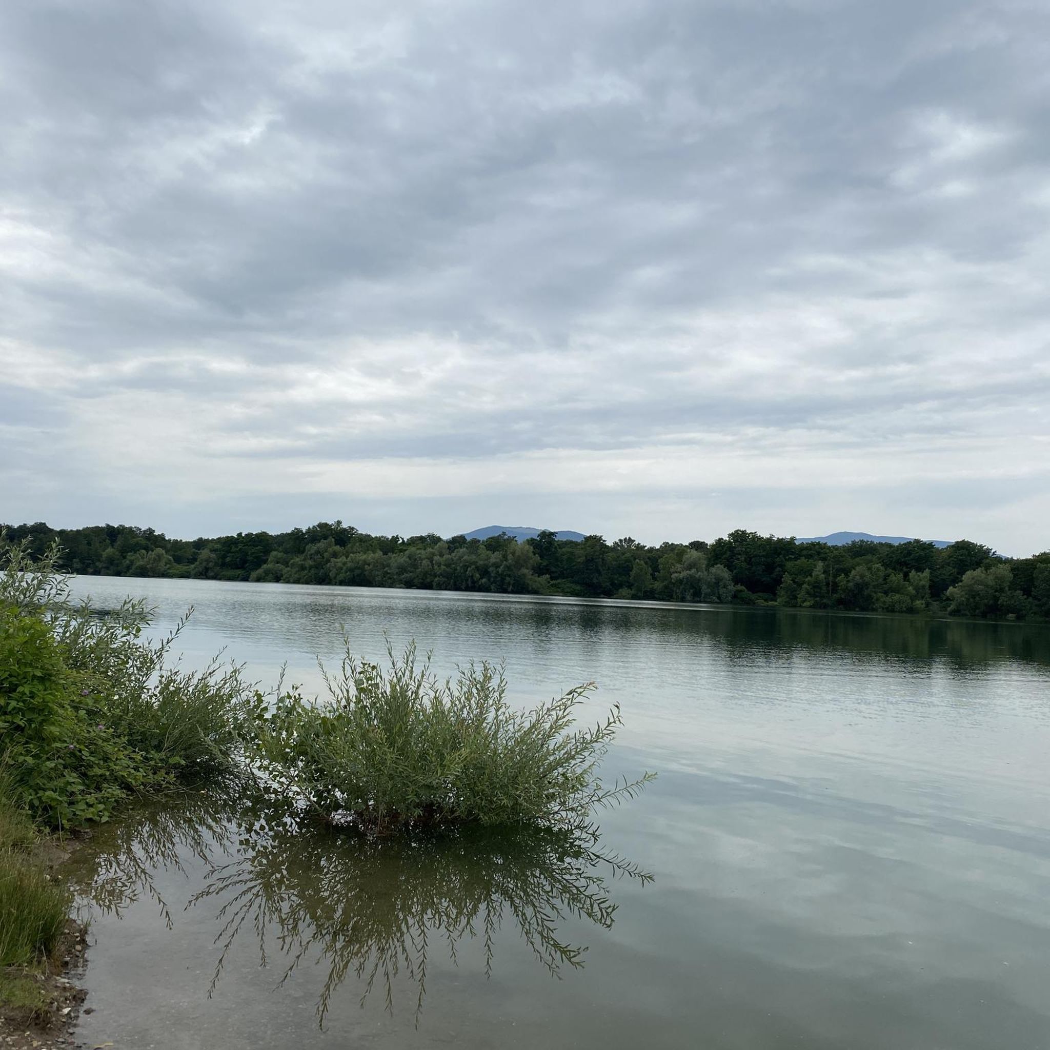
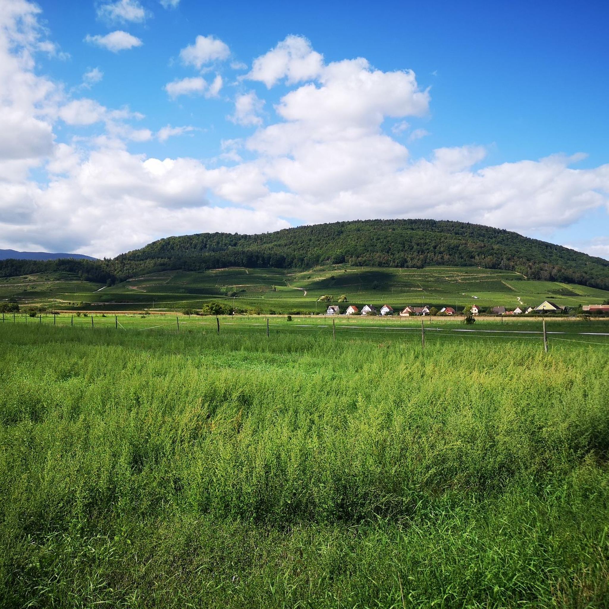
Tips from the Community

Unfortunately, recently (a few weeks ago), a "Non-Potable Water" sign has been put up at the water point.
0
0

The ascent to the Col du Firstplan from Soultzbach-les-Bains is steady. The road surface is good and occasionally a tuned car whizzes past. There are few lay-bys on the roadside for a short stop, but at the top of the Col there is a picnic area.
0
0
Cycle path runs up and down mostly in the shade next to the villages. Good access for the ascents of Col du Firstplan and Col du Petit Ballon.
1
0

beautiful path to the summit
0
0

More info here; https://www.quaeldich.de/paesse/col-du-firstplan/
0
0
it's fun to ride up there
0
0
super nice to ride the climb
0
0
great view from up there
0
0
Frequently Asked Questions
How many road cycling routes are available around Ungersheim?
There are over 230 road cycling routes around Ungersheim, offering a wide range of options for different skill levels. This includes 79 easy routes, 128 moderate routes, and 31 challenging routes.
Are there easy road cycling routes suitable for beginners around Ungersheim?
Yes, Ungersheim offers numerous easy road cycling routes perfect for beginners. These routes typically feature flatter sections through the Alsace Plain. You can find nearly 80 easy routes in the area.
Where can I find challenging road cycling routes with significant climbs near Ungersheim?
For challenging rides, focus on routes that ascend into the Vosges foothills and mountain passes. The Grand Ballon – Markstein loop from Raedersheim is a difficult 57.3-mile (92.2 km) route with over 1,300 meters of elevation gain, taking you through high mountain passes.
What scenic viewpoints or attractions can I discover along road cycling routes near Ungersheim?
Many routes offer stunning views and historical sites. You might encounter the Viewpoint at the summit of Vieil Armand or the Hartmannswillerkopf National Monument. Some routes also pass through vineyards and offer glimpses of the Black Forest.
Are there circular road cycling routes available in Ungersheim?
Yes, many road cycling routes around Ungersheim are designed as loops, allowing you to start and finish in the same location. For example, the Vineyards of Rouffach – Bannstein Pass loop from Bollwiller is a moderate 27.9-mile (44.9 km) circular route.
What is the best time of year for road cycling in Ungersheim?
The spring and autumn months generally offer the most pleasant conditions for road cycling in Ungersheim, with milder temperatures and beautiful landscapes. Summer can also be good, but be prepared for warmer weather, especially in the Alsace Plain. Always check local weather forecasts before heading out.
Are there opportunities for cafe stops or refreshments along the road cycling routes?
Yes, the region is dotted with charming Alsatian villages and towns. Many routes will pass through or near places where you can find bakeries, cafes, and restaurants to refuel and enjoy local specialties. Planning your route with komoot allows you to identify potential stops.
What do other road cyclists say about their experience in Ungersheim?
The road cycling routes in Ungersheim are highly rated by the komoot community, with an average score of 4.4 stars from over 500 reviews. Cyclists often praise the varied landscape, from the flat plains to challenging mountain passes, and the well-maintained roads.
Can you recommend a less-traveled road cycling route around Ungersheim?
For a route that offers a mix of scenery without being overly crowded, consider the Alsace Plain – Black Forest view loop from Raedersheim. This moderate 34.8-mile (56.0 km) route provides beautiful views towards the Black Forest and traverses the agricultural areas of the Alsace Plain.
Is parking available for road cyclists in Ungersheim?
Yes, parking is generally available in and around Ungersheim, particularly in the larger towns and villages that serve as common starting points for routes. Look for public parking areas or designated spots near trailheads. It's advisable to check specific starting points for parking options.
Are there any routes that offer views of the vineyards?
Absolutely. The region is famous for its vineyards, especially in the Alsace Wine Route area. Routes like the Vineyards of Rouffach – Bannstein Pass loop from Bollwiller will take you directly through these picturesque landscapes, offering stunning views of the vine-covered hills.
Most popular routes around Ungersheim
Most popular attractions around Ungersheim

Get inspired with the komoot mobile app


Explore more
Browse the best Road cycling routes in other regions.
