The best road cycling routes around Merxheim
4.4
(464)
12,073
riders
12
rides
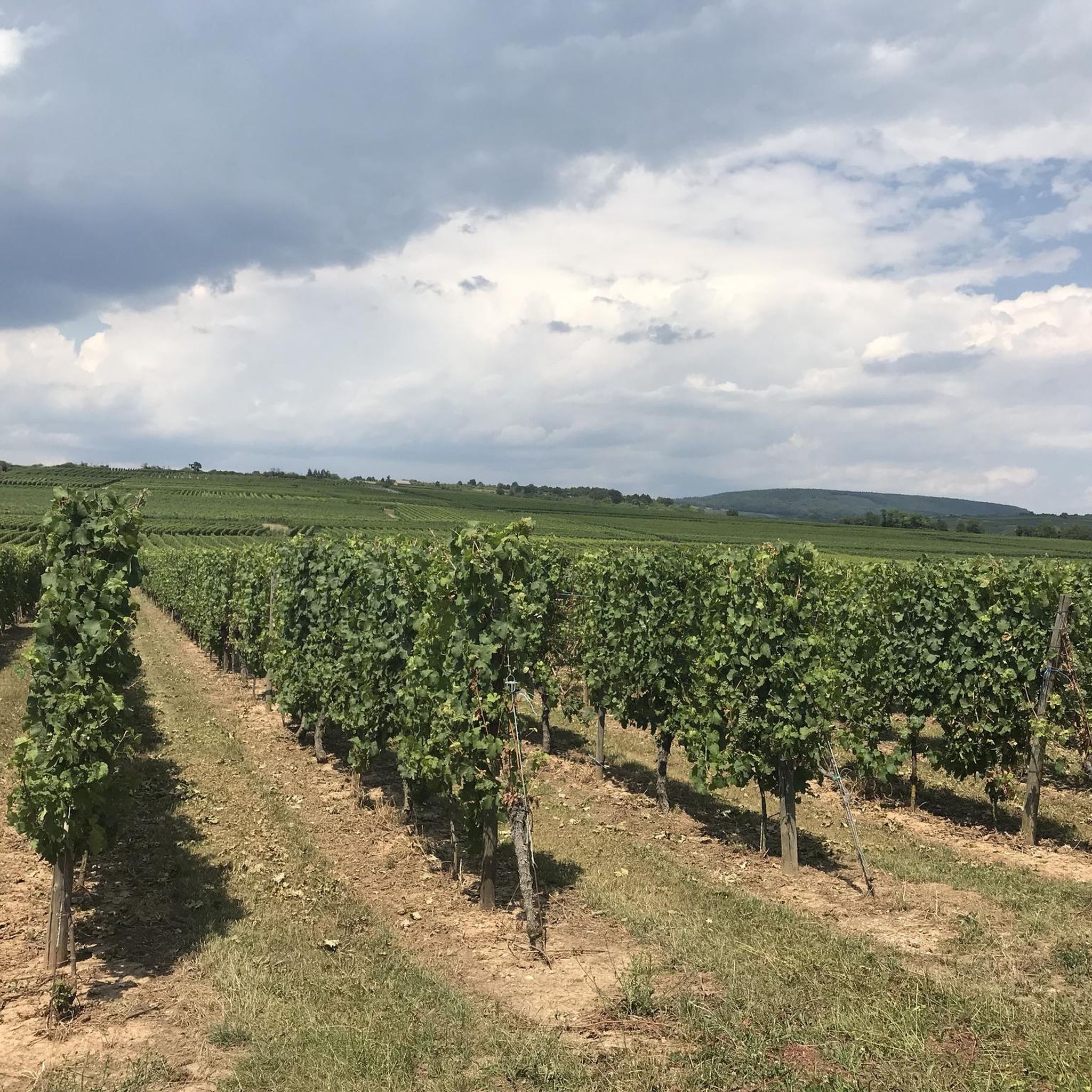
Road cycling around Merxheim offers diverse landscapes, from the gentle Nahe River Valley to the challenging Hunsrück Uplands. The region features a mix of flat river paths, rolling hills, and significant ascents, providing varied terrain for road cyclists. Routes often traverse through vineyards and dense forests, showcasing the natural beauty and cultural landscape. This area is characterized by its well-developed cycling infrastructure, catering to different fitness levels.
Best road cycling routes around Merxheim
- The most popular road cycling route is Pinot Bend – Firstplan Pass loop from Merxheim, a 45.5 miles (73.2 km) trail that takes 4 hours 16 minutes to complete. This difficult route features significant elevation gains, including a pass.
- Another top favourite among local road cyclists is Ascent to Col Amic – Col Amic Pass loop from Merxheim, a moderate 32.2 miles (51.9 km) path. This route includes a notable ascent to a pass, offering a challenging climb.
- Local road cyclists also love the A Beautiful Middle Age Village – Rouffach Old Town loop from Merxheim, a 32.5 miles (52.3 km) trail leading through picturesque villages and varied terrain, often completed in about 2 hours 13 minutes.
- Road cycling around Merxheim is defined by river valleys, vineyards, and the hilly Hunsrück region. The network offers options for different ability levels, from relaxed rides to intensive training routes.
- The routes in Merxheim are highly rated by the komoot community with an average score of 4.4 stars from over 470 reviews. More than 12,000 road cyclists have used komoot to explore Merxheim's varied terrain.
Last updated: July 5, 2026
5.0
(3)
82
riders
73.3km
04:15
1,720m
1,720m
Hard road ride. Very good fitness required. Mostly well-paved surfaces and easy to ride.
4.4
(7)
47
riders
51.9km
02:44
680m
680m
Moderate road ride. Good fitness required. Some segments of this route may be unpaved and difficult to ride.

Sign up for free
35
riders
119km
06:56
2,460m
2,460m
Hard road ride. Very good fitness required. Some segments of this route may be unpaved and difficult to ride.
16
riders
50.6km
02:07
220m
220m
Moderate road ride. Good fitness required. Some segments of this route may be unpaved and difficult to ride.
5.0
(1)
8
riders
20.8km
00:48
30m
30m
Easy road ride. Great for any fitness level. Mostly well-paved surfaces and easy to ride.
Get access to more routes and recommendations from other explorers.
Sign up for free
Already have an account?
Our route recommendations are based on thousands of hikes, rides, and runs completed by other people on komoot.
Start today with a free account
Your next adventure awaits.
Login or Signup
Tips from the Community

The bridge in the town of Merxheim over the river Ill is worth a short stop for a photo, or simply to admire. The Ill is 217 km long in total, originates in the Jura, flows through the departments of Haut Rhin, Bas Rhin and flows as a left tributary into the Rhine near Erstein, which is located south of Strasbourg.
0
0

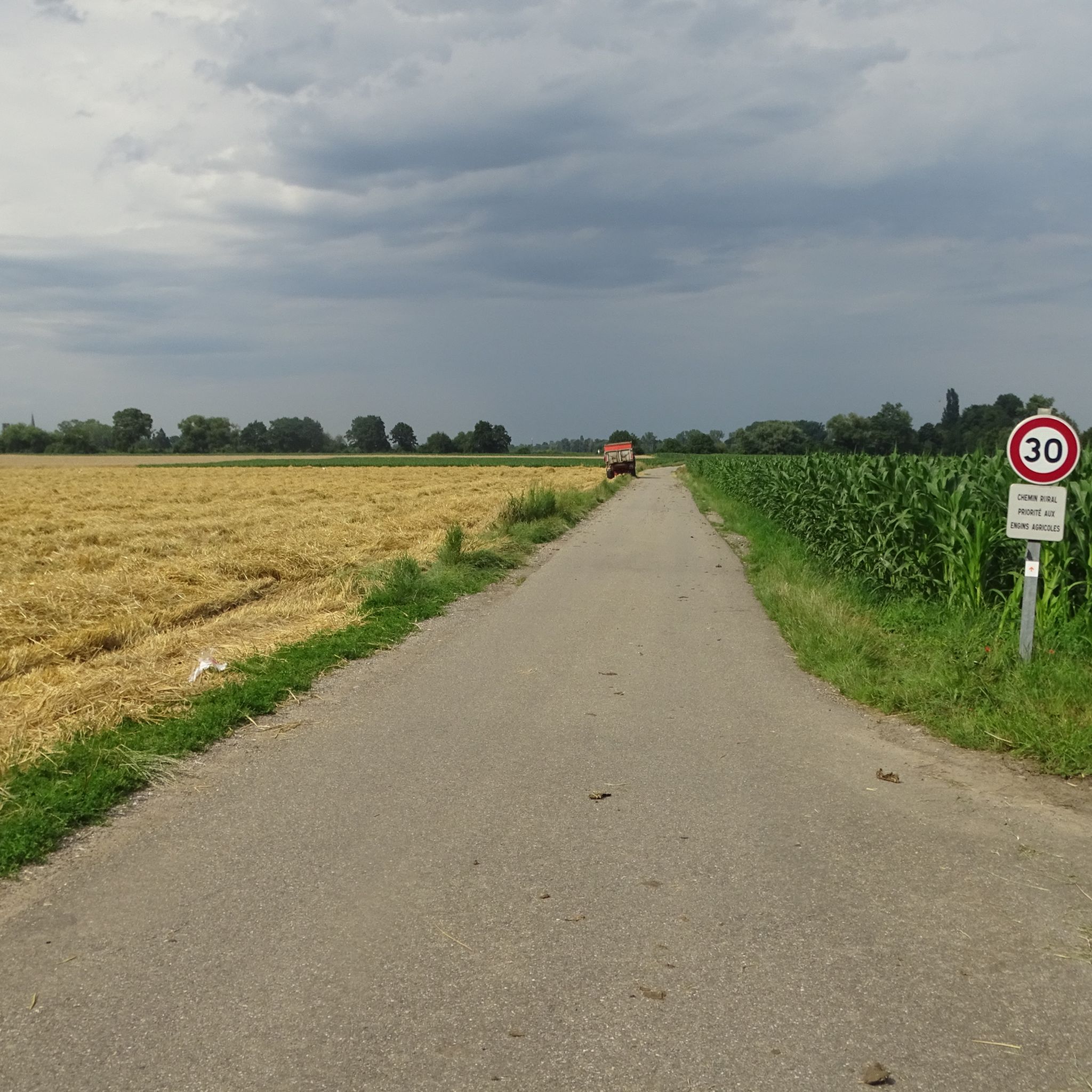
As I said, this is the "highway".
0
0

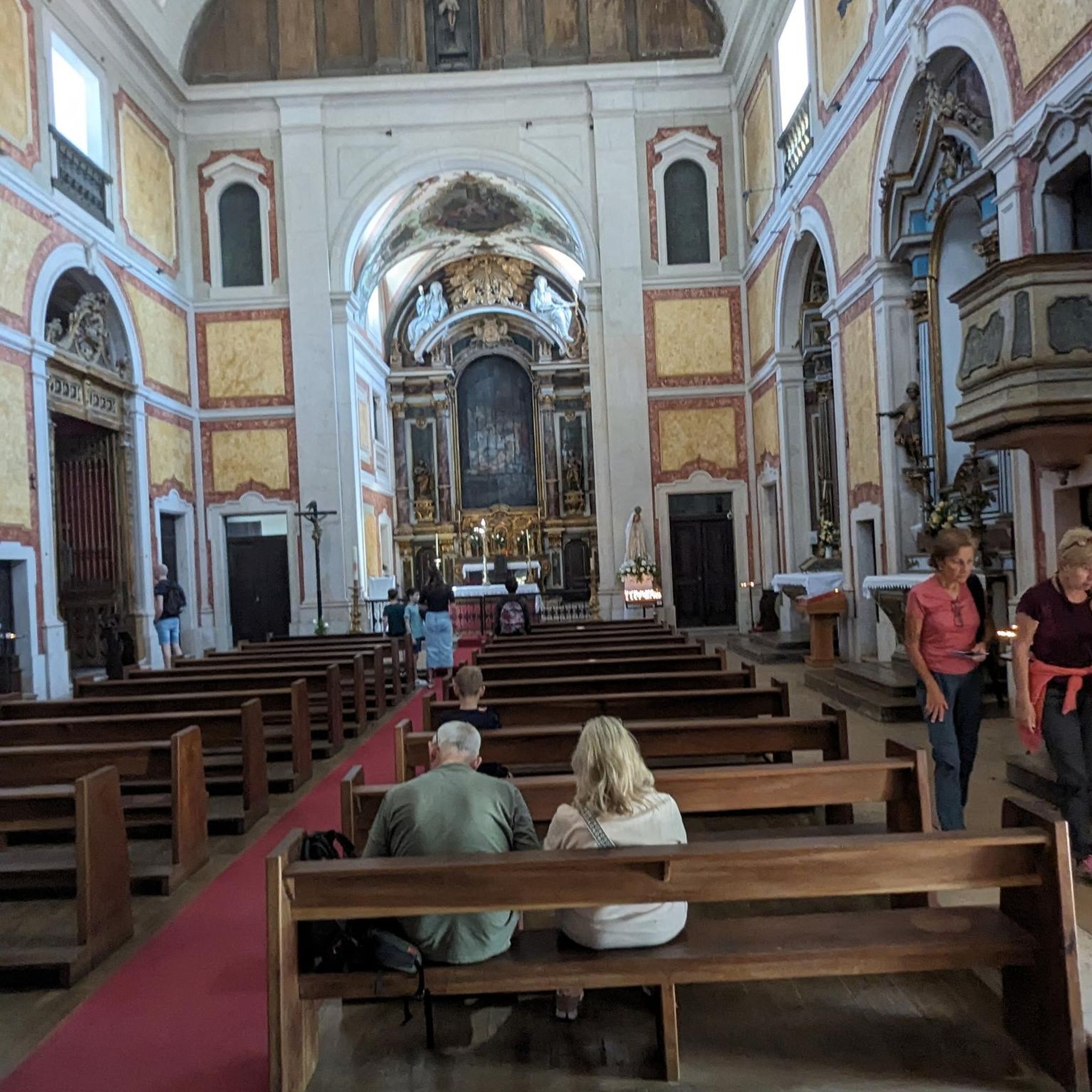
Beautiful Romanesque bell tower with vaulted ceiling. Sculpted main door. Small "Lourdes" grotto next to it.
0
0
A few spaces available. Close to the access point to the Eiblen. On the edge of the Ill trail (marked by the Club Vosgien).
0
0

Great Climb with new tarmac. Although steep and not easy it's still very enjoyable.
1
0

A pleasant section to ride, with moderate climbs and little traffic. There were a few racing cyclists on the road.
0
0

A challenge on a mountain bike without a motor. But the downhill trails are great. It's worth it 👍🏻
2
0
Frequently Asked Questions
What types of terrain can I expect on road cycling routes around Merxheim?
Road cycling around Merxheim offers a diverse landscape. You'll find generally flat and relaxed rides along the Nahe River Valley, which is part of the extensive Nahe Cycle Route. In contrast, the nearby Hunsrück Uplands provide a more challenging, hilly profile with significant ascents and descents through forests and meadows, ideal for intensive training.
Are there easy road cycling routes suitable for beginners in Merxheim?
Yes, Merxheim offers options for various skill levels. While many routes feature significant climbs, there is at least one easy road cycling route available. For example, the Church of Saints Peter and Paul – Ensisheim loop from Merxheim is an easy option, covering about 22 km with minimal elevation gain.
What challenging road cycling routes are available near Merxheim?
For experienced cyclists seeking a challenge, Merxheim is an excellent base. Routes like the Pinot Bend – Firstplan Pass loop from Merxheim offer significant elevation gains over 73 km. Another demanding option is the Hundsruck – Bannstein Pass loop from Merxheim, which spans nearly 120 km with over 2,400 meters of ascent.
What natural features or scenic viewpoints can I discover while cycling in Merxheim?
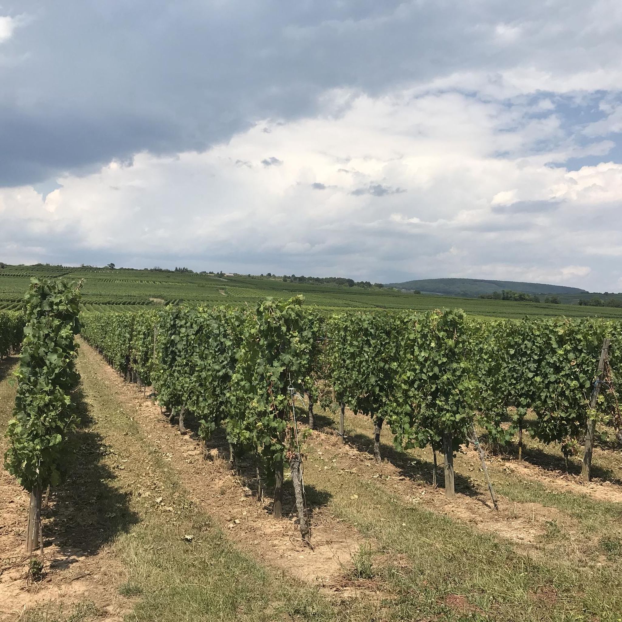
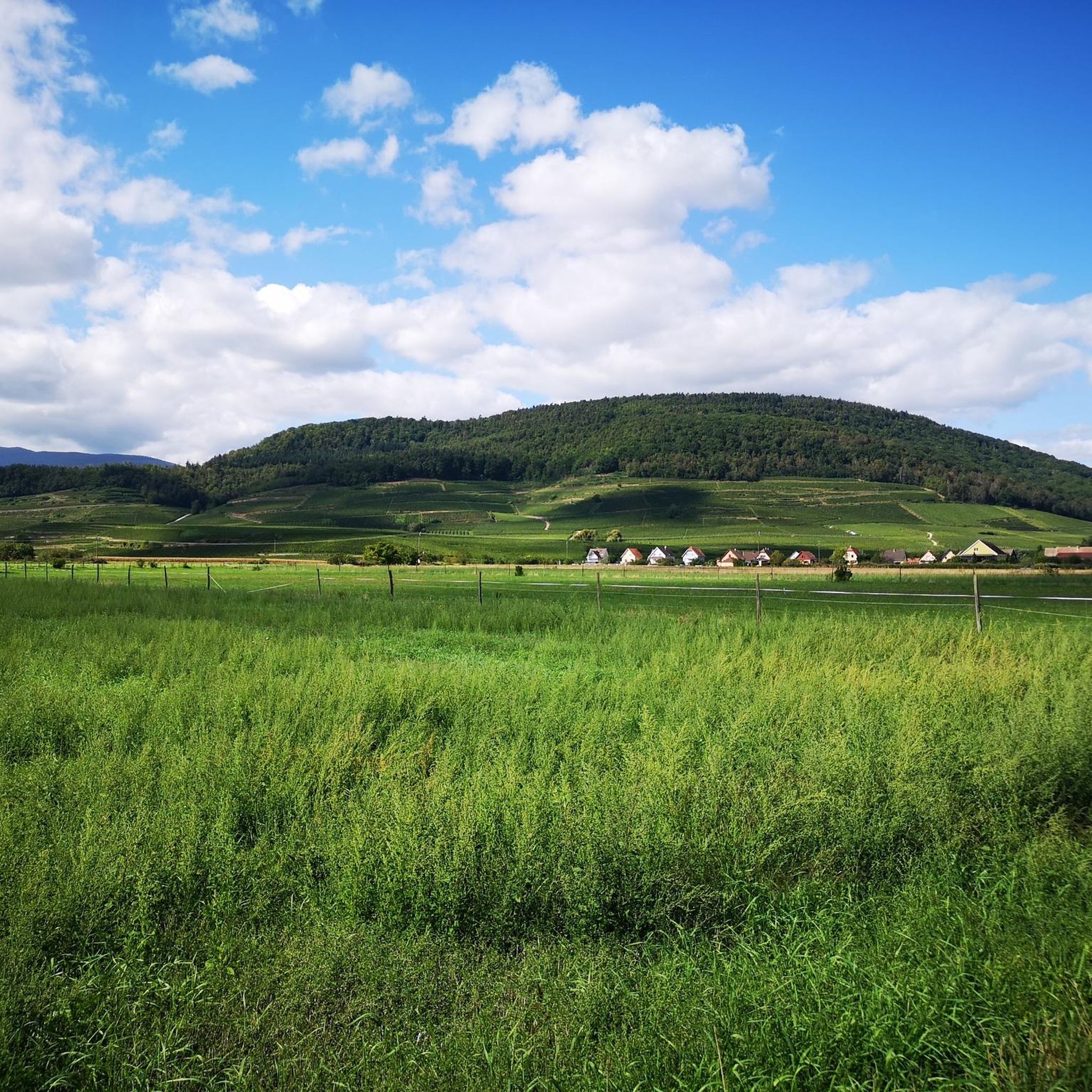
The region boasts numerous scenic spots. You can cycle through picturesque vineyards, alongside the Nahe River, and through dense forests like the Soonwald in the Hunsrück. Notable viewpoints include the Viewpoint at the summit of Vieil Armand. The area also features historical sites like Roche Sermet and natural monuments such as the Langenstein Menhir.
Are there any mountain passes accessible by road bike from Merxheim?
Yes, Merxheim's proximity to the Hunsrück region means several mountain passes are within reach. Cyclists can tackle climbs such as the Ascent from Soultz to Col du Grand Ballon, or explore areas around the Bannstein Pass and Neuland Pass, offering challenging ascents and rewarding descents.
What do other road cyclists enjoy most about road cycling in Merxheim?
The road cycling routes around Merxheim are highly rated by the komoot community, with an average score of 4.4 stars from over 470 reviews. Cyclists often praise the diverse landscapes, which offer a mix of flat river paths, rolling hills, and significant ascents, catering to various fitness levels. The well-developed cycling infrastructure and the charm of the surrounding wine region are also frequently highlighted.
How many road cycling routes are available around Merxheim?
There are over 10 dedicated road cycling routes around Merxheim listed on komoot, ranging from easy to difficult. This includes 1 easy route, 6 moderate routes, and 5 difficult routes, providing a wide selection for different preferences and fitness levels.
Are there any historical sites or cultural attractions along the road cycling routes?
Beyond natural beauty, the region offers historical points of interest. You might encounter sites like the Adlerhorst Command Post – World War I or explore charming villages. The A Beautiful Middle Age Village – Rouffach Old Town loop from Merxheim specifically leads through picturesque villages and varied terrain.
Can I find loop routes for road cycling starting from Merxheim?
Yes, many of the road cycling routes around Merxheim are designed as loops, allowing you to start and end your ride in the same location. Examples include the Ascent to Col Amic – Col Amic Pass loop from Merxheim and the Pinot Bend – Firstplan Pass loop from Merxheim.
What is the general difficulty level of road cycling routes in Merxheim?
The difficulty level varies significantly. You can find easy routes with minimal elevation, moderate routes that include notable ascents, and difficult routes featuring substantial climbs and passes. This range ensures that both casual riders and those seeking a strenuous workout can find suitable options.
Is Merxheim a good base for exploring the Nahe Cycle Route?
Yes, Merxheim is strategically located near the Nahe River, providing direct access to sections of the 135 km long Nahe Cycle Route. This route offers a generally flat profile, making it suitable for relaxed rides alongside the river and connecting to a wider network of cycle paths in the Hunsrück-Nahe region. For more information on the Nahe Cycle Route, you can visit visitsaarland.co.uk.
Most popular attractions around Merxheim

Get inspired with the komoot mobile app


Explore more
Browse the best Road cycling routes in other regions.
