The best walks and hikes around Niederhergheim
4.5
(5446)
24,017
hikers
472
hikes
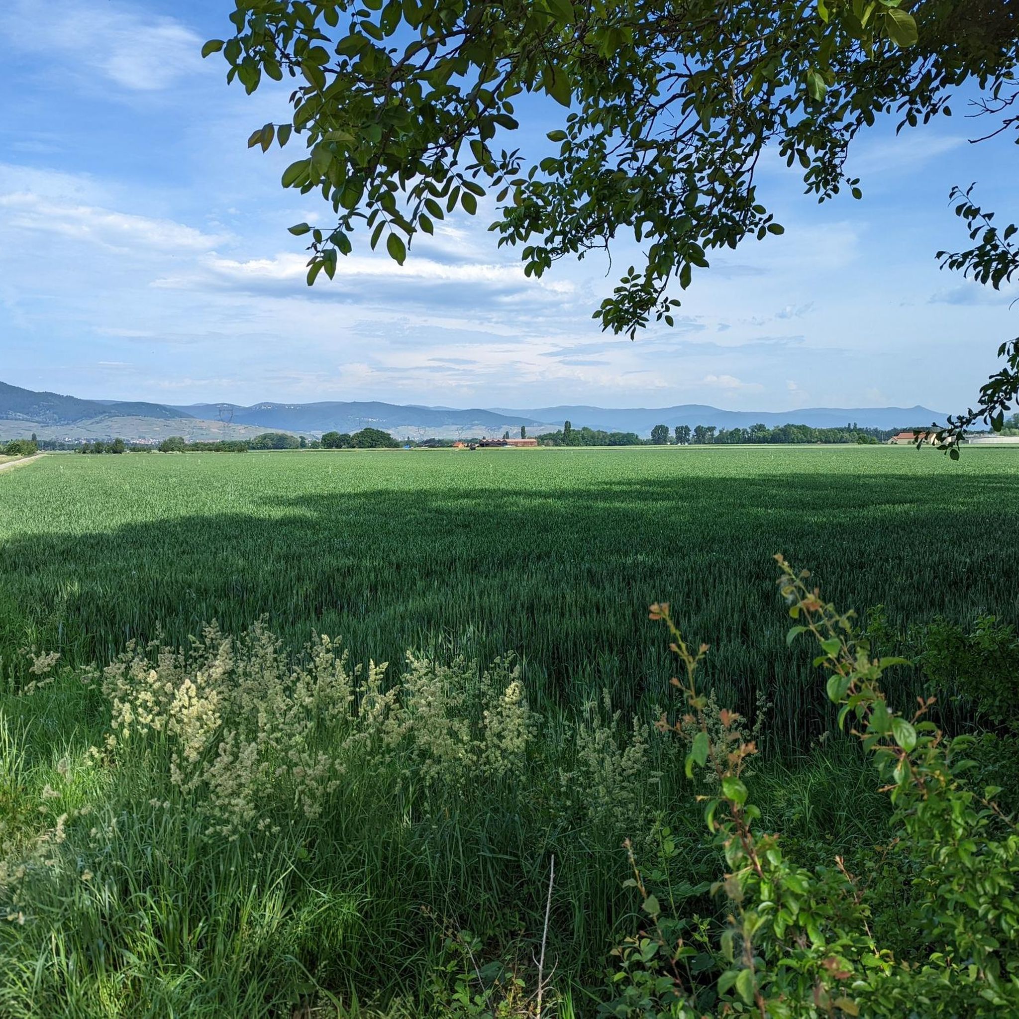
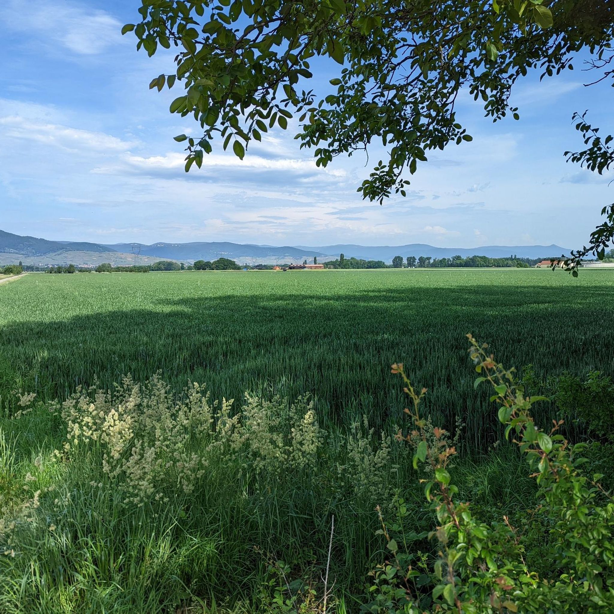
Hiking around Niederhergheim offers access to diverse landscapes in the Haut-Rhin department of France. The region is characterized by the tranquil Ill River, extensive vineyards, and the forested foothills of the Vosges Mountains. Niederhergheim itself features 225 hectares of forest, providing opportunities for shaded walks. This combination of river plains, agricultural land, and rising terrain makes it a varied destination for outdoor activities.
Best hiking trails around Niederhergheim
- The most popular hiking route is Alsace Plain – Path through the…
Last updated: October 17, 2026
5.0
(1)
16
hikers
9.27km
02:33
160m
160m
Moderate hike. Good fitness required. Easily-accessible paths. Suitable for all skill levels.
4.0
(2)
12
hikers
10.4km
02:54
200m
200m
Moderate hike. Good fitness required. Easily-accessible paths. Suitable for all skill levels.

4.8
(4)
7
hikers
13.9km
03:38
100m
100m
Moderate hike. Good fitness required. Easily-accessible paths. Suitable for all skill levels.
4.0
(5)
24
hikers
5.86km
01:28
10m
10m
Easy hike. Great for any fitness level. Easily-accessible paths. Suitable for all skill levels.
3.7
(3)
8
hikers
Hard hike. Very good fitness required. Easily-accessible paths. Suitable for all skill levels.
Get access to more routes and recommendations from other explorers.
Already have an account?
Our route recommendations are based on thousands of hikes, rides, and runs completed by other people on komoot.
Start today with a free account
Your next adventure awaits.

Tips from the Community

Panoramic viewpoint with orientation table.
0
0


simply relaxed, along the contour line
0
0
This is a private religious building located in the heart of Clos Saint-Imer, a historic vineyard in Gueberschwihr belonging to Domaine Ernest Burn. It was consecrated in August 1989 and is dedicated to Saint Imer, a 7th-century hermit linked to the local legend of the village.
0
0
Located north of the picturesque village of Gueberschwihr, the Goldert range extends between 230 and 330 meters above sea level. Its steep slope, 50 to 60% in its upper reaches, gradually diminishes towards the plain. It benefits from morning sunshine, thanks to its eastern exposure, which protects it from excessive heat, particularly in summer. This terroir is a great example of Gewurztraminer. This is undoubtedly why it has long been cultivated here, initially in its original form, Traminer.
0
0
The estate is located in the Grands Crus region.
0
0

I think the highlight here is not the panel, but the church itself. In the right side panel is a niche containing a special statue of the Virgin Mary. The entrance portal is also remarkable.
1
0

Frequently Asked Questions
How many hiking trails are available around Niederhergheim?
There are nearly 500 hiking trails around Niederhergheim, offering a wide range of options for all skill levels. This includes over 240 easy routes, more than 200 moderate trails, and around 25 more challenging hikes.
What types of landscapes can I expect to see while hiking near Niederhergheim?
Hiking around Niederhergheim offers diverse landscapes. You can explore tranquil paths along the Ill River, wander through picturesque vineyards, or immerse yourself in the local forests and the foothills of the Vosges Mountains. The region's terrain ranges from river plains to agricultural land and rising hills.
Are there any family-friendly hiking options in Niederhergheim?
Yes, Niederhergheim offers many family-friendly hiking options, particularly along the Ill River. An easy and pleasant walk of approximately 18 km can be enjoyed along the banks of the Ill, stretching towards Sundhoffen. Many of the over 240 easy routes are suitable for families.
Are there any circular walks available around Niederhergheim?
Yes, many circular walks are available. For example, you can enjoy the Alsace Plain – Path through the vineyards loop from Hattstatt, which is a moderate 9.4 km trail through scenic vineyards. Another option is the Ill River loop from Logelheim, an easy 5.9 km path along the riverside.
What are some notable attractions or landmarks I can see while hiking?
The region around Niederhergheim is rich in attractions. You can hike through vineyards towards historic sites like the Three Castles of Eguisheim or Hagueneck Castle. The charming Eguisheim Village is also a popular destination, often accessible via vineyard trails.
What do other hikers enjoy most about hiking in Niederhergheim?
The area is highly rated by the komoot community, with an average score of 4.5 stars from nearly 4800 reviews. Hikers often praise the diverse terrain, from tranquil river paths to picturesque vineyards and forest trails, offering options for various ability levels.
Can I hike through vineyards near Niederhergheim?
Absolutely. Niederhergheim is ideally located near the famed Alsatian vineyards. Trails wind through picturesque vineyards, especially around areas like Rouffach and Eguisheim. A popular route is the Durch die Weinberge – Eguisheim Castle loop from Herrlisheim-près-Colmar, which offers views towards Eguisheim Castle.
Are there any longer or more challenging hikes available?
Yes, for those seeking a greater challenge, the region offers more strenuous options. The Vosges Mountains to the west provide more demanding hikes amidst breathtaking landscapes. A difficult route closer by is the Little Venice – Colmar – Poissonnerie district loop from Herrlisheim-près-Colmar, covering over 28 km.
What is the best time of year to go hiking in Niederhergheim?
The Alsace region, including Niederhergheim, is beautiful for hiking in spring, summer, and autumn. Spring brings blooming vineyards, summer offers lush greenery, and autumn provides stunning fall colors, especially in the vineyards and forests. The weather is generally mild during these seasons, making for pleasant hiking conditions.
Are there any specific areas for shaded walks during warmer months?
Yes, Niederhergheim itself boasts 225 hectares of forest, providing ample opportunities for shaded walks. Additionally, many trails in the foothills of the Vosges Mountains offer good tree cover, making them ideal for hiking during warmer periods.
Where can I find information about public transport to hiking trailheads?
While specific public transport details for individual trailheads are not provided here, the region is well-connected. For detailed public transport information to specific starting points, it is recommended to check local transport authority websites or apps for routes connecting to villages like Rouffach, Eguisheim, or Colmar, which serve as hubs for many trails.
Are there any trails that offer panoramic views?
Many trails, particularly those winding through the vineyards and ascending into the foothills of the Vosges Mountains, offer panoramic views. From higher points, you can often see across the Alsace plain and, on clear days, even glimpse the Black Forest in the distance.
Most popular routes around Niederhergheim
Most popular attractions around Niederhergheim

Get inspired with the komoot mobile app


Explore more
Browse the best Hikes in other regions.
