The best road cycling routes around Estaires
4.3
(179)
5,637
riders
21
rides
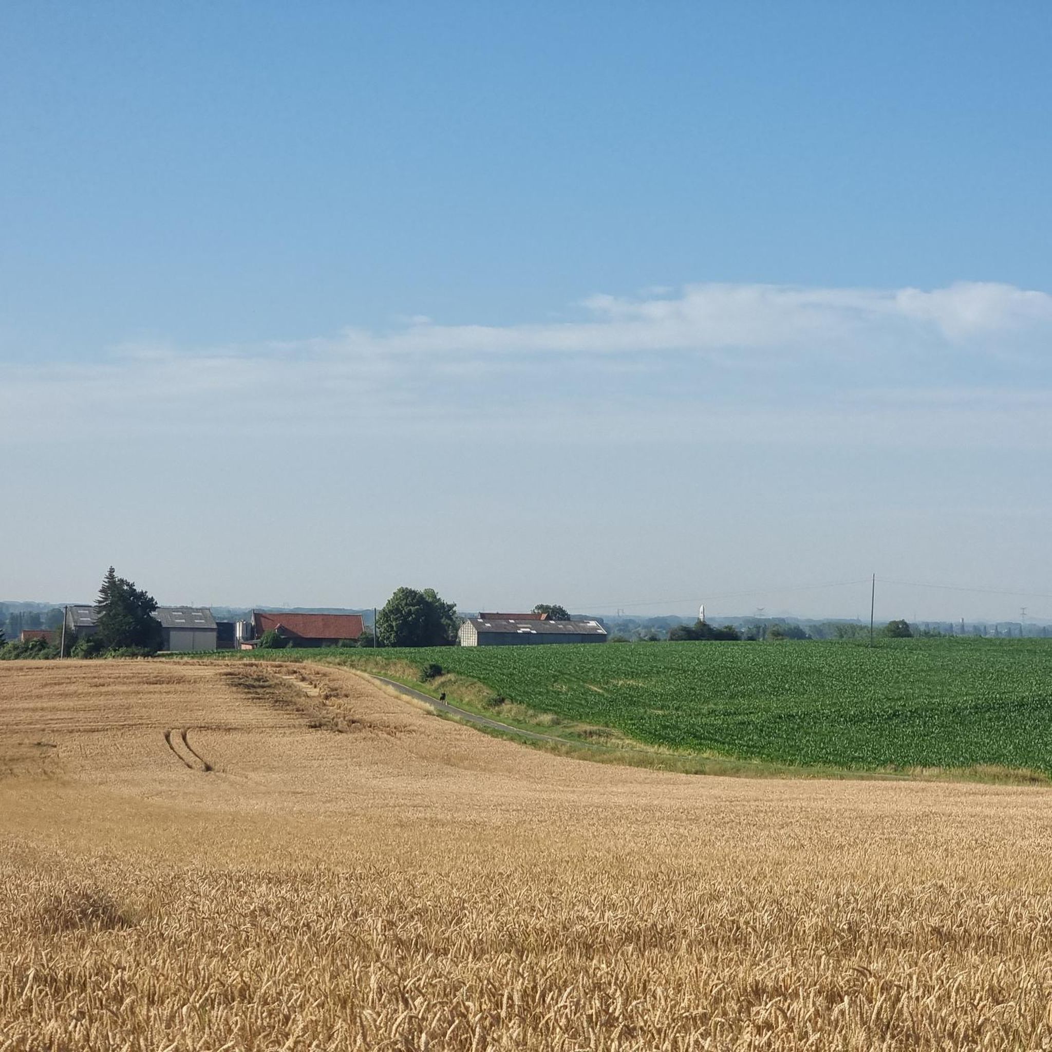
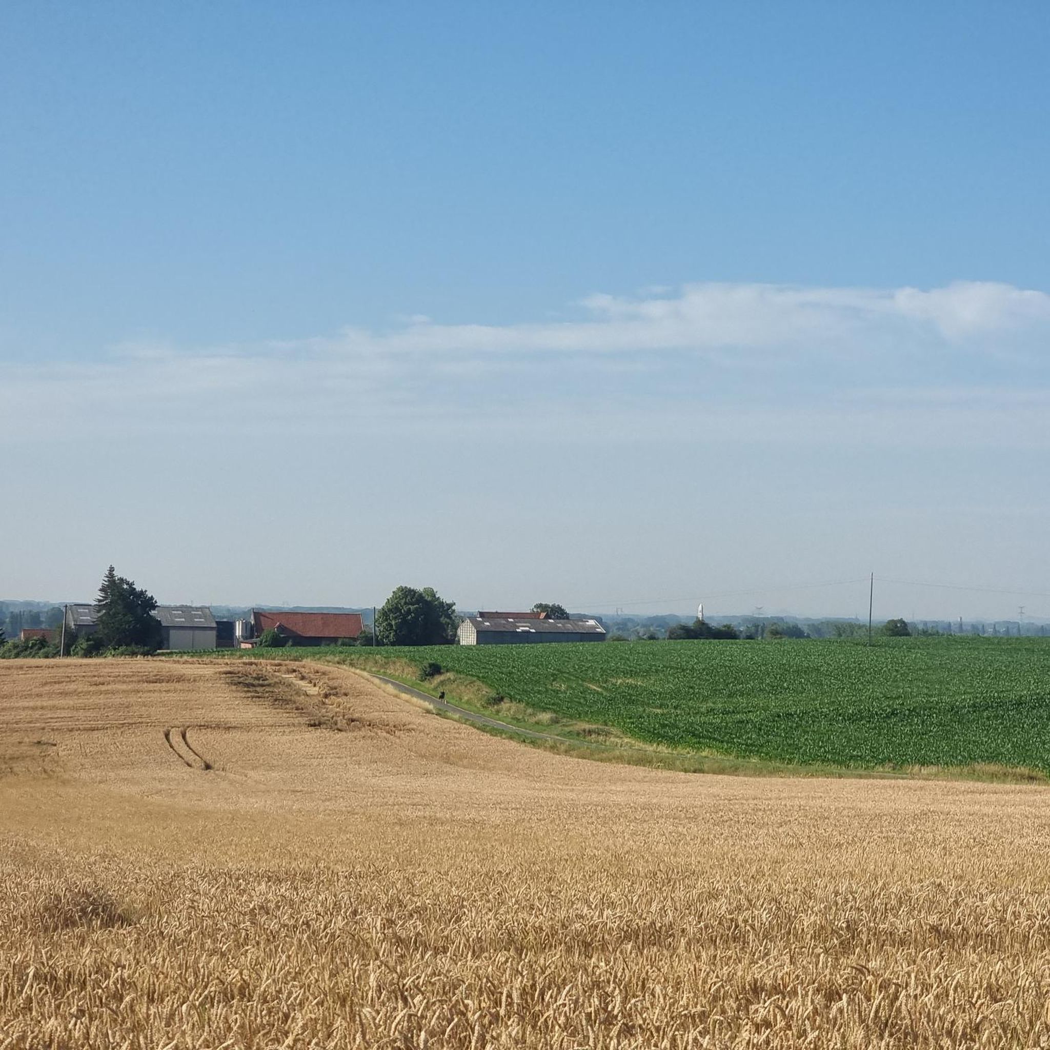
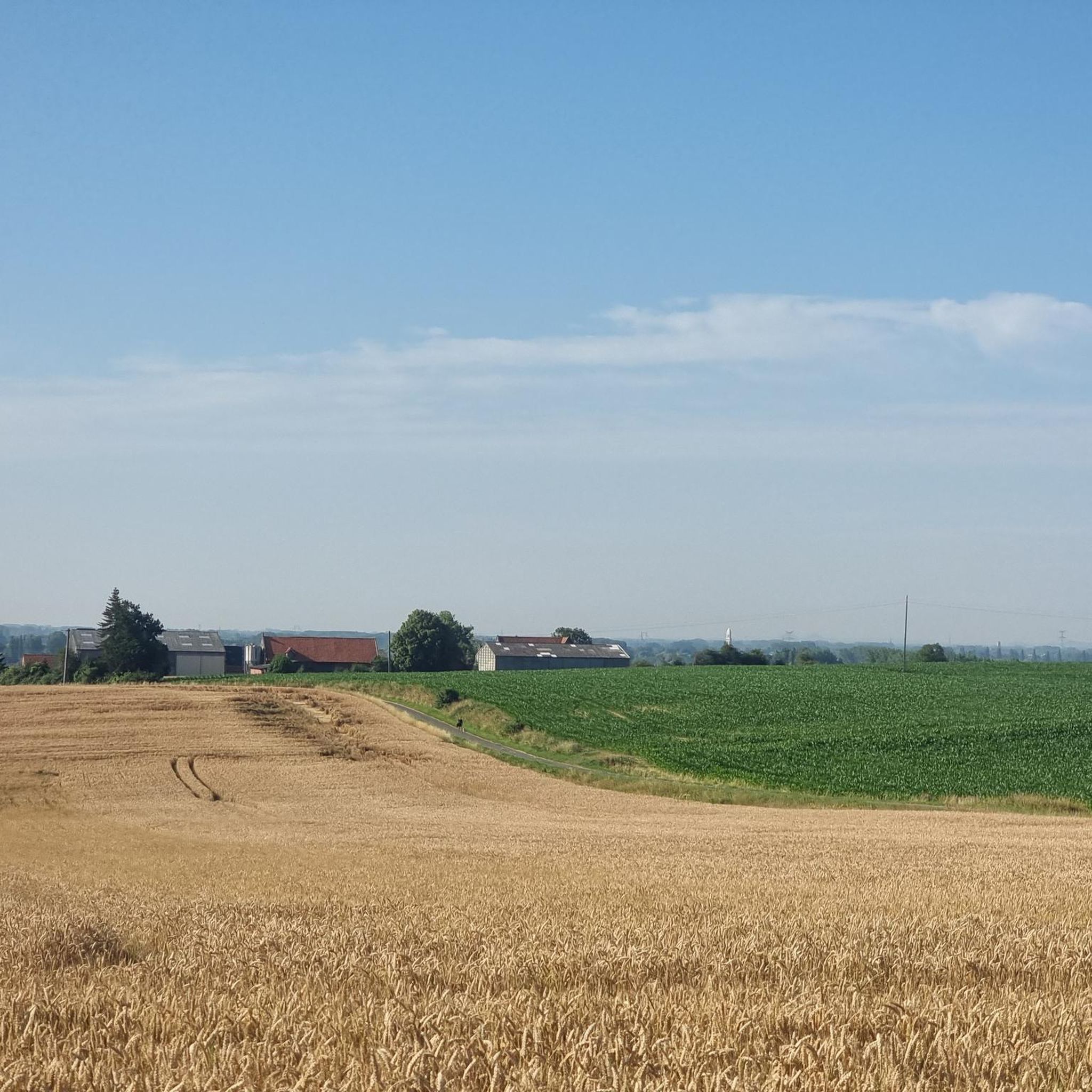
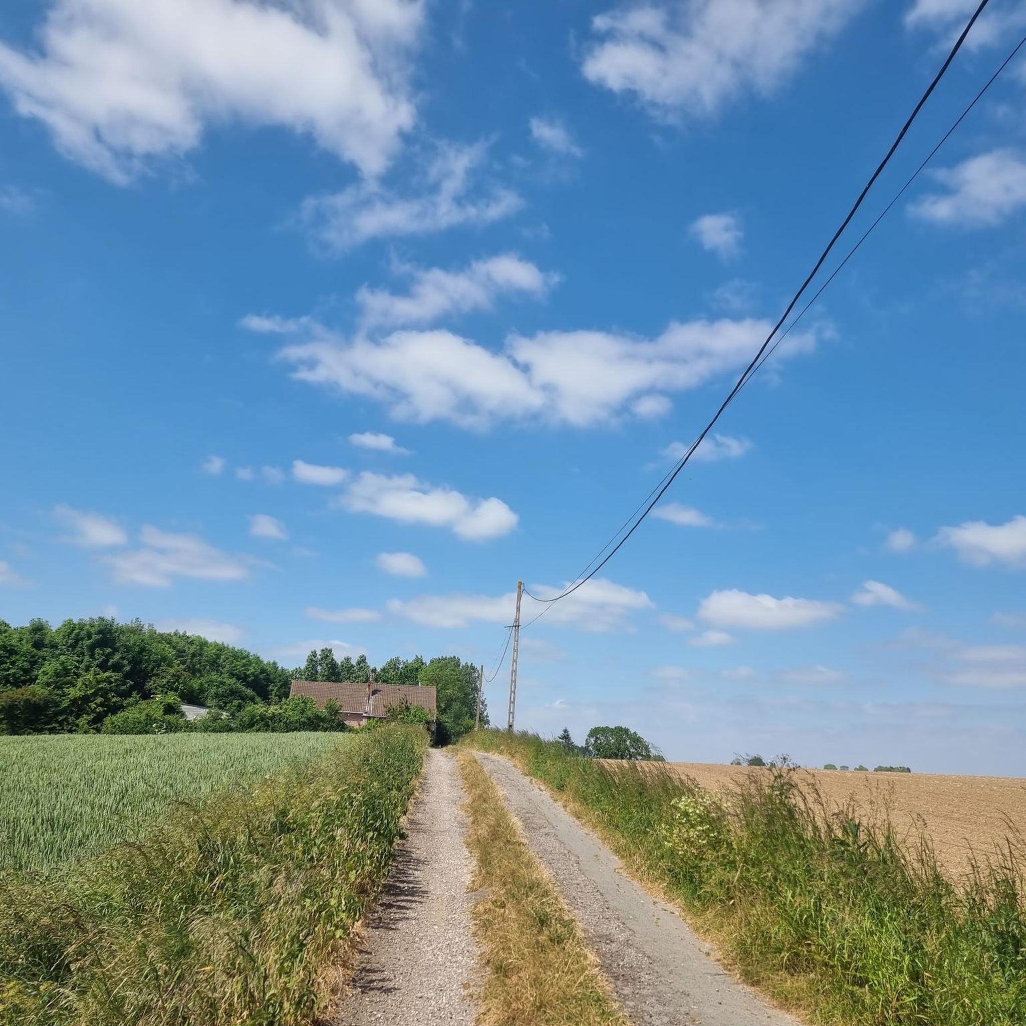
Road cycling around Estaires is characterized by its generally flat terrain, extensive network of cycle paths, and green agricultural landscapes. The region, situated in the Nord department, offers routes along the Lys River and through bucolic countryside. While mostly flat, some routes may include small hills, providing varied terrain for cyclists.
Best road cycling routes around Estaires
- The most popular road cycling route is View of Mont des Cats – Mont des Cats loop from La Gorgue, a 34.2…
Last updated: July 5, 2026
3.0
(1)
71
riders
87.8km
03:40
420m
420m
Moderate road ride. Good fitness required. Mostly well-paved surfaces and easy to ride.
5.0
(1)
13
riders
52.6km
02:17
290m
290m
Moderate road ride. Good fitness required. Mostly well-paved surfaces and easy to ride.

Sign up for free
11
riders
57.6km
02:32
290m
290m
Moderate road ride. Good fitness required. Mostly well-paved surfaces and easy to ride.
4.0
(1)
12
riders
49.2km
02:01
40m
40m
Moderate road ride. Good fitness required. Some segments of this route may be unpaved and difficult to ride.
10
riders
45.9km
02:04
250m
250m
Moderate road ride. Good fitness required. Some segments of this route may be unpaved and difficult to ride.
Get access to more routes and recommendations from other explorers.
Sign up for free
Already have an account?
Our route recommendations are based on thousands of hikes, rides, and runs completed by other people on komoot.
Start today with a free account
Your next adventure awaits.
Login or Signup

Tips from the Community

The ponds of the 4 sons of Aymon offer a pleasant natural setting for fishing and walking. Surrounded by greenery, they are a place of relaxation appreciated by nature lovers.
0
0

Be careful between Mettern and Fresne, there is heavy traffic and be careful on the cobblestones of Cassel if they are wet.
0
2

The name "Catsberg" refers to a Germanic tribe, the Chatti (in Latin Chatti or Catti), who first appeared in history in the last years before the beginning of our era. In 162 and 170, the Chatti entered the history books once more as aggressors with their invasions of present-day southern Germany and Belgium. After that, the Chatti disappeared as an independent tribe. They probably merged with the Franks at the beginning of the sixth century. Source: Wikipedia
2
0
The top of the Catsberg is 164m above sea level. The TV mast adds another 200m to that.
1
0

magnificent landscapes of beautiful slopes and descents
0
1

Very short portion with a very high percentage (I think we are approaching 20%) over around twenty meters. It's surprising when you don't expect it!
0
0

the boats pass through another more navigable canal
1
0
it is also the market place
1
2
Frequently Asked Questions
How many road cycling routes are available around Estaires?
There are over 20 road cycling routes around Estaires, catering to various preferences. The komoot community has explored these routes over 2,500 times, highlighting the region's popularity among cyclists.
What is the typical terrain like for road cycling in Estaires?
Road cycling in Estaires is characterized by its generally flat terrain, particularly across the Lys plain and through green agricultural landscapes. While mostly flat, some routes may include mild slopes or small hills, offering varied terrain suitable for a range of abilities.
When is the best time of year to go road cycling in Estaires?
The region is enjoyable for road cycling throughout much of the year. The generally flat terrain and extensive cycle path network make it accessible. Spring and autumn often provide pleasant temperatures and scenic views of the changing landscapes.
Are there road cycling routes suitable for beginners in Estaires?
Yes, Estaires offers several easy road cycling routes perfect for beginners. Out of the available routes, 13 are classified as easy, providing gentle rides through the countryside and along the Lys River.
Can I find challenging road cycling routes near Estaires?
While the terrain is generally flat, some routes offer more moderate distances and slight elevation changes for those seeking a bit more challenge. For example, the Mont des Cats – View of Mont des Cats loop from Estaires covers 45.9 km with some elevation, providing a moderate workout.
Are there circular road cycling routes in Estaires?
Many of the road cycling routes around Estaires are designed as loops, allowing you to start and finish in the same location. An example is the Grand'Place of Bailleul – Bailleul Belfry loop from Estaires, which offers a scenic circular ride.
What historical landmarks can I explore along road cycling routes in Estaires?
The region holds significant historical importance, particularly related to World War I. You can incorporate visits to memorial sites such as the Australian Memorial Park Fromelles or Le Trou Aid Post Cemetery into your rides, offering a poignant historical perspective.
Are there natural features to see while cycling around Estaires?
Absolutely. The Lys River is a prominent natural feature, with its banks offering pleasant cycling opportunities. The Watine municipal park in Estaires also provides a wooded environment for relaxation. The region's green, agricultural landscapes are a constant backdrop to your rides.
Is parking available for cyclists in Estaires?
Estaires is generally accommodating for visitors. While specific dedicated cyclist parking areas are not detailed, parking is typically available within the commune, especially near town centers or public parks, from where you can easily start your cycling routes.
Can I reach Estaires by public transport with my bike?
Information on specific public transport options for bikes to Estaires is not readily available. It's advisable to check local and regional transport provider websites for current policies regarding bicycle carriage on trains or buses if you plan to use public transport.
Are there cafes or amenities along the road cycling routes?
Many routes pass through or near small towns and villages where you can find cafes, bakeries, and other amenities to refuel. The extensive network of cycle paths often connects these local hubs, making it convenient to stop for a break.
What do other road cyclists appreciate about the routes in Estaires?
The road cycling routes in Estaires are highly rated by the komoot community, with an average score of 4.3 stars from over 50 reviews. Cyclists often praise the well-paved paths, the serene agricultural landscapes, and the opportunity to explore historical sites and natural features like the Lys River.
Are there any hidden gem road cycling routes in Estaires?
The region is known for its '20 hidden gems' for exploration. While specific routes are not named as 'hidden gems,' the extensive network of 830 km of varied cycle paths, part of the 'Valley of the Lys to the mountains of Flanders,' offers numerous opportunities to discover less-traveled, picturesque roads.
Most popular attractions around Estaires

Get inspired with the komoot mobile app


Explore more
Browse the best Road cycling routes in other regions.
