The best walks and hikes around Ostheim
4.5
(10993)
48,230
hikers
718
hikes
Hiking trails around Ostheim are situated within the Rhön Biosphere Reserve, a region characterized by diverse ecosystems and varied landscapes. The area features the picturesque Vorderrhön landscape and the Streutal valley, offering scenic routes. Hikers can experience a blend of natural beauty, including species-rich dry grasslands and unique geological features like basalt columns. The terrain ranges from gentle valley paths to more undulating routes through forests and meadows.
Best hiking trails around Ostheim
- The most popular hiking route is Ribeauvillé…
Last updated: October 4, 2026
4.7
(101)
434
hikers
12.2km
03:50
420m
420m
Moderate hike. Good fitness required. Mostly accessible paths. Sure-footedness required.
4.8
(28)
150
hikers
11.0km
03:04
220m
220m
Moderate hike. Good fitness required. Easily-accessible paths. Suitable for all skill levels.

4.7
(20)
82
hikers
7.89km
02:13
170m
170m
Moderate hike. Good fitness required. Easily-accessible paths. Suitable for all skill levels.
4.7
(3)
37
hikers
5.72km
01:37
130m
130m
Easy hike. Great for any fitness level. Easily-accessible paths. Suitable for all skill levels.
3.5
(4)
15
hikers
7.95km
02:10
120m
120m
Moderate hike. Good fitness required. Easily-accessible paths. Suitable for all skill levels.
Get access to more routes and recommendations from other explorers.
Already have an account?
Our route recommendations are based on thousands of hikes, rides, and runs completed by other people on komoot.
Start today with a free account
Your next adventure awaits.

Tips from the Community

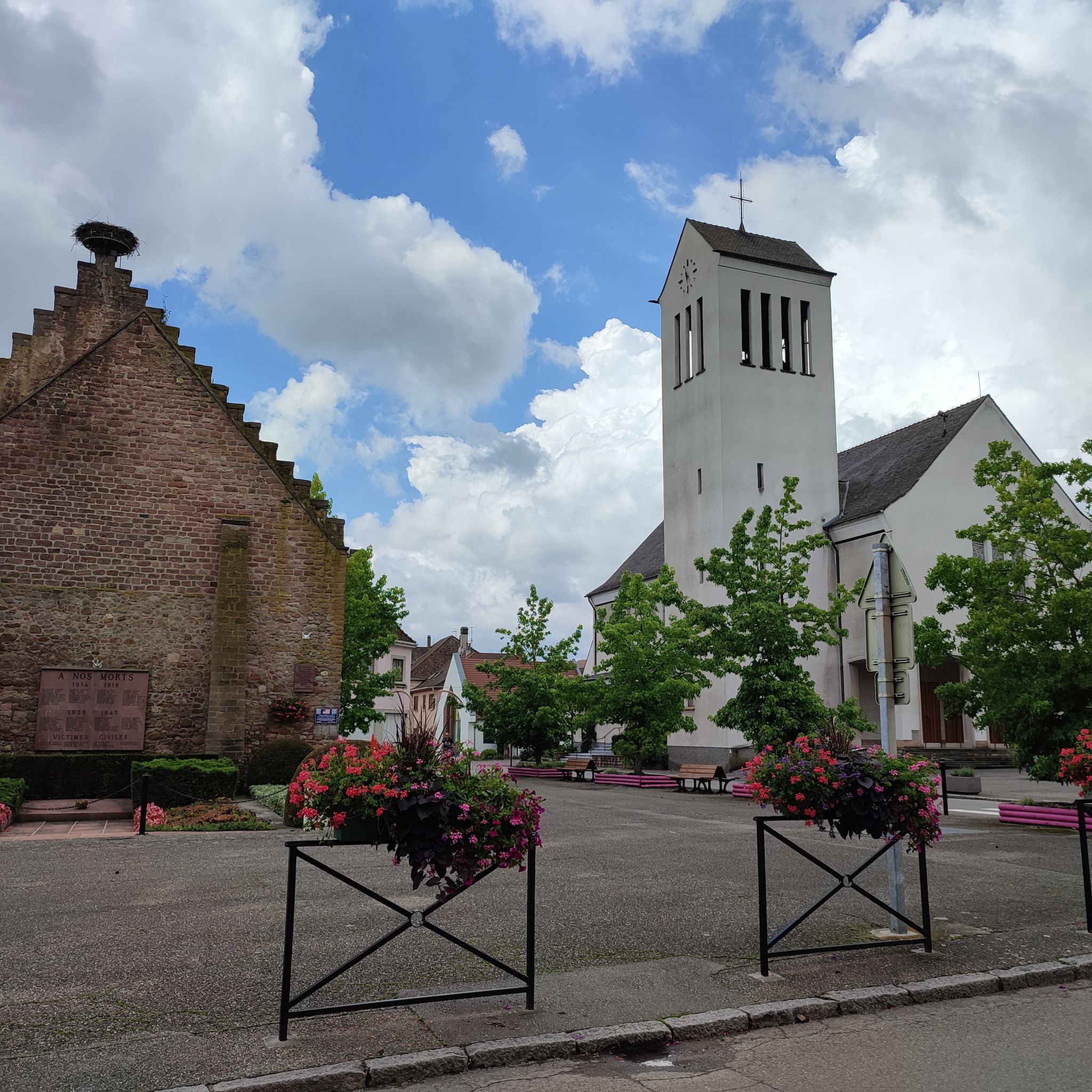
The surrounding wall still contains remains of defensive bastions. It offered the population protection in times of danger
0
0


It was tiring, but the view was great.
0
0

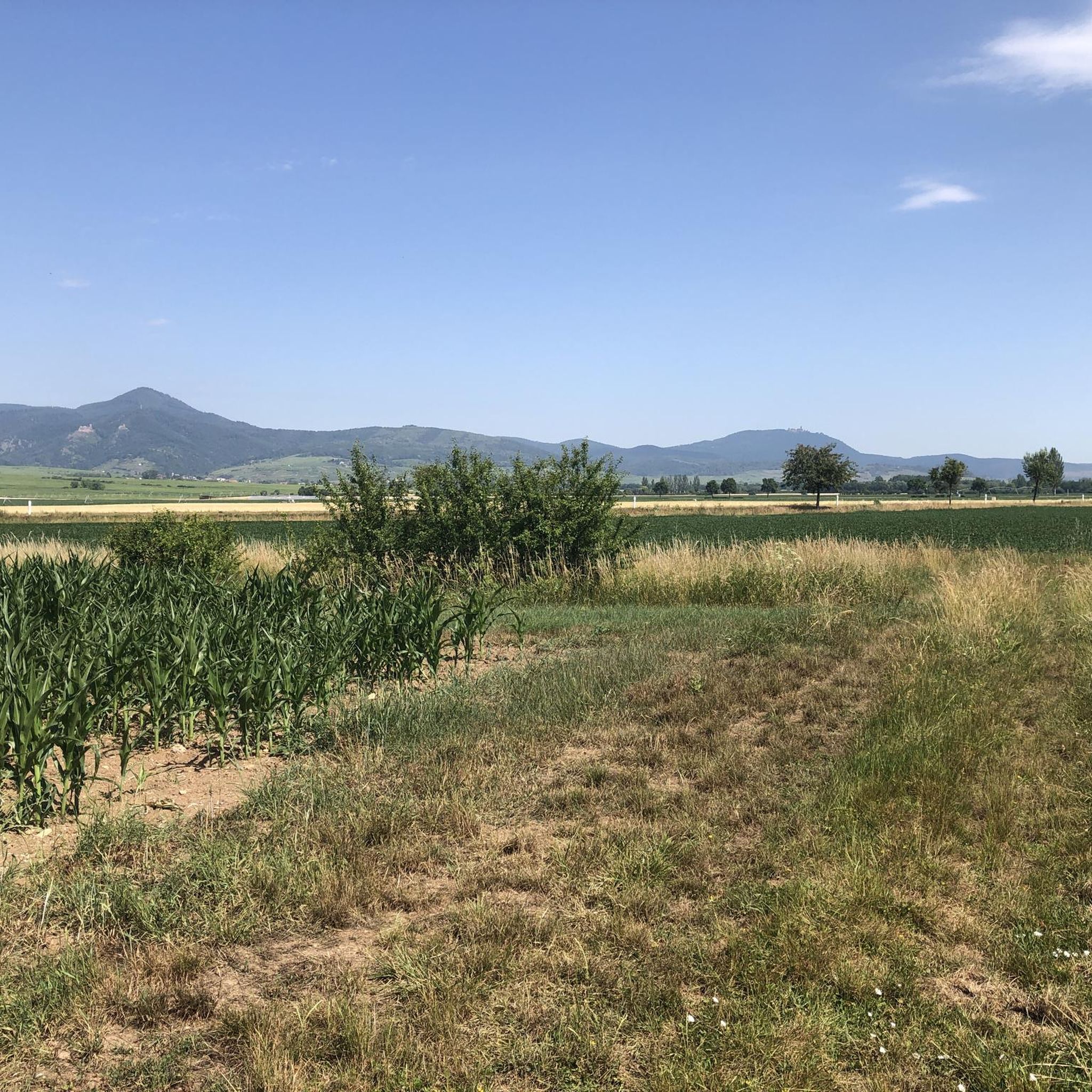
The ruins are currently being renovated, but the view is phenomenal on a clear day with good visibility. The keep is also freely accessible.
7
0
Saunt Ulric Castle is the largest of the three ruins. It is currently undergoing partial renovation. A small section is cordoned off, and caution is advised in other areas. However, the keep is accessible.
6
0
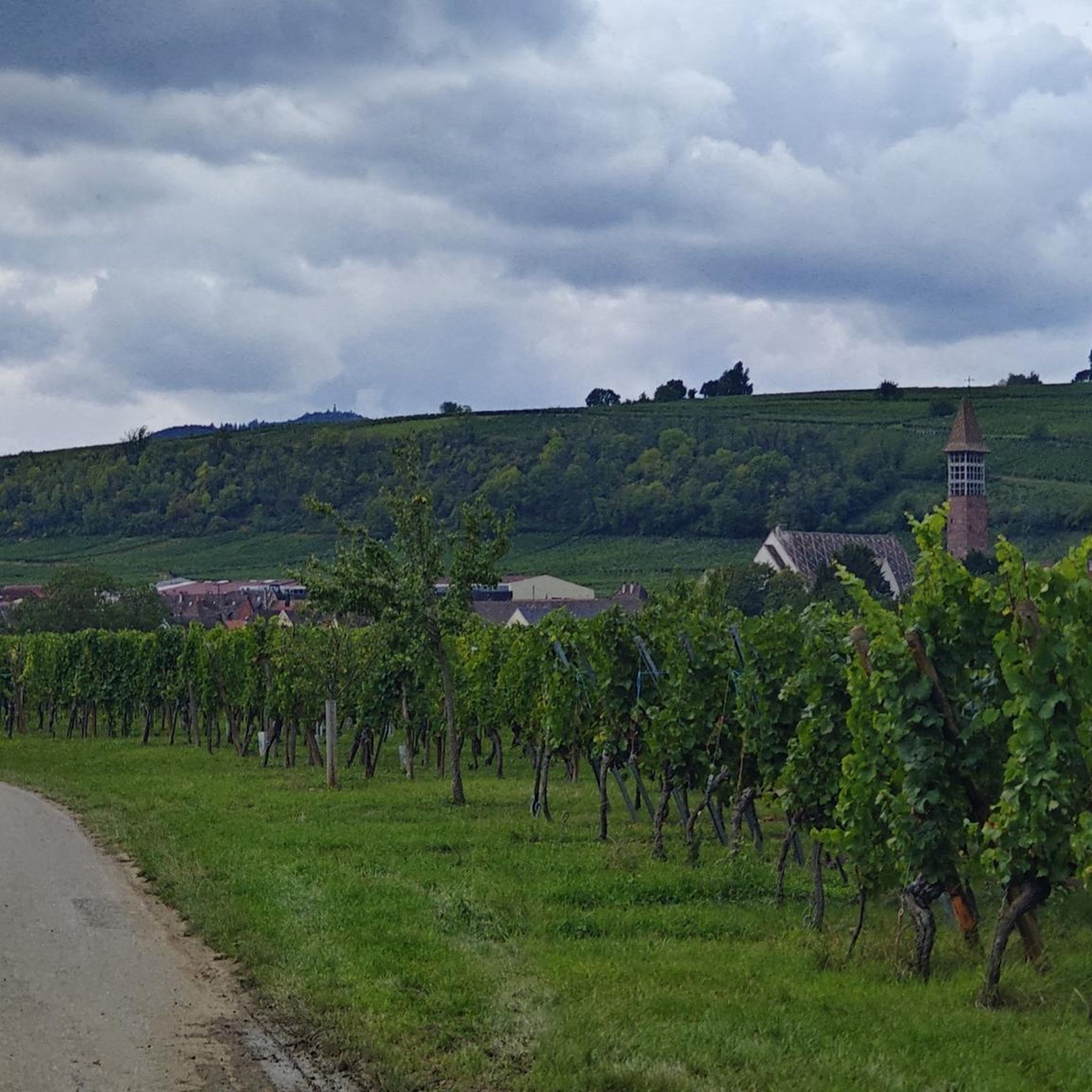
From various viewpoints in Ribeauvillé you can sometimes see all three castles together.
9
0
A charming Alsatian village with approximately 4,700 inhabitants. The old town is well worth seeing with its colorful houses. Ribeauvillé is also very popular because of the hike to its three castle ruins that overlook the town.
9
0

Most of the towers and parts of the city wall have been preserved on the side facing the Strengbach stream (in the south of the city). The Butcher's Tower stands prominently in the city center, separating the Old Town from the central part of the city.
8
0
Frequently Asked Questions
How many hiking trails are available around Ostheim?
There are over 700 hiking trails around Ostheim, offering a wide range of options for all skill levels. This includes more than 370 easy routes, over 300 moderate trails, and around 50 more challenging paths.
What makes hiking in Ostheim unique?
Hiking in Ostheim is unique due to its location within the UNESCO Biosphere Reserve Rhön, characterized by diverse ecosystems. You'll find picturesque Vorderrhön landscapes, the scenic Streutal valley, and nationally significant species-rich dry grasslands. The area also features distinctive natural monuments like the 'Double Oak' and geological formations such as basalt columns.
Are there easy hiking trails suitable for beginners or families in Ostheim?
Yes, Ostheim offers many easy and family-friendly routes. These often feature shorter distances, discovery stations, and playgrounds. The 'Franziskusweg' is a reflective circular trail of about 5 km, and the 'Rhöner BaumArt Weg' is a new family-friendly and accessible adventure trail focusing on trees and wooden artworks. For a gentle stroll, consider the Hiking loop from Mittelwihr, an easy 5.7 km route.
Can I find longer, more challenging hikes in the Ostheim area?
For those seeking longer or more challenging experiences, Ostheim has routes that traverse more undulating terrain through forests and meadows. The 'Rhön Panorama Hike' is an approximately 15-kilometer tour known for its breathtaking vantage points. An example of a moderate, longer route is the Ribeauvillé – Riquewihr loop from Beblenheim, which covers 12.3 km.
Are there circular hiking routes around Ostheim?
Yes, many of the trails around Ostheim are circular routes, perfect for exploring without retracing your steps. The 'Extratour Ostheimer' is a premium circular hiking trail praised for its varied scenery and historical heritage. Another popular option is the Superb homes – Riquewihr loop from Mittelwihr, a moderate 11.5 km loop.
What kind of natural attractions can I see while hiking in Ostheim?
While hiking, you can encounter unique natural monuments such as the 'Double Oak' on the 'Extratour Ostheimer' trail. The Weyhershauk area offers breathtaking views over the Streutal and is known for its varied biotopes. Some trails also lead to interesting geological features like basalt columns. You might also spot the Rocher de la Paix d'Udine, a notable natural monument.
Are there historical sites or cultural landmarks to explore on hikes?
Absolutely. Many trails incorporate historical sites. You can hike to Lichtenburg Castle, a 12th-century ruin with a renovated guesthouse and a tower offering excellent regional views. In the heart of Ostheim, the fortified church, a large Lutheran church surrounded by walls and towers, is also worth exploring. You may also encounter the Haut-Ribeaupierre Castle on some routes.
What do other hikers enjoy most about hiking in Ostheim?
The area is highly rated by the komoot community, with an average score of 4.5 stars from over 9,500 reviews. Hikers often praise the diverse landscapes, from the Streutal valley to species-rich dry grasslands, and the well-maintained paths that cater to various ability levels. The blend of natural beauty and historical sites is also frequently highlighted.
Are there any viewpoints or panoramic trails in Ostheim?
Yes, the region is known for its scenic vistas. The 'Rhön Panorama Hike' is specifically highlighted for its breathtaking vantage points and impressive views of the surrounding mountain ranges. The Weyhershauk area also provides stunning views over the Streutal. You can also find specific viewpoints like the Belvedere or a view of Ehrbergkopf, Stauffen, and Strumpfenkopf.
Can I find places to rest or eat along the hiking trails?
While specific cafes are not detailed for every route, the region does offer options for breaks. Some trails may pass by huts or inns. For example, you might find the Saint-Alexis Inn or a Gazebo for a rest.
What is the best time of year to go hiking in Ostheim?
Ostheim is appealing for hiking throughout much of the year. Spring and summer offer vibrant wildflowers in the dry grasslands and lush green landscapes. Autumn provides beautiful foliage and comfortable temperatures. While winter hikes are possible, conditions may vary, so it's always best to check local weather and trail conditions before heading out.
Are there themed hiking routes in the Ostheim area?
Yes, Ostheim features several themed routes that add an extra layer of interest to your hike. These include the 'Blumenweg' (Flower Path), 'Kirschweg' (Cherry Path), 'Hasenweg' (Rabbit Path), 'Tannenweg' (Fir Path), 'Fuchsweg' (Fox Path), and 'Pilzweg' (Mushroom Path), each highlighting different aspects of the local nature and environment.
Most popular attractions around Ostheim

Get inspired with the komoot mobile app


Explore more
Browse the best Hikes in other regions.
