The best running trails around Marville-Moutiers-Brûlé
4.5
(32)
1,040
runners
170
runs
Jogging around Marville-Moutiers-Brûlé offers diverse natural landscapes, prominent water features, and varied terrain. The region is characterized by significant water bodies like the Plan d'eau de Mézières-Écluzelles, marshlands, and elevated viewpoints such as the Coteau d'Écluzelles. These features provide a dynamic environment for running, ranging from flat lakeside paths to routes with elevation gain. The network of trails caters to various ability levels, ensuring suitable options for both casual joggers and more experienced runners.
Best jogging routes around Marville-Moutiers-Brûlé
- The…
Last updated: July 10, 2026
5.0
(2)
11
runners
5.23km
00:33
40m
40m
Moderate run. Good fitness required. Mostly accessible paths. Some sure footedness required.
4.7
(14)
231
runners
4.91km
00:30
10m
10m
Easy run. Great for any fitness level. Mostly paved surfaces. Suitable for all skill levels.

Sign up for free
13
runners
8.46km
00:52
20m
20m
Moderate run. Good fitness required. Mostly paved surfaces. Suitable for all skill levels.
9
runners
6.10km
00:38
30m
30m
Moderate run. Good fitness required. Mostly paved surfaces. Suitable for all skill levels.
5.0
(1)
7
runners
7.66km
00:48
10m
10m
Moderate run. Good fitness required. Mostly paved surfaces. Suitable for all skill levels.
Get access to more routes and recommendations from other explorers.
Sign up for free
Already have an account?
Our route recommendations are based on thousands of hikes, rides, and runs completed by other people on komoot.
Start today with a free account
Your next adventure awaits.
Login or Signup



Tips from the Community


Lake Mézières-Écluzelles is an artificial lake which constitutes the largest body of water in the region. It is home to a variety of wildlife, including birds. You can run around the lake on a 5 km trail, or explore the marshes on the east side. Lac de Mézières-Écluzelles is a great place to run and enjoy the natural beauty of the area.
2
0
The ideal trail to rise above the lake and admire it from above. A truly superb view.
2
0
Mézières-Écluzelles water body is an artificial lake which constitutes the largest body of water in the region. It is home to a variety of wildlife, including birds. You can circle the lake on a 5 km trail, or explore the marshes on the east side. The Mézières-Écluzelles lake is an ideal place to relax and admire the natural beauty of the region.
2
0
The ideal path to rise above the lake and admire it from above. A truly superb view.
2
0

Frequently Asked Questions
How many running routes are available in Marville-Moutiers-Brûlé?
The region of Marville-Moutiers-Brûlé offers a comprehensive network of over 170 running routes, catering to various preferences and fitness levels. These include easy paths, moderate trails, and some more challenging options.
Are there any easy or beginner-friendly running trails in the area?
Yes, Marville-Moutiers-Brûlé features several easy running paths, with 14 routes specifically categorized as easy. An excellent option is the CM departure loop from Écluzelles, an easy 3.1-mile (4.9 km) path that traverses sensitive marshlands, offering a unique and gentle running experience.
Where can I find routes with scenic views or viewpoints?
For scenic views, consider routes around the Plan d'eau de Mézières-Écluzelles, the largest lake in Eure-et-Loir. The Pond panorama loop from Écluzelles is a moderate 5.4-mile (8.7 km) trail that offers panoramic views of the surrounding area and varied terrain. The Coteau d'Écluzelles also provides elevated sections with expansive vistas.
Are there any longer distance running trails for more experienced runners?
While many routes are moderate, you can combine sections or explore longer moderate trails. For example, the Pond panorama loop from Écluzelles is a good option at 5.4 miles (8.7 km). The region's diverse network includes 139 moderate routes, allowing for extended runs by linking different paths.
What kind of terrain can I expect on the running routes?
The terrain in Marville-Moutiers-Brûlé is quite varied. You'll find flat or gently undulating paths around the Plan d'eau de Mézières-Écluzelles, softer ground through the Marais d'Écluzelles marshlands, and sections with elevation gain on the Coteau d'Écluzelles. This diversity allows for different types of training and experiences.
Are there any historical landmarks or attractions along the running routes?
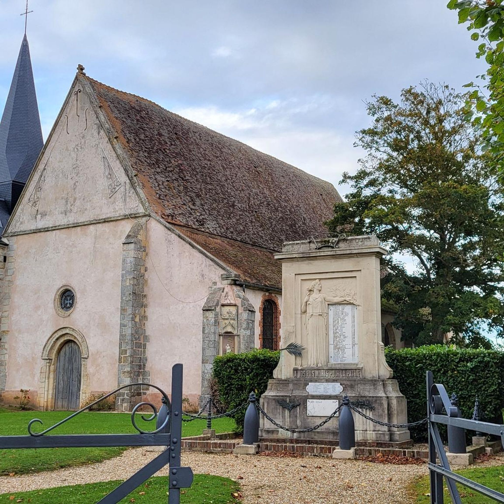
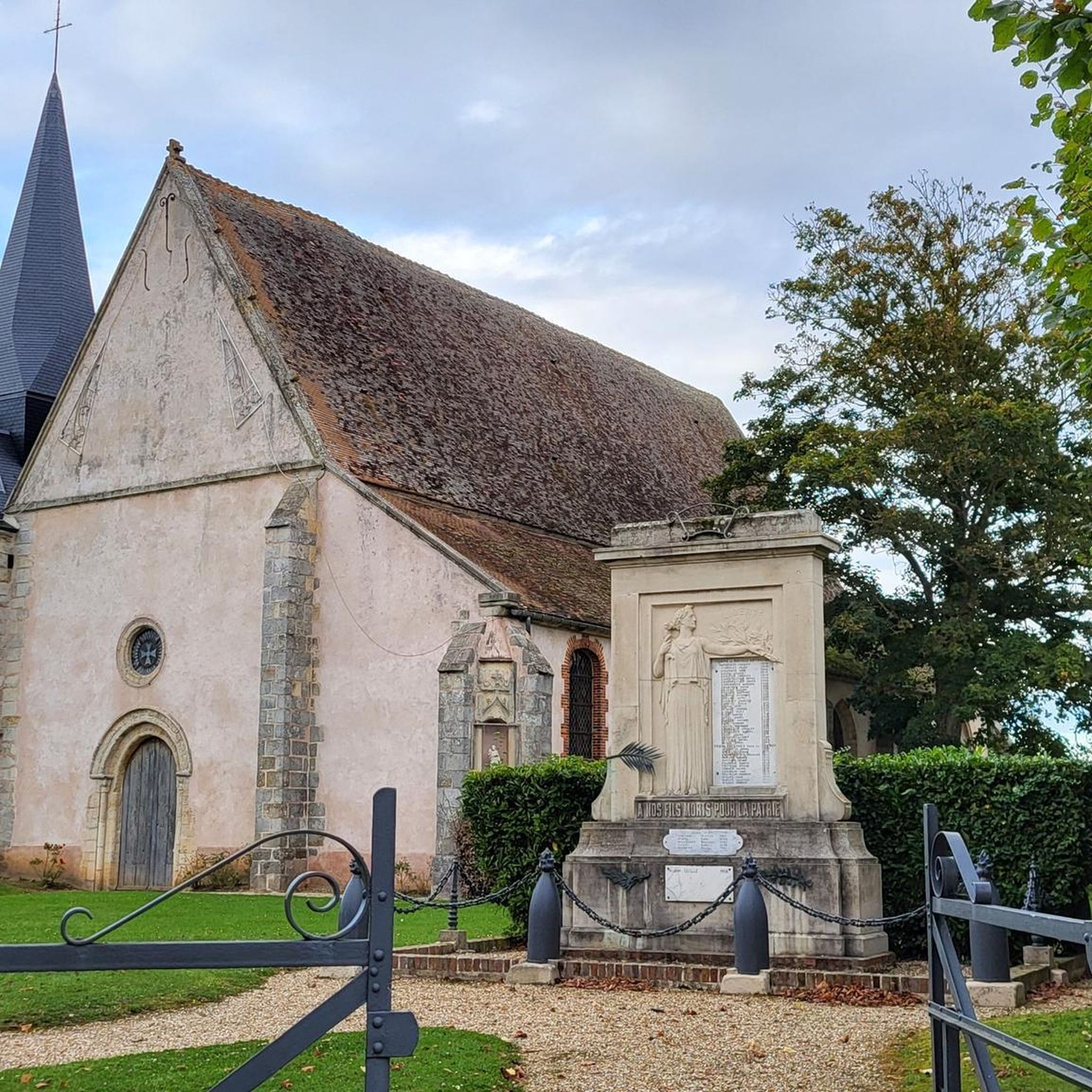
While primarily focused on natural beauty, some routes may pass near historical points. For instance, the region features the Éolienne de Vigny, a restored 1934 wind pump, and the Saint-Pierre Church, with origins dating back to the 10th century. You can also explore nearby castles like Château de Mormoulins or Nogent-le-Roi Castle, which could be incorporated into a longer exploration.
Are the running trails in Marville-Moutiers-Brûlé suitable for families?
Many of the easier and moderate routes, particularly those around the Plan d'eau de Mézières-Écluzelles, are suitable for families. These paths are generally well-maintained and offer a pleasant environment for a family run or walk. The Mézières-Écluzelles Lake Trail, a 3.3-mile (5.2 km) loop, is a great option for its accessibility and scenic views.
Is there parking available near the trailheads?
While specific parking details for every trailhead are not provided, popular areas like the Plan d'eau de Mézières-Écluzelles typically have designated parking facilities to accommodate visitors. It's advisable to check local signage or online maps for specific parking locations before your visit.
What do other runners think about the trails in Marville-Moutiers-Brûlé?
The running routes in Marville-Moutiers-Brûlé are highly regarded by the komoot community, holding an impressive average rating of 4.6 stars from over 20 reviews. More than 900 runners have explored the area, often praising the diverse natural landscapes and well-maintained paths.
Are there any challenging running routes with significant elevation gain?
For runners seeking more challenging terrain, the Coteau d'Écluzelles offers sections with noticeable elevation gain, providing opportunities for incline training and rewarding panoramic views. While most routes are moderate, there are 20 routes categorized as difficult for those looking for a tougher workout.
Can I find circular running routes in Marville-Moutiers-Brûlé?
Yes, many of the popular running paths in the region are circular, allowing you to start and finish at the same point. Examples include the Mézières-Écluzelles Lake Trail and the CM departure loop from Écluzelles, both offering convenient loop options.
Are the running trails accessible by public transport?
While Marville-Moutiers-Brûlé is a rural area, public transport options might be limited directly to all trailheads. It's recommended to check local bus schedules or regional transport services for connections to the main villages or popular starting points like Écluzelles, which may require a short walk to reach the trails.
Most popular routes around Marville-Moutiers-Brûlé
Most popular attractions around Marville-Moutiers-Brûlé

Get inspired with the komoot mobile app


Explore more
Browse the best Running Trails & Routes in other regions.
