The best walks and hikes around Bouc-Bel-Air
4.5
(1132)
8,377
hikers
16
hikes
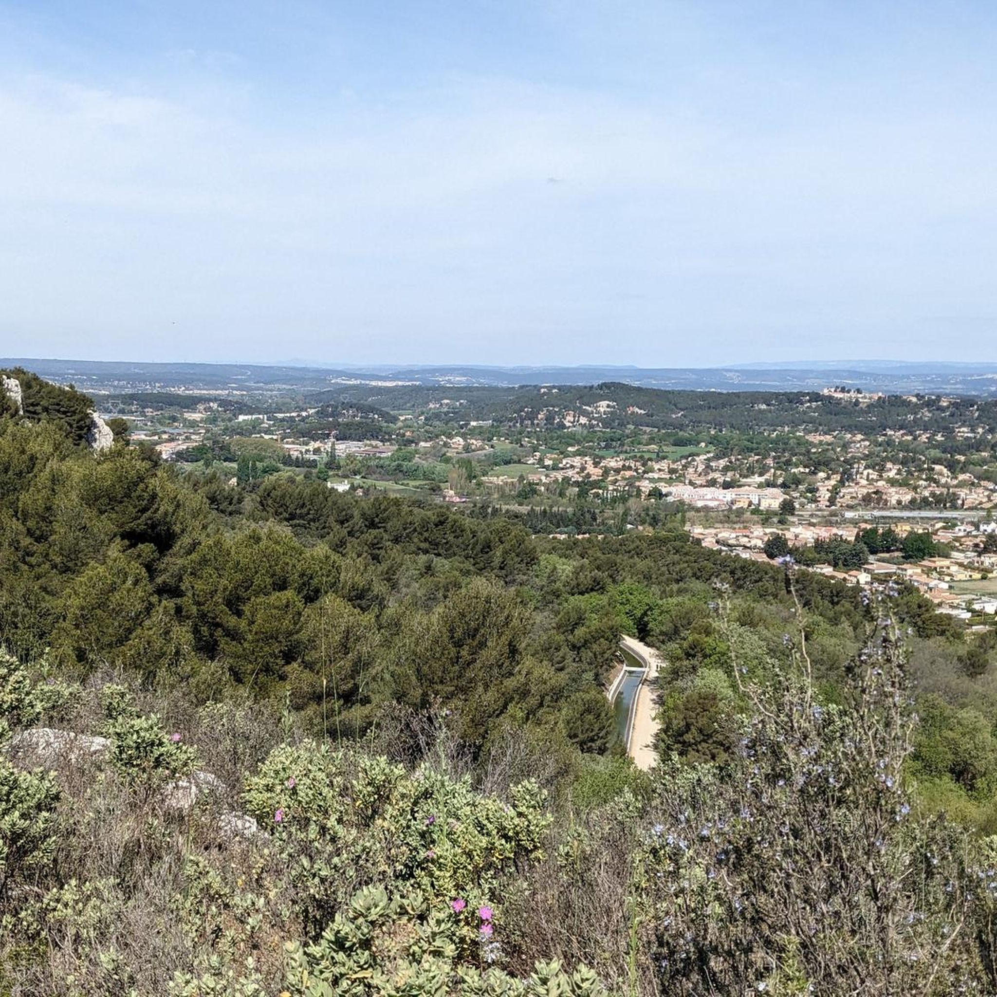
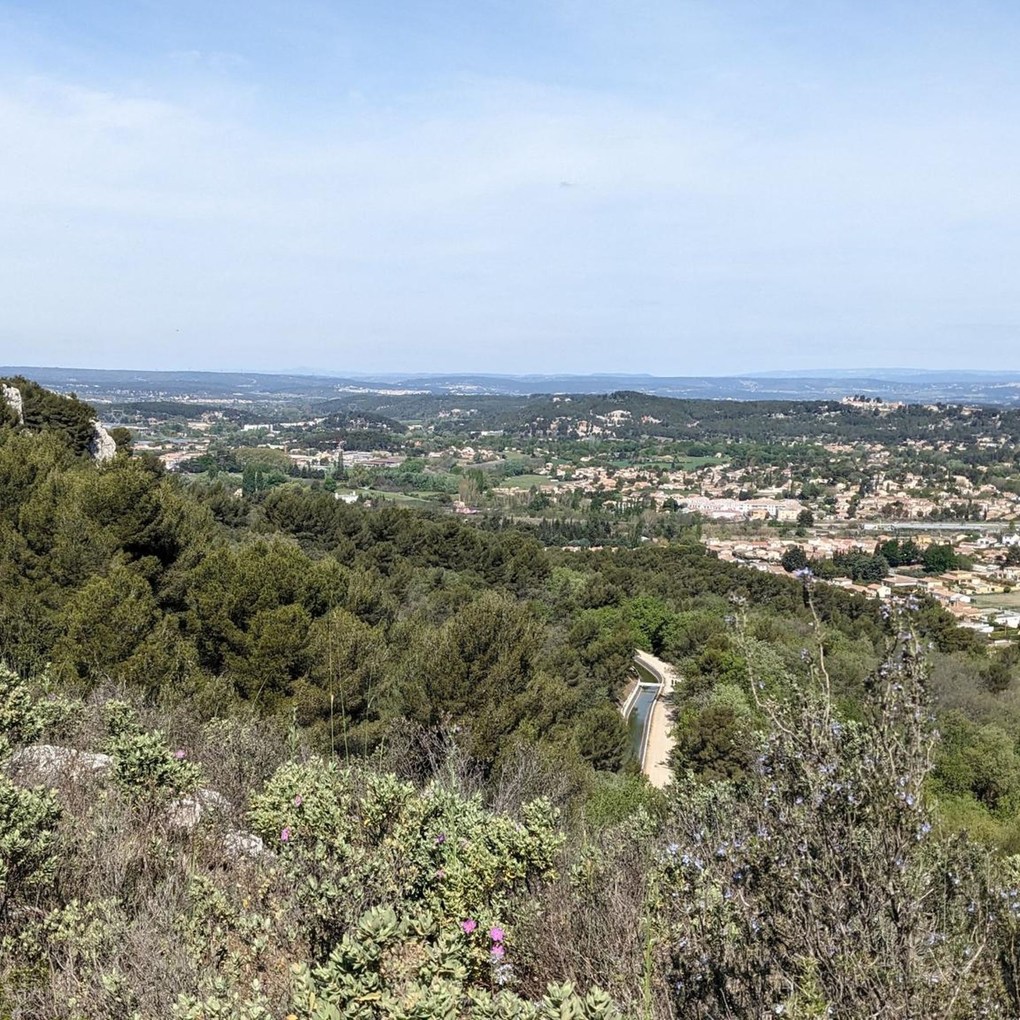
Hiking around Bouc-Bel-Air offers diverse landscapes for outdoor activities. The region features varied terrain, from communal woods and forest paths to more challenging routes with elevation changes. Hikers can explore the Valabre Forest, vallons, and ridgelines, with access to the Massif de l'Étoile. Many trails provide panoramic views of landmarks such as Sainte-Victoire mountain, Aix-en-Provence, and the Étang de Berre.
Best hiking trails around Bouc-Bel-Air
- The most popular hiking route is Montaiguet Climb loop from Valabre, a 5.6 miles…
Last updated: October 12, 2026
4.4
(8)
29
hikers
4.42km
01:09
30m
30m
Easy hike. Great for any fitness level. Easily-accessible paths. Suitable for all skill levels.
4.5
(2)
12
hikers
Moderate hike. Good fitness required. Easily-accessible paths. Suitable for all skill levels.

4.7
(3)
10
hikers
8.06km
02:14
140m
150m
Moderate hike. Good fitness required. Easily-accessible paths. Suitable for all skill levels.
4.8
(5)
60
hikers
8.63km
02:24
160m
160m
Moderate hike. Good fitness required. Easily-accessible paths. Suitable for all skill levels.
4.0
(1)
17
hikers
5.81km
01:37
110m
110m
Easy hike. Great for any fitness level. Easily-accessible paths. Suitable for all skill levels.
Get access to more routes and recommendations from other explorers.
Already have an account?
Our route recommendations are based on thousands of hikes, rides, and runs completed by other people on komoot.
Start today with a free account
Your next adventure awaits.

Tips from the Community


Ruins of the old castle of Bouc Bel-Air
0
0

Beautiful coast through the pines (8.5% average slope) panoramic and winding that leads to Bouc-Bel-Air.
3
1
Beautiful little steep and winding panoramic coast
2
1
Frequently Asked Questions
How many hiking trails are available in Bouc-Bel-Air?
Bouc-Bel-Air offers an extensive network of hiking trails, with over 370 routes available. These range from easy strolls to more challenging expeditions, catering to various fitness levels.
What kind of terrain can I expect on hikes around Bouc-Bel-Air?
You can expect a diverse range of terrain, from easily accessible forest paths and communal woods to more challenging routes with significant elevation changes. Trails often alternate between tranquil vallons (small valleys) and airy ridgelines, providing varied landscapes and experiences.
Are there any easy hiking options suitable for beginners or families?
Yes, Bouc-Bel-Air has many easy hiking options. For instance, the Equestrian Stable loop from Cabriès is an easy 4.6 km trail through communal woods, typically completed in just over an hour. There are over 150 easy routes in the area, perfect for a relaxed outing.
What are the best viewpoints or landmarks to see while hiking in Bouc-Bel-Air?
Many trails offer exceptional panoramic views. From various vantage points, you can see iconic landmarks such as Sainte-Victoire mountain, the city of Aix-en-Provence, and the Étang de Berre. The Pilon du Roi is a notable monolith offering splendid views of Marseille, while the View of Montagne Sainte-Victoire and Gardanne from Montaiguet Summit provides another stunning vista.
Are there any circular hiking routes in the area?
Yes, many of the hiking routes in Bouc-Bel-Air are circular, allowing you to start and end at the same point. Examples include the popular Montaiguet Climb loop from Valabre and the more challenging PC 685 Pylones – Our Lady of Rot loop from Simiane.
How long do hikes typically take in Bouc-Bel-Air?
Hike durations vary significantly depending on the route's length and difficulty. You can find short strolls lasting just over an hour, like the Equestrian Stable loop from Cabriès (1 hour 12 minutes), to longer, more strenuous hikes that can take several hours, such as the PC 685 Pylones – Our Lady of Rot loop from Simiane (over 6 hours).
What is the best time of year to go hiking in Bouc-Bel-Air?
Bouc-Bel-Air is suitable for hiking throughout much of the year. Spring and autumn offer pleasant temperatures and vibrant scenery. Even in winter, many trails are accessible, though it's always wise to check local conditions. Summers can be hot, so early morning or late afternoon hikes are recommended during this season.
Is public transport available to reach trailheads in Bouc-Bel-Air?
While Bouc-Bel-Air is well-connected by road, specific public transport access directly to all trailheads can be limited. It's advisable to check local bus schedules for routes serving the general area and plan for potential short walks or car access to reach the starting points of your chosen hikes.
What do other hikers say about the trails in Bouc-Bel-Air?
The hiking trails in Bouc-Bel-Air are highly rated by the komoot community, with an average score of 4.5 stars from over 1100 reviews. Hikers often praise the varied terrain, the well-maintained paths, and the stunning panoramic views of the Provençal landscape.
Are there any challenging routes for experienced hikers?
Yes, for experienced hikers seeking a challenge, Bouc-Bel-Air offers several difficult routes. The PC 685 Pylones – Our Lady of Rot loop from Simiane is a difficult 20.4 km path requiring good fitness, featuring significant elevation changes and expansive views. There are over 50 difficult routes in the region.
Are there any natural monuments or unique geological features to explore?
Absolutely. Beyond the panoramic views, you can explore unique natural features such as the Infernet spring and the Le Petit Colorado, known for its distinctive red earth formations. The region's varied geology adds another layer of interest to your hikes.
Where can I find parking when hiking in Bouc-Bel-Air?
Many popular trailheads and starting points for hikes in Bouc-Bel-Air, especially those near villages or natural parks, typically offer designated parking areas. It's recommended to check the specific route details on komoot for information on parking availability near your chosen starting point.
Most popular routes around Bouc-Bel-Air
Most popular attractions around Bouc-Bel-Air

Get inspired with the komoot mobile app


Explore more
Browse the best Hikes in other regions.
