The best road cycling routes around Lachau
4.8
(89)
2,634
riders
42
rides
Road cycling routes around Lachau traverse a landscape characterized by rolling hills, mountain passes, and open plateaus. The region features varied terrain, including ascents to cols and descents through valleys. Road cyclists can expect routes that navigate through rural areas, offering views of the surrounding natural environment. The elevation changes provide opportunities for sustained climbing and fast descents.
Best road cycling routes around Lachau
- The most popular road cycling route is Saint-Jean Pass – Orpierre loop from Eygalayes, a…
Last updated: July 2, 2026
5.0
(5)
307
riders
117km
06:02
2,100m
2,100m
Hard road ride. Very good fitness required. Mostly well-paved surfaces and easy to ride.
4.6
(5)
126
riders
60.3km
03:09
1,090m
1,090m
Hard road ride. Very good fitness required. Mostly well-paved surfaces and easy to ride.

Sign up for free
53
riders
105km
05:47
2,170m
2,170m
Hard road ride. Very good fitness required. Some segments of this route may be unpaved and difficult to ride.
4.9
(9)
78
riders
54.6km
02:26
550m
550m
Moderate road ride. Good fitness required. Some segments of this route may be unpaved and difficult to ride.
4.4
(5)
19
riders
19.0km
00:54
240m
240m
Easy road ride. Great for any fitness level. Mostly well-paved surfaces and easy to ride.
Get access to more routes and recommendations from other explorers.
Sign up for free
Already have an account?
Our route recommendations are based on thousands of hikes, rides, and runs completed by other people on komoot.
Start today with a free account
Your next adventure awaits.
Login or Signup
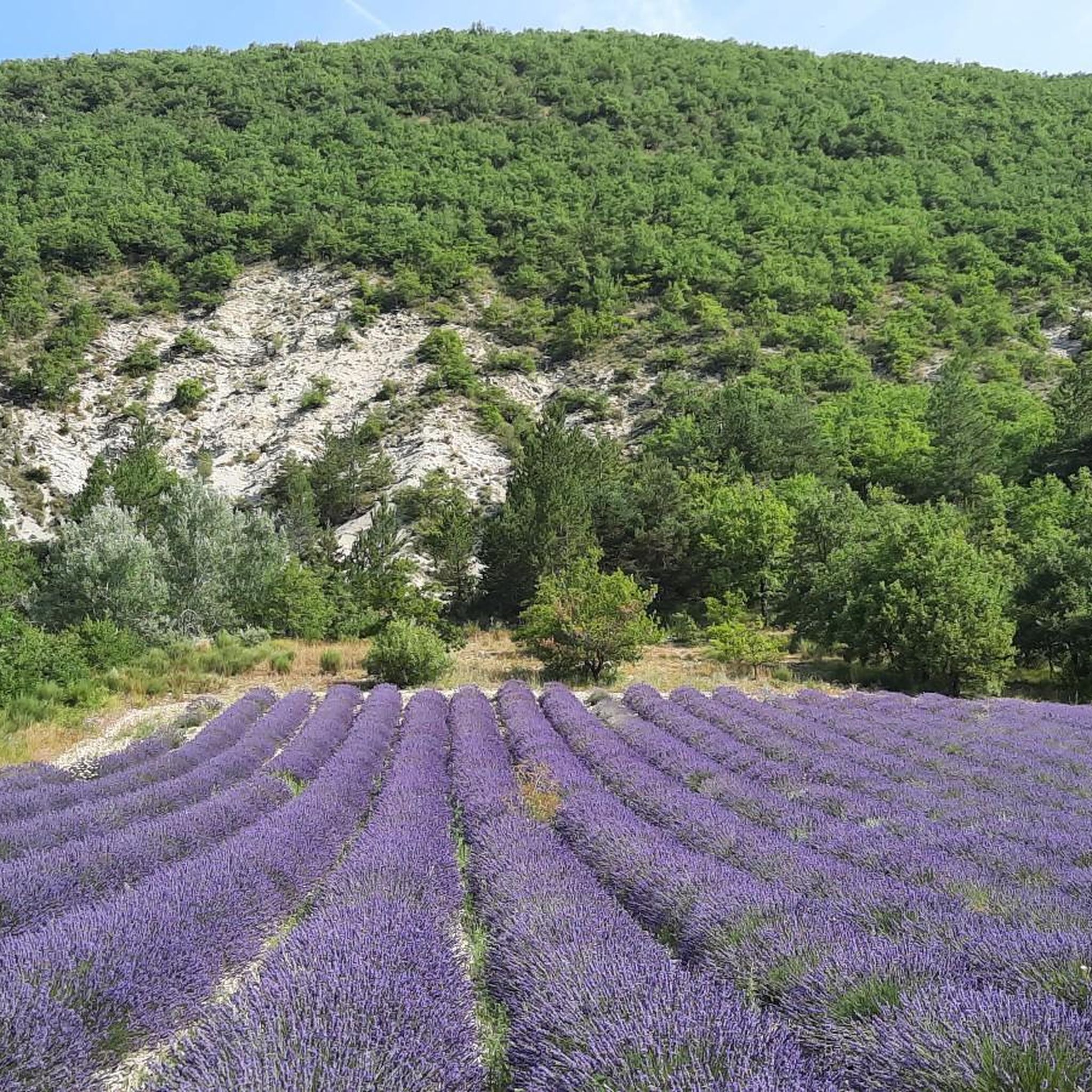
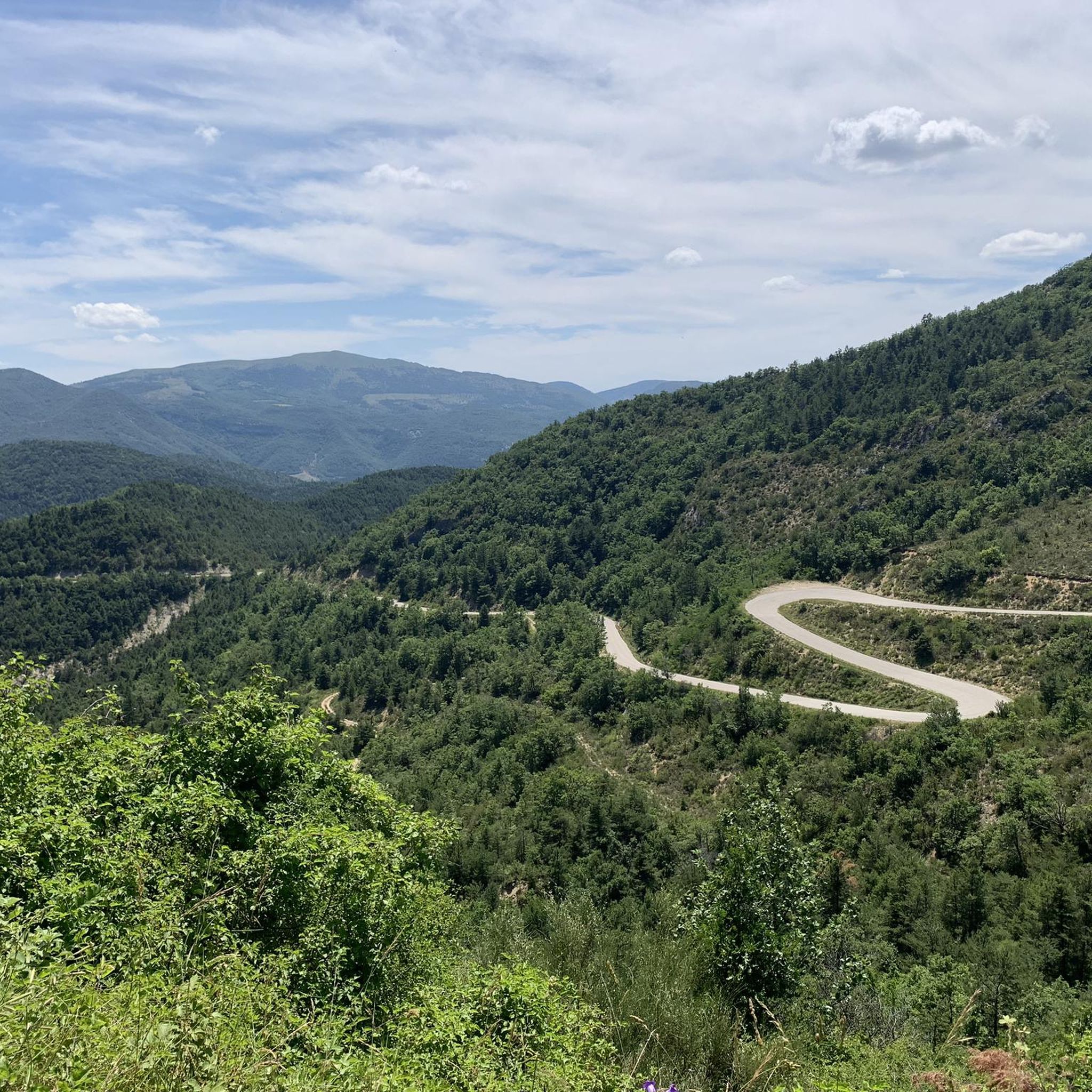
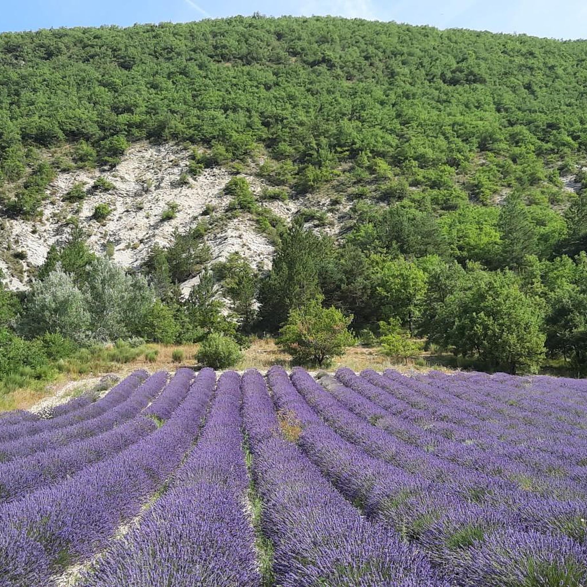
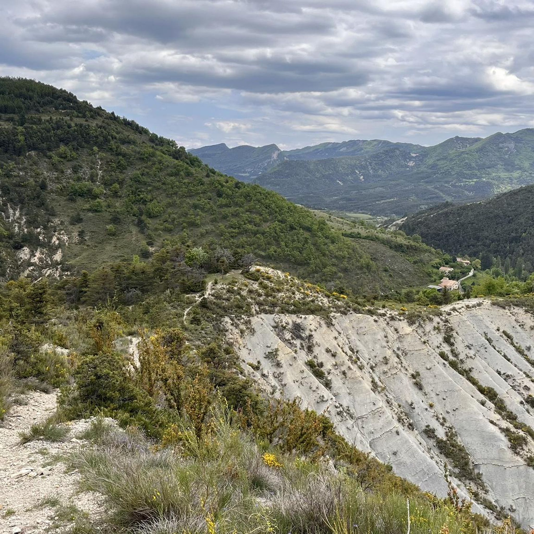
Tips from the Community

For cyclists it's a climb: * Length: approx. 7 km * Elevation gain: approx. 320 m * Average gradient: 4.6% * Maximum gradient: approx. 5%
5
0
This is truly a spectacular spot.
5
0
The Col de Soubeyrand (987–994 m, depending on the map source) is located in the Drôme department, in the Auvergne-Rhône-Alpes region, within the Baronnies provençales massif. It connects the Eygues valley with the Ennuye valley, between the villages of Rémuzat and Sainte-Jalle.
7
0
The Col de Peyruergue (794 m) is a pass located in the Drôme department, within the Parc naturel régional des Baronnies provençales. It connects the Ennuye valley with that of the Ouvèze, near Saint-Sauveur-Gouvernet.
6
0
This area is rich in beautiful orchards.
4
0
Spot for taking unforgettable photos.
7
0
Secondary road with excellent asphalt.
8
0
The Méouge gorges are a spectacular natural canyon located between the departments of Hautes-Alpes and Drôme, in the southeast of France. They are renowned for their turquoise waters, limestone cliffs, and numerous natural pools where you can swim in the summer.
10
0
Frequently Asked Questions
How many road cycling routes are available around Lachau?
There are over 35 road cycling routes around Lachau, offering a wide range of options for different skill levels. The region is known for its varied terrain, including mountain passes and open plateaus.
What kind of terrain can I expect on road cycling routes in Lachau?
Road cycling routes around Lachau feature a diverse landscape of rolling hills, challenging mountain passes, and expansive open plateaus. You'll encounter significant elevation changes, providing opportunities for both sustained climbing and fast descents through rural areas.
Are there road cycling routes suitable for beginners in Lachau?
Yes, Lachau offers several routes suitable for beginners. There are 6 easy routes and 11 moderate routes. A good option for those looking for a moderate challenge is the Col d'Araud loop from Lachau, which covers 23.6 km with manageable elevation.
Where can I find challenging road cycling routes with significant climbs?
Lachau is well-suited for experienced road cyclists seeking challenging climbs. There are 22 difficult routes. For a demanding ride, consider the Montagne de Lure Pass – Le Rocher d'Ongles loop from Montfroc, which is 117.5 km long and features over 2,100 meters of elevation gain. Another challenging option is the Peyruergue Pass – Col de Soubeyrand (994 m) loop from Lachau.
What are some scenic viewpoints or attractions along the road cycling routes?
Many routes offer scenic views, especially as you traverse mountain passes and open plateaus. You can find stunning vistas at passes like Macuègne Pass, Perty Pass, and Saint-Jean Pass. The Gorges de la Méouge also offers dramatic natural scenery.
Are there any loop trails for road cycling in Lachau?
Yes, many of the road cycling routes around Lachau are designed as loops, allowing you to start and finish at the same point. For example, the popular Saint-Jean Pass – Orpierre loop from Eygalayes is a 63.2 km loop, and the Col de l'Homme Mort – Plateau de Sault lookout loop from Montfroc is another excellent circular option.
What is the best time of year for road cycling in Lachau?
The best time for road cycling in Lachau is typically from spring through autumn, when the weather is mild and the mountain passes are clear of snow. Summer offers warm conditions, while spring and autumn provide cooler temperatures and vibrant landscapes. Winter cycling can be challenging due to snow and ice at higher elevations.
What do other road cyclists say about the routes in Lachau?
The road cycling routes in Lachau are highly rated by the komoot community, with an average score of 4.7 stars from over 80 reviews. Cyclists often praise the varied terrain, the challenging climbs, and the scenic views of the surrounding natural environment.
Are there routes that pass through towns or villages where I can find cafes or rest stops?
Many routes will take you through or near small villages and towns where you can find opportunities for cafe stops and refreshments. For instance, the Saint-Jean Pass – Orpierre loop from Eygalayes passes by Orpierre, a settlement that can serve as a convenient stop.
Is public transport an option for accessing road cycling routes in Lachau?
Accessing specific trailheads directly by public transport can be limited in this rural region. It's advisable to check local bus schedules for connections to larger towns, but for ultimate flexibility, driving to a starting point is often the most practical option.
Where can I park my car when starting a road cycling route in Lachau?
Parking is generally available in the villages and towns that serve as common starting points for routes, such as Lachau itself, Eygalayes, or Montfroc. Look for designated public parking areas, especially near village centers or trail information points.
Are there any specific mountain passes that are popular among road cyclists in Lachau?
Yes, Lachau is known for its mountain passes. Popular climbs include Macuègne Pass, Perty Pass, and Saint-Jean Pass. These passes offer both challenging ascents and rewarding views.
Most popular attractions around Lachau

Get inspired with the komoot mobile app


Explore more
Browse the best Road cycling routes in other regions.
