The 7 Most Amazing Peaks around Châteauneuf-Le-Rouge
Mountain peaks around Châteauneuf-Le-Rouge are primarily found within the Montagne Sainte-Victoire massif, an iconic natural landmark in Provence, France. This mountain stretches over 18 kilometers and is approximately 5 km wide, known for its association with the painter Paul Cézanne. The area features a diverse ecosystem, with Mediterranean flora on its southern slope and more alpine characteristics on the northern side. This ecological diversity supports a rich flora, with 900 flowering plant species.
Best mountain peaks around Châteauneuf-Le-Rouge
- The most…
Last updated: June 29, 2026
Croix de Provence
Highlight • Summit
Translated by Google •
Tip by

Pic des Mouches
Highlight • Summit
Translated by Google •
Tip by

Sign up now to discover places like this
Get recommendations on the best single tracks, peaks, & plenty of other exciting outdoor places.
Sign up for free
Tête du Grand Puech
Highlight • Summit
Translated by Google •
Tip by

View of Mont Sainte-Victoire
Highlight • Summit
Translated by Google •
Tip by

Pas du Tonne (Alt 773 m) – Difficult Trail
Highlight • Trail
Translated by Google •
Tip by

Sign up for free to discover even more peaks around Châteauneuf-Le-Rouge.
Sign up for free
Already have an account?
Start today with a free account
Your next adventure awaits.
Login or Signup
Popular around Châteauneuf-Le-Rouge
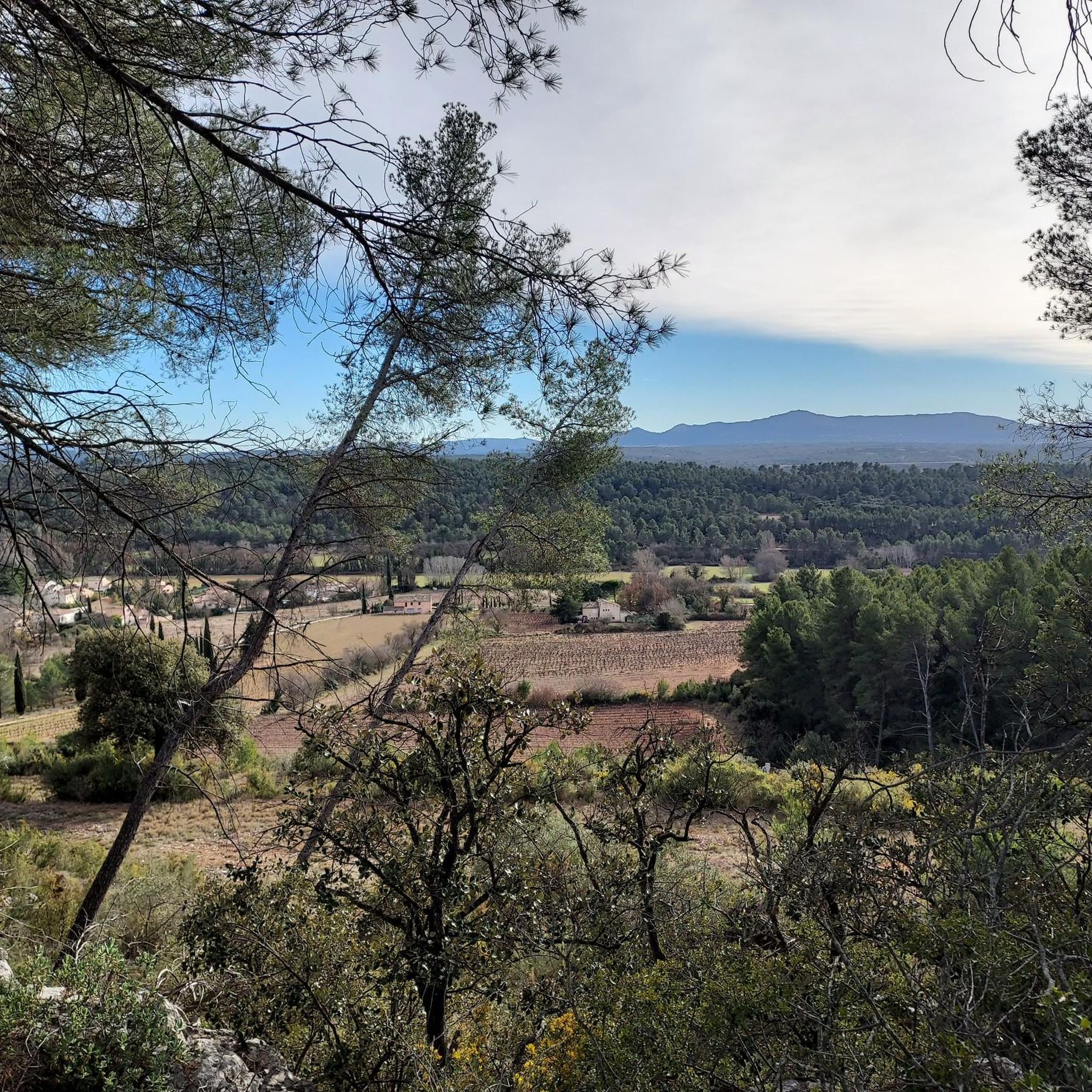
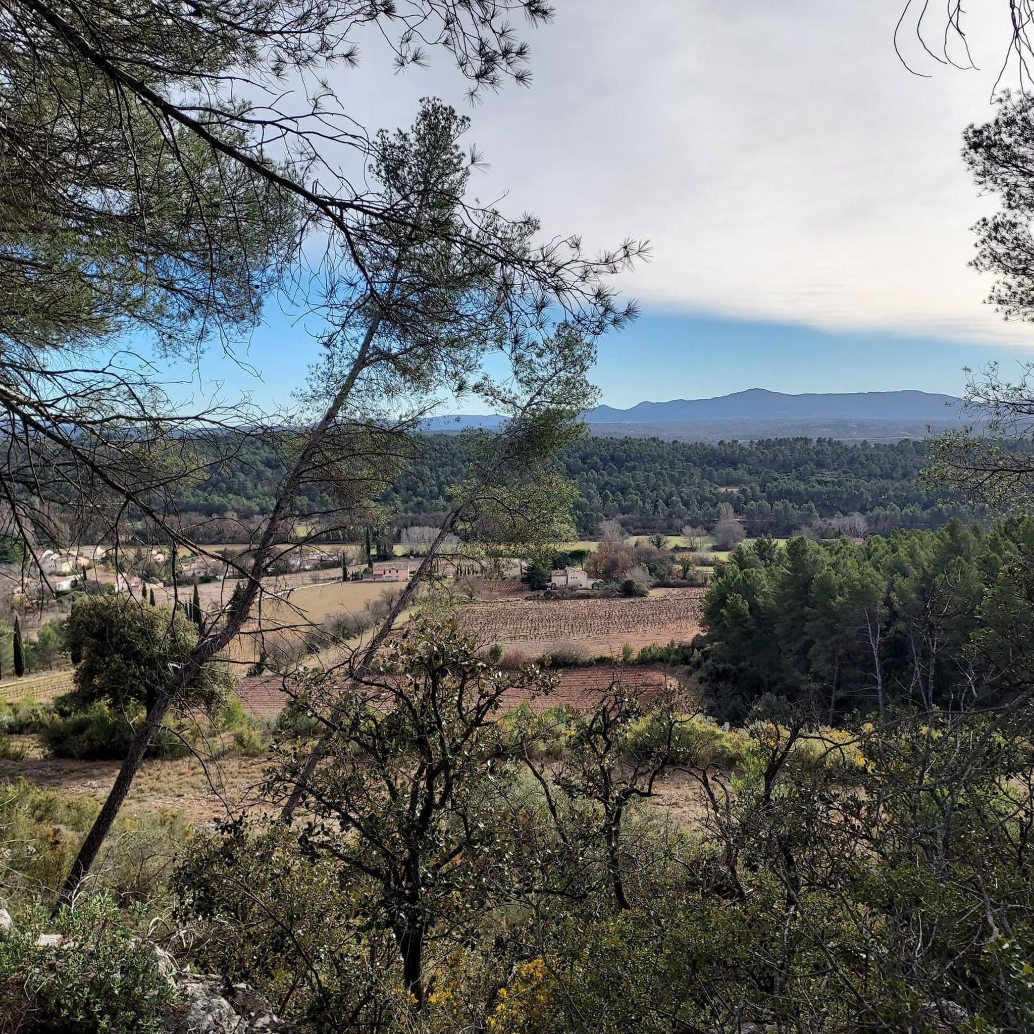
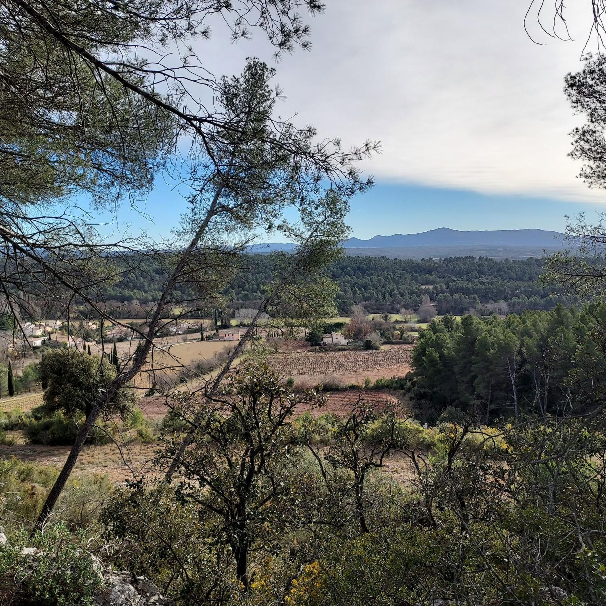
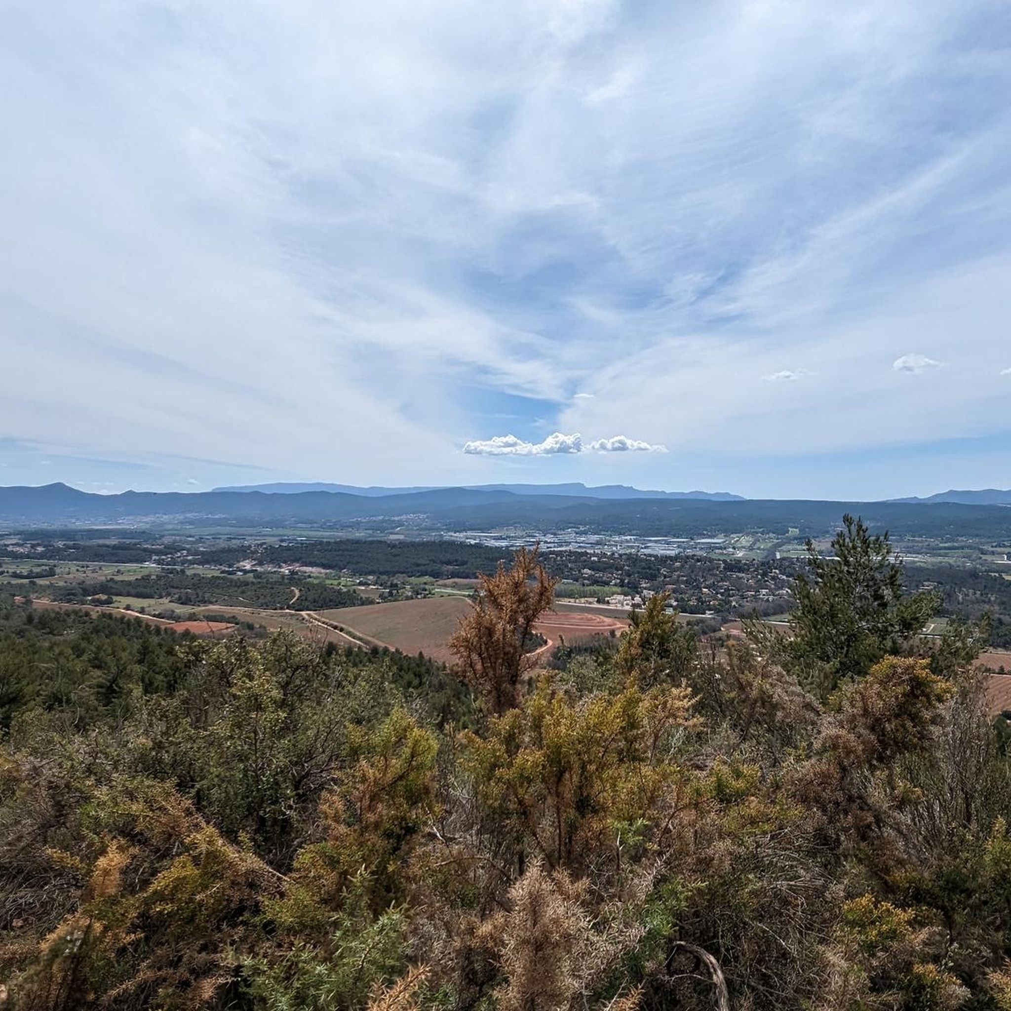

Tips from the Community

A pass not so hard, just require some climbing basics.
0
0
A summit with very few peoples on it compared to the croix de Provence. Can be accessed by the crest, much harder and longuer than the Imoucha path.
1
0

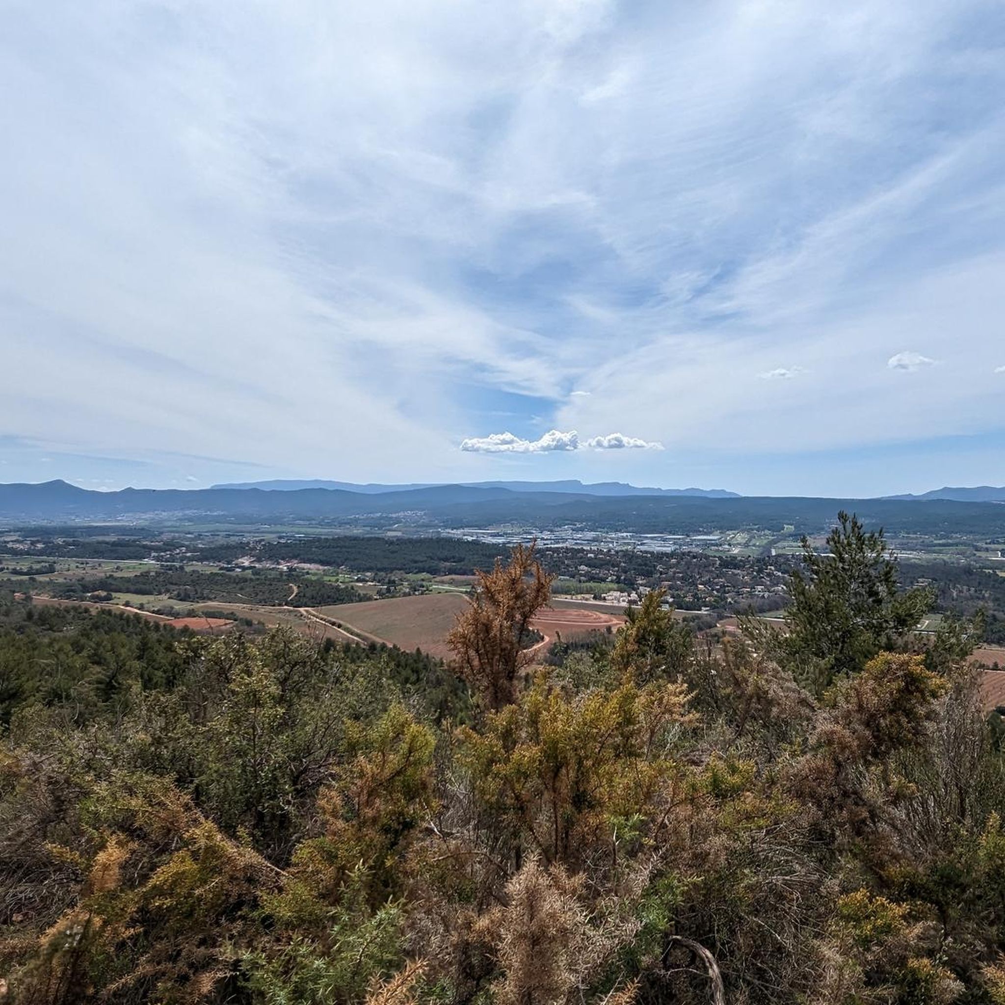
Not the most beautiful place on Sainte-Victoire in itself, but what an extraordinary view 🔥 Sainte-Baume and the mountains of Marseille to the South, the Bessillons and the Alps behind the Verdon to the East, the Montagne de Lure, the Écrins, the Ventoux...
1
0

The trails are much simpler starting from the D10 rather than Puyloubier. Many families with children can easily climb them.
1
0

Dangerous ascent and daring descent. Bring good hiking shoes and perhaps something to rappel into...
1
0

superb hike, to do in the morning. be well-shod because there are many rocks to cross. Take plenty of water. superb priory below the cross.
1
0

Panoramic view of the entire valley: Marseille, Aix en Provence, Sainte-Victoire, Sainte Baume,...
0
0

forcioli trail (green and black markings) -> climbing path uphill, very steep downhill
0
0
Frequently Asked Questions
What are the highest mountain peaks in the Montagne Sainte-Victoire massif near Châteauneuf-Le-Rouge?
The highest point in the Montagne Sainte-Victoire massif is Pic des Mouches, reaching an altitude of 1,011 meters. Another significant peak is Croix de Provence, located at 946 meters, offering spectacular panoramic views. The Tête du Grand Puech, at 779 meters, is also a prominent summit in the region.
Are there family-friendly hiking options among the mountain peaks near Châteauneuf-Le-Rouge?
Yes, some routes are suitable for families. For instance, the hike to the View of Mont Sainte-Victoire is considered very nice and easy for the whole family. While some trails to higher peaks can be challenging, there are options with varying difficulty levels, including those starting from the D10 road towards Pic des Mouches that many families find manageable.
What kind of views can I expect from the mountain peaks in this region?
The mountain peaks offer breathtaking panoramic views of the Provençal landscape. From Croix de Provence, you can see the Sainte-Baume, Luberon, and Étoile ranges, as well as the Durance valley and the Provençal Alps. The Tête du Grand Puech also provides a magnificent 360° view, including Marseille on a clear day.
What are the typical terrain conditions for hiking the mountain peaks around Châteauneuf-Le-Rouge?
The terrain is often stony and rocky, especially on routes leading to peaks like Croix de Provence. Good hiking boots are highly recommended. Some sections, particularly the last few meters to certain summits, can be difficult or even require scrambling, as noted for the Croix de Provence.
What historical or cultural landmarks can be found on Montagne Sainte-Victoire?
Montagne Sainte-Victoire holds significant historical and cultural importance. The Sainte-Victoire Priory, located at 888 meters near the summit, has a long history potentially dating back to the 5th century and has been a site of local pilgrimage. Additionally, the Tête du Grand Puech bears traces of human occupation from prehistoric times.
What outdoor activities are available near the mountain peaks around Châteauneuf-Le-Rouge?
The area is excellent for various outdoor activities. You can find numerous hiking routes, from moderate to difficult, including loops from Saint-Antonin-sur-Bayon or Saint-Marc-Jaumegarde. Mountain biking is also popular. For more detailed routes, explore the Hiking around Châteauneuf-Le-Rouge guide or the MTB Trails around Châteauneuf-Le-Rouge guide.
Are there challenging trails for experienced hikers in the Montagne Sainte-Victoire massif?
Yes, there are several challenging trails. The route to Croix de Provence, especially the Sentier Jaune, can be very difficult and alpine in sections, requiring good fitness and experience. The Pas du Tonne is also noted as a difficult trail. For mountaineering-specific routes, consult the Mountain Hikes around Châteauneuf-Le-Rouge guide.
What is the best time of year to visit the mountain peaks near Châteauneuf-Le-Rouge?
While specific seasonal advice isn't provided, the diverse ecosystem with Mediterranean flora suggests pleasant conditions in spring and autumn. Summers can be hot, making early morning or late afternoon hikes preferable. Always check local weather conditions before heading out, especially for higher elevations.
What natural features contribute to the biodiversity of Montagne Sainte-Victoire?
The Montagne Sainte-Victoire massif boasts a rich biodiversity due to its unique east-west orientation. This results in significant differences in sun exposure, with Mediterranean flora thriving on the southern slope and more alpine characteristics on the northern side. This ecological diversity supports an exceptional flora, including 900 flowering plant species, representing 20% of France's total flora. The Gouffre du Garagaï is another notable natural feature.
What do visitors enjoy most about the mountain peaks around Châteauneuf-Le-Rouge?
Visitors frequently praise the stunning panoramic views, especially from spots like Croix de Provence and Pic des Mouches. The challenging yet rewarding hiking experiences, the diverse natural beauty, and the sense of accomplishment from reaching the summits are also highly valued. The area is appreciated by the komoot community, with many shared photos and upvotes.
Are there loop trails available for hiking around the mountain peaks?
Yes, there are several loop trails. Examples include the 'Plateau du Cengle – loop' and the 'Croix de Provence – Sainte-Victoire Priory loop' which can be started from Beaurecueil or Saint-Antonin-sur-Bayon. For mountaineering, you can find loops like 'Sainte-Victoire ✌️ loop from Saint-Marc-Jaumegarde'. You can find more options in the Hiking around Châteauneuf-Le-Rouge guide.
Most popular routes around Châteauneuf-Le-Rouge
Most popular attractions around Châteauneuf-Le-Rouge

Get inspired with the komoot mobile app


Explore more
See even more amazing summits around Châteauneuf-Le-Rouge with these guides:
