Top 9 Mountain Passes around Chauvac-Laux-Montaux
Best mountain passes around Chauvac-Laux-Montaux are located in a region characterized by mountainous terrain and scenic views, particularly within the Baronnies massif. The area features passes that offer access to elevations over 1,000 meters, providing perspectives of surrounding peaks like Mont Ventoux. These passes serve as points for various outdoor activities, including cycling and hiking. The landscape includes diverse routes, from challenging ascents to more moderate trails.
Best mountain passes around Chauvac-Laux-Montaux
- The most popular mountain passes is Col d'Aulan…
Last updated: July 10, 2026
Perty Pass
Highlight • Mountain Pass
Translated by Google •
Tip by

Saint-Jean Pass
Highlight • Mountain Pass
Translated by Google •
Tip by

Sign up now to discover places like this
Get recommendations on the best single tracks, peaks, & plenty of other exciting outdoor places.
Sign up for free
Col d'Aulan
Highlight • Mountain Pass
Translated by Google •
Tip by

Peyruergue Pass
Highlight • Mountain Pass
Showing Translation
Tip by

Col de Pierre Vesce
Highlight • Mountain Pass
* 📍 Altitude: approximately 1,056 m (some …
Showing Translation
Tip by
Sign up for free to discover even more mountain passes around Chauvac-Laux-Montaux.
Sign up for free
Already have an account?
Start today with a free account
Your next adventure awaits.
Login or Signup
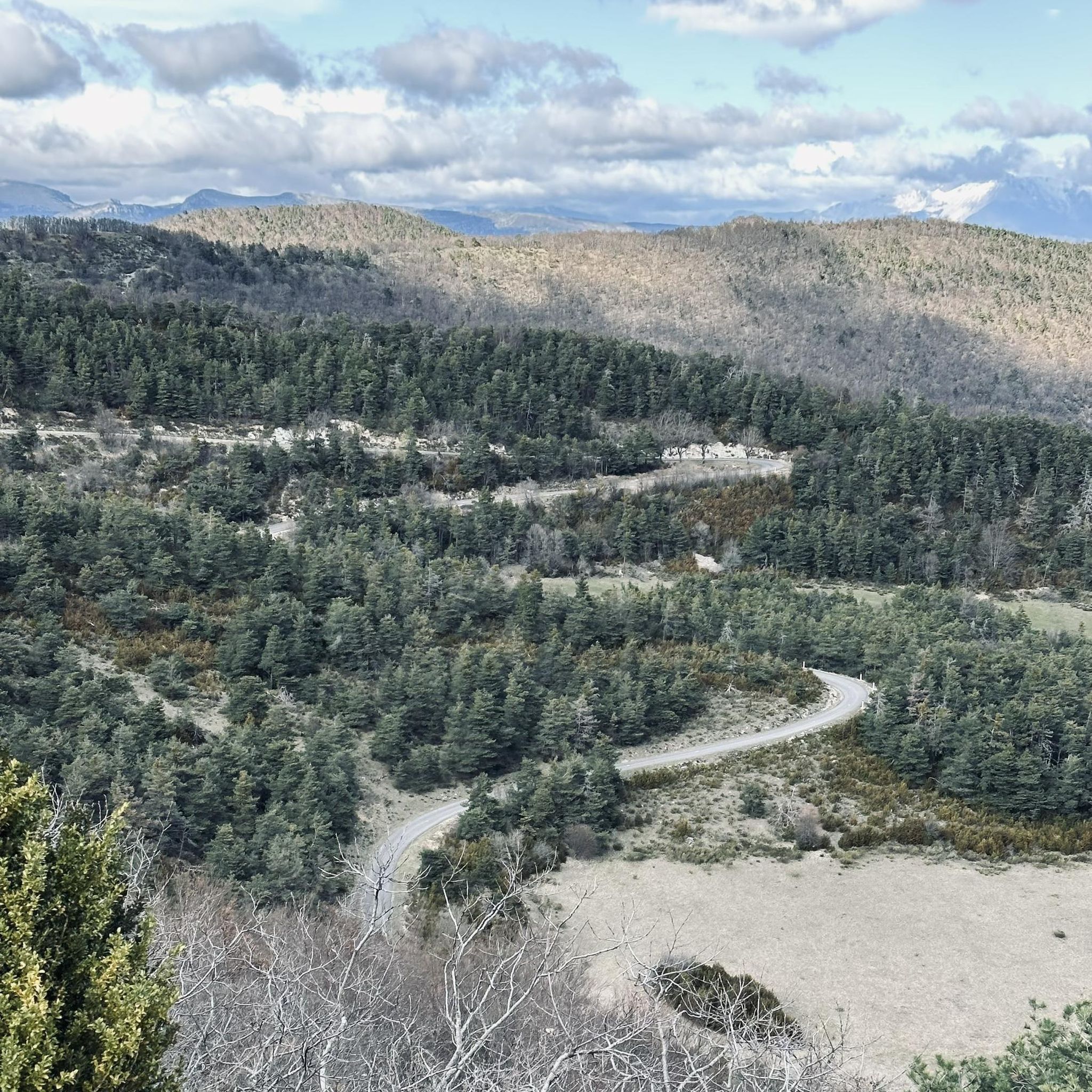
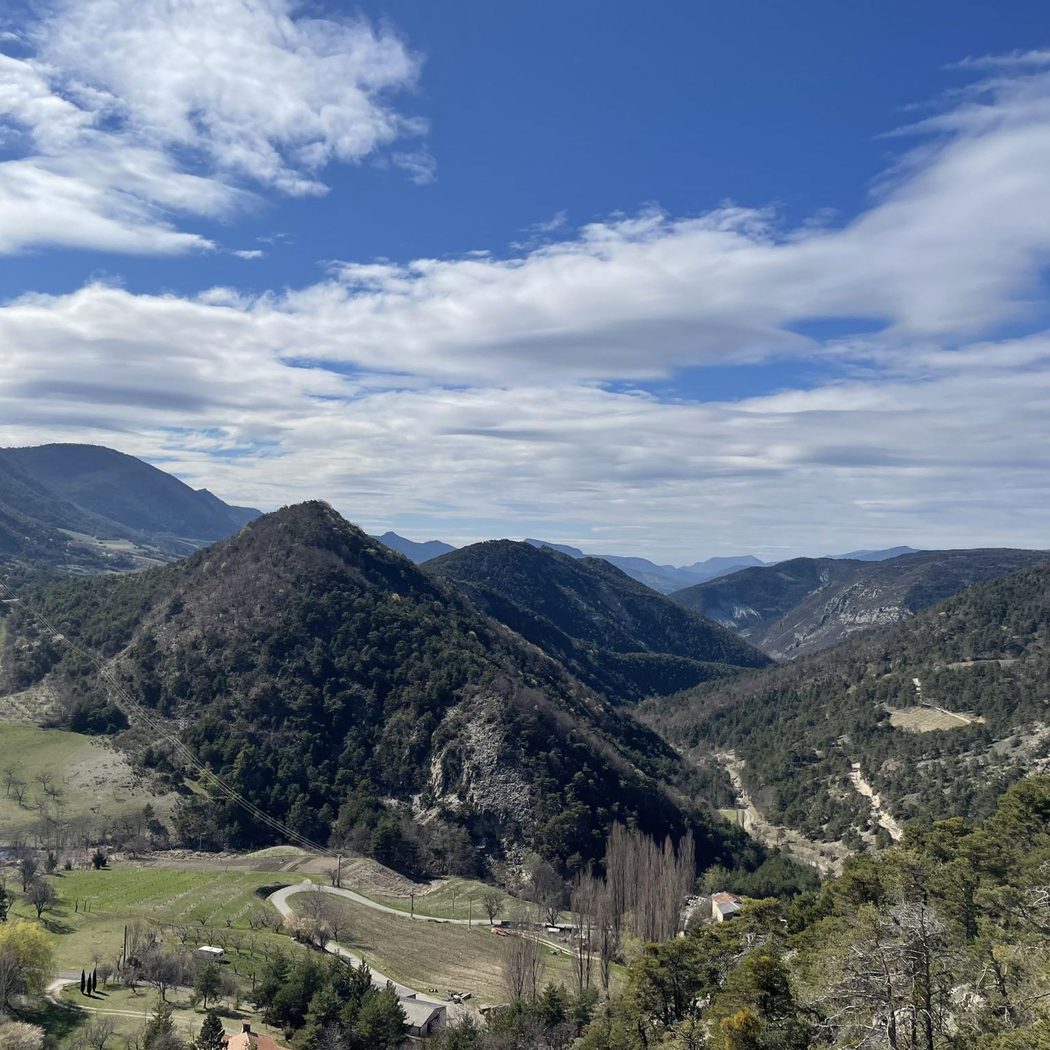
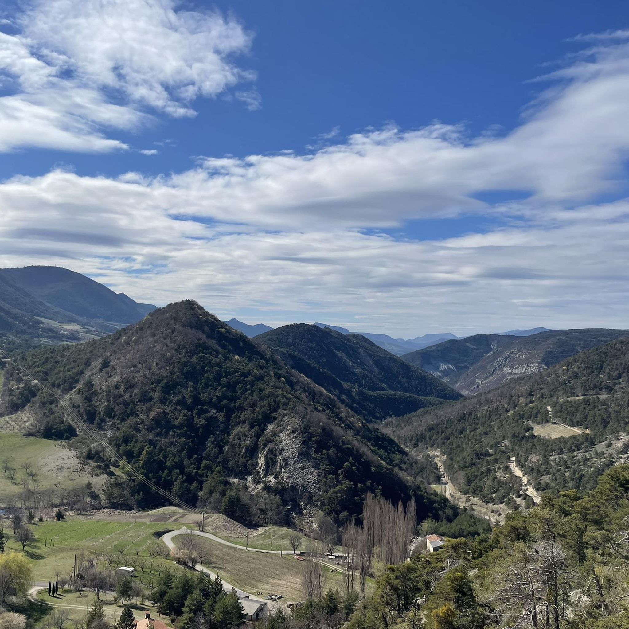
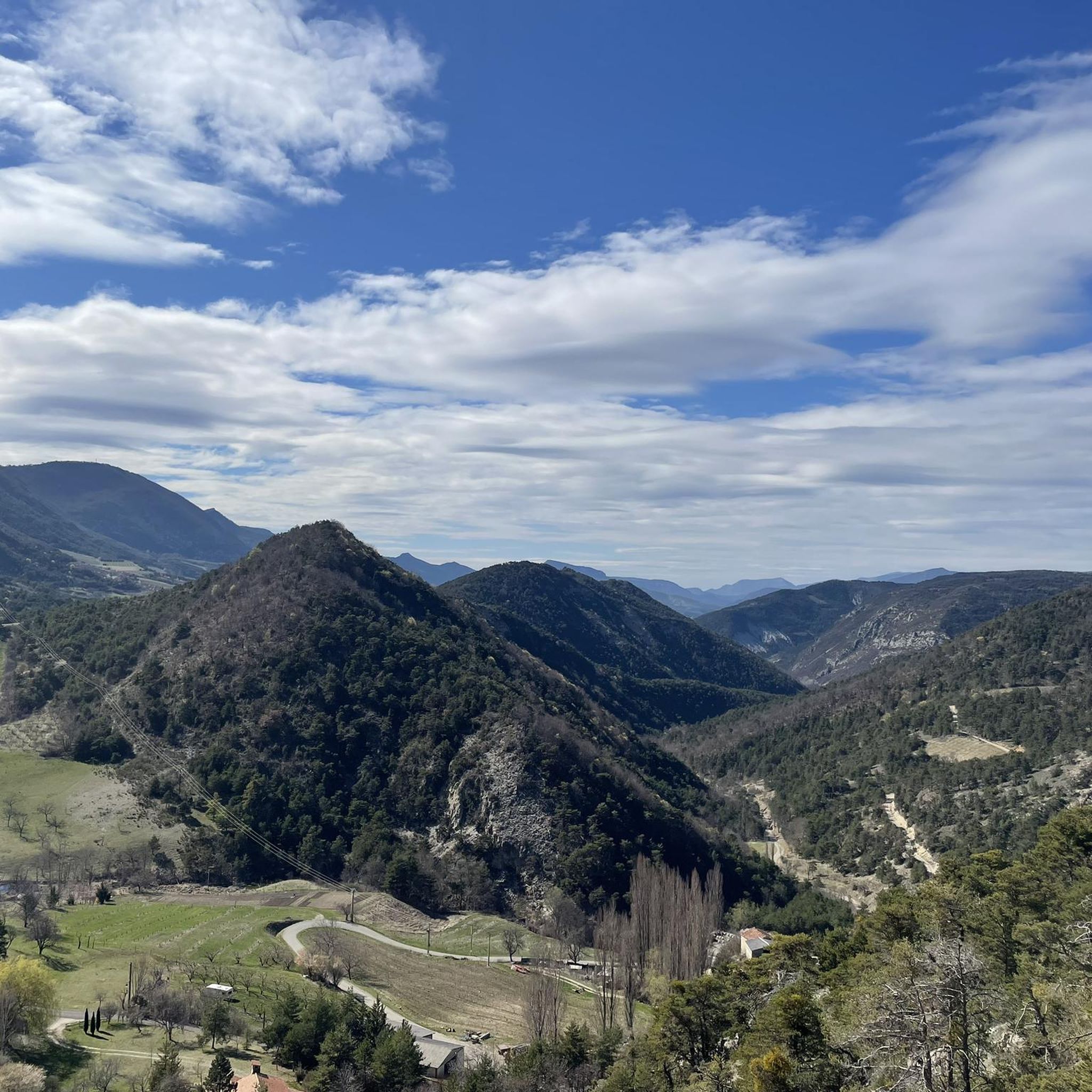
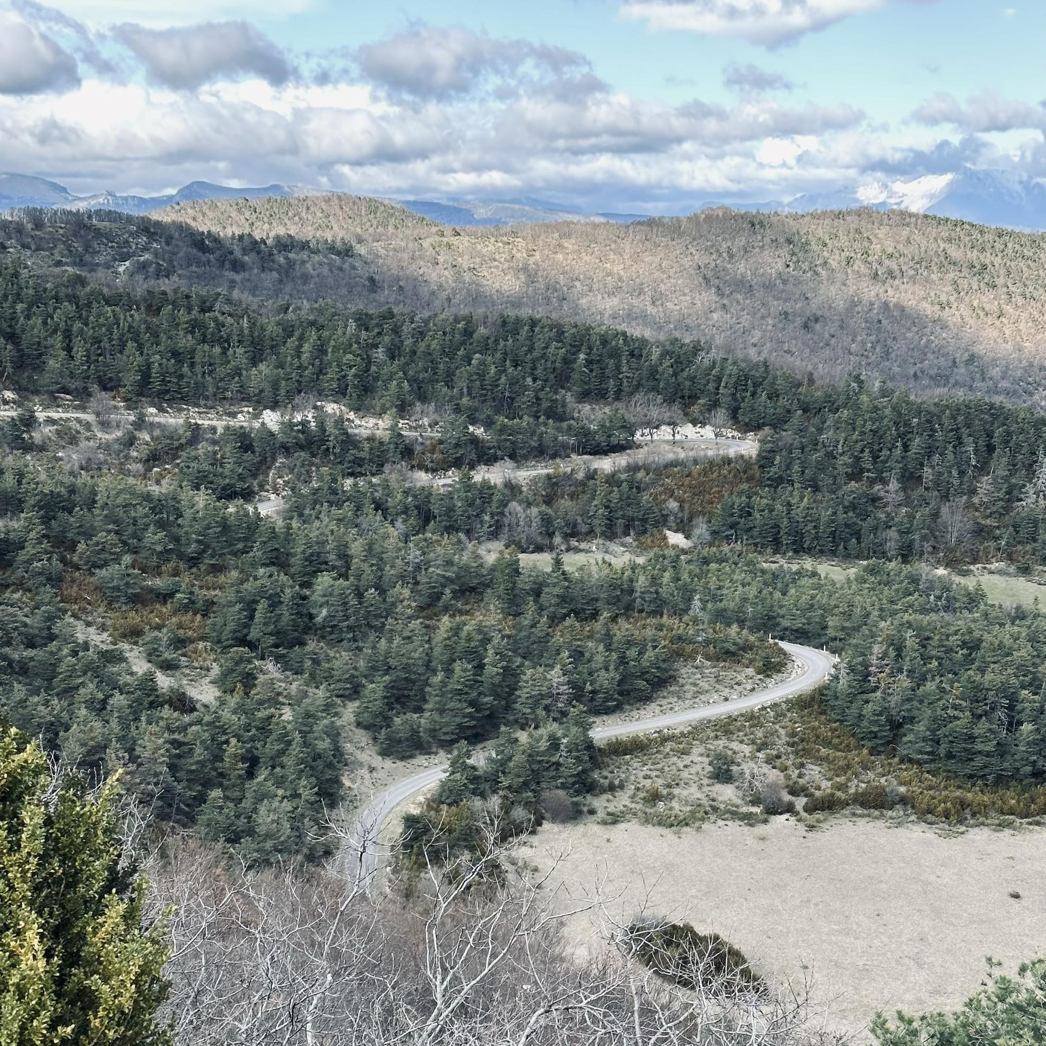
Tips from the Community

For cyclists it's a climb: * Length: approx. 7 km * Elevation gain: approx. 320 m * Average gradient: 4.6% * Maximum gradient: approx. 5%
5
0
The Col de Peyruergue (794 m) is a pass located in the Drôme department, within the Parc naturel régional des Baronnies provençales. It connects the Ennuye valley with that of the Ouvèze, near Saint-Sauveur-Gouvernet.
6
0
Col de Perty is located in the Baronnies Provençales massif, in the Drôme department, in the Auvergne-Rhône-Alpes region, in the southeast of France. It reaches an altitude of 1,302 m and connects the Ouvèze valley with the Orpierre area, in the Hautes-Alpes.
10
0
Altitude: 1,159 m * Region: Drôme, on the border with the Hautes-Alpes department. * Connects: the villages of Laborel and Lachau with the Céans valley.
5
0
The Col de Pierre-Vesce is a mountain pass located in the Drôme department, in the heart of the Baronnies Provençales massif. Some details: * 📍 Altitude: approximately 1,056 m (some less recent sources mention 1,013 m, but the altitude of the pass on the road is generally indicated as 1,056 m). * 🚴 It connects the municipalities of Laborel and Villebois-les-Pins. * ⛰️ The climb is short but demanding: * from Laborel: 3.3 km with an average gradient of 6.9%; * from Villebois-les-Pins: 2.3 km with an average gradient of 8.7%, with sections reaching almost 14%.
10
0

Magnificent landscapes and incredible coolness so early in the morning
0
0

Quiet pass with relatively little road traffic.
0
0

The gorges and the pass are both magnificent
0
0
Frequently Asked Questions
What makes the mountain passes around Chauvac-Laux-Montaux unique?
The mountain passes in this region, particularly within the Baronnies massif, are known for their mountainous terrain and scenic views. They offer access to elevations over 1,000 meters, providing perspectives of surrounding peaks like Mont Ventoux. The area features diverse routes suitable for various outdoor activities, including cycling and hiking.
Which mountain passes offer the best panoramic views?
For breathtaking panoramas, Perty Pass is highly recommended. It culminates at 1,302 meters and provides extensive views of the surrounding mountains, including Mont Ventoux. Another excellent option is Saint-Jean Pass, which sits at 1,159 meters in the Baronnies massif and offers beautiful, wide views of the area.
Are there challenging mountain passes for experienced cyclists?
Yes, for experienced cyclists, the ascent to Perty Pass from the east presents a challenge with an average gradient of 5.59% and a maximum of 7.7% over 8.5 kilometers. Similarly, Saint-Jean Pass features slopes often approaching 7% over 5.3 kilometers from Laborel on its northern slope. For a steeper challenge, Col de Pierre Vesce has gradients over 10% in some sections.
What are some easier mountain passes for a more relaxed experience?
If you're looking for a less strenuous climb, Col d'Aulan from Montbrun-les-Bains is 8.6 km long with an average gradient of 3.2% and maximum gradients of 8.4%. It's described as a beautiful climb that is not too difficult, on a narrow but little-used road, offering wild and beautiful scenery.
What outdoor activities can I do near these mountain passes?
The region around Chauvac-Laux-Montaux offers a variety of outdoor activities. You can find numerous hiking trails, including options like the 'Chamouse Mountain – Perty Pass loop' and 'The mountain of l'Arsuc from the Col de Perty'. For cyclists, there are challenging road cycling routes and exciting MTB trails, such as the 'Charouille summit – Col de Pierre Vesce loop'.
Are there family-friendly options for visiting mountain passes?
While specific 'family-friendly' categories are not explicitly listed for all passes, areas like Perty Pass offer easy strolls and parking, making them accessible for families. The 'mountain of l'Arsuc from the Col de Perty' is an easy hiking option that could be suitable for families.
Where can I find parking at the mountain passes?
Parking is available at Perty Pass, making it a convenient starting point for exploring the area. For other passes, it's advisable to check specific route descriptions or local information for parking availability.
What is the best time of year to visit the mountain passes?
The best time to visit the mountain passes around Chauvac-Laux-Montaux is generally during the warmer months, from spring to autumn. This period offers favorable weather conditions for hiking and cycling, with clear views and accessible roads. Winter can bring snow, making some passes challenging or impassable.
What can I expect from the scenery around <a href="https://www.komoot.com/highlight/590880" target="_blank" rel="noopener">Peyruergue Pass</a>?
Peyruergue Pass, located as the eastern gateway to the Ennuye valley, offers beautiful views. Visitors have described it as having a 'beautiful view,' particularly when approached from Saint-Sauveur-Gouvernet or via gravel paths from Col d'Ey.
What do visitors enjoy most about the mountain passes in this region?
Visitors frequently praise the wild and beautiful scenery, the challenging yet rewarding climbs for cyclists, and the breathtaking panoramas from viewpoints like Perty Pass. The quiet, less-trafficked roads, such as those leading to Col d'Aulan, are also highly appreciated for an intimate outdoor experience.
Are there any particularly steep sections on the mountain passes?
Yes, some passes feature notably steep sections. For instance, Col de Pierre Vesce is known for gradients exceeding 10%. Perty Pass has a maximum gradient of 7.7% from the east, and Saint-Jean Pass often sees slopes approaching 7% on its northern approach.
Most popular routes around Chauvac-Laux-Montaux
Most popular attractions around Chauvac-Laux-Montaux

Get inspired with the komoot mobile app


Explore more
See even more epic mountain passes by checking out these guides around Chauvac-Laux-Montaux:
