Top 6 Mountain Passes around Beaurières
Best mountain passes around Beaurières are situated in a region characterized by its diverse mountainous terrain, including parts of the Diois massif and proximity to the Vercors plateaus. The area features a network of roads and trails that traverse various elevations, offering access to alpine landscapes. This geographical setting provides opportunities for exploring different types of mountain passes. The passes often connect valleys and offer views of the surrounding natural environment.
Best mountain passes around Beaurières
- The most popular mountain…
Last updated: August 19, 2026
Col de Carabès
Highlight • Mountain Pass
Showing Translation
Tip by

Cabre Pass (1,180 m)
Highlight (Segment) • Mountain Pass
Showing Translation
Tip by
Sign up now to discover places like this
Get recommendations on the best single tracks, peaks, & plenty of other exciting outdoor places.
Sign up for free
Prémol Pass
Highlight • Mountain Pass
Translated by Google •
Tip by

D539 Mountain Road, Parc Naturel Régional du Vercors
Highlight • Mountain Pass
Translated by Google •
Tip by

Pommerol Pass
Highlight (Segment) • Mountain Pass
Showing Translation
Tip by
Sign up for free to discover even more mountain passes around Beaurières.
Sign up for free
Already have an account?
Start today with a free account
Your next adventure awaits.
Login or Signup
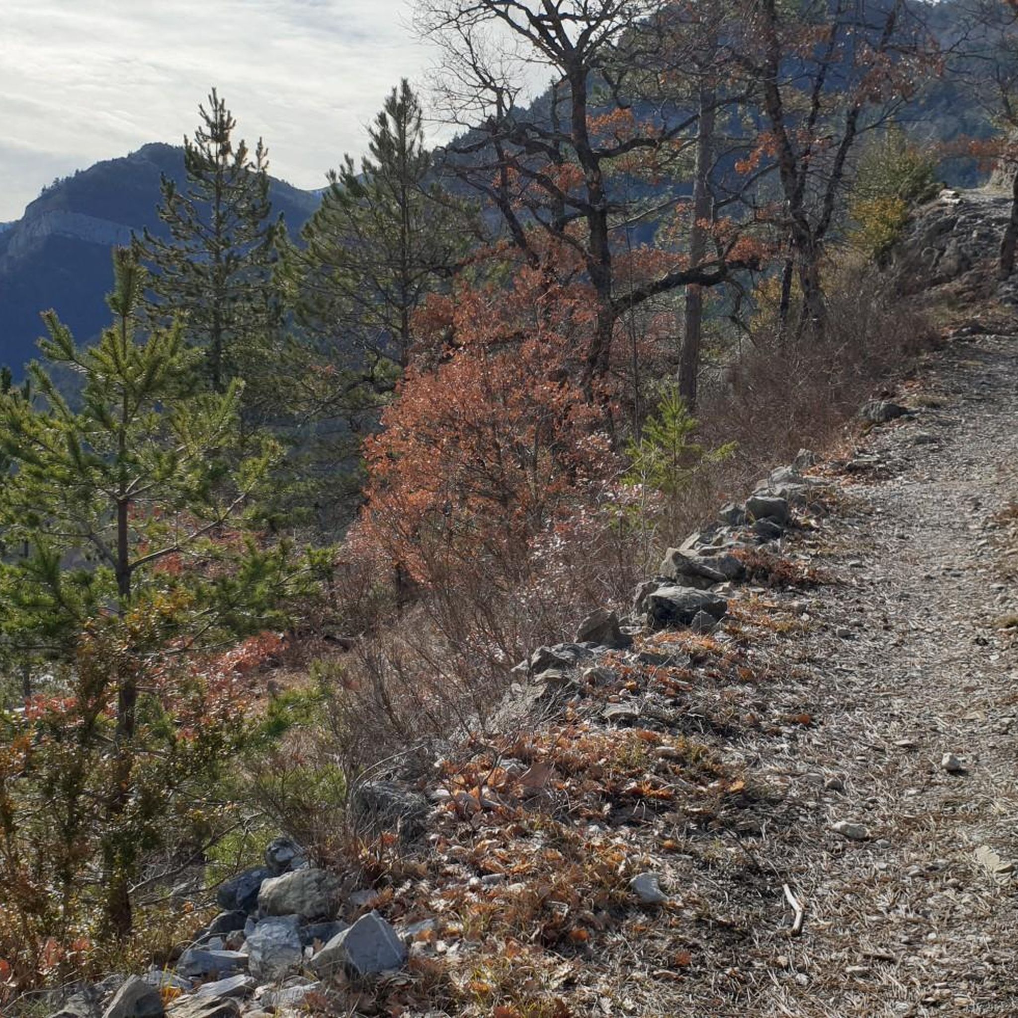
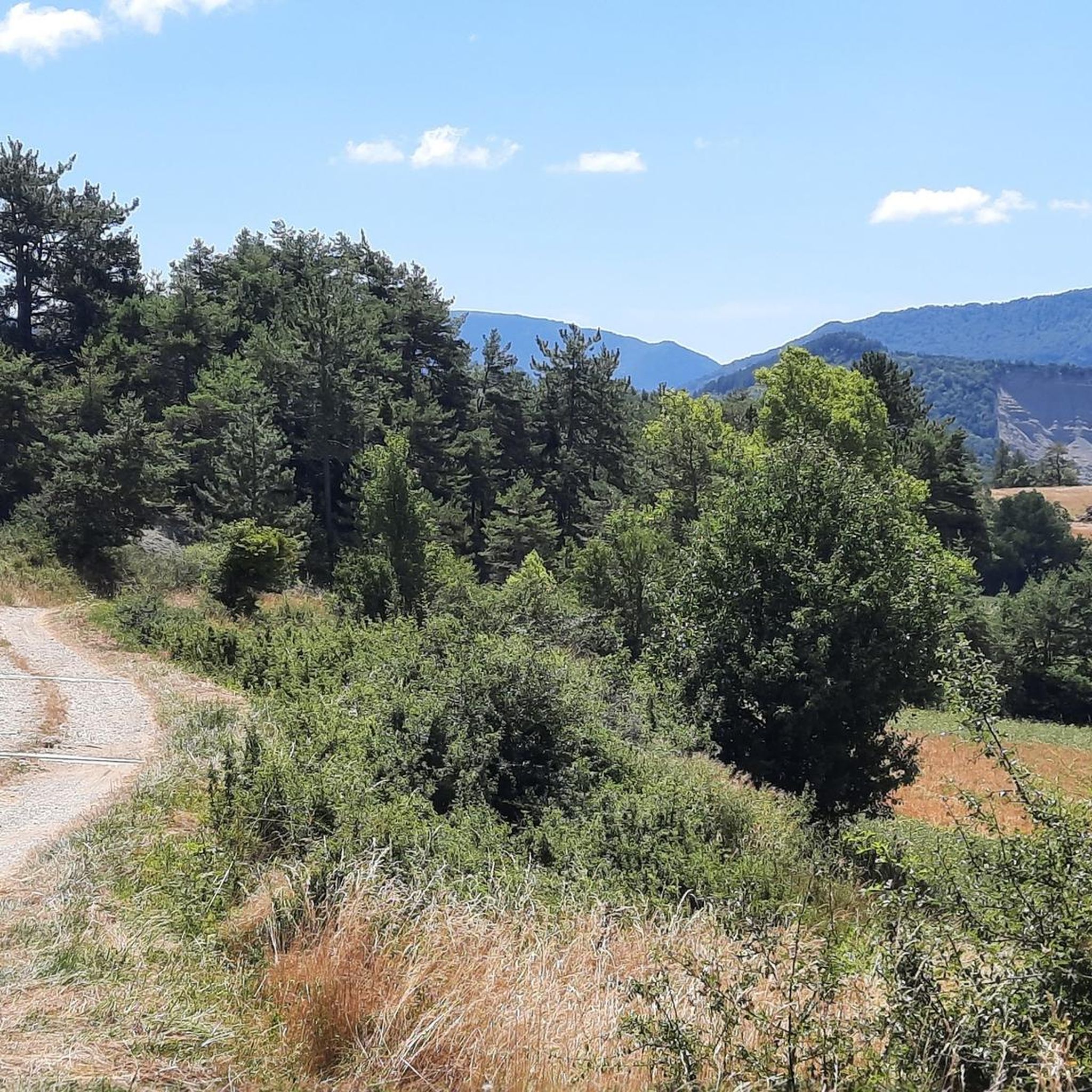
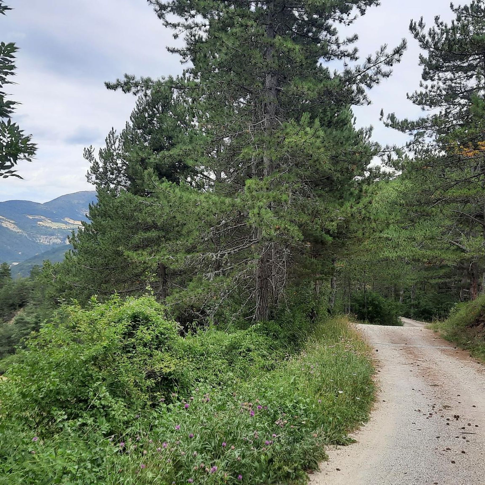
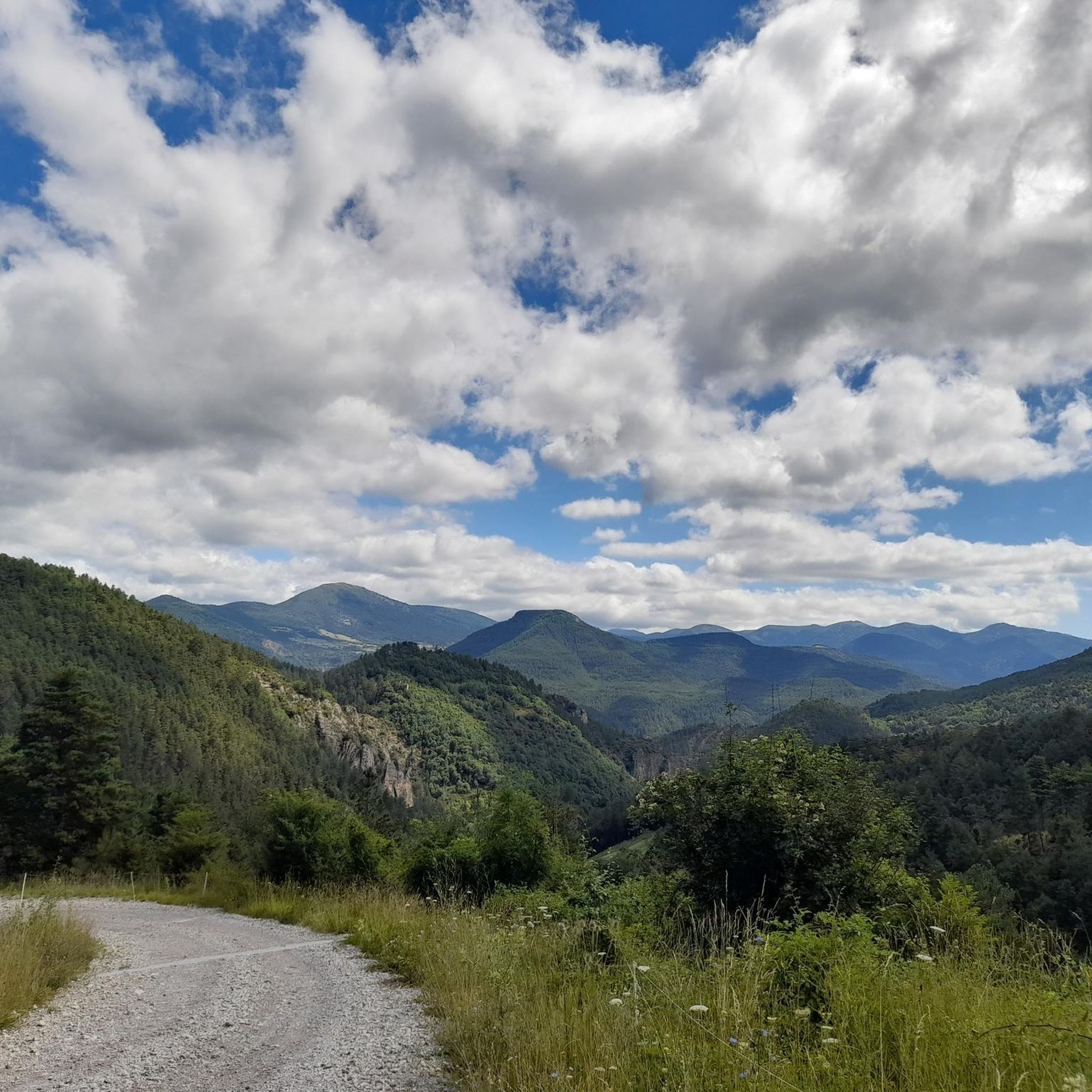
Tips from the Community

The Col de Pommerol is a climb located in the Hautes Alpes region. It is 6.6 km long, with an elevation gain of 371 m and an average gradient of 5.6%.
3
0
The Col de Carabès is a mountain pass located in the French Alps, on the border between the departments of Drôme and Hautes-Alpes.
19
0
Col de Cabre is a mountain pass located in the southeast of France, between the departments of Drôme and Hautes-Alpes, in the regions Auvergne-Rhône-Alpes and Provence-Alpes-Côte d'Azur.
18
0
Colle di Cabre is an alpine pass located at an altitude of 1,180 meters, on the border between the French departments of Drôme and Hautes-Alpes, in the Auvergne-Rhône-Alpes region. It connects the Diois valley, to the west, with the Buëch valley, to the east, representing one of the main passages in the southern French Alps.
12
0

Much better alternative than the main road from the Drôme towards Gap. Almost no traffic, on average 4-5% on both sides, but short stretches also 7-8%. On the south side beautiful rock formations and gorge, north side less spectacular, more between trees.
4
0

magnificent little walk to do
0
0

One of the most beautiful roads in the region.
0
0

On the edge of the Vercors plateaus, there are superb mountain roads that combine elevation and charming landscapes. The D 539 is one of them.
1
0
Frequently Asked Questions
What are some of the most scenic mountain passes to explore near Beaurières?
For breathtaking views, consider the Col de Carabès, which offers panoramic vistas towards the Hautes Alpes. Another excellent choice is the D539 Mountain Road, Parc Naturel Régional du Vercors, known for its charming landscapes and elevation on the edge of the Vercors plateaus.
Are there mountain passes around Beaurières suitable for cycling?
Yes, several passes are popular with cyclists. The Prémol Pass on the D61 is a small road pass with gentle gradients between 3% and 5%, making it accessible. The Col de Rossas also offers a calm road and superb views, with an ascent of 6.4 kilometers at 6.5-7% from Valdrôme. For more cycling routes, check out the Cycling around Beaurières guide.
What kind of natural features can I expect to see at the mountain passes in this region?
The mountain passes around Beaurières are situated in a diverse mountainous terrain, including parts of the Diois massif and proximity to the Vercors plateaus. You can expect alpine landscapes, panoramic views, and serene natural environments. For instance, the Col de Rossas is known for its calm surroundings where you might encounter sheep and goats in the pastures.
Are there challenging mountain passes for experienced cyclists or hikers near Beaurières?
For a more challenging experience, the Col de la Haute Beaume (1268 m) features tough sections with gradients sometimes reaching 10%, and hairpin bends at around 6% towards the summit. The Col de Rossas also presents a notable climb with an average gradient of 6.5-7% from Valdrôme.
What outdoor activities can I do near these mountain passes?
The region around Beaurières offers a variety of outdoor activities. You can find numerous cycling routes, including challenging loops like the 'Col de Carabès – Saut de la Drôme and the Claps loop from Luc-en-Diois' in the Cycling around Beaurières guide. For mountain biking, explore trails such as 'The 3 Cols Trail' or 'Col de Carabès – Col de Carabès loop from Valdrôme' in the MTB Trails around Beaurières guide. Running enthusiasts can find routes like 'Luc-en-Diois – Saut de la Drôme and the Claps loop from Luc-en-Diois' in the Running Trails around Beaurières guide.
What is the best time of year to visit the mountain passes around Beaurières?
While specific seasonal data isn't provided, mountain passes in regions like the Diois massif and Vercors plateaus are generally best visited from late spring to early autumn (May to October). During these months, the weather is typically more stable, and roads are clear of snow, making them ideal for cycling, hiking, and scenic drives. Winter can bring snow and colder temperatures, potentially closing some higher passes.
Are there any less-traveled mountain passes for a quieter experience?
Yes, the Col de Carabès is described as a narrow, little-traveled road between Valdrôme and Serres, offering a more secluded experience. Similarly, the Prémol Pass on the D61 generally experiences relatively little traffic, providing a peaceful journey through the Drometal and Ouletal areas.
What do visitors appreciate most about the mountain passes near Beaurières?
Visitors frequently highlight the superb panoramic views, the charming and diverse landscapes, and the opportunities for exploration. The combination of elevation and natural beauty, particularly on routes like the D539 Mountain Road, Parc Naturel Régional du Vercors, is often praised. The tranquility and less-traveled nature of some passes, such as the Col de Rossas, are also highly valued.
Can I find mountain passes with moderate difficulty for a balanced outdoor experience?
Absolutely. Many passes in the Beaurières region offer intermediate difficulty. The Col de Carabès is categorized as intermediate, providing a good balance of challenge and reward with its average gradients. The Prémol Pass is also considered intermediate, with manageable gradients between 3% and 5%.
Are there any specific viewpoints or scenic spots along these mountain passes?
Yes, many of the passes are noted for their scenic qualities. The Col de Carabès offers a very beautiful panorama towards the Hautes Alpes. The Col de Rossas provides a superb view of the plateau you've just climbed. The D539 Mountain Road, Parc Naturel Régional du Vercors is also highlighted for its charming landscapes and magnificent views.
Most popular attractions around Beaurières

Get inspired with the komoot mobile app


Explore more
See even more epic mountain passes by checking out these guides around Beaurières:
