The best walks and hikes around Lierval
4.5
(537)
2,342
hikers
140
hikes
Hiking around Lierval offers diverse landscapes in the Aisne department of the Hauts-de-France region. The area features a varied topography with altitudes ranging from 90 to 190 meters, encompassing both gentle slopes and more challenging ascents. A significant portion of the commune is covered by lush forests, providing ample opportunities for shaded walks. The presence of Ailette Lake also contributes to scenic routes and natural exploration.
Best hiking trails around Lierval
- The most popular hiking route is View of Lake…
Last updated: June 21, 2026
4.4
(58)
217
hikers
9.47km
02:32
100m
100m
Moderate hike. Good fitness required. Easily-accessible paths. Suitable for all skill levels.
4.8
(8)
23
hikers
7.61km
02:07
140m
140m
Moderate hike. Good fitness required. Easily-accessible paths. Suitable for all skill levels.

Sign up for free
5.0
(2)
14
hikers
11.2km
03:03
160m
170m
Moderate hike. Good fitness required. Easily-accessible paths. Suitable for all skill levels.
5.0
(2)
16
hikers
11.4km
03:05
160m
160m
Moderate hike. Good fitness required. Easily-accessible paths. Suitable for all skill levels.
3.0
(1)
8
hikers
6.80km
01:52
110m
110m
Easy hike. Great for any fitness level. Easily-accessible paths. Suitable for all skill levels.
Get access to more routes and recommendations from other explorers.
Sign up for free
Already have an account?
Our route recommendations are based on thousands of hikes, rides, and runs completed by other people on komoot.
Start today with a free account
Your next adventure awaits.
Login or Signup

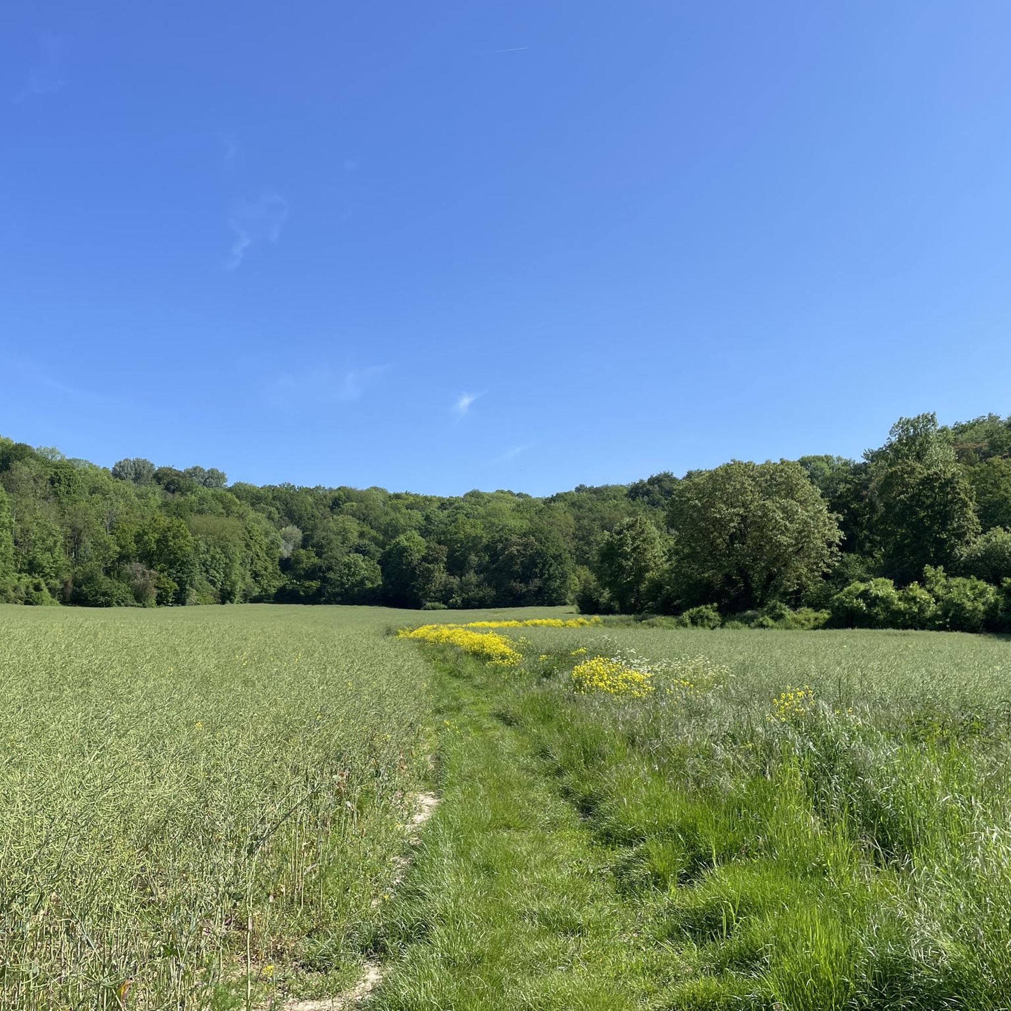
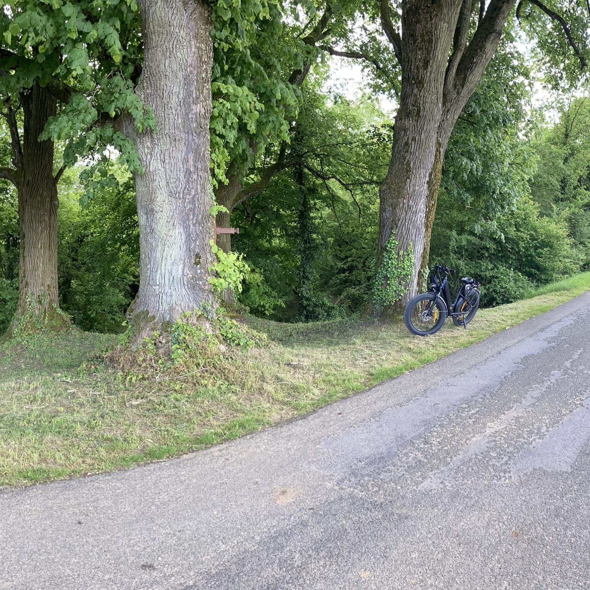

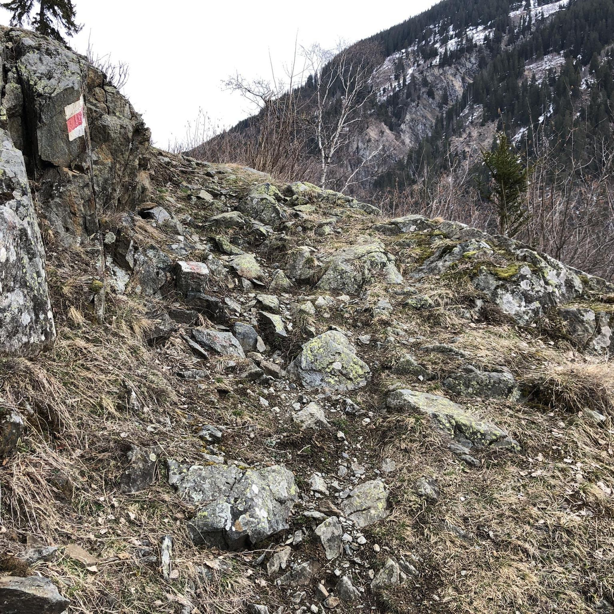
Tips from the Community

Entrance to Centre Parcs at Lac d'Ailette
0
0


Nice view of the lake and the houses of Center Parc
2
0


Frequently Asked Questions
How many hiking trails are available around Lierval?
There are over 120 hiking trails around Lierval, offering a wide range of options for different skill levels. You'll find everything from easy strolls to more challenging routes, with 62 easy trails, 65 moderate trails, and 2 difficult trails.
What kind of terrain can I expect on hikes near Lierval?
The terrain around Lierval is quite diverse, with altitudes ranging from 90 to 190 meters. You can expect a mix of gentle slopes and some more challenging ascents. A significant portion of the area is covered by lush forests, providing shaded walks, and many routes offer scenic views of Ailette Lake.
Are there any family-friendly hiking options in the Lierval area?
Yes, Lierval offers several family-friendly hiking options. Many of the 62 easy trails are suitable for families. For example, the Chevregny Nature Reserve – View of Chevregny loop from Chevregny is a moderate 7.6 km route that allows you to experience the natural beauty of the reserve without being overly strenuous.
Can I bring my dog on the hiking trails around Lierval?
While specific regulations for dogs on trails can vary, generally, dogs are welcome on many hiking trails in the Lierval area, especially if kept on a leash. It's always a good idea to check local signage or specific route descriptions for any restrictions before heading out with your canine companion.
Are there any circular hiking routes near Lierval?
Yes, many of the popular routes around Lierval are circular, allowing you to start and end at the same point. Examples include the scenic View of Lake Ailette – Lake Ailette loop from Chamouille and the historical Ailette Lake – Ruins of Vauclair Abbey loop from Chamouille.
What natural features or landmarks can I see while hiking near Lierval?
Hiking near Lierval offers a blend of natural beauty and historical intrigue. You'll encounter lush forests and the picturesque Ailette Lake, which features prominently in many routes. Historic landmarks include the ancient Vauclair Abbey Ruins, which can be explored on routes like the Ailette Lake – Ruins of Vauclair Abbey loop from Chamouille. Other nearby attractions include the Notre-Dame Cathedral and the historic Laon Old Town — Murals and Fortifications.
What do other hikers say about the trails in Lierval?
The trails in Lierval are highly rated by the komoot community, with an average score of 4.5 stars from over 480 reviews. Hikers often praise the diverse terrain, the tranquility of the lush forests, and the scenic views of Ailette Lake. Many appreciate the variety of routes available for different fitness levels.
What is the best time of year to go hiking in Lierval?
The Lierval area is enjoyable for hiking throughout much of the year. Spring and autumn offer pleasant temperatures and beautiful scenery with blooming flowers or vibrant fall foliage. Summer is also popular, especially for shaded forest walks. While winter hiking is possible, be prepared for colder conditions and potentially muddy or icy paths.
Is there parking available at the trailheads?
Many trailheads around Lierval, especially those near popular starting points like Chamouille or Chevregny, offer designated parking areas. It's advisable to check the specific route details on komoot for parking information related to your chosen trail.
Are there cafes or places to eat near the hiking trails in Lierval?
While Lierval itself is a small commune, the surrounding area, particularly near Ailette Lake and in nearby villages, offers options for cafes and restaurants where you can refuel after your hike. Chamouille, a common starting point for many trails, is likely to have amenities.
What is the typical elevation gain on hikes around Lierval?
Hikes around Lierval generally feature moderate elevation gains, reflecting the varied topography of the region. For example, the Viewpoint – Lake Ailette loop from Chamouille, a 16.8 km trail, has an elevation gain of approximately 223 meters, making it a good workout without being overly strenuous.
Can I reach hiking trails near Lierval using public transport?
Public transport options directly to every trailhead in a rural area like Lierval might be limited. However, you may be able to reach larger towns or villages in the Aisne department via regional buses or trains, and then potentially connect to trailheads. For detailed public transport information in the Hauts-de-France region, it's best to consult local transport authorities.
Most popular attractions around Lierval

Get inspired with the komoot mobile app


Explore more
Browse the best Hikes in other regions.
