The best walks and hikes around Molinchart
4.5
(359)
1,644
hikers
133
hikes
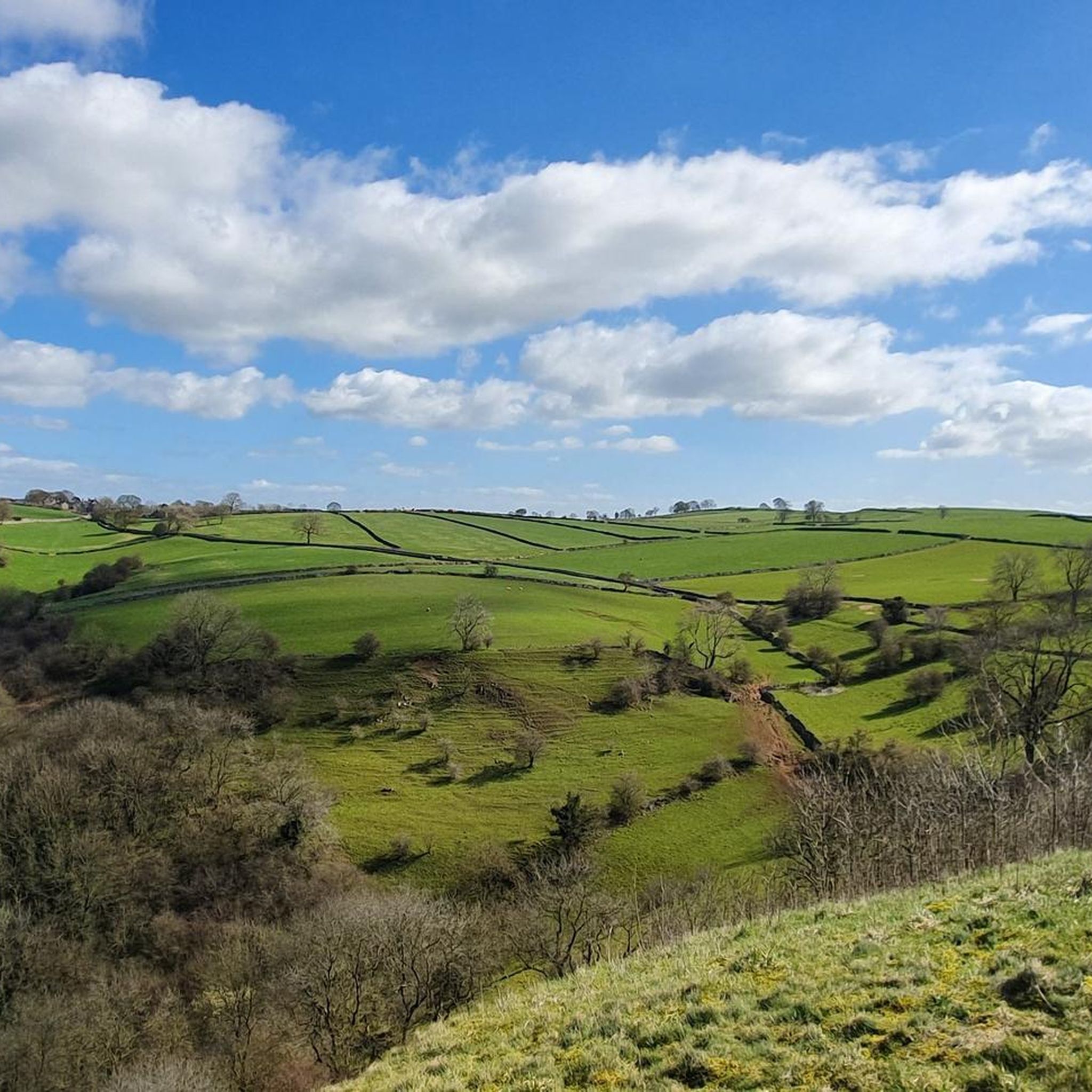
Hiking around Molinchart offers access to a landscape characterized by rolling hills, agricultural fields, and scattered woodlands. The region features gentle elevation changes, making many trails accessible. Waterways and small valleys also contribute to the varied terrain. The area provides a mix of open views and sheltered paths through forested sections.
Best hiking trails around Molinchart
- The most popular hiking route is End of single loop from Mons-en-Laonnois, a 6.5 miles (10.5 km) moderate trail that takes 2 hours…
Last updated: October 5, 2026
4.7
(13)
38
hikers
10.1km
02:46
160m
160m
Moderate hike. Good fitness required. Easily-accessible paths. Suitable for all skill levels.
4.8
(12)
10
hikers
11.4km
03:10
200m
200m
Moderate hike. Good fitness required. Easily-accessible paths. Suitable for all skill levels.

4.0
(2)
8
hikers
19.2km
05:17
300m
300m
Hard hike. Very good fitness required. Easily-accessible paths. Suitable for all skill levels.
5.0
(1)
6
hikers
16.0km
04:25
260m
260m
Moderate hike. Good fitness required. Easily-accessible paths. Suitable for all skill levels.
4.8
(5)
7
hikers
5.96km
01:38
90m
90m
Easy hike. Great for any fitness level. Easily-accessible paths. Suitable for all skill levels.
Get access to more routes and recommendations from other explorers.
Already have an account?
Our route recommendations are based on thousands of hikes, rides, and runs completed by other people on komoot.
Start today with a free account
Your next adventure awaits.

Tips from the Community

Its construction began in the 13th century, and this church has several peculiarities: its nave comprises only two bays, and its choir communicates with two side chapels placed obliquely at 45° (a layout also found in the churches of Saint Michel en Thiérache, Braine, or Chaudardes). It was, however, damaged during the Hundred Years' War, and received fortifications in the 16th century. Inside, a large sculpted Christ (16th century) is worth seeing, and outside, a large obituary inscription (15th century), to the left of the western porch.
0
0

Beautiful church in this small village.
0
0


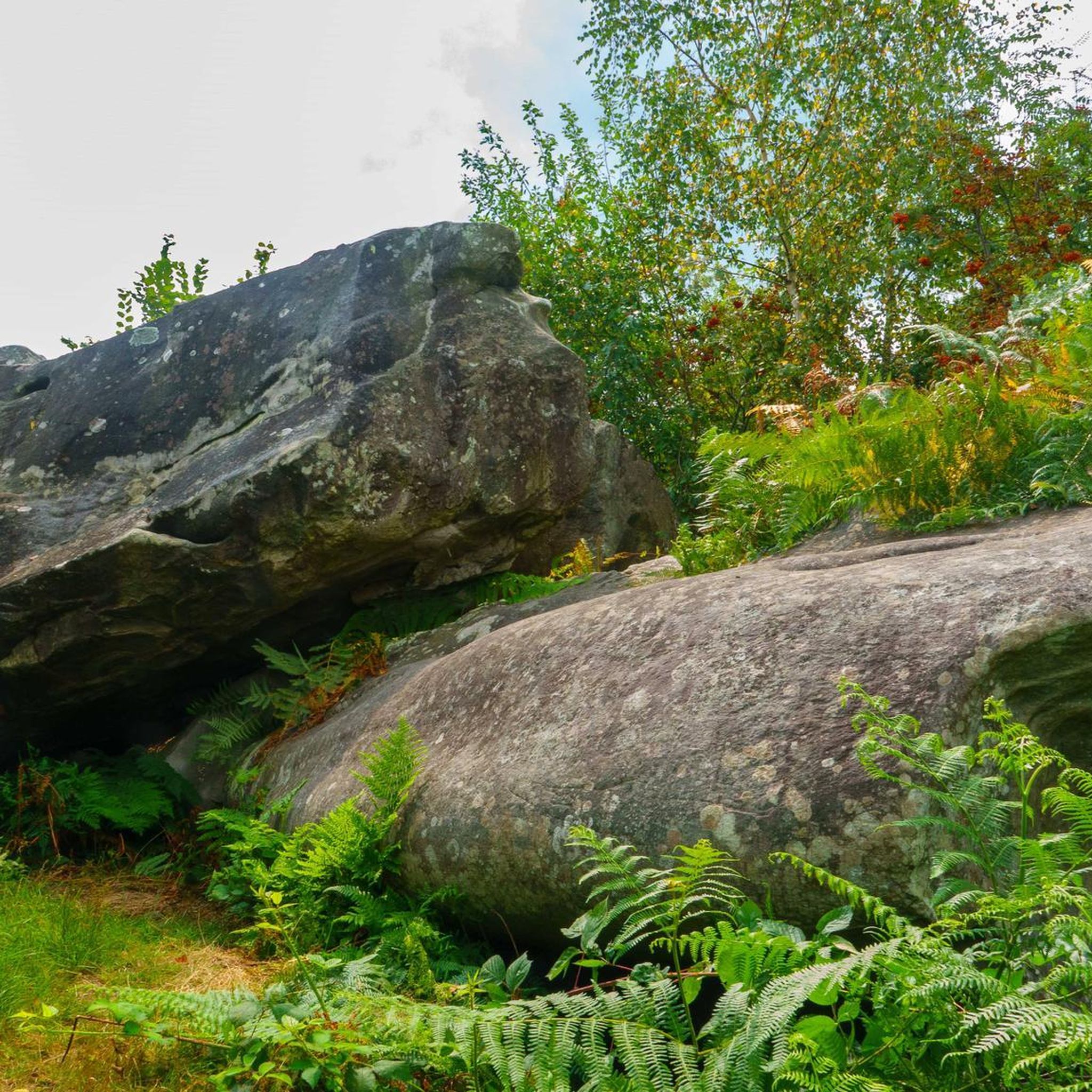
Last part of the path to the stone fort, quite rolling
0
0
Bourguignon sous Montbavin is the birthplace of Le Nain brothers, famous 17th century painters. Its prestigious past can be seen in the beautiful remaining residences and the pretty fountains. A very beautiful village in the Aisne.
0
0

Central to the city is the town hall, the church and the monument of the dead. But as is the custom in the region you will find many photos, but little explanation.
1
0
As is the custom in this region, you will find thousands of photos, but almost no explanation. The monument is recognized as a memorial to the war in '14 -'18 and is on the list of public works of art in the Aisne.
1
0
Frequently Asked Questions
How many hiking trails are available around Molinchart?
Molinchart offers a wide selection of hiking opportunities, with over 110 trails to explore. These routes cater to various skill levels, including easy, moderate, and a few more challenging options.
Are there easy hiking trails suitable for beginners or families in Molinchart?
Yes, Molinchart is well-suited for beginners and families, with over 50 easy trails. A great option is the Trail along the Creutes loop from Cessières-Suzy, an easy 3.7-mile (6.0 km) path that winds through local countryside, perfect for a shorter outing.
What kind of terrain can I expect on hikes around Molinchart?
The landscape around Molinchart is characterized by rolling hills, extensive agricultural fields, and scattered woodlands. You'll find gentle elevation changes, making many trails accessible, alongside waterways and small valleys that add variety to the terrain. Expect a mix of open views and sheltered paths through forested sections.
Are there any circular hiking routes in the Molinchart area?
Yes, many of the trails around Molinchart are designed as circular routes, allowing you to start and end at the same point. For example, the popular End of single loop from Mons-en-Laonnois is a moderate 6.5-mile (10.5 km) loop offering varied rural scenery.
What do other hikers enjoy most about hiking in Molinchart?
The hiking experience in Molinchart is highly regarded by the komoot community, with an average rating of 4.5 stars from over 250 reviews. Hikers often praise the region's varied terrain, which includes gentle hills, agricultural plains, and small forests, providing a pleasant mix of open views and shaded paths.
Are there any notable landmarks or attractions to see along the hiking trails?
While hiking around Molinchart, you can explore several interesting historical and cultural landmarks. Nearby attractions include the impressive Notre-Dame Cathedral, the historic Porte d'Ardon, and the fascinating Laon Old Town — Murals and Fortifications. These offer a glimpse into the region's rich heritage.
What is the best season for hiking in Molinchart?
Molinchart's gentle landscape makes it suitable for hiking across multiple seasons. Spring and autumn offer pleasant temperatures and beautiful scenery with blooming flowers or vibrant foliage. Summer is also enjoyable, especially on trails with shaded sections. Even winter can be appealing for crisp walks, though some paths might be muddy.
Are there any longer, more challenging hikes available?
While many trails are easy to moderate, Molinchart does offer a few more challenging options for experienced hikers. For instance, the End of single – Saint-Rémi Church loop from Cessières-Suzy is a difficult 11.7-mile (18.9 km) route that provides a longer and more strenuous adventure through the local countryside.
Are Molinchart's hiking trails generally well-marked?
Based on community feedback, the trails around Molinchart are generally well-regarded for their navigability. Many routes follow established paths through fields and woodlands, making them relatively easy to follow. Using the komoot app can further enhance your navigation experience.
Are there options for parking near the trailheads in Molinchart?
Yes, many trailheads in and around Molinchart, especially those starting from villages like Mons-en-Laonnois or Cessières-Suzy, typically offer convenient parking options. It's always a good idea to check the specific tour details on komoot for parking information related to your chosen route.
Can I bring my dog on the hiking trails in Molinchart?
Generally, Molinchart's rural and natural trails are dog-friendly, making it a great region for hiking with your canine companion. However, it's always recommended to keep your dog on a leash, especially when passing through agricultural areas or near livestock, and to check for any specific local regulations or signage on individual routes.
Most popular routes around Molinchart
Most popular attractions around Molinchart

Get inspired with the komoot mobile app


Explore more
Browse the best Hikes in other regions.
