The best mountain hikes around Enveitg
4.9
(6)
34
hikers
5
hikes
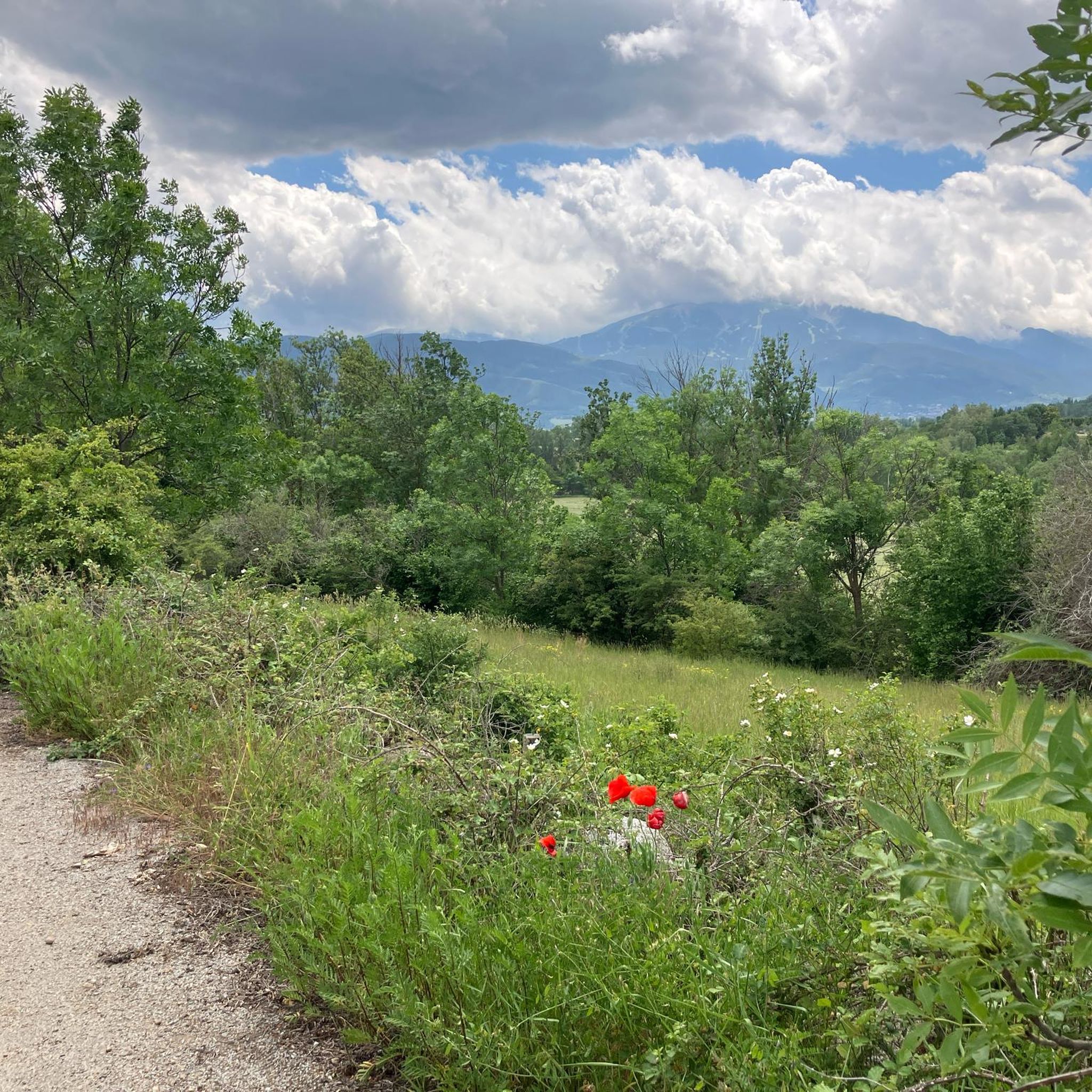
Mountaineering routes around Enveitg are situated in the Cerdanya valley, at the foot of the Carlit massif in the Eastern Pyrenees. The region features a diverse terrain, ranging from 1179 to 2579 meters in altitude, encompassing natural herbaceous environments, meadows, and forests. Prominent features include the towering Pic Carlit, reaching 2,921 meters, and the high-altitude Lake Bouillouses, surrounded by numerous smaller ponds. This landscape offers varied challenges for mountaineers, from forested paths to high-alpine ascents.
Best mountaineering routes around Enveitg
…Last updated: July 1, 2026
5.0
(1)
9
hikers
16.9km
07:36
1,040m
1,040m
Hard mountaineering route. Very good fitness required. Sure-footedness, sturdy shoes and alpine experience required.
5.0
(2)
9
hikers
8.03km
02:54
260m
260m
Moderate mountaineering route. Good fitness required. Mostly accessible paths. Sure-footedness required.

Sign up for free
7
hikers
17.1km
07:38
1,190m
1,190m
Hard mountaineering route. Very good fitness required. Sure-footedness, sturdy shoes and alpine experience required.
3
hikers
15.4km
05:16
650m
650m
Hard mountaineering route. Very good fitness required. Mostly accessible paths. Sure-footedness required.
4.5
(2)
2
hikers
4.95km
01:45
200m
200m
Moderate mountaineering route. Great for any fitness level. Mostly accessible paths. Sure-footedness required.
Our route recommendations are based on thousands of hikes, rides, and runs completed by other people on komoot.
Start today with a free account
Your next adventure awaits.
Login or Signup
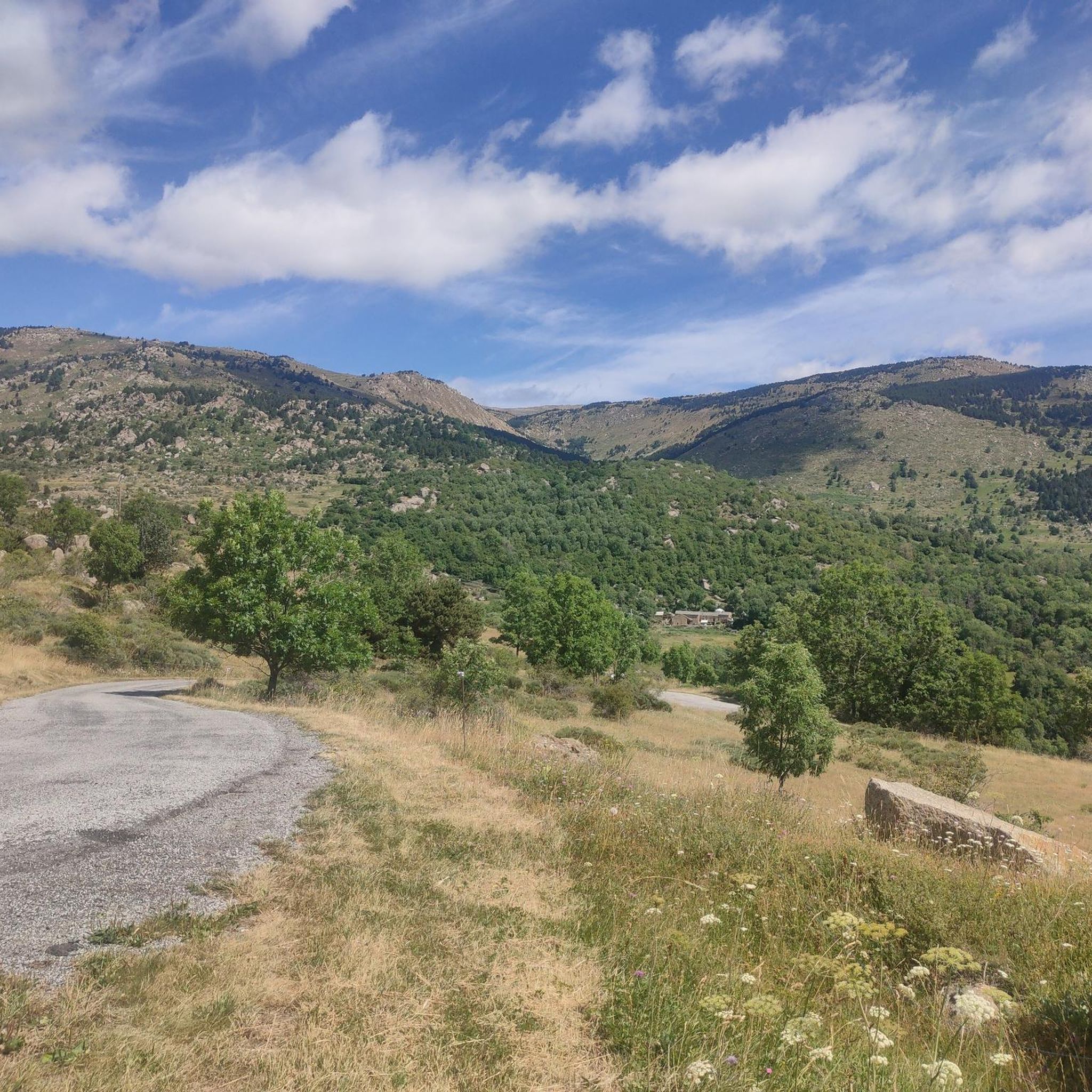
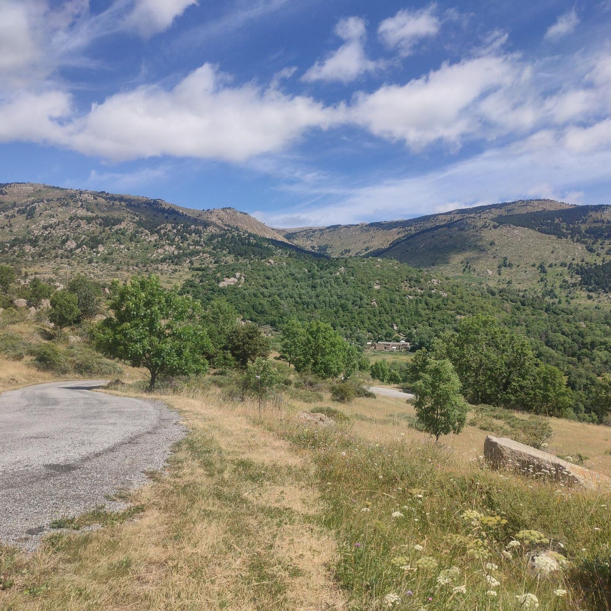
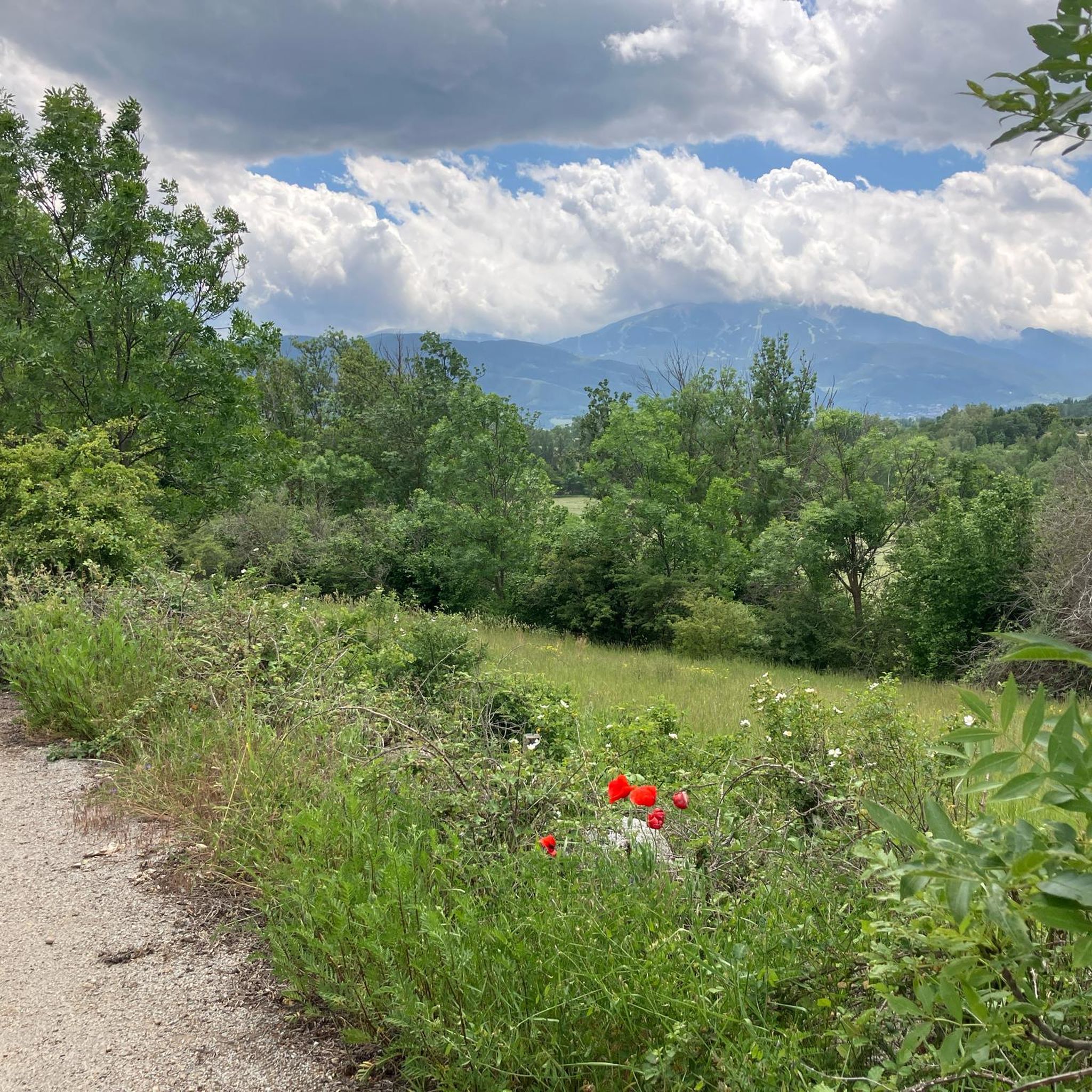
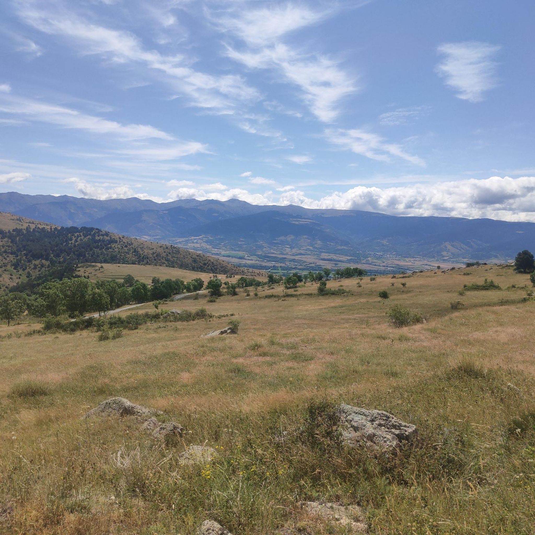

Tips from the Community

The only positive thing about this pass is its relatively moderate gradient. The traffic (until the road to Andorra turns off) is horrific. Hordes of motorcyclists, trucks, cars... If you can, you should avoid this pass.
1
0

A superb lake reflecting the neighboring peaks. The morning light amplifies this mirror effect.
0
0

Although limited to 70 km/h, the tunnel is not passable by bicycle. There's even an electronic toll system.
1
0

Small town, important railway station
0
0


Nestled in a glacial basin, this small lake often lies dry in summer, revealing an impressive mineral setting, surrounded by meadows and imposing peaks. The trails leading to the lake offer magnificent views of the surrounding mountains and allow you to enjoy the tranquility of this timeless place.
1
0
This small high-altitude lake, accessible by hiking trails, offers a preserved natural setting, ideal for a contemplative break. The calm, crystal-clear waters reflect the surrounding peaks.
1
0
Frequently Asked Questions
What kind of mountaineering challenges can I expect around Enveitg?
Mountaineering around Enveitg offers a diverse range of challenges, from moderate ascents through varied terrain to demanding high-alpine expeditions. The region, situated at the foot of the Carlit massif, features significant elevation changes and routes that can take several hours to complete. For instance, the Peak Carlit loop from Barrage de Passet is a challenging 17.1 km route with over 1,100 meters of elevation gain, typically taking around 7 hours 38 minutes.
Are there any easier mountaineering routes suitable for beginners in the Enveitg area?
While many routes in the Enveitg area are rated as difficult, there is at least one moderate option that might be more suitable for beginners or those looking for a less strenuous experience. The Lac de la Coumasse – View of the lakes loop from Lac des Bouillouses is an 8 km route with about 255 meters of elevation gain, taking approximately 2 hours 54 minutes. This route offers beautiful views without the extreme demands of the higher peaks.
How many mountaineering routes are available in the Enveitg region?
The Enveitg region offers a selection of mountaineering routes, with a total of 6 tours currently featured in this guide. These routes provide various options for exploring the Cerdanya valley and the surrounding Carlit massif.
What is the best time of year for mountaineering in Enveitg?
The Cerdanya Valley, where Enveitg is located, offers ideal sun exposure year-round. However, for mountaineering, the best seasons are typically late spring, summer, and early autumn. During these times, trails are generally free of snow, and weather conditions are more stable. Winter mountaineering is possible but requires specialized gear and experience due to snow and ice conditions, especially at higher altitudes like Pic Carlit.
Where can I find parking for mountaineering trails near Enveitg?
Parking availability varies by trailhead. For routes accessing the Lake Bouillouses area, there is a car park at a lower altitude, with restricted access to the lake itself during peak season (July). A bus service connects this lower car park to the dam. For other routes, such as those starting from Barrage de Passet or Col de Puymorens, parking areas are typically available at the starting points.
Is public transport available to access mountaineering routes, especially around Lake Bouillouses?
Yes, public transport is available for accessing the popular Lake Bouillouses area. During July, access to the lake by private vehicle is restricted, and a bus service operates from a lower car park to the dam, making it easier to reach routes like the Les Bones Hores Bar & Restaurant – Peak Carlit loop from Lac des Bouillouses.
Are there any permits required for mountaineering in the Enveitg area?
Generally, permits are not required for hiking and mountaineering on established trails in the Enveitg area, which is part of the Catalan Pyrenees Regional Nature Park. However, it's always advisable to check local regulations, especially if you plan to venture into protected or sensitive ecological zones, or if there are specific restrictions during certain seasons (e.g., fire risk in summer).
Are there circular mountaineering routes available in the Enveitg region?
Yes, several circular mountaineering routes are available, allowing you to start and end at the same point. Examples include the challenging Peak Carlit loop from Barrage de Passet, the Hospitalet near Andorra loop from Andorre - L'Hospitalet, and the moderate Lac de la Coumasse – View of the lakes loop from Lac des Bouillouses.
What natural attractions or landmarks can I see along the mountaineering routes near Enveitg?
The mountaineering routes around Enveitg offer access to stunning natural attractions. You can encounter the majestic Summit of Pic Carlit, offering extensive panoramas, and the beautiful Lake Bouillouses, surrounded by numerous smaller ponds. Other notable features include the Puymorens Pass and the Puigpedrós Summit (2,911 m).
Are there any mountain huts or places to eat along the mountaineering routes?
Yes, there are mountain huts and places to eat that can be found along or near some mountaineering routes. The Malniu Mountain Hut is a guarded refuge at 2,138 meters, providing accommodation and basic amenities. Near Lake Bouillouses, you might find options like the Bouillouses Refuge or the 'Les Bones Hores Bar & Restaurant' mentioned in one of the route names, offering a place to rest and refuel.
Are there opportunities for wild swimming near the mountaineering routes?
The region is home to numerous lakes and ponds, most notably Lake Bouillouses and the smaller ponds surrounding it. While specific wild swimming spots are not explicitly detailed for all routes, the presence of these pristine high-altitude lakes suggests opportunities for a refreshing dip, especially during warmer months. Always check local regulations regarding swimming in natural bodies of water.
What do other mountaineers enjoy the most about mountaineering in Enveitg?
The mountaineering routes in Enveitg are highly rated by the komoot community, with an average score of 4.9 stars. Reviewers often praise the region's diverse terrain, from natural herbaceous environments and meadows to forests and high-alpine landscapes. The challenging ascents to prominent peaks like Pic Carlit and the expansive views across the mountainous landscape are frequently highlighted as rewarding aspects of the experience.
Most popular routes around Enveitg
Most popular attractions around Enveitg

Get inspired with the komoot mobile app


Explore more
Browse the best Mountain Hikes & Routes in other regions.
