The best running trails around Marigny-Saint-Marcel
4.5
(138)
7,196
runners
394
runs
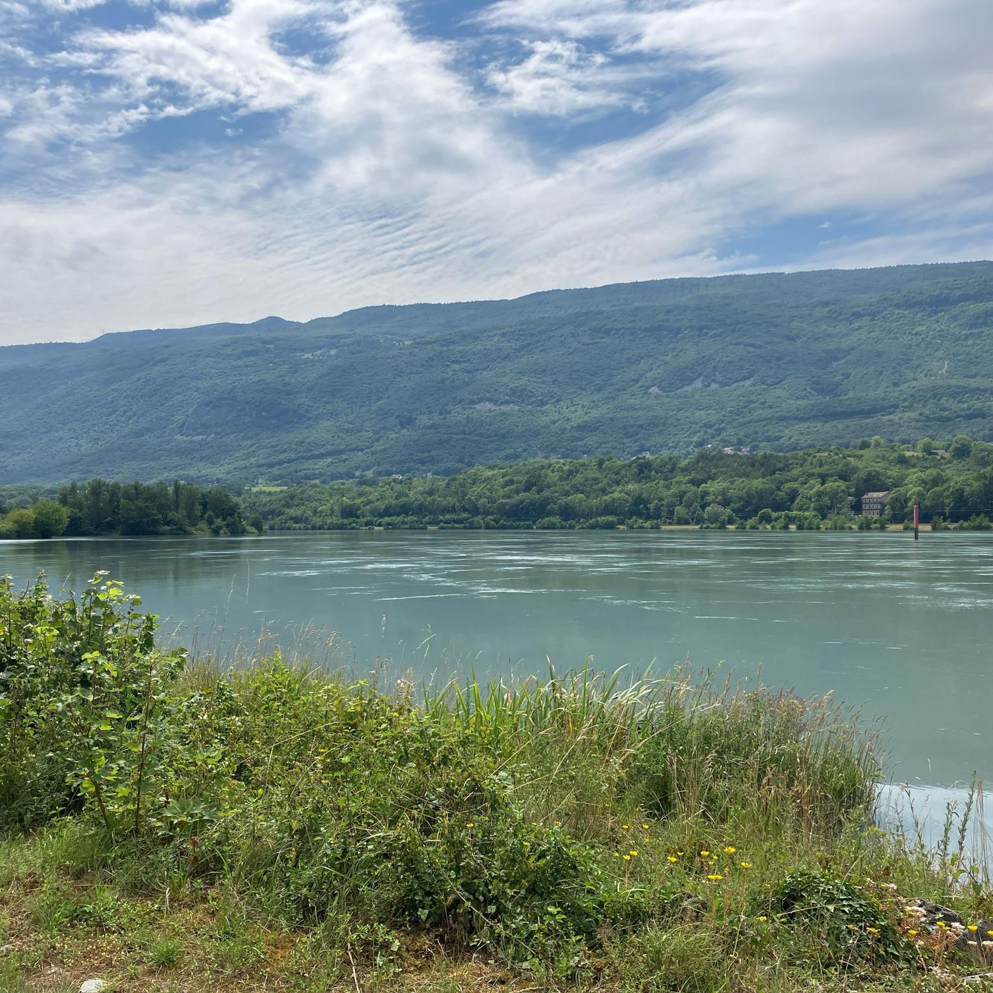
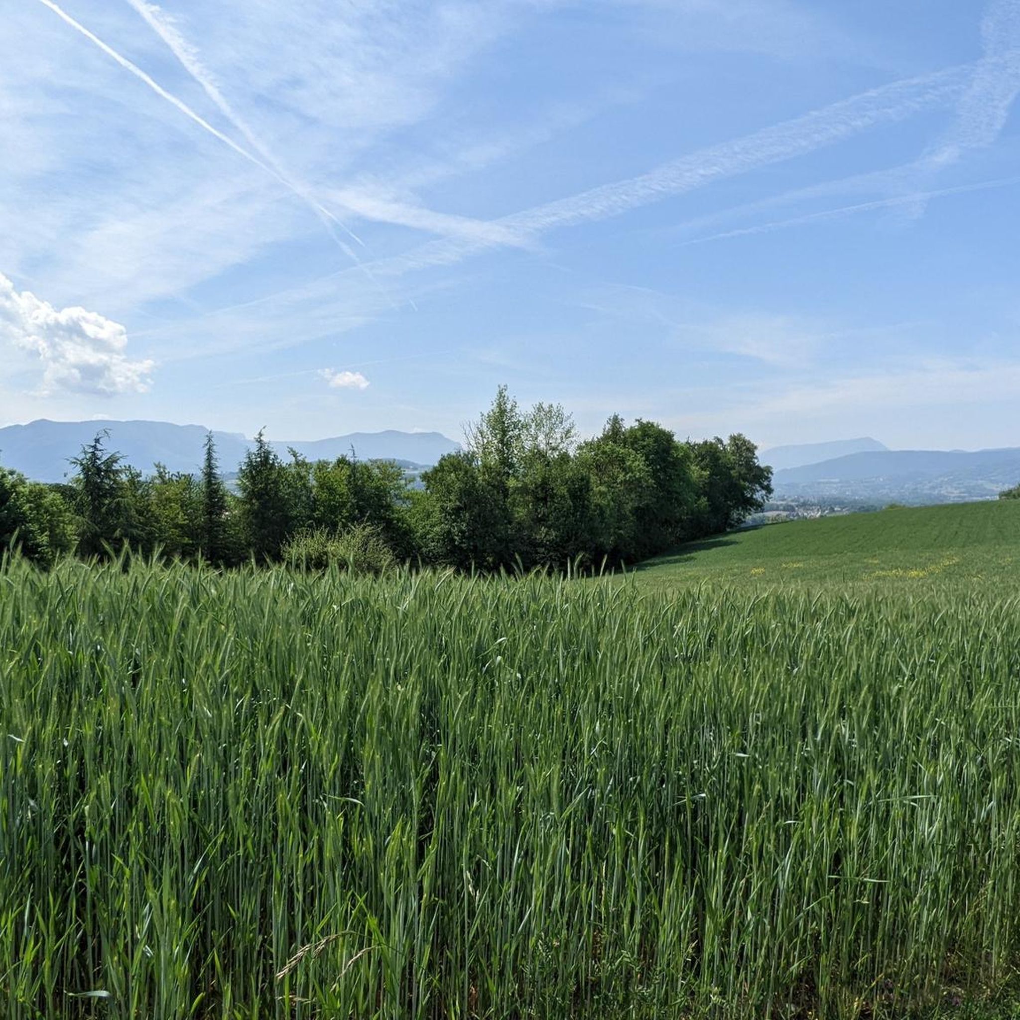
Jogging routes around Marigny-Saint-Marcel are situated in the Haute-Savoie region of France, within the Albanais, at the foothills of the Alps. The area's elevation ranges from 340 to 504 meters above sea level, offering varied terrain for runners. This topography includes gentle hills, local pathways, and open fields, providing diverse options for running. The region is characterized by preserved landscapes and countryside at the foot of the Bauges massif, offering an environment for outdoor activities.
Best jogging routes around Marigny-Saint-Marcel
…Last updated: July 1, 2026
5.0
(1)
139
runners
10.4km
01:17
170m
170m
Moderate run. Good fitness required. Mostly paved surfaces. Suitable for all skill levels.
33
runners
13.5km
01:26
60m
60m
Moderate run. Good fitness required. Mostly paved surfaces. Suitable for all skill levels.

Sign up for free
5.0
(1)
9
runners
5.19km
00:33
20m
20m
Moderate run. Good fitness required. Mostly paved surfaces. Suitable for all skill levels.
5.0
(1)
9
runners
8.86km
00:58
120m
120m
Moderate run. Good fitness required. Mostly accessible paths. Some sure footedness required.
5
runners
8.89km
00:57
140m
140m
Moderate run. Good fitness required. Mostly paved surfaces. Suitable for all skill levels.
Get access to more routes and recommendations from other explorers.
Sign up for free
Already have an account?
Our route recommendations are based on thousands of hikes, rides, and runs completed by other people on komoot.
Start today with a free account
Your next adventure awaits.
Login or Signup


Tips from the Community

A lovely place to take a cool break in the shade, facing the pond.
0
0

The plan brings together different outdoor activities. Unsupervised swimming is permitted. The plan is surrounded by walking paths, with picnic tables and muscle strengthening machines. Fishermen can also find a quiet spot to catch trout, perch or pike.
0
0

This small pond is in a quiet corner of nature straddling the departments of Haute-Savoie and Savoie. It is close to the Etang de Beaumont and the Etang de la Bottière. Great place to rest!
0
0
Frequently Asked Questions
How many running routes are available around Marigny-Saint-Marcel?
There are over 400 running routes in and around Marigny-Saint-Marcel. This includes a diverse selection, with 36 easy routes, 278 moderate routes, and 89 more challenging options, catering to various fitness levels.
What kind of terrain can I expect on jogging routes near Marigny-Saint-Marcel?
The terrain around Marigny-Saint-Marcel is quite varied, offering everything from gentle hills and local pathways to open fields. Situated at the foothills of the Alps, between the Bauges massif and the Rumilly basin, you'll find routes that traverse preserved landscapes and countryside, providing a mix of surfaces for your run.
Are there running routes suitable for beginners in Marigny-Saint-Marcel?
Yes, beginners will find plenty of suitable options. There are 36 easy routes available, perfect for those just starting out or looking for a relaxed run. These paths often feature minimal elevation gain and traverse scenic, gentle landscapes.
Can I find longer distance running trails in the area?
Absolutely. For those looking for a longer run, routes like the Étang de Crosagny loop from Granges offer a substantial 13.5 km (8.4 miles) distance. Many other moderate and difficult routes also provide extended distances for endurance training.
Are there any circular jogging routes available?
Yes, many of the running routes around Marigny-Saint-Marcel are circular, allowing you to start and finish at the same point. A popular example is the Crosagny Pond – Étang de Crosagny loop from Marigny-Saint-Marcel, which is an 8.9 km (5.5 miles) loop.
What natural features or landmarks can I see along the jogging routes?
Jogging routes in the region offer views of diverse natural beauty. You might encounter highlights such as the View from Croix du Chef-Lieu overlooking Lake Annecy, or the serene Plan d'eau de Rumilly. The dramatic Fier Gorge is also nearby, offering a unique natural spectacle.
Are there any historical sites or points of interest to discover while running?
Yes, the region has a rich built heritage. While running through the commune, you might pass by historical landmarks such as the 17th-century Château de Saint-Marcel or the fortified house of Bel-Air, which features a 15th-century sculpted chimney, adding a cultural dimension to your outdoor activity.
What do other runners enjoy the most about jogging in Marigny-Saint-Marcel?
The area is highly rated by the komoot community, with an average score of 4.5 stars from over 130 reviews. Runners often praise the varied topography, including gentle hills and open fields, and the preserved landscapes that offer a tranquil and invigorating experience away from urban hustle.
Are there family-friendly jogging options in Marigny-Saint-Marcel?
Many of the easier and moderate routes are suitable for families, especially those with minimal elevation gain and well-maintained paths. The general countryside and local pathways provide a safe and enjoyable environment for all ages to run together.
Is it possible to access jogging routes using public transport?
While specific public transport details for each trailhead are not provided, the region is generally accessible. For routes starting further afield, it's advisable to check local bus schedules to nearby towns or villages that serve as starting points for trails.
Where can I park my car when accessing jogging routes?
Parking is generally available near the starting points of many routes, especially in or near the villages and hamlets that serve as trailheads. For example, routes like the Running loop from Marigny-Saint-Marcel would typically have parking options within the village itself.
What is the best time of year for jogging in Marigny-Saint-Marcel?
The preserved landscapes and countryside of Marigny-Saint-Marcel are enjoyable throughout much of the year. Spring and autumn offer pleasant temperatures and vibrant scenery, while summer provides longer daylight hours. Even in winter, many paths remain accessible, offering a different kind of beauty, though conditions may vary.
Most popular routes around Marigny-Saint-Marcel
Most popular attractions around Marigny-Saint-Marcel

Get inspired with the komoot mobile app


Explore more
Browse the best Running Trails & Routes in other regions.
