The best running trails around Tonneins
3.6
(18)
351
runners
10
runs
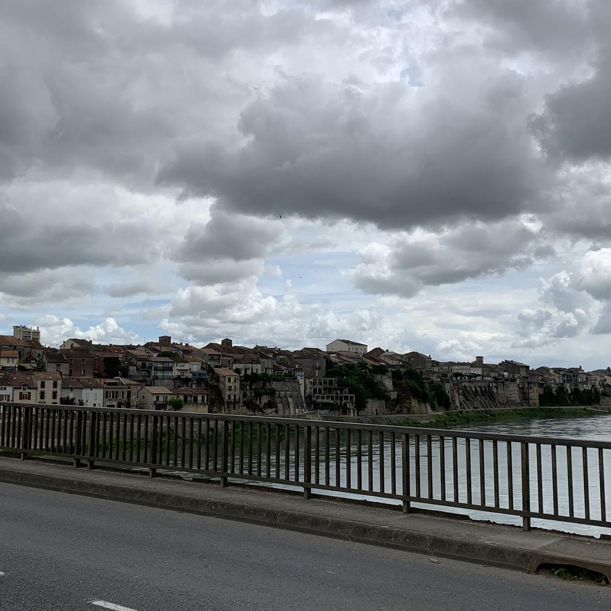
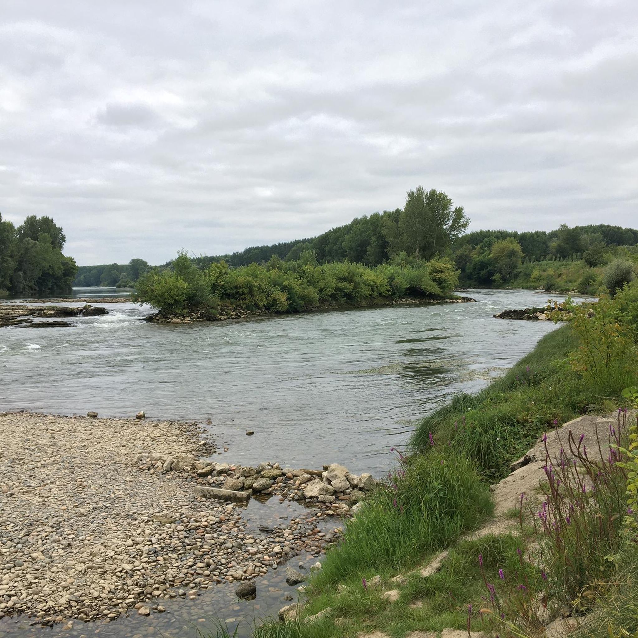
Jogging routes around Tonneins offer a diverse natural environment, primarily shaped by the Garonne River. The region features accessible quays along the river, providing flat and scenic running paths. Old towpaths, particularly those between the river and poplar groves, contribute to a network of peaceful routes amidst nature. The landscape also includes natural sites like Roches de Reculé, offering picturesque views and varied terrain for runners.
Best jogging routes around Tonneins
- The most popular jogging route is Picnic area at…
Last updated: June 26, 2026
42
runners
24.6km
03:07
660m
660m
Hard run. Very good fitness required. Mostly paved surfaces. Suitable for all skill levels.
2.0
(1)
6
runners
13.3km
01:30
30m
30m
Moderate run. Good fitness required. Mostly paved surfaces. Suitable for all skill levels.

Sign up for free
3
runners
9.54km
00:59
10m
10m
Moderate run. Good fitness required. Mostly paved surfaces. Suitable for all skill levels.
3
runners
16.0km
01:39
40m
40m
Hard run. Very good fitness required. Mostly paved surfaces. Suitable for all skill levels.
3
runners
13.0km
01:28
190m
190m
Moderate run. Good fitness required. Mostly paved surfaces. Suitable for all skill levels.
Get access to more routes and recommendations from other explorers.
Sign up for free
Already have an account?
Our route recommendations are based on thousands of hikes, rides, and runs completed by other people on komoot.
Start today with a free account
Your next adventure awaits.
Login or Signup

Tips from the Community

Perfect for a little break by the canal. 2 benches, hoops to put bikes on and a trash can. But no tables or water tap.
1
0

Quiet and peaceful spot to take a break. With wooden tables for picnicking with a view of the Canal des Deux-Mers.
0
0

Small harbor with resto on the bike path. More information: https://de.wikipedia.org/wiki/Villeton?wprov=sfla1
2
0

Benches and storage for bikes, right on the canal. That's all it takes for a short stop.
1
0
A nice place for a rest. Plenty of seating, but also a restaurant with pizza and the like.
1
0

Ideal for a picnic with a beautiful view.
0
1

A beautiful view of the canal below. You can continue on the Scandiberique cycle path.
1
0

Sail along the canal in a houseboat.
0
1
Frequently Asked Questions
How many running routes are available around Tonneins?
There are over 60 dedicated running routes around Tonneins, catering to various fitness levels. This includes 3 easy routes, 51 moderate routes, and 10 difficult routes, ensuring options for every runner.
What kind of terrain can I expect on jogging trails in Tonneins?
Jogging routes in Tonneins primarily feature a diverse natural environment shaped by the Garonne River. You'll find accessible quays along the river offering flat and scenic paths, as well as old towpaths (Chemins de Halage) that provide peaceful routes amidst nature and poplar groves. Some routes, like the Canal-side rest area – Canal view loop from Réserve naturelle de l'étang de la Mazière, are mostly paved, while others offer more varied terrain, including natural sites like Roches de Reculé with picturesque views.
Are there any family-friendly running routes in Tonneins?
Yes, Tonneins offers several routes suitable for families. The flat and scenic paths along the Garonne River quays and the old towpaths are generally well-suited for a relaxed run or walk with children. While specific 'family-friendly' routes aren't explicitly tagged, the 3 easy routes available are a great starting point for families looking for less challenging options.
Can I find routes with river views in Tonneins?
Absolutely! The Garonne River is a central feature of Tonneins, and many running routes offer magnificent river views. The quays overlooking the Garonne provide pleasant jogging paths, and routes like the View of the Garonne River loop from Tonneins specifically highlight this scenic aspect.
What do other runners say about the trails in Tonneins?
The running routes in Tonneins are highly rated by the komoot community, with an average score of 3.4 stars from more than 10 reviews. Over 350 runners have used komoot to explore the varied terrain, often praising the serene experience along the Garonne River and the peaceful natural settings.
Are there any circular running routes available?
Yes, many of the running routes around Tonneins are circular, allowing you to start and finish at the same point. Examples include the challenging Picnic area at the summit loop from Calot and the moderate Running loop from Tonneins, both designed as loops for convenience.
What natural features or landmarks can I see while running in Tonneins?
While jogging in Tonneins, you can enjoy several natural features and nearby attractions. The Garonne River itself is a prominent feature, with its quays and old towpaths offering scenic views. You might also encounter the natural site of Roches de Reculé, known for its picturesque views. Nearby attractions include the Canal Latéral à la Garonne, the Buzet-sur-Baïse Lock, and the Historic Center of Clairac, offering glimpses into the region's heritage and waterways.
Are there any challenging running routes for experienced runners?
Yes, for experienced runners seeking a challenge, Tonneins offers 10 difficult routes. A notable option is the Picnic area at the summit loop from Calot, a 24.4 km trail with significant elevation gain, taking approximately 3 hours and 5 minutes to complete. Another difficult route is the Canal view – Canal-side rest area loop from Tonneins, which is 16.1 km long.
Are the running trails in Tonneins suitable for dogs?
While specific 'dog-friendly' designations are not provided, many natural trails, especially the old towpaths and riverside routes, are generally suitable for running with dogs, provided they are kept on a leash and you follow local regulations regarding pet waste. Always ensure your dog is well-behaved and that you respect other trail users.
What is the typical duration for running routes in Tonneins?
The duration of running routes in Tonneins varies widely depending on the distance and difficulty. For example, a moderate 13.4 km route like the Canal-side rest area – Canal view loop from Réserve naturelle de l'étang de la Mazière might take around 1 hour 25 minutes, while a more challenging 24.4 km route such as the Picnic area at the summit loop from Calot could take over 3 hours.
Are there shaded sections on the running routes in Tonneins?
Yes, some running routes in Tonneins offer shaded sections, particularly those along the old towpaths that run between the Garonne River and poplar groves. These shaded areas can enhance comfort, especially during warmer periods, providing a more pleasant running experience.
Most popular attractions around Tonneins

Get inspired with the komoot mobile app


Explore more
Browse the best Running Trails & Routes in other regions.
