The best walks and hikes around Aiguillon
4.4
(145)
679
hikers
55
hikes
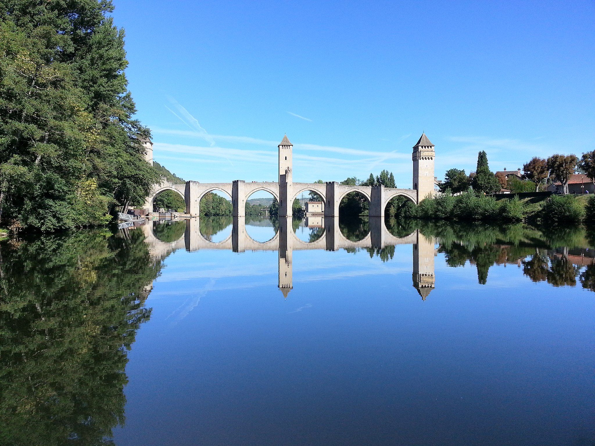
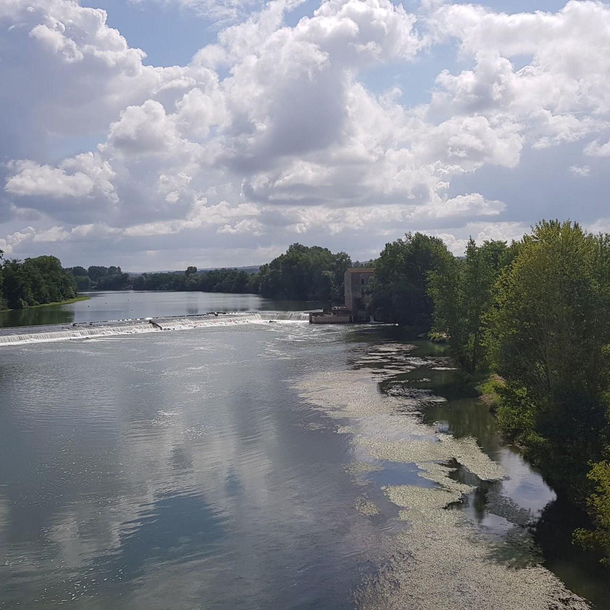
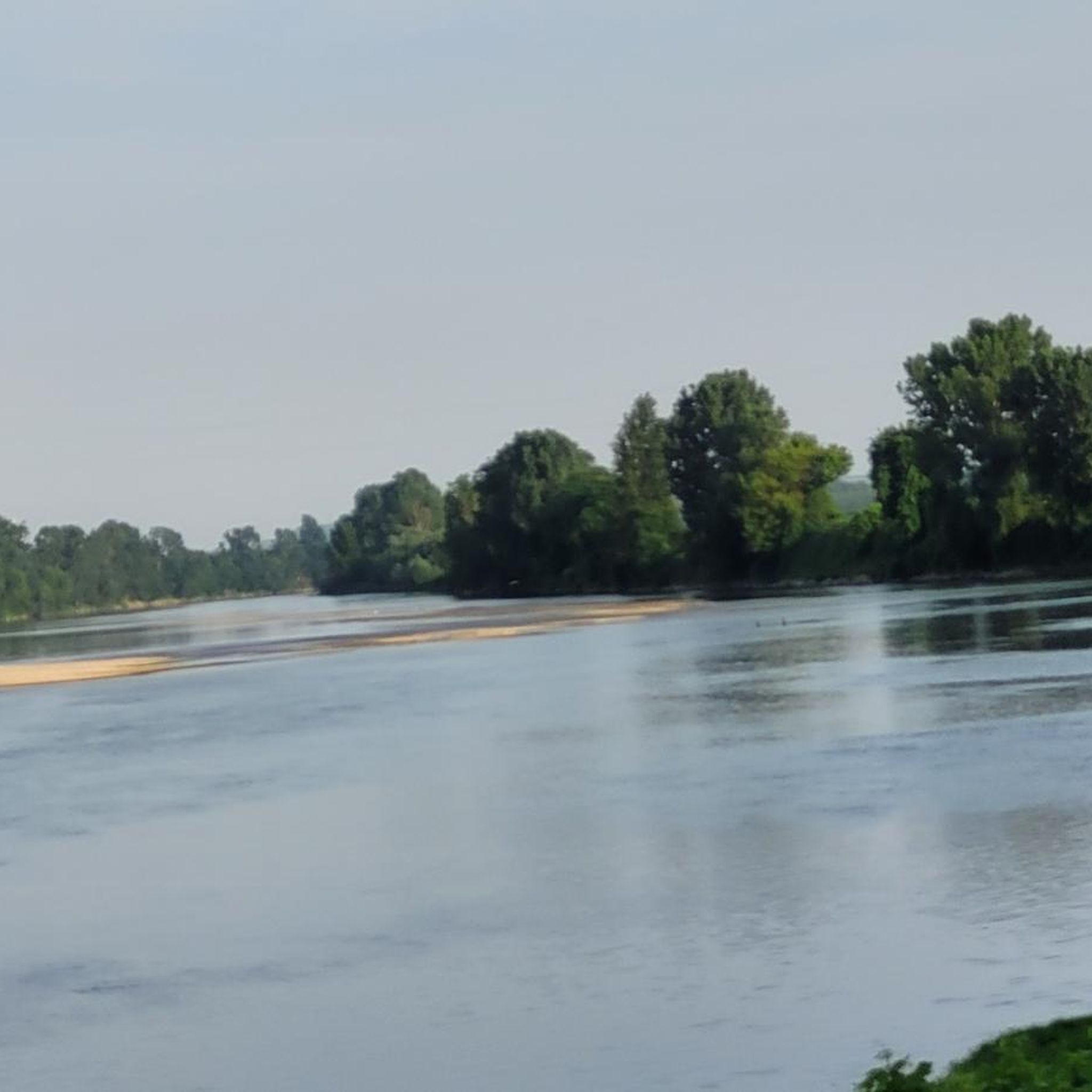
Hiking around Aiguillon offers trails through the confluence of the Garonne and Lot rivers, characterized by river valleys, agricultural landscapes, and gentle hills. The region features a network of paths that explore the waterways and surrounding countryside. These hiking trails provide opportunities to experience the natural and historical elements of the Lot-et-Garonne department.
Best hiking trails around Aiguillon
- The most popular hiking route is Buzet-sur-Baïse and Buzet Castle - loop, a 7.5 miles (12.1 km) moderate trail that takes…
Last updated: October 5, 2026
4.4
(7)
23
hikers
12.1km
03:13
120m
120m
Moderate hike. Good fitness required. Mostly accessible paths. Sure-footedness required.
3
hikers
3.91km
01:00
20m
20m
Moderate hike. Great for any fitness level. Mostly accessible paths. Sure-footedness required.

4.0
(1)
11
hikers
6.08km
01:45
150m
150m
Easy hike. Great for any fitness level. Easily-accessible paths. Suitable for all skill levels.
4.0
(1)
13
hikers
Moderate hike. Good fitness required. Easily-accessible paths. Suitable for all skill levels.
11
hikers
Moderate hike. Good fitness required. Easily-accessible paths. Suitable for all skill levels.
Get access to more routes and recommendations from other explorers.
Already have an account?
Our route recommendations are based on thousands of hikes, rides, and runs completed by other people on komoot.
Start today with a free account
Your next adventure awaits.

Other adventures around Aiguillon

Tips from the Community


The Buzet-sur-Baïse river stop is ideal for taking a break along the Canal Lateral à la Garonne. Perfect for cyclists, with plenty of supplies to stock up on!
0
0

Perfect for a short stop. Tables in the shade, a very pleasant setting near the Canal. Possibility to buy food and drinks at the harbor master's office (be careful it is not always open), toilets (reserved for customers of the harbor master's office 🙄) The village of Buzet is not very far, there are quite a few amenities.
1
0

Wikipedia: The first mention of Buzet is in a charter of Bernard Guilhem, Count of Gascony from 997 to 1009, which confirms the gift made by his father to the Abbey of Saint-Sever of three churches and a forest in the jurisdiction of Buzet. But it is not then a question of the castle. This appeared for the first time when Bernard Guilhem's successor, Sancho de Gascogne (1009-1032), offered the monks of Saint-Pierre de Condom his "domain (curtem) named Buzet and the castle (castellum) that he himself had fortified in it, with all his farms, vineyards, woods, meadows, pastures, wet and dry, cultivated and uncultivated (…)1”. As the text specifies, the Count of Gascony had himself ordered the fortification of a previous residence, which means that he can be considered without too much doubt as the founder of the Château de Buzet.
0
0
Many trails are located around the castle of Buzet .
0
0
Confluence of the main rivers in department 47 .
0
1
High steep limestone formations
0
1
Ideal for a picnic with a beautiful view.
0
1
Frequently Asked Questions
How many hiking trails are available around Aiguillon?
There are over 50 hiking trails around Aiguillon, offering a variety of experiences. The region features 24 easy routes, 27 moderate routes, and 2 more challenging options, catering to different fitness levels.
Are there easy or family-friendly hiking options in Aiguillon?
Yes, Aiguillon offers 24 easy hiking routes suitable for families. A good option for a shorter, gentle walk is the Tour of Aiguillon and the Lot, which is a moderate 2.4-mile (3.9 km) path offering views of the Lot river and the town.
What kind of terrain can I expect on hikes around Aiguillon?
Hiking around Aiguillon is characterized by river valleys, agricultural fields, and gentle inclines. Trails often follow the waterways, such as the Garonne and Lot rivers, providing a mix of natural and cultivated landscapes.
Are there any circular walks available in Aiguillon?
Yes, many routes around Aiguillon are circular. For example, the Buzet-sur-Baïse and Buzet Castle - loop is a popular 7.5-mile (12.1 km) moderate trail that explores the town and its historic castle in a loop.
What are some interesting places to explore or landmarks to see along the trails?
Many trails offer views of the confluence of the Garonne and Lot rivers. You can also discover man-made structures like the Canal Latéral à la Garonne and the Buzet-sur-Baïse Lock. The Port of Buzet – Buzet-sur-Baïse Lock loop from Buzet-sur-Baïse is a great route to experience these riverine features.
What do other hikers enjoy the most about hiking in Aiguillon?
The area is highly rated by the komoot community, with an average score of 4.5 stars from over 100 reviews. Hikers often praise the diverse landscapes, including river views and agricultural scenery, as well as the well-maintained paths suitable for various skill levels.
Are there any routes that offer good viewpoints?
Yes, some routes lead to elevated spots offering panoramic views of the surrounding countryside. The Picnic area at the summit – Cross of Pech-de-Bère loop from Nicole is an easy route that includes a summit picnic area, likely offering good vistas.
What is the typical duration for hikes in Aiguillon?
Hikes in Aiguillon vary in length and duration. Shorter routes like the Tour of Aiguillon and the Lot can be completed in just over an hour, while longer moderate trails such as the Picnic area at the summit – Cross of Pech-de-Bère loop from La Gourgue can take around 3 hours.
Is Aiguillon suitable for dog-friendly walks?
The region's trails, characterized by river valleys and agricultural landscapes, are generally suitable for walks with dogs, provided they are kept under control and local regulations are followed. Many paths are unpaved and pass through natural settings.
What is the best time of year to go hiking in Aiguillon?
Aiguillon can be enjoyed throughout much of the year. Spring and autumn offer pleasant temperatures and vibrant scenery. Summer can be warm, making early morning or late afternoon hikes ideal, especially along shaded riverbanks. Winter hiking is also possible, with milder conditions compared to more northern regions.
Are there cafes or places to eat near the hiking trails?
Many trails pass through or near towns like Aiguillon and Buzet-sur-Baïse, where you can find local cafes, restaurants, and shops to refuel. It's always a good idea to check opening hours, especially in smaller villages.
Most popular attractions around Aiguillon

Get inspired with the komoot mobile app


Explore more
Browse the best Hikes in other regions.
