The best walks and hikes around Calignac
4.5
(100)
604
hikers
56
hikes
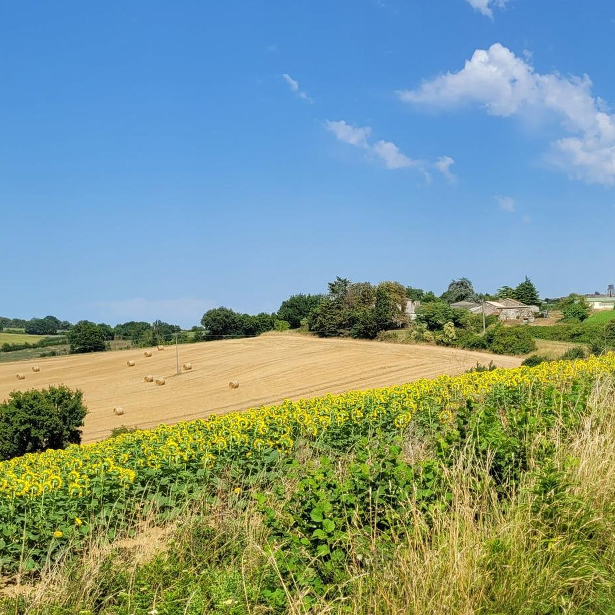
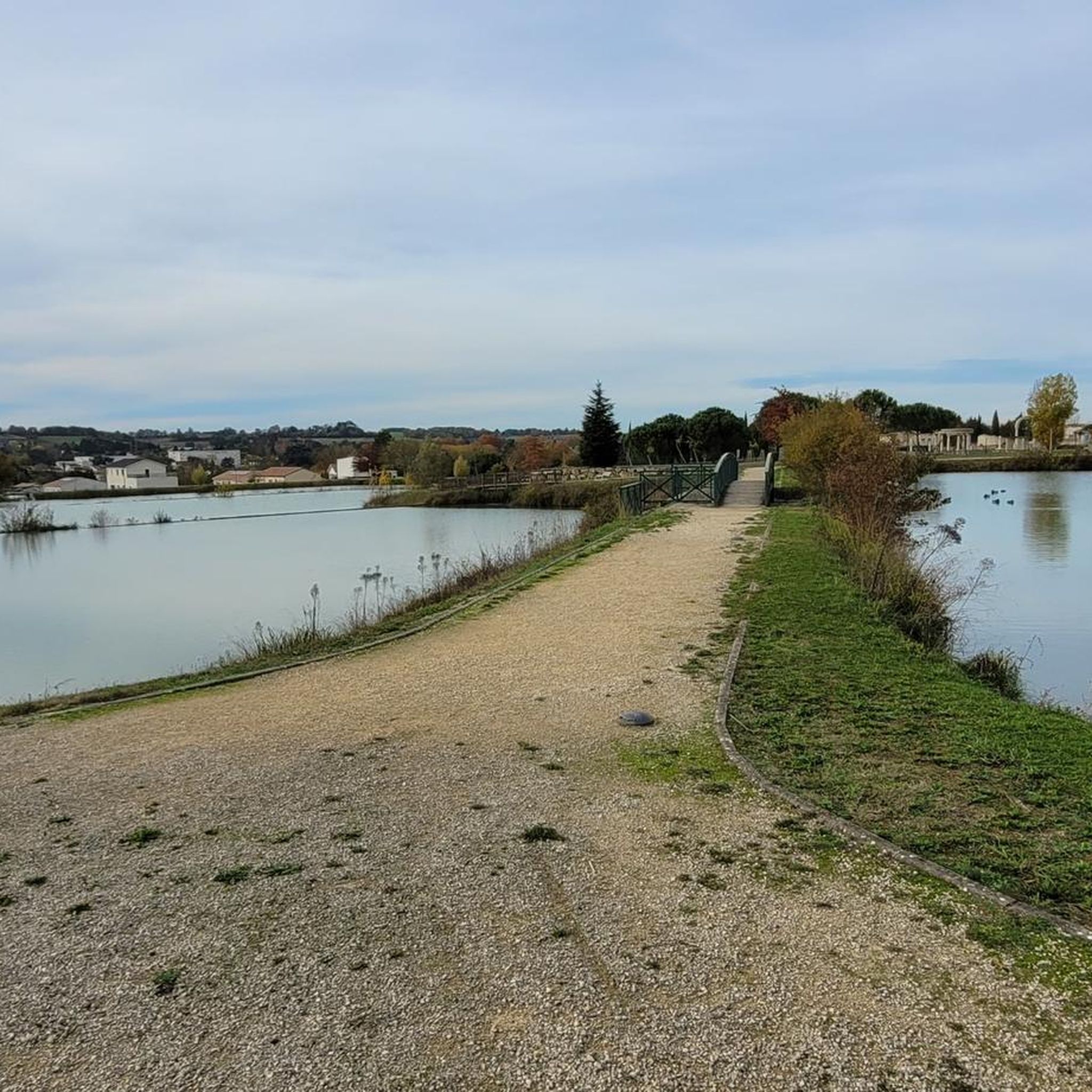
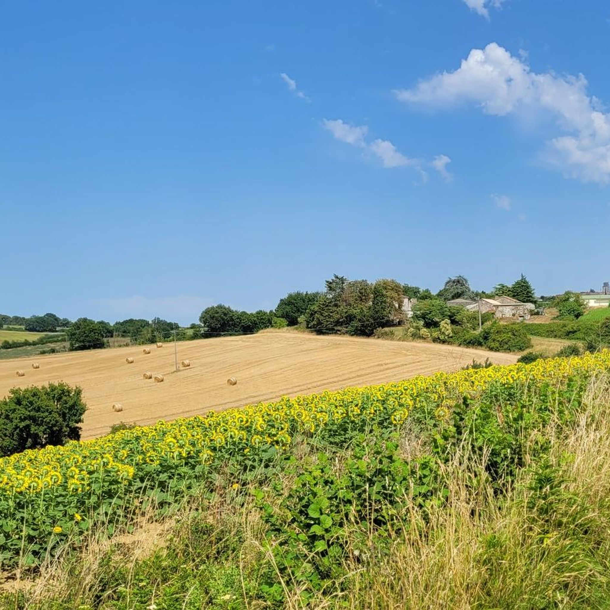
Hiking around Calignac offers exploration of the preserved rural landscapes within the Lot-et-Garonne department of south-western France. The area is characterized by its agricultural environment, the serene Auvignon River, and numerous panoramic viewpoints across the countryside. Hikers can encounter historical elements such as traditional wash houses, ancient bridges, and traces of medieval structures, integrating cultural interest with natural beauty.
Best hiking trails around Calignac
- The most popular hiking route is The Baïse – View of Nérac loop from Nérac, a 6.8 miles (10.9 km) moderate trail that takes about 2 hours 58 minutes to complete, offering views of the Baïse river and Nérac.
- Another top favourite among local hikers is Pont de Nérac – Foulon Garden loop from Nérac, an easy 3.9 miles (6.2 km) path. This route features gentle terrain and passes by the Foulon Garden.
- Local hikers also love the Baïse Bridge in Nérac – Port of Nérac loop from Nérac, a 4.8 miles (7.7 km) trail leading through riverside scenery, often completed in about 2 hours.
- Hiking around Calignac is defined by rural landscapes, river paths along the Auvignon and Baïse, and elevated viewpoints. The network offers options for different ability levels, from easy strolls to moderate excursions.
- The routes in Calignac are highly rated by the komoot community with an average score of 4.2 stars from over 90 reviews. More than 600 hikers have used komoot to explore Calignac's varied terrain.
Last updated: July 8, 2026
4.5
(11)
42
hikers
10.9km
02:57
150m
150m
Moderate hike. Good fitness required. Easily-accessible paths. Suitable for all skill levels.
4.3
(3)
28
hikers
5.76km
01:30
40m
40m
Easy hike. Great for any fitness level. Easily-accessible paths. Suitable for all skill levels.

Sign up for free
4.5
(2)
33
hikers
3.53km
00:56
30m
30m
Easy hike. Great for any fitness level. Easily-accessible paths. Suitable for all skill levels.
4.7
(3)
21
hikers
7.62km
01:57
30m
30m
Easy hike. Great for any fitness level. Easily-accessible paths. Suitable for all skill levels.
4.5
(2)
18
hikers
7.90km
02:02
40m
40m
Moderate hike. Good fitness required. Easily-accessible paths. Suitable for all skill levels.
Get access to more routes and recommendations from other explorers.
Sign up for free
Already have an account?
Our route recommendations are based on thousands of hikes, rides, and runs completed by other people on komoot.
Start today with a free account
Your next adventure awaits.
Login or Signup

Tips from the Community

The Château Henri IV of Nérac, former residence of the lords of Albret, bears witness to the city's rich Renaissance past. Overlooking the Baïse, it was one of the living places of the future King Henri IV and remains today a must-see to discover the history of Albret.
0
0

A primitive building dedicated to Saint Mark existed from the medieval period. It was destroyed by the Protestants in 1562. The current church succeeded it in 1868, and was designed by the architect Verdier. It is dedicated to Our Lady. In the shape of a Latin cross, it has a single ribbed vault. The bell tower, perched on the ridge of the west facade, is topped with a long spire. Above the portal, the facade is pierced by three lancet stained-glass windows. It is adorned with two pinnacles.
0
0
A primitive building was consecrated by Pope Urban II in 1096. It was the priory church of the Benedictines. It became a parish church after the priory was sold in 1666. In 1697, the bell tower collapsed. In 1749, the church was in danger of collapse. The current church was rebuilt between 1758 and 1785. During the Revolution, the church became the "supreme temple." In 1855, the bell towers were added and the sacristy was rebuilt. The church, in the shape of a Latin cross, includes a nave. Its façade is adorned with four fluted pilasters with Ionic capitals supporting a triangular pediment. The stained-glass windows are from the 19th century. They depict scenes from the life of Saint Joseph, the Agony of Christ, scenes from the life of the Virgin, Pentecost, Saint Louis, Saint John the Baptist, and the Immaculate Conception. The prophets and kings of Israel can be seen: Abraham, Daniel, Abel, Noah, Moses, Elijah, Aaron, Melchizedek, sibyls, as well as a Virgin and Child, a Pietà, and the coat of arms of Abbot de Vivie.
0
1
The history of the former royal warren is deeply linked to the family of Henry IV, but its legacy dates back to Antiquity. During the Gallo-Roman period, in the 4th or 5th century, a villa stood on the banks of the Baïse River. Excavations conducted in 1832 uncovered numerous mosaics, attesting to the building's presence. Between these two periods, the park underwent numerous developments. At the beginning of the 16th century, Henry I of Albret acquired the land to create a warren and a garden at the foot of the château, accessible only to the royal family. When Henry IV and his wife, Marguerite de Valois, inherited the site, they created the current promenade, known as the "3,000 paces," which runs along the Baïse. But the Wars of Religion and the numerous floods of the river after the king's death would permanently damage the historical and natural heritage. Damaged by the numerous floods of the Baïse in 1909, the park became the first listed site in the Aquitaine region, which enabled the funding of work to ensure its preservation. In 2020, this classification was extended to the other bank, where the Bains du Roy are located.
0
0
Nérac Castle was founded in the 14th century, within a medieval town surrounded by walls and backing onto the Baïse River. Beginning in 1491, Alain d'Albret modernized this first tower and had three wings built. The west wing included the drawbridge and service rooms, the north wing housed Jeanne d'Albret's apartments, and the east wing constituted the main building of the castle. It was in this castle that Marguerite de Navarre, sister of Francis I and author of the Heptaméron, lived. A committed humanist, she brought Jacques Lefèvre d'Étaples, nicknamed the French Erasmus, to Nérac. Jeanne d'Albret, her daughter, was also sensitive to the ideas of her time and brought Théodore de Bèze to her court, before converting to Protestantism. It was in this context that Henry III of Navarre, the future King Henry IV, lived. He lived in this château for about ten years with Queen Marguerite de Valois, known as Queen Margot. The latter was responsible for the creation of the 3000-Step Avenue in the Parc de la Garenne, along the Baïse. This avenue, punctuated over the years with new fountains, was then surrounded by walls and accessible from the château by a bridge. The years following the assassination of Henri IV by Ravaillac in 1610 marked the decline of the château, first due to royal reprisals against Protestants and then due to the destruction caused by the French Revolution in 1793, when the château was declared national property. After the revolutionary destruction, only the north wing of the château remained, with its twisted columns so characteristic of the Renaissance style. The château was divided into lots and inhabited by several owners. Gradually, the municipality became interested in restoring the château, and a restoration project was drawn up by Eugène Viollet-le-Duc, whose sketches are on display in the museum. However, it wasn't until 1925 that the city became the owner of the entire building and began a restoration project to house the municipal museum. Since then, the royal residence and writer's home, the Château-Musée Henri IV, has offered visitors a permanent exhibition dedicated to Henri IV and the d'Albret family on the first floor, and the art of living during the Renaissance on the ground floor through various themes.
0
0


The Baïse river is navigable over 62km from April 1st to November 1st. Beautiful, wild and relaxing, it lets us go with the flow. Its major asset: its tranquillity. Cruising speed is limited to 6km/h. Boaters cross Gascony at a slow pace, the departments of Gers and Lot-et-Garonne to stop over in the territories of Albret and Ténarèze. Nérac, one of the most beautiful river ports in France, welcomes you for a colorful stopover!
0
0

The Baïse is a fairly abundant river. The amount of water flowing into the catchment area is 285 millimeters per year, which is certainly slightly lower than the average for France as a whole for all the basins together (320 mm/year ), but clearly higher than most of the waterways of the Gers . The specific flow (or Qsp) reaches 9.0 liters per second and per square kilometer of basin.
3
0
Frequently Asked Questions
What types of hiking trails can I find around Calignac?
Calignac and the surrounding Albret region offer a diverse network of trails. You'll find paths through preserved rural landscapes, along the Auvignon and Baïse rivers, and routes leading to elevated viewpoints. The area provides options for various skill levels, from easy strolls to more moderate excursions. There are over 50 hiking routes available, with a good balance of easy and moderate options.
Are there any easy, family-friendly hikes in the Calignac area?
Yes, Calignac is well-suited for family-friendly walks. Many trails feature gentle terrain, such as the local 5.8 km loop trail starting from the town hall square, which is easy to navigate and suitable for all ages. This path allows you to discover traditional wash houses, ancient bridges, and a dovecote. For another easy option, consider the Port of Nérac – The Baïse loop from Nérac, which is just over 3.6 km.
Can I bring my dog on the hiking trails near Calignac?
Many of the trails around Calignac are suitable for walking with dogs, especially those that traverse the rural landscapes and river paths. It's always recommended to keep your dog on a leash, particularly when passing through agricultural areas or near livestock, and to respect local regulations. The natural environment provides plenty of space for you and your canine companion to enjoy.
What kind of historical landmarks or natural features can I expect to see while hiking?
Hiking around Calignac offers a blend of natural beauty and historical intrigue. You can discover traces of the commune's past, including remains of medieval ramparts, an old gate, and a well from a 13th-century feudal castle. The 19th-century Saint Etienne parish church is also a notable landmark. Natural features include the serene Auvignon River and numerous panoramic viewpoints offering expansive vistas of the Lot-et-Garonne landscape. Nearby, you can explore attractions like the Nérac Old Town and Château d'Henri IV or the Port of Nérac.
Are there any circular hiking routes available?
Yes, the Calignac area features several circular routes, which are ideal for exploring without retracing your steps. The dedicated 5.8 km local loop trail, starting from the town hall square, is a prime example, offering a complete circuit of the local countryside. Another option is The Baïse – Port of Nérac loop from Nérac, which is an easy 7 km circular path.
What is the best time of year to go hiking in Calignac?
The Lot-et-Garonne department, where Calignac is located, generally experiences pleasant weather for hiking from spring through autumn. Spring brings blooming landscapes, while autumn offers comfortable temperatures and beautiful foliage. Summer can be warm, so early morning or late afternoon hikes are often preferred during this season. The region's rural charm can be enjoyed throughout these periods.
How long do hikes typically take around Calignac?
Hiking durations vary depending on the route's length and your pace. Many of the easy trails, like the local 5.8 km loop, can be completed in about 2 hours. Moderate routes, such as the 7 km The Baïse – Port of Nérac loop from Nérac, typically take around 2 hours. With 27 easy and 29 moderate routes, you can find options ranging from short strolls to half-day excursions.
Where can I park when visiting hiking trails in Calignac?
For the local Calignac trail, parking is generally available near the town hall square, which serves as the starting point. For trails extending into the wider Albret region, trailheads often have designated parking areas. It's advisable to check specific route details for precise parking information, especially when venturing further afield.
What do other hikers say about the trails in Calignac?
The hiking routes around Calignac are highly regarded by the komoot community, holding an average rating of 4.2 stars from over 90 reviews. Hikers frequently praise the preserved rural landscapes, the serene river paths, and the rewarding panoramic viewpoints. Many appreciate the blend of natural beauty with historical elements found along the trails.
Are there any challenging hiking routes in the Calignac area?
While Calignac is known for its accessible and moderate trails, the broader Albret region offers a wide variety of landscapes, including options for more challenging hikes. Within the immediate Calignac area, there is at least one route classified as difficult, catering to those seeking a more strenuous experience. These trails might feature greater elevation changes or longer distances.
Are there places to eat or stay near the hiking trails?
Calignac, as a charming commune, offers a tranquil setting. For a wider range of amenities, including cafes, pubs, and accommodation, the nearby town of Nérac is a good option. Nérac is a short drive away and provides various services for visitors, making it a convenient base for exploring the hiking trails of the Albret region.
Most popular attractions around Calignac

Get inspired with the komoot mobile app


Explore more
Browse the best Hikes in other regions.
