The best road cycling routes around Chevaline
4.6
(953)
34,534
riders
66
rides
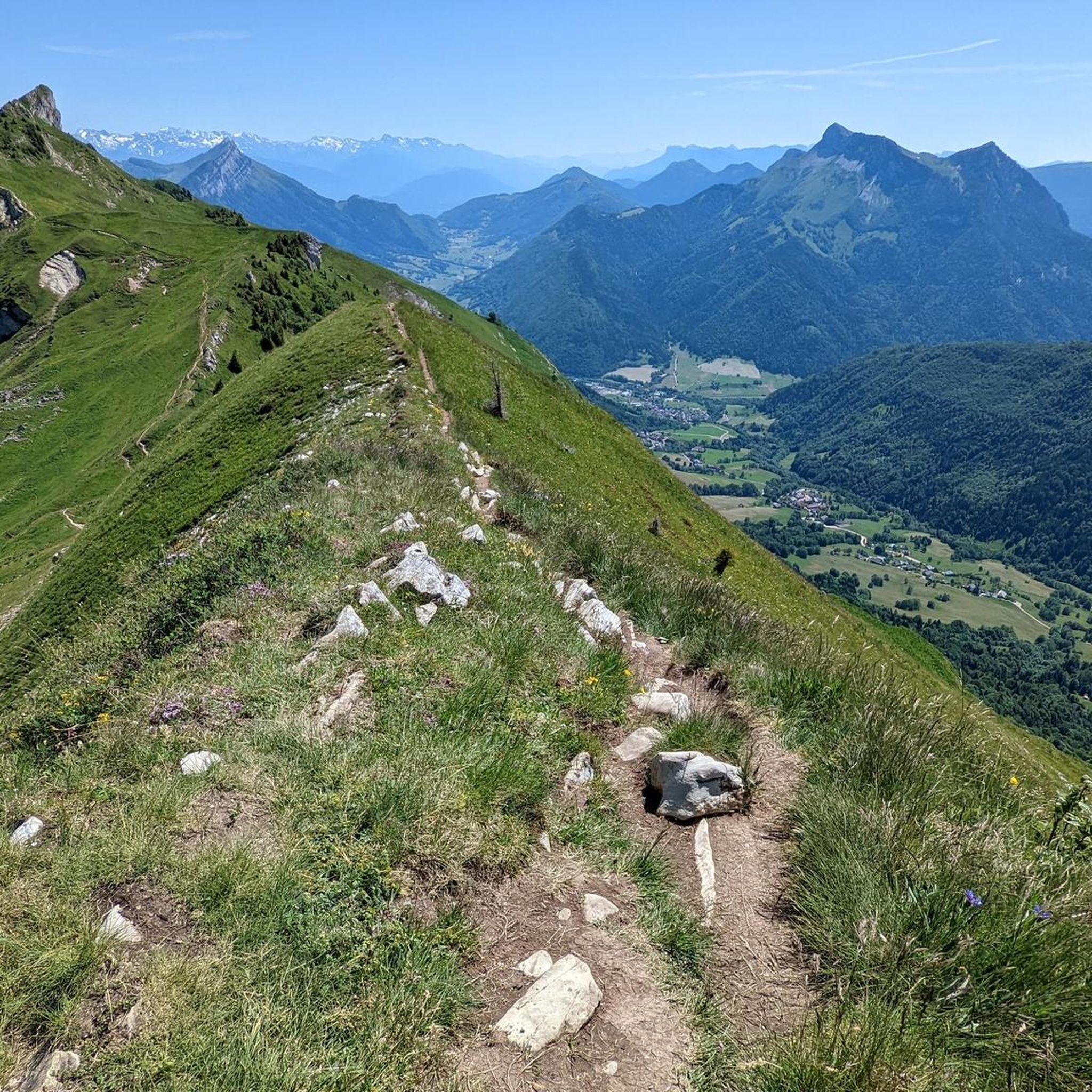
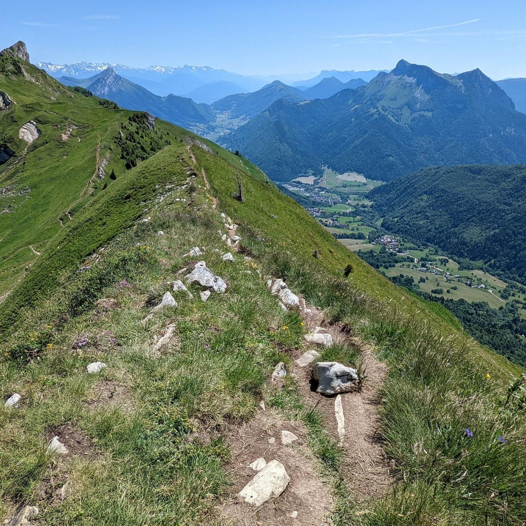
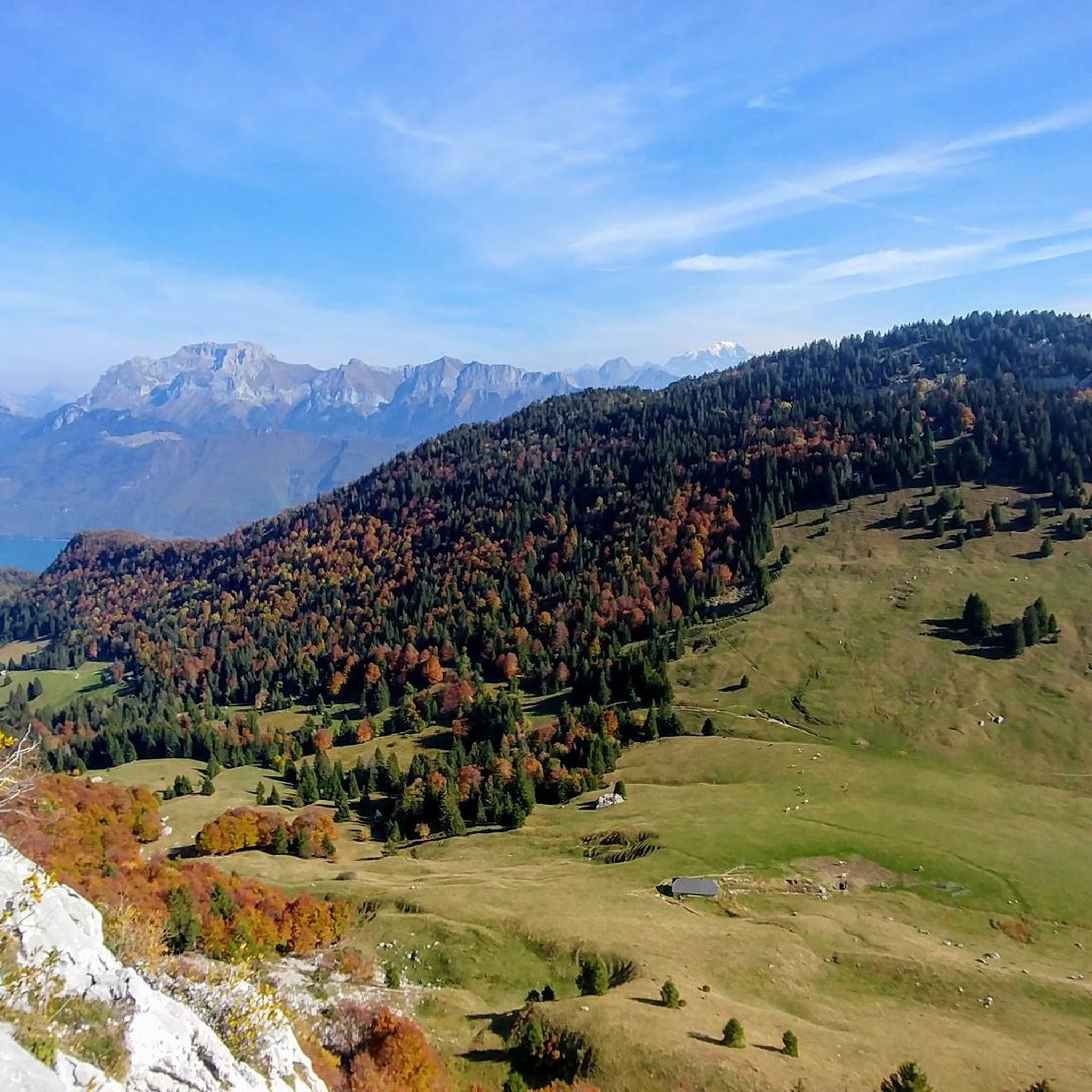
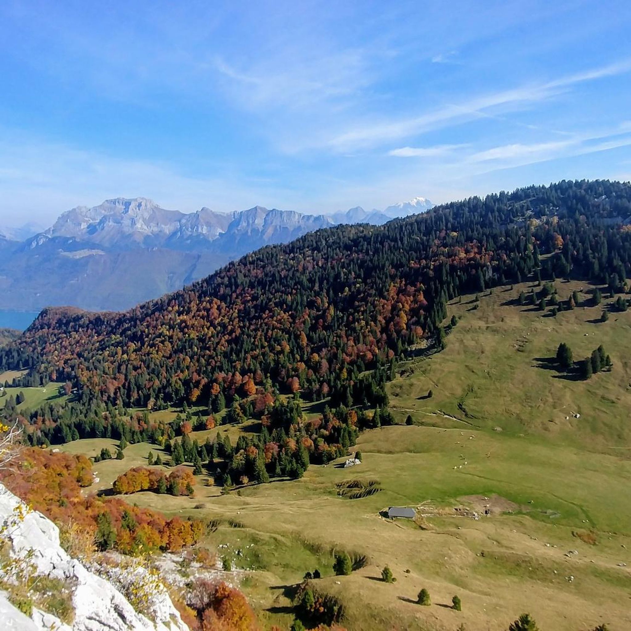
Road cycling routes around Chevaline are situated in the Haute-Savoie region of southeastern France, offering a blend of mountainous terrain and scenic views. The area is characterized by vast forested massifs and varied topography, with significant portions lying above 1,000 meters. Its location at the end of Lake Annecy and within the Bauges Massif Regional Natural Park provides challenging ascents, descents, and access to well-maintained roads with waterside vistas. This environment supports diverse road cycling experiences.
Best road cycling routes…
Last updated: October 15, 2026
4.6
(104)
2,194
riders
49.2km
02:31
800m
800m
Moderate road ride. Good fitness required. Mostly well-paved surfaces and easy to ride.
4.8
(150)
3,786
riders
55.6km
02:22
280m
280m
Moderate road ride. Good fitness required. Some segments of this route may be unpaved and difficult to ride.

4.7
(56)
2,492
riders
65.0km
02:56
680m
680m
Moderate road ride. Good fitness required. Mostly well-paved surfaces and easy to ride.
4.5
(13)
342
riders
37.6km
01:52
590m
590m
Moderate road ride. Good fitness required. Mostly well-paved surfaces and easy to ride.
4.4
(5)
89
riders
62.7km
03:34
1,330m
1,330m
Hard road ride. Very good fitness required. Mostly well-paved surfaces and easy to ride.
Get access to more routes and recommendations from other explorers.
Already have an account?
Our route recommendations are based on thousands of hikes, rides, and runs completed by other people on komoot.
Start today with a free account
Your next adventure awaits.

Tips from the Community

Just a hell to juggle with children, pedestrians, scooters, dogs and
0
0

Small road with great views.
1
0
Nice small pass, decent but steady climb. Great views and a nice restaurant at the pass, Refuge Auberge du Col de l'Arpettaz
3
0
Nice small road, lots of shade, later sunny. Very little traffic, partly nice views, unfortunately no water points.
3
0
Beautiful view of one of the many mountains.
0
0
Small street from Bluffy, beautiful view of the lake.
0
0
Small pass full the main road D909
1
0
Pleasant D12 as an ascent to the Marais.
1
0
Frequently Asked Questions
What kind of terrain can I expect on road cycling routes around Chevaline?
Road cycling around Chevaline offers a diverse landscape, characterized by mountainous terrain with significant portions above 1,000 meters. You'll find a blend of challenging ascents and descents through vast forested massifs, as well as scenic stretches near Lake Annecy. The area is part of the Bauges Massif Regional Natural Park, ensuring well-preserved natural environments.
Are there road cycling routes suitable for beginners or families near Chevaline?
Yes, while Chevaline is known for its mountainous terrain, there are routes suitable for various skill levels. The region offers 11 easy road cycling routes, providing gentler options for beginners or families looking for a more relaxed ride. Many routes around Lake Annecy are also known for their well-maintained, flatter surfaces.
Where can I find parking for road cycling routes in Chevaline?
Parking options are available, particularly near popular starting points for routes. For instance, many cyclists begin their rides from the nature reserve at the southern end of Lake Annecy, which typically offers parking facilities. It's advisable to check specific route details on komoot for recommended parking areas.
Can I reach Chevaline and its cycling routes using public transport with my bike?
Public transport options exist to reach the Chevaline area, particularly from Annecy to towns like Doussard, which is close to Chevaline. Some bus services in the Haute-Savoie region may accommodate bicycles, especially during off-peak hours or with specific bike racks. It's recommended to check the local bus schedules and policies regarding bicycle transport in advance.
What is the best time of year for road cycling in Chevaline?
The best time for road cycling in Chevaline is generally from spring through autumn (April to October). During these months, the weather is typically mild to warm, and mountain passes are clear of snow. Summer offers the warmest temperatures, while spring and autumn provide pleasant conditions with fewer crowds and vibrant scenery. Winter cycling can be challenging due to snow and colder temperatures, especially at higher elevations.
Are there any circular road cycling routes around Chevaline?
Yes, many of the road cycling routes around Chevaline are designed as loops, allowing you to start and finish at the same point. A popular example is the Col du Marais — loop from the nature reserve at the end of Lake Annecy, which offers a scenic circular ride.
What kind of views and landmarks can I expect along the road cycling routes?
The routes offer stunning views of Lake Annecy and the surrounding mountains of the Bauges Massif. You can expect to see natural features like the Angon Waterfall and various viewpoints providing panoramic vistas. Historical landmarks such as the Château de Duingt are also accessible along some routes, adding cultural interest to your ride.
Are there any cafes or places to stop for refreshments along the routes?
Yes, the towns and villages surrounding Chevaline, such as Doussard and Talloires-Montmin, offer various cafes, restaurants, and accommodations where you can stop for refreshments. Many routes, especially those circling Lake Annecy, pass through areas with amenities, making it easy to refuel during your ride.
How many road cycling routes are available in the Chevaline area?
There are over 60 road cycling routes available around Chevaline, catering to a wide range of abilities. This includes 11 easy routes, 39 moderate routes, and 18 difficult routes, ensuring options for every cyclist.
What do other road cyclists enjoy most about cycling in Chevaline?
The road cycling routes around Chevaline are highly rated by the komoot community, with an average score of 4.7 stars from over 700 reviews. Cyclists often praise the region's varied topography, the stunning views of Lake Annecy, and the challenging yet rewarding climbs through the Bauges Massif.
Are there any particularly challenging road cycling routes for experienced riders?
Absolutely. For experienced riders seeking a challenge, Chevaline and its surroundings offer several difficult routes. An example is the Lake Annecy – Forclaz Pass loop from Lathuile, which features significant elevation gain and covers a longer distance, providing a rigorous workout with spectacular mountain scenery.
Can I cycle around Lake Annecy from Chevaline?
Yes, Chevaline's location at the end of Lake Annecy provides excellent access to the popular cycling routes around the lake. You can easily join the well-maintained roads that circle Lake Annecy, offering consistent surfaces and beautiful waterside vistas. A great option is the Lake Annecy – Annecy loop from Doussard, which provides a comprehensive tour.
Most popular routes around Chevaline
Most popular attractions around Chevaline

Get inspired with the komoot mobile app


Explore more
Browse the best Road cycling routes in other regions.
