The best walks and hikes around Crest-Voland
4.6
(225)
2,444
hikers
28
hikes
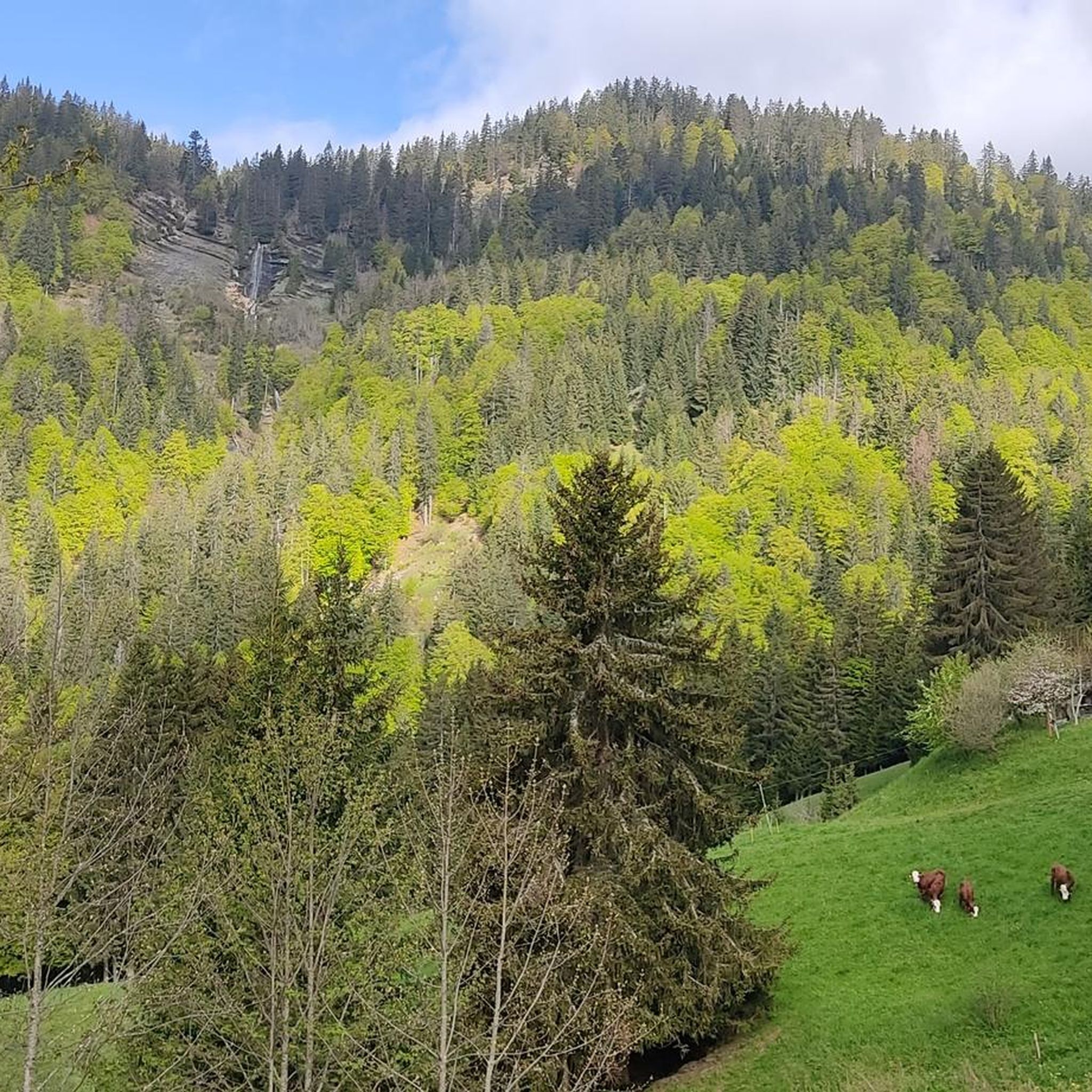
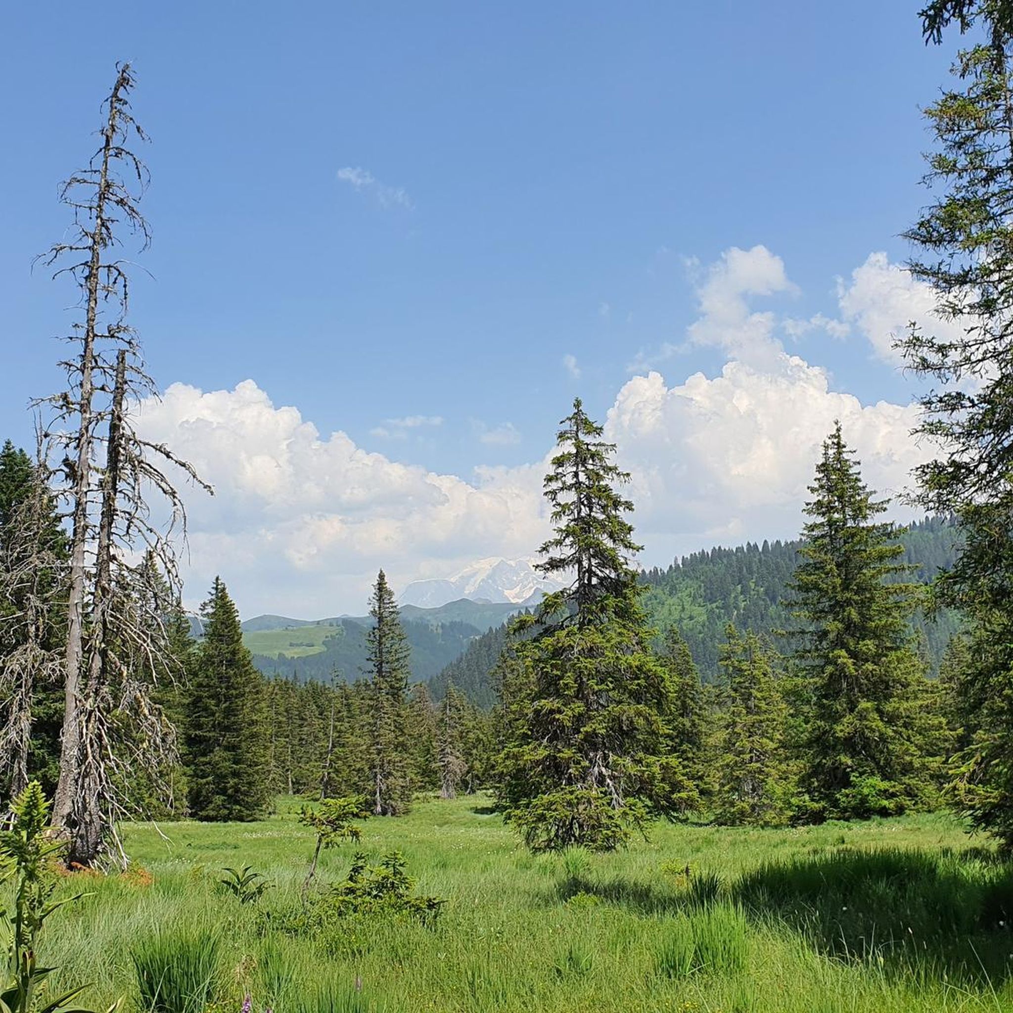
Hiking around Crest-Voland offers access to the mountainous terrain of the French Alps, characterized by forests, alpine meadows, and views of surrounding peaks. The region features varied elevations, including hills and higher mountain slopes, with several lakes and natural reserves. Trails often provide panoramic vistas, including distant views of Mont Blanc and the Aravis mountain range.
Best hiking trails around Crest-Voland
- The most popular hiking route is View of Mont Blanc loop from Réserve naturelle de la Tourbière des Saisies…
Last updated: June 25, 2026
4.9
(18)
209
hikers
Easy hike. Great for any fitness level. Easily-accessible paths. Suitable for all skill levels.
4.8
(20)
161
hikers
7.70km
02:38
380m
380m
Moderate hike. Good fitness required. Easily-accessible paths. Suitable for all skill levels.

Sign up for free
4.8
(24)
123
hikers
13.1km
03:50
360m
360m
Moderate hike. Good fitness required. Easily-accessible paths. Suitable for all skill levels.
4.9
(15)
53
hikers
7.40km
02:09
190m
190m
Moderate hike. Good fitness required. Easily-accessible paths. Suitable for all skill levels.
4.9
(13)
49
hikers
Easy hike. Great for any fitness level. Easily-accessible paths. Suitable for all skill levels.
Get access to more routes and recommendations from other explorers.
Sign up for free
Already have an account?
Our route recommendations are based on thousands of hikes, rides, and runs completed by other people on komoot.
Start today with a free account
Your next adventure awaits.
Login or Signup

Tips from the Community

A beautiful walk, definitely worth doing. Exceptionally beautiful in good snow. You'll reach places skiers can't.
0
0


Beautiful family walk to discover the nature reserve of the Tourbières des Saisies through thematic paths, spread over 2 loops and a connecting path. Attention pedestrian path exclusively, and direction of the course to be respected.
0
0

A body of water in which the sky, fir trees and clouds are reflected. A restaurant allows you to refresh yourself or eat there.
1
0

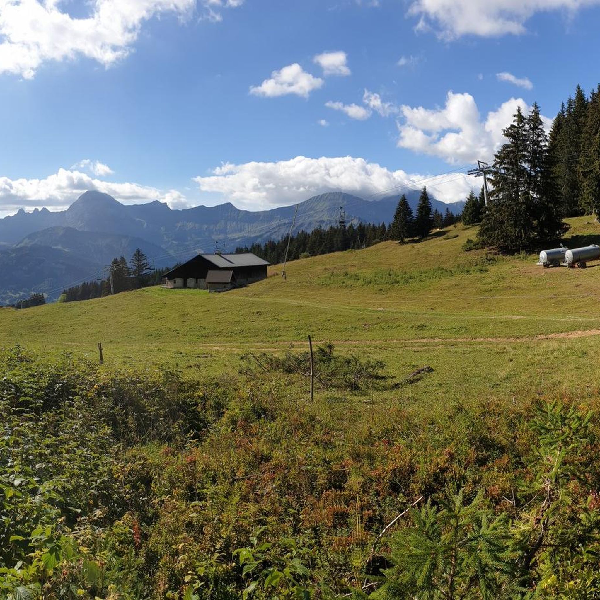
An authentic alpine chalet, the Lachat refuge is a very welcoming place. It is 1,555 meters above sea level and faces Mont Blanc. A beautiful place to spend the night!
0
0

This pretty, quiet village offers you the last café and water fountain before the Col des Saisies.
3
0

Great restaurant with a view of the lake
0
0

Frequently Asked Questions
How many hiking trails are available around Crest-Voland?
There are over 20 hiking routes in the Crest-Voland area, catering to various skill levels. These include 9 easy, 12 moderate, and 2 difficult trails, offering diverse options for exploration.
Are there easy hiking trails suitable for beginners in Crest-Voland?
Yes, Crest-Voland offers several easy routes perfect for beginners. An accessible option is the View of Mont Blanc loop from Réserve naturelle de la Tourbière des Saisies - Beaufortain - Val d'Arly, a 2.6-mile (4.2 km) trail that provides scenic views within a nature reserve.
What kind of views can I expect on hikes around Crest-Voland?
Hiking around Crest-Voland is defined by stunning mountain views, including distant panoramas of Mont Blanc. Trails often pass through alpine meadows and forests, with some routes leading to picturesque lakes like Lac du Mont Lachat.
Are there any circular walks or loop trails in Crest-Voland?
Yes, Crest-Voland features several popular circular walks. The Lac du Mont Lachat – Lachat loop from Crest-Voland is a moderate 4.7-mile (7.6 km) path exploring the area around Lac du Mont Lachat. Another option is the Crest-Voland Village Center – Refuge du Lachat loop from Crest-Voland, a 10.6 km route.
What are some notable landmarks or attractions to see while hiking in Crest-Voland?
While hiking, you can discover various natural landmarks. The region is home to several mountain peaks such as Mont Clocher and Mount Sulens. You might also encounter mountain passes like Col des Aravis or Col des Saisies, offering unique perspectives of the landscape.
What is the best time of year to go hiking in Crest-Voland?
The best time for hiking in Crest-Voland is generally from late spring to early autumn (May to October) when the weather is mild, and trails are clear of snow. Summer offers lush alpine meadows and warmer temperatures, while autumn brings vibrant foliage.
Are there any family-friendly hiking routes in Crest-Voland?
Many of the easy trails in Crest-Voland are suitable for families. The shorter, less strenuous routes, particularly those within the nature reserves, often provide gentle gradients and engaging scenery for all ages.
Can I bring my dog on the hiking trails in Crest-Voland?
Generally, dogs are permitted on many hiking trails in the Crest-Voland area, especially on leash. However, it's always advisable to check specific trail regulations, particularly within nature reserves or protected areas, as rules can vary.
What do other hikers enjoy most about hiking in Crest-Voland?
The area is highly rated by the komoot community, with an average score of 4.6 stars. Reviewers often praise the diverse alpine landscape, the stunning views of Mont Blanc, and the variety of trails suitable for different fitness levels.
Are there opportunities for winter hiking or snowshoeing in Crest-Voland?
Yes, Crest-Voland is a popular winter destination. Many trails transform into snowshoeing or winter walking routes during the colder months. It's essential to check local conditions, trail accessibility, and avalanche warnings before heading out in winter.
Is public transport available to access hiking trailheads in Crest-Voland?
Crest-Voland is a village in the French Alps, and while some local bus services might connect to nearby towns, direct public transport to specific trailheads can be limited. It's often recommended to use a car or check local shuttle services for access to more remote starting points.
Where can I find parking for hiking trails in Crest-Voland?
Parking is generally available at or near the main village of Crest-Voland and at popular starting points for trails. Look for designated parking areas near ski lifts or tourist information centers, which often serve as trail access points during the hiking season.
Most popular routes around Crest-Voland
Most popular attractions around Crest-Voland

Get inspired with the komoot mobile app


Explore more
Browse the best Hikes in other regions.
