The best running trails around Puy-Saint-André
4.4
(175)
9,337
runners
16
runs
Jogging around Puy-Saint-André offers varied terrain within the French Alps. The region features a mix of valley paths, ascents towards mountain passes, and routes connecting historical towns. Runners can expect undulating paths with moderate elevation changes, providing diverse running experiences. The landscape includes views of surrounding peaks and local settlements.
Best jogging routes around Puy-Saint-André
- The most popular jogging route is Villar-Saint-Pancrace loop from Villar-Saint-Pancrace, a 4.7 miles (7.6 km) trail that takes about 50 minutes to complete. This…
Last updated: October 4, 2026
2.0
(1)
43
runners
9.68km
01:02
60m
60m
Moderate run. Good fitness required. Mostly paved surfaces. Suitable for all skill levels.
29
runners
13.6km
01:27
160m
160m
Moderate run. Good fitness required. Mostly paved surfaces. Suitable for all skill levels.

15
runners
14.1km
01:57
640m
640m
Hard run. Very good fitness required. Mostly paved surfaces. Suitable for all skill levels.
14
runners
15.4km
02:24
810m
810m
Hard run. Very good fitness required. Sure-footedness, sturdy shoes and alpine experience required.
9
runners
10.5km
01:44
660m
660m
Hard run. Very good fitness required. Sure-footedness, sturdy shoes and alpine experience required.
Get access to more routes and recommendations from other explorers.
Already have an account?
Our route recommendations are based on thousands of hikes, rides, and runs completed by other people on komoot.
Start today with a free account
Your next adventure awaits.
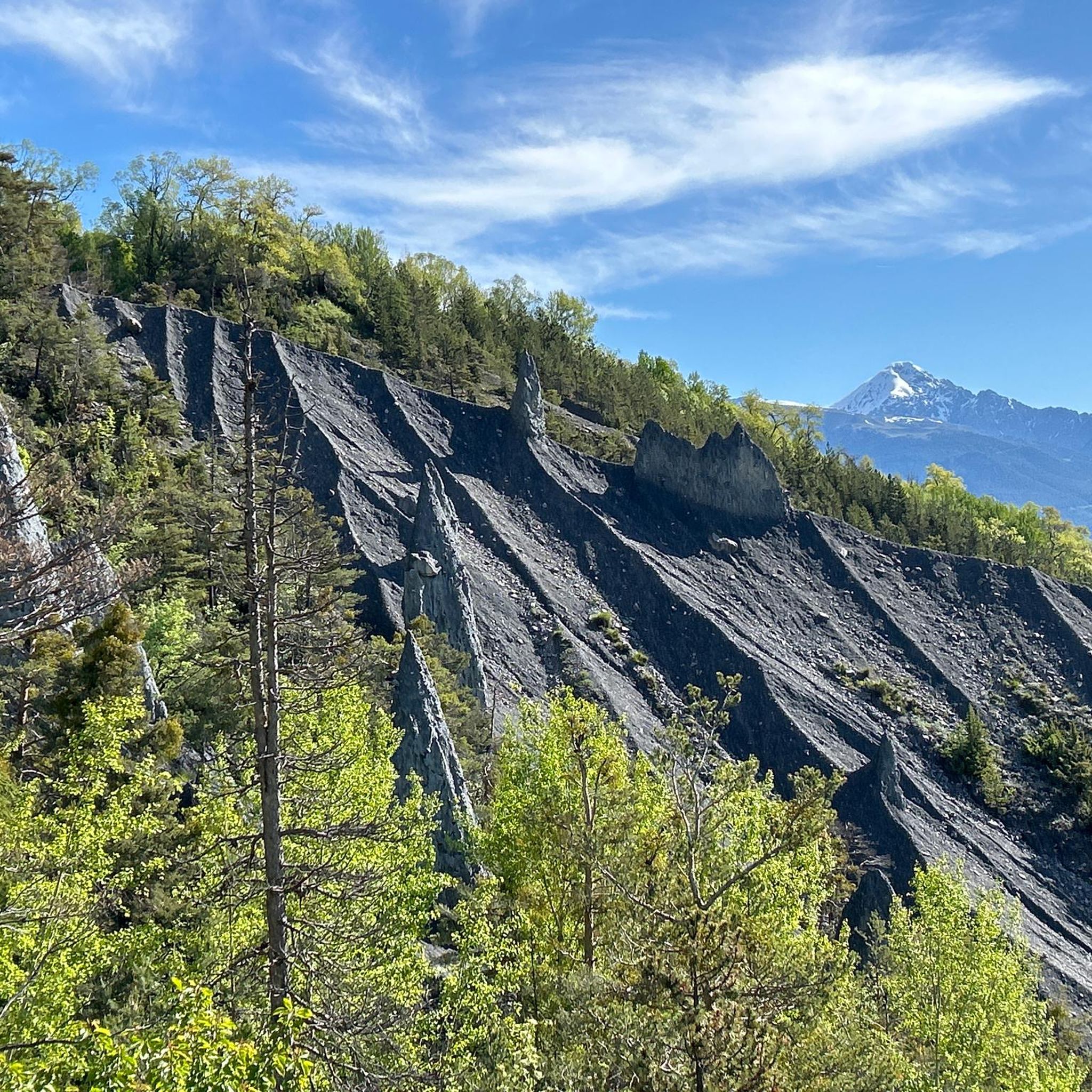
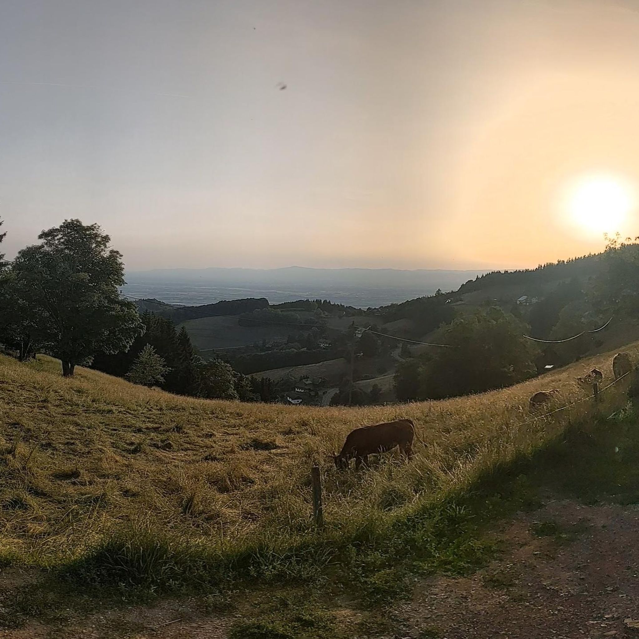
Tips from the Community

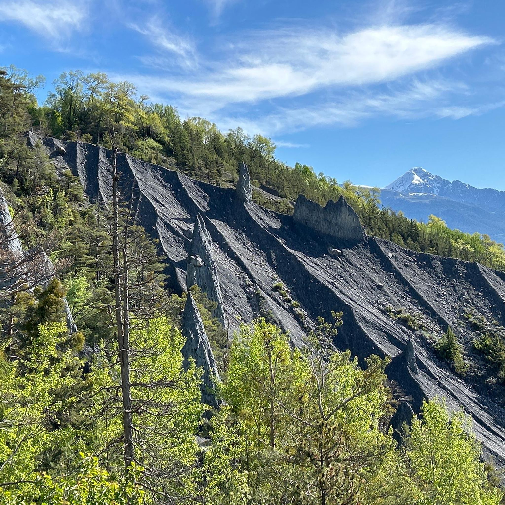
Villar-Saint-Pancrace, located in the French Hautes-Alpes, has deep historical roots linked to the Briançon area. It was a community of the Escartons of Briançon (charter of 1343) as Villarus Sanctus Pancratius. Historically, it was linked to agriculture and, until 1987, to coal mining by local farmers (charbourièro), particularly in the hamlet of La Tour.
11
0

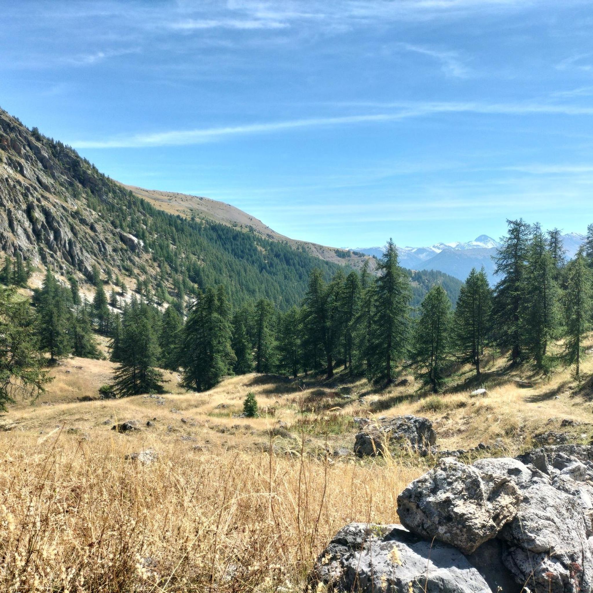
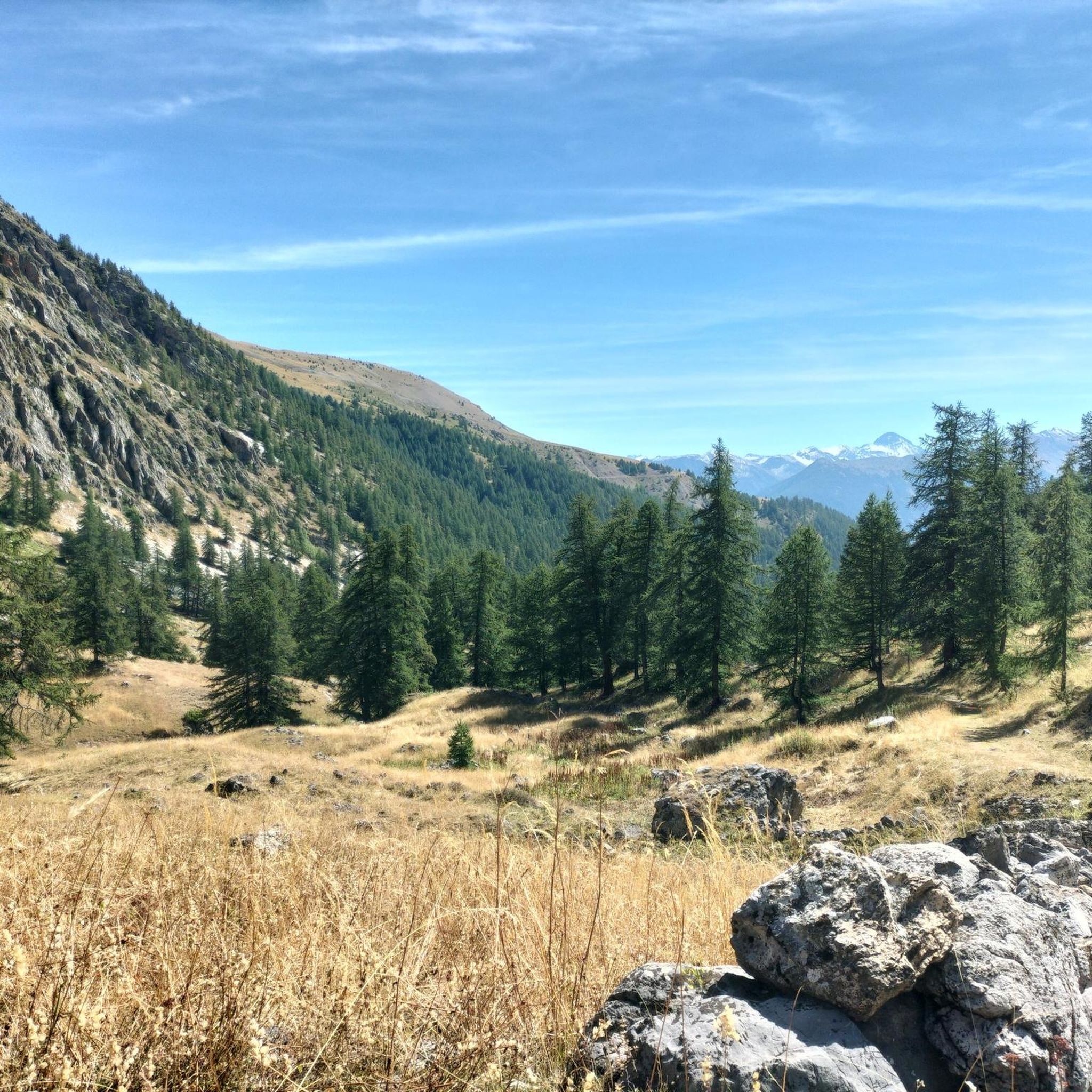
The Col de la Trancoulette is a scenic hiking destination accessible from Les Combes with a 435-meter elevation gain. The trail is marked and of medium difficulty; ideal for summer, with views of Briançon and the surrounding ridges. It leads to the nearby peak of La Croix d'Aquila.
0
0

On the way along the flanks of the Montbrison Massif, you will pass a small chapel tucked away in the hamlet of Les Combes. Built in 1718, the Chapelle Saint-Roch still bears the inscription above its entrance: “Passants, Saint Roch préservez-nous de la peste.” (“Travellers, Saint Roch, protect us from the plague.”) Saint Roch is known as the protector of travellers, pilgrims and the sick. The chapel is simple and humble, built from stone and wood, with a flat barrel vault and shingle roof — a quiet witness to centuries of passage through these mountains. As you ride past, pause for a moment. Try the doo... if it’s open.
0
0
Stop to recharge your batteries with some delicious treats.
18
0
Stop to recharge with some delicious ice cream.
19
0


Many circuits departing from Briancon to go towards Izoard, Granon or Montgenevre. An unmissable point in the north of the Hautes-Alpes
1
0

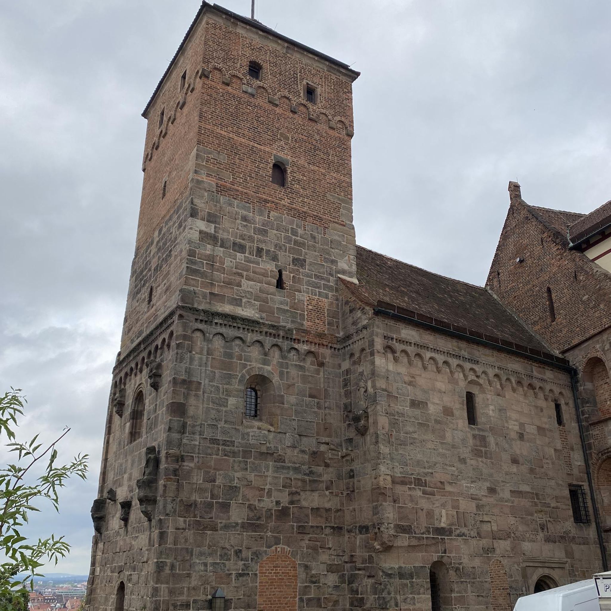
Briançon is a fortified city in the heart of the French Alps. At 1,326 meters above sea level it is one of the highest cities in France. Its fortifications, designed by Vauban in the 17th century, are a UNESCO World Heritage Site. The historic center is of medieval origin with colorful houses, sundials, fountains and frescoes. It is the starting point for several famous Alpine passes, including the Col d'Izoard, but it is also a tourist and cultural destination not to be missed.
2
0
Frequently Asked Questions
How many running routes are available around Puy-Saint-André?
There are over 370 running routes in the Puy-Saint-André region, catering to various fitness levels. You'll find a good mix of easy, moderate, and more challenging trails to explore.
Are there easy or beginner-friendly jogging routes in Puy-Saint-André?
Yes, Puy-Saint-André offers several easy running options, with 15 routes specifically categorized as easy. These are ideal for beginners or those looking for a relaxed run. Many routes feature moderate elevation changes, providing a gentle challenge.
Can I find circular running routes in the area?
Absolutely. Many of the running routes around Puy-Saint-André are circular, allowing you to start and finish at the same point. For example, the Villar-Saint-Pancrace loop from Villar-Saint-Pancrace is a popular circular option, covering 4.7 miles (7.6 km).
What kind of terrain can I expect on the running trails?
The terrain around Puy-Saint-André is varied, typical of the French Alps. You'll encounter valley paths, ascents towards mountain passes, and routes connecting historical towns. Expect undulating paths with moderate elevation changes, offering diverse running experiences.
Are there any interesting landmarks or sights along the running routes?
Yes, the region is rich in natural beauty and historical points. You might pass by mountain passes like Col du Granon (2,413 m) or Col de la Pousterle. Some routes also lead near historical areas such as those found on the Embrun Gate – Briançon Castle loop from Villar-Saint-Pancrace.
What do other runners enjoy most about the trails in Puy-Saint-André?
The running routes in Puy-Saint-André are highly rated by the komoot community, with an average score of 4.5 stars from over 150 reviews. Runners often praise the varied terrain, scenic views of surrounding peaks, and the well-maintained paths that connect local settlements and historical areas.
Are there any running routes that offer views of mountain peaks?
Many routes in the region provide stunning mountain vistas. For instance, the Ascent to Col d'Izoard – Briançon loop from Puy-Saint-André offers scenic views as it includes an ascent towards Col d'Izoard. You can also find viewpoints like Tête d'Oréac nearby.
What is a good moderate-difficulty running route to try?
A great moderate option is the Villar-Villaret Link loop from Villar-Saint-Pancrace. This route covers approximately 4.7 miles (7.6 km) with about 100 meters of elevation gain, offering a good workout without being overly strenuous.
Are there options for longer running distances?
Yes, for those looking for longer runs, routes like the Ascent to Col d'Izoard – Briançon loop from Puy-Saint-André span 8.3 miles (13.4 km). The network also allows for combining shorter segments to create extended running experiences.
Is Puy-Saint-André suitable for winter running?
While the region offers beautiful winter landscapes, conditions can vary significantly. Higher elevation routes may be inaccessible due to snow and ice. It's advisable to check local weather forecasts and trail conditions before heading out for winter runs, and stick to lower valley paths if conditions are challenging.
What is the typical duration for a running route in this area?
Running routes in Puy-Saint-André vary in duration. Many popular routes, such as the Villar-Saint-Pancrace loop from Villar-Saint-Pancrace, can be completed in about 50 minutes. Longer routes, like the Embrun Gate – Briançon Castle loop from Villar-Saint-Pancrace, might take around 1 hour 5 minutes.
Are there any routes that pass by historical castles or structures?
Yes, some routes offer glimpses of historical architecture. The Embrun Gate – Briançon Castle loop from Villar-Saint-Pancrace is a good example, leading through historical areas. You can also find landmarks like Lebrun Castle in the vicinity.
Most popular routes around Puy-Saint-André
Most popular attractions around Puy-Saint-André

Get inspired with the komoot mobile app


Explore more
Browse the best Running Trails & Routes in other regions.
