The best road cycling routes around Arith
4.5
(350)
12,802
riders
67
rides
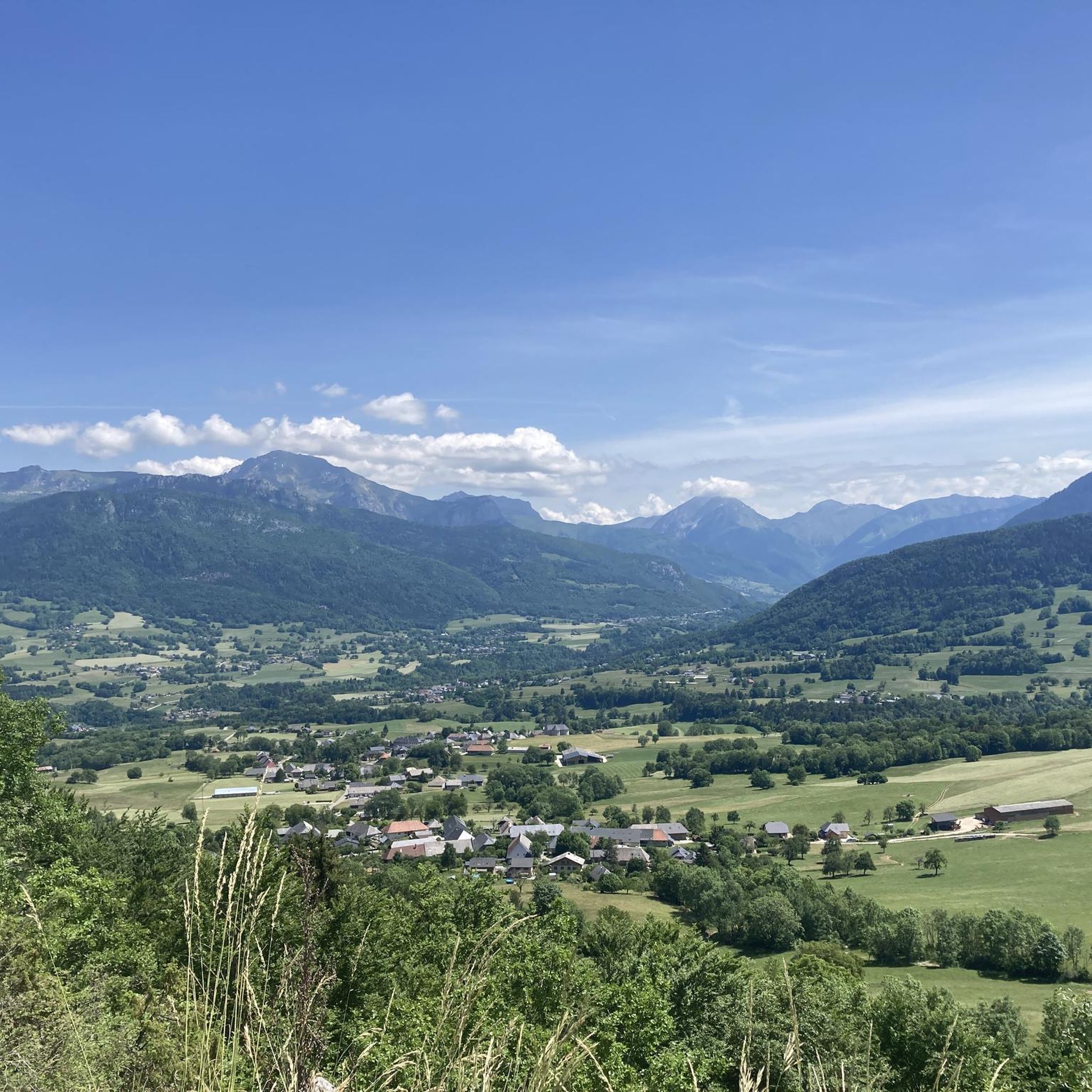
Road cycling routes around Arith are situated within the Massif des Bauges mountains in the Savoie department of France. The terrain is characterized by a mountainous environment, with elevations ranging from 549 meters to 1449 meters, providing varied gradients for cyclists. The region features an extensive network of roads winding through forests and alpine pastures, including areas like Montagne de Bange and the Chéran River basin. This diverse landscape offers both challenging climbs and more leisurely options along river routes.
…Last updated: June 28, 2026
4.5
(12)
306
riders
54.3km
03:13
1,370m
1,370m
This difficult 33.8-mile (54.3 km) road cycling loop in the Parc naturel régional du Massif des Bauges offers stunning Alpine views.
4.5
(6)
161
riders
41.8km
02:18
860m
860m
Moderate road ride. Good fitness required. Mostly well-paved surfaces and easy to ride.

Sign up for free
5.0
(1)
52
riders
23.1km
01:12
420m
420m
Moderate road ride. Good fitness required. Mostly well-paved surfaces and easy to ride.
4.3
(3)
48
riders
46.7km
02:22
750m
750m
Moderate road ride. Good fitness required. Some segments of this route may be unpaved and difficult to ride.
5.0
(3)
42
riders
30.4km
01:43
700m
700m
Moderate road ride. Good fitness required. Mostly well-paved surfaces and easy to ride.
Get access to more routes and recommendations from other explorers.
Sign up for free
Already have an account?
Our route recommendations are based on thousands of hikes, rides, and runs completed by other people on komoot.
Start today with a free account
Your next adventure awaits.
Login or Signup
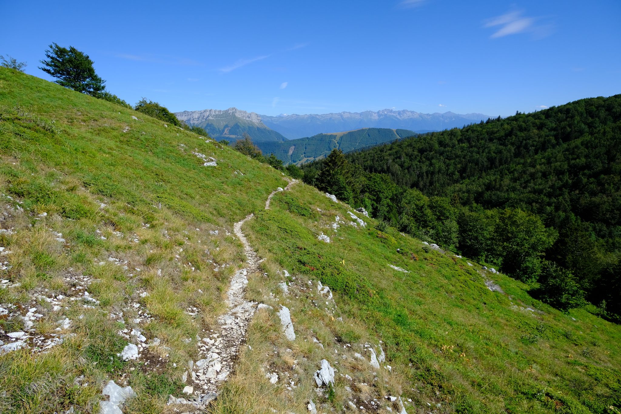
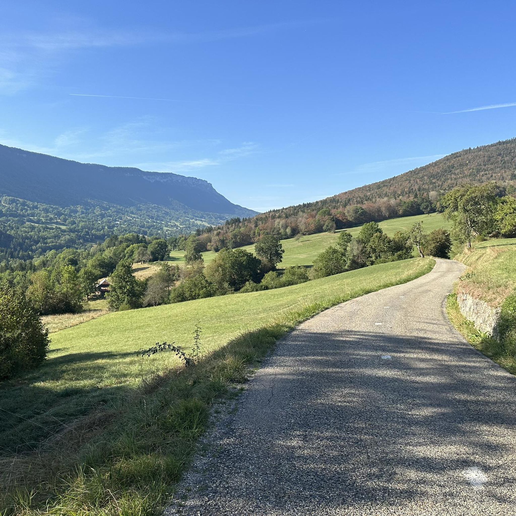
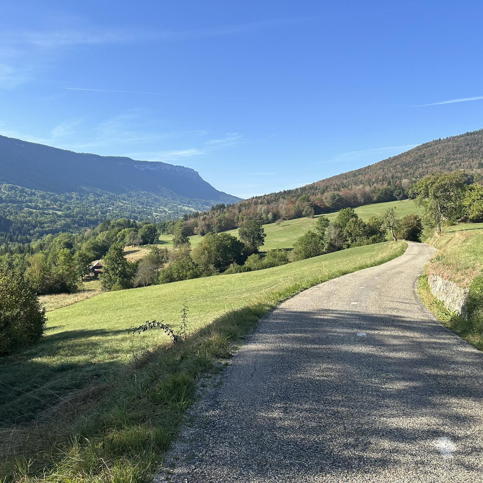
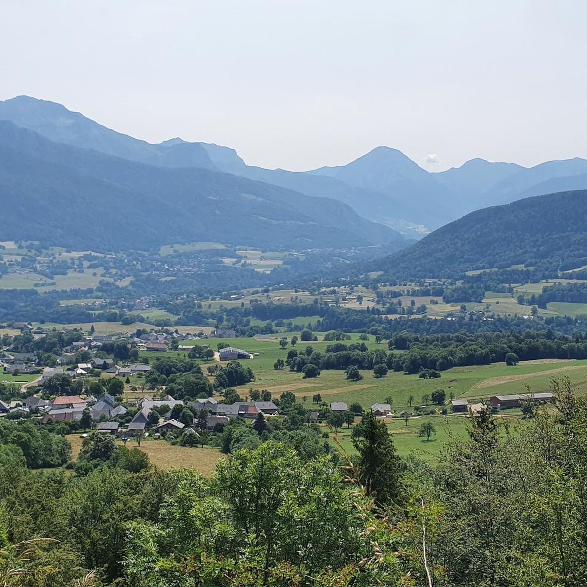

Other adventures around Arith

Tips from the Community

Pity, it would be sensible.
2
0
Nice little pass, quiet road, great views.
2
0
Nice little place shortly before the last ascent to Col des Pres. Church, bar and fountain.
2
0
Small pass, quiet ascent via the D10. At the pass with a fountain.
2
0

A small, little-known pass (at least not considered one), yet officially listed. It connects the ascent of the Col du Frêne with, for example, the Col de Plainpalais.
0
0

Nothing but downhill from Revard!!! It’s not the same from Chambé
1
0

Piece of rocky mountain that sticks out above the trees
2
0
Frequently Asked Questions
How many road cycling routes are available around Arith?
There are over 80 road cycling routes around Arith, offering a wide range of options for different skill levels. These routes are situated within the Massif des Bauges mountains, providing varied gradients and scenic landscapes.
What kind of terrain can I expect when road cycling in Arith?
The terrain around Arith is predominantly mountainous, with elevations ranging from 549 meters to 1449 meters. You can expect roads winding through dense forests and open alpine pastures, offering both challenging climbs and exhilarating descents. The region is part of the Massif des Bauges, ensuring preserved natural beauty.
Are there road cycling routes suitable for beginners or families in Arith?
Yes, while the region is known for its mountainous terrain, there are routes suitable for various abilities. Out of the over 80 routes, 3 are classified as easy, and 56 as moderate, which can be suitable for those looking for less strenuous options or family outings. Look for routes with lower elevation gains or those that follow river basins for a more leisurely experience.
Where can I find challenging road bike climbs around Arith?
For challenging climbs, focus on routes that ascend into the higher elevations of the Massif des Bauges. A notable difficult route is the Col des Prés and Col de Plainpalais Loop, which covers 33.8 miles (54.3 km) with significant elevation gain. Peaks like Mont Revard, approximately 10.1 km from Arith, also offer prominent and challenging ascents.
Are there circular road cycling routes in the Arith area?
Yes, many routes around Arith are designed as loops, allowing you to start and end in the same location. For example, the Arith – View of the Dovecote loop from Arith is a moderate 26.0 miles (41.8 km) circular path that offers varied terrain and local views. Another option is the Leschaux Pass – La Halte des Bauges Restaurant loop from Lescheraines.
What are some scenic viewpoints or attractions I can see along the routes?
Road cycling routes around Arith offer numerous scenic opportunities. You can encounter stunning vistas of the Massif des Bauges. Notable passes like Leschaux Pass and Plainpalais Pass provide panoramic views. Summits such as Mount Revard and Col du Semnoz summit are also accessible and offer expansive views of the surrounding landscape.
What do other cyclists say about road cycling in Arith?
The road cycling experience in Arith is highly rated by the komoot community, with an average score of 4.5 stars from over 300 reviews. Cyclists often praise the diverse terrain, the beauty of the Massif des Bauges, and the extensive network of roads that cater to various skill levels.
Is it possible to access road cycling routes in Arith using public transport?
Arith is a commune in the Savoie department, and while specific public transport links directly to trailheads might be limited, nearby cities like Aix-les-Bains and Chambéry (approximately 25 km and 30 km away, respectively) serve as accessible hubs. From these cities, you might find local transport options or connections that can bring you closer to the starting points of routes.
What is the best time of year to go road cycling in Arith?
The mountainous environment of Arith suggests that late spring, summer, and early autumn are generally the best times for road cycling. During these months, the weather is typically more favorable, and mountain passes are clear of snow, allowing full access to the region's diverse routes through forests and alpine pastures.
Are there routes that offer a mix of forest and open alpine pastures?
Absolutely. The Massif des Bauges, where Arith is located, is characterized by this very mix. Routes frequently wind through dense forests before opening up to alpine pastures, such as those found on Montagne de Bange or around La Revêche and Le Mariet. This provides a dynamic and visually rich cycling experience.
Where can I find parking for road cycling routes in Arith?
As Arith is a commune within a regional natural park, parking is generally available in and around the village centers or at designated starting points for popular routes. It's advisable to check specific route descriptions for details on parking facilities near the trailhead you plan to use.
Can I find routes that include stops at cafes or restaurants?
Yes, some routes are designed to pass by or near amenities. For instance, the Leschaux Pass – La Halte des Bauges Restaurant loop from Lescheraines explicitly mentions a restaurant, indicating opportunities for refreshment. Many villages along the routes will also offer cafes and eateries.
Most popular attractions around Arith

Get inspired with the komoot mobile app


Explore more
Browse the best Road cycling routes in other regions.
