The best road cycling routes around Targassonne
4.3
(97)
10,888
riders
78
rides
Road cycling around Targassonne is characterized by its high-altitude Pyrenean setting, offering diverse terrain for cyclists. Situated at approximately 1500 meters, the region features mountainous landscapes with significant elevation changes. It is located near the Natural Park of the Catalan Pyrenees, providing a natural environment for road cycling routes. The area includes challenging climbs and scenic rides through varied topography.
Best road cycling routes around Targassonne
- The most popular road cycling route is Col de la Creu – Col de…
Last updated: July 1, 2026
4.9
(9)
1,027
riders
84.2km
04:49
1,860m
1,860m
Hard road ride. Very good fitness required. Some segments of this route may be unpaved and difficult to ride.
4.7
(10)
845
riders
Hard road ride. Very good fitness required. Some segments of this route may be unpaved and difficult to ride.

Sign up for free
4.8
(16)
758
riders
56.7km
02:55
1,010m
1,010m
Hard road ride. Very good fitness required. Some segments of this route may be unpaved and difficult to ride.
5.0
(1)
641
riders
165km
08:45
3,170m
3,170m
Hard road ride. Very good fitness required. Some segments of this route may be unpaved and difficult to ride.
4.6
(8)
662
riders
59.3km
03:26
1,350m
1,350m
Hard road ride. Very good fitness required. Some segments of this route may be unpaved and difficult to ride.
Get access to more routes and recommendations from other explorers.
Sign up for free
Already have an account?
Our route recommendations are based on thousands of hikes, rides, and runs completed by other people on komoot.
Start today with a free account
Your next adventure awaits.
Login or Signup
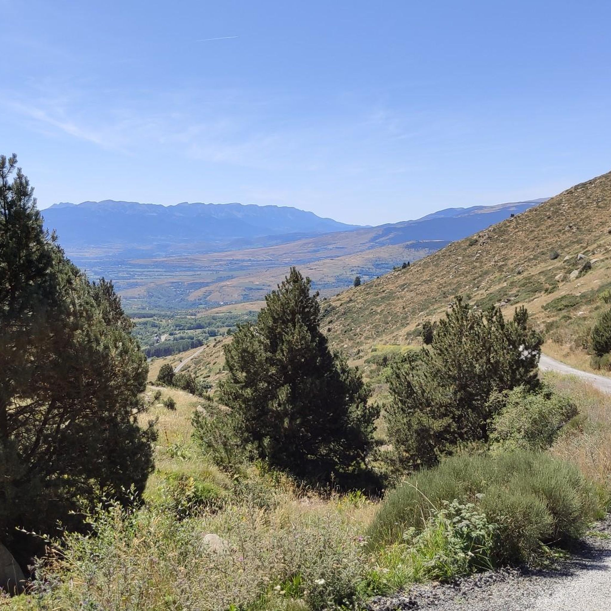
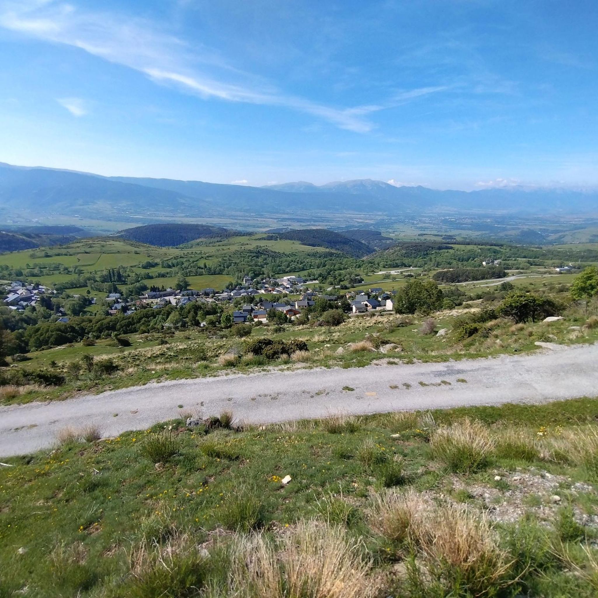
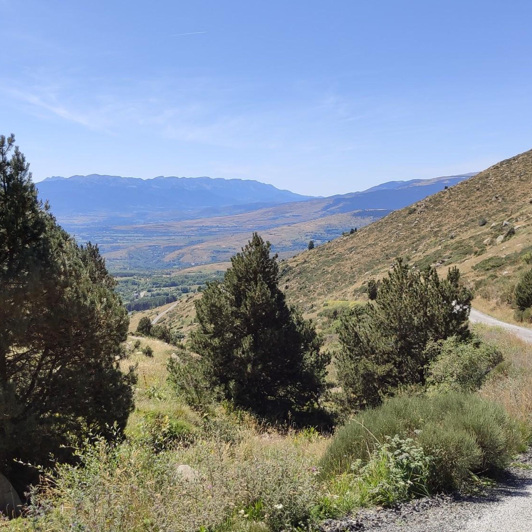
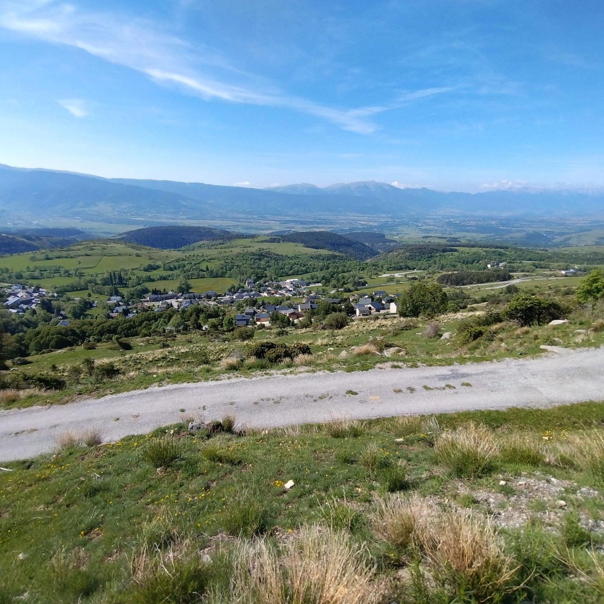

Tips from the Community

It's an ideal spot for a picnic. It's also an ideal place for groups of cyclists supported by vans, as there's plenty of space here to relax and not disturb anyone. The lake is at an elevated point, so accessing it from La Llagonne or Les Angles requires a steep climb, always at a lower gradient.
0
0

A drinking water tap, near the village school, always available 365/24
1
0


Regular asphalt if it's downhill Bones vistas
0
0
Hellish climb but with spectacular views, good asphalt too
0
0

Well, starting from Font Romeu and breaking legs from Mont Louis
0
0

Second port of the 4cims. Long but very laid out. It is worth enjoying its views without putting down the big plate at many times. :)
0
0
Frequently Asked Questions
How many road cycling routes are available around Targassonne?
There are over 60 road cycling routes around Targassonne, offering a wide range of options for different skill levels. These routes traverse the high-altitude Pyrenean landscape, providing diverse terrain and scenic rides.
What is the typical terrain and elevation gain for road cycling routes around Targassonne?
Road cycling around Targassonne is characterized by its mountainous Pyrenean setting, with routes often starting at around 1500 meters altitude. You can expect significant elevation changes, including challenging climbs. For example, the Col de la Creu – Col de la Llose loop from Font-Romeu-Odeillo-Via features over 1,800 meters of elevation gain, while the Estació Puigmal | Cotzé 1830m – Puigmal 2000 loop from Estavar includes over 1,300 meters of ascent.
When is the best time of year for road cycling in Targassonne?
Given its high-altitude location in the Pyrenees, the best time for road cycling in Targassonne is typically from late spring through early autumn. During these months, the weather is generally more stable, and mountain passes are clear of snow, offering ideal conditions for exploring the region's challenging climbs and scenic routes.
What natural features and landmarks can I expect to see while road cycling near Targassonne?
The region around Targassonne is rich in natural beauty. You can encounter majestic mountains like the Summit of Pic Carlit, and numerous high-altitude lakes such as Lake Bouillouses, Viver Lake, and Estany del Castellar. The dramatic Gorges de Galamus also offer a unique natural experience, sometimes featuring the ancient Hermitage de Galamus carved into the rock face.
Are there family-friendly road cycling routes suitable for all ages around Targassonne?
While many routes around Targassonne involve significant climbs due to the mountainous terrain, there are some easier options available. The komoot guide lists 8 easy road cycling tours, which may be more suitable for families or those seeking less strenuous rides. These routes often feature gentler gradients and less demanding distances.
What are some of the most challenging road bike climbs near Targassonne?
Targassonne is situated in a region known for its challenging Pyrenean passes, some of which have been featured in the Tour de France. Routes like the Coll de Merolla – Creueta Pass (1,888 m) loop from Font-Romeu-Odeillo-Via, with over 3,100 meters of elevation gain, offer significant challenges. Other routes, such as the Col de la Creu – Col de la Llose loop, also present demanding ascents through scenic landscapes.
Can I find circular road cycling routes around Targassonne?
Yes, many of the road cycling routes around Targassonne are designed as loops, allowing you to start and finish in the same location. Examples include the Lake Matemale – Col de la Perche (1,579 m) loop from Font-Romeu-Odeillo-Via and the Col de la Perche (1,579 m) – Llo Pass loop from Font-Romeu-Odeillo-Via, which offer varied distances and elevation profiles.
Are there parking facilities available for road cyclists in Targassonne?
As a popular outdoor destination, Targassonne and nearby towns like Font-Romeu-Odeillo-Via typically offer parking options. It's advisable to check local signage for specific parking regulations and availability, especially during peak seasons, to ensure convenient access to your chosen cycling routes.
What do other road cyclists enjoy the most about road cycling in Targassonne?
The road cycling routes around Targassonne are highly rated by the komoot community, with an average score of 4.4 stars from over 130 reviews. Cyclists frequently praise the stunning Pyrenean landscapes, the challenging yet rewarding climbs, and the diverse terrain that caters to various skill levels. The high-altitude setting and scenic views are often highlighted as key attractions.
Are there places to stop for refreshments or accommodation along the road cycling routes?
Given the popularity of the region for outdoor activities, you will find villages and towns along many routes that offer opportunities for refreshments, meals, and accommodation. Larger hubs like Font-Romeu-Odeillo-Via provide a range of services for cyclists, including cafes, restaurants, and hotels. Planning your route with potential stops in mind is recommended.
Are there any long-distance road cycling routes near Targassonne?
Yes, the region offers several long-distance road cycling routes for those seeking extended rides. For instance, the Coll de Merolla – Creueta Pass (1,888 m) loop from Font-Romeu-Odeillo-Via spans over 165 kilometers, providing a significant challenge and a full day of cycling through the Pyrenees.
Most popular routes around Targassonne
Most popular attractions around Targassonne

Get inspired with the komoot mobile app


Explore more
Browse the best Road cycling routes in other regions.
