The best road cycling routes around Landkreis Schwäbisch Hall
4.6
(1318)
12,949
riders
1,154
rides
Road cycling routes around Landkreis Schwäbisch Hall traverse a landscape characterized by picturesque river valleys, rolling hills, and extensive forests. The region features the scenic Kocher and Jagst river valleys, offering both relatively flat sections and gentle climbs. Cyclists encounter varied terrain, including the expansive Swabian-Franconian Forest Nature Reserve, which provides shaded rides and secluded natural environments. The broader Hohenlohe region's "up and down" topography ensures engaging challenges with moderate elevation changes.
Best road cycling routes around Landkreis Schwäbisch Hall
…Last updated: October 23, 2026
4.5
(19)
323
riders
85.1km
03:28
430m
430m
Moderate road ride. Good fitness required. Mostly well-paved surfaces and easy to ride.
4.5
(28)
267
riders
Moderate road ride. Good fitness required. Mostly well-paved surfaces and easy to ride.

4.6
(22)
183
riders
Moderate road ride. Good fitness required. Mostly well-paved surfaces and easy to ride.
4.8
(27)
203
riders
66.9km
02:44
320m
320m
Moderate road ride. Good fitness required. Some segments of this route may be unpaved and difficult to ride.
4.7
(7)
114
riders
40.3km
01:42
300m
300m
Easy road ride. Great for any fitness level. Mostly well-paved surfaces and easy to ride.
4.7
(7)
127
riders
98.8km
04:34
930m
930m
Hard road ride. Very good fitness required. Some segments of this route may be unpaved and difficult to ride.
5.0
(11)
146
riders
Moderate road ride. Good fitness required. Mostly well-paved surfaces and easy to ride.
4.8
(13)
144
riders
73.8km
03:05
510m
510m
Moderate road ride. Good fitness required. Mostly well-paved surfaces and easy to ride.
4.7
(9)
123
riders
58.1km
02:40
630m
630m
Moderate road ride. Good fitness required. Mostly well-paved surfaces and easy to ride.
5.0
(2)
102
riders
Moderate road ride. Good fitness required. Some segments of this route may be unpaved and difficult to ride.
Get access to more routes and recommendations from other explorers.
Already have an account?
Our route recommendations are based on thousands of hikes, rides, and runs completed by other people on komoot.
Start today with a free account
Your next adventure awaits.
Popular around Landkreis Schwäbisch Hall
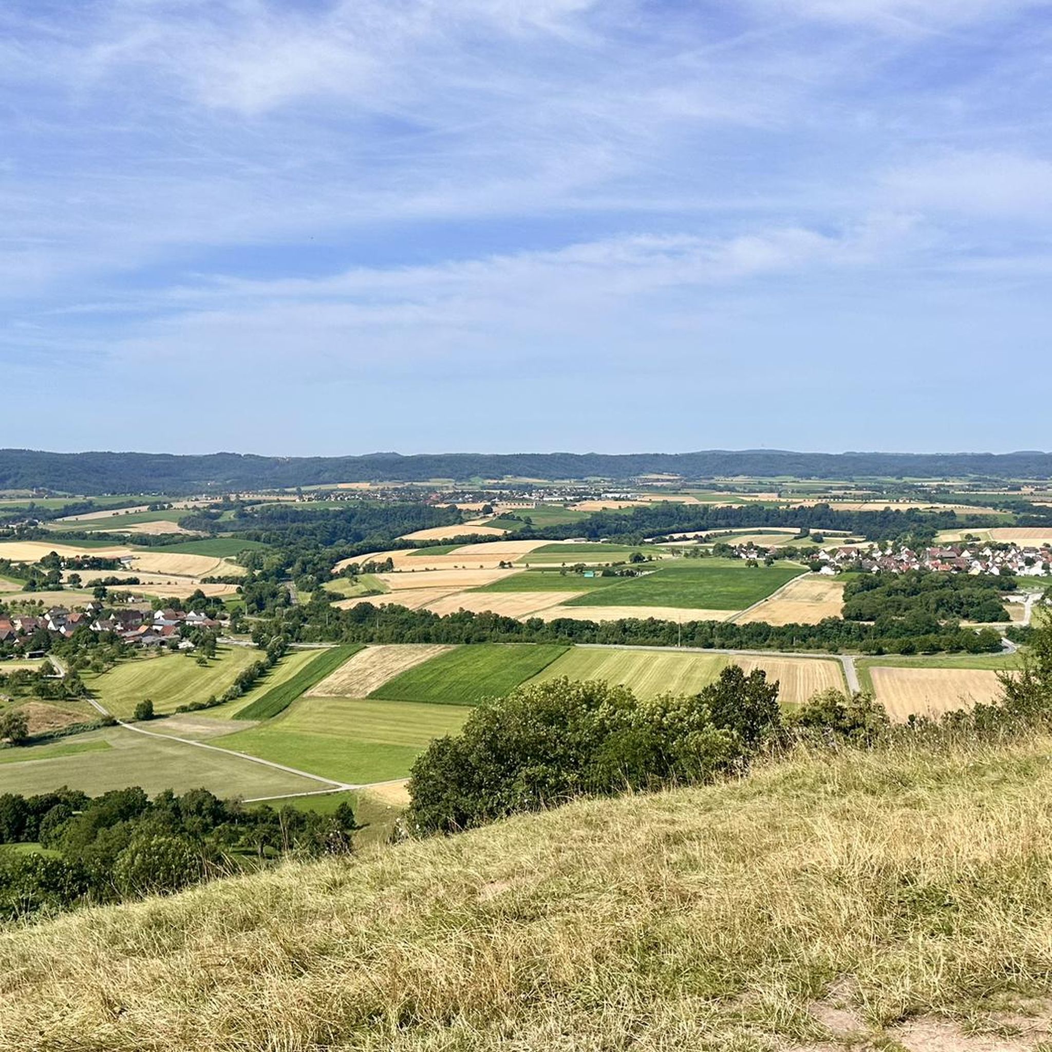
Road Cycling Routes around Limpurger Berge
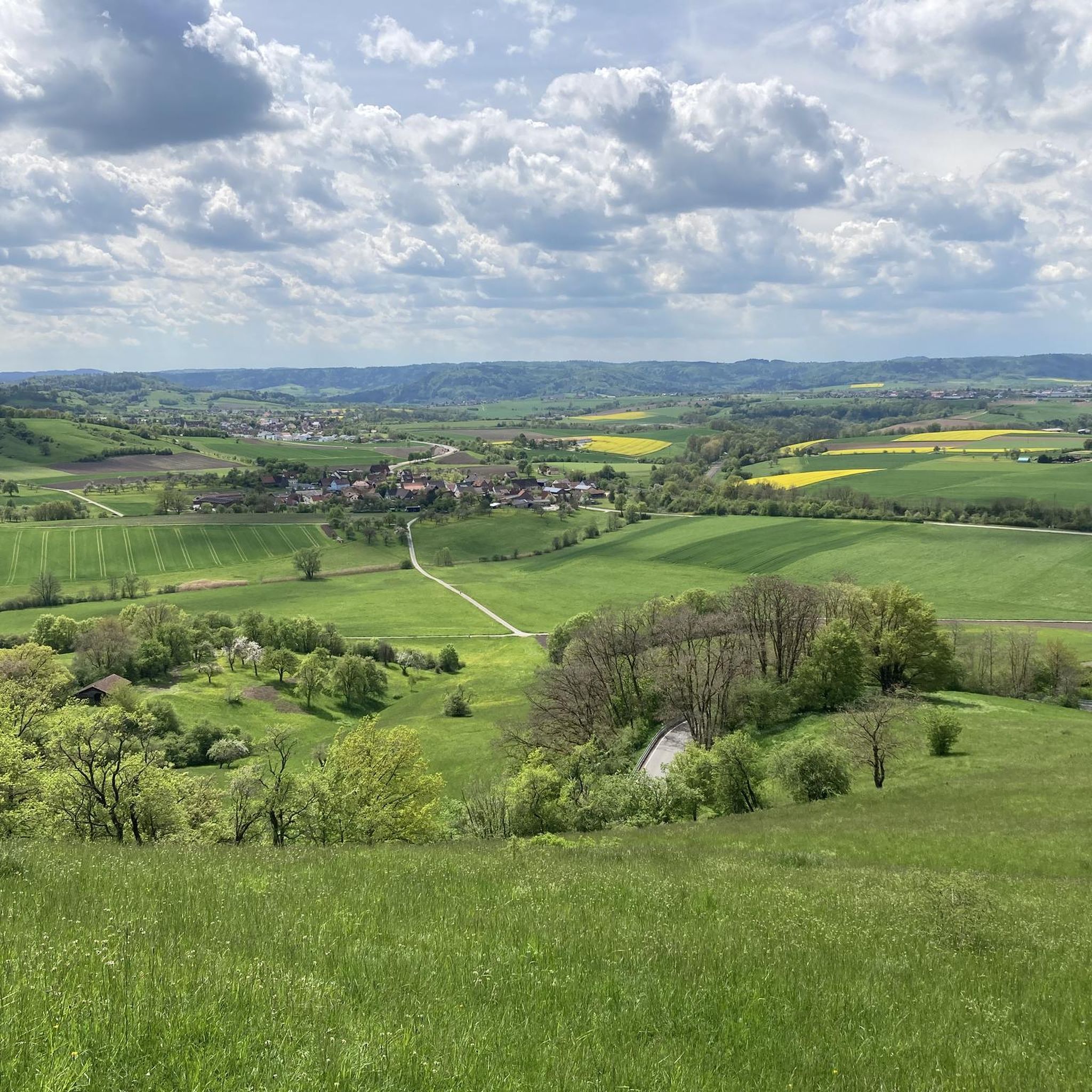
Road Cycling Routes around Michelbach an der Bilz
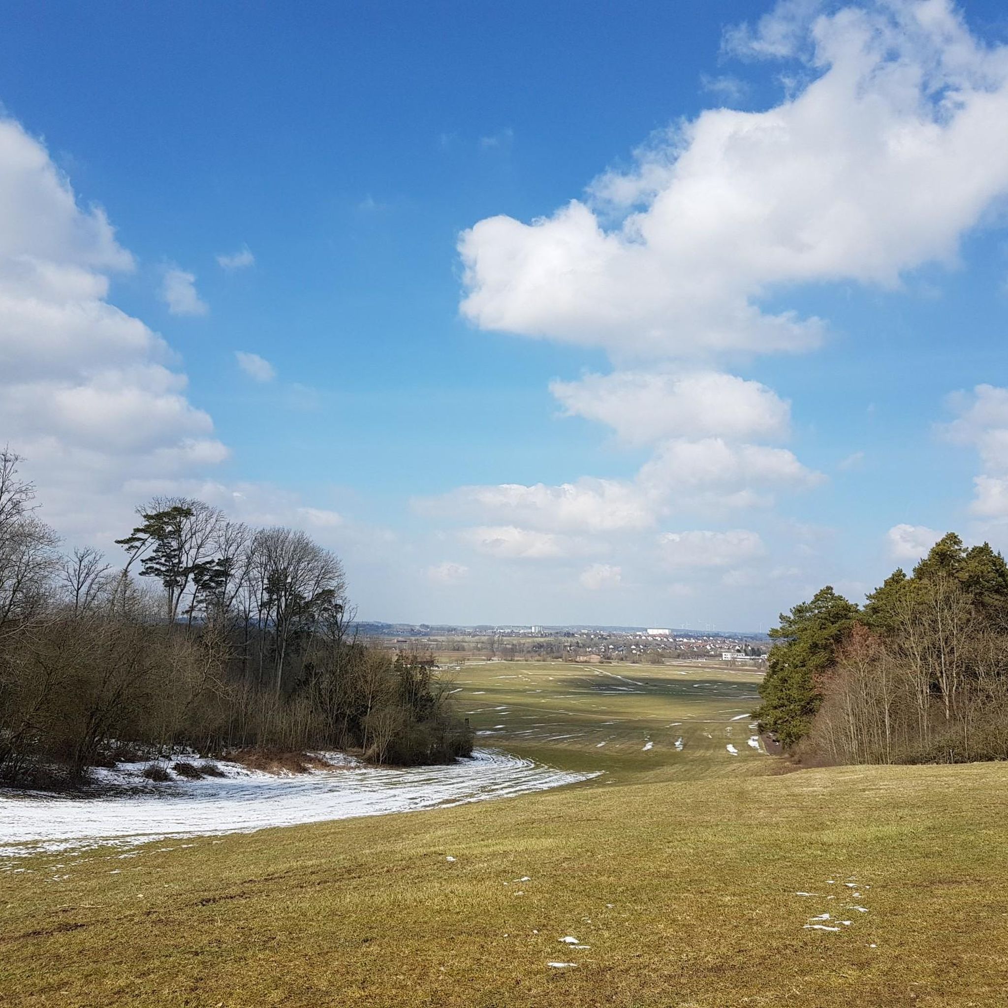
Road Cycling Routes around Crailsheim
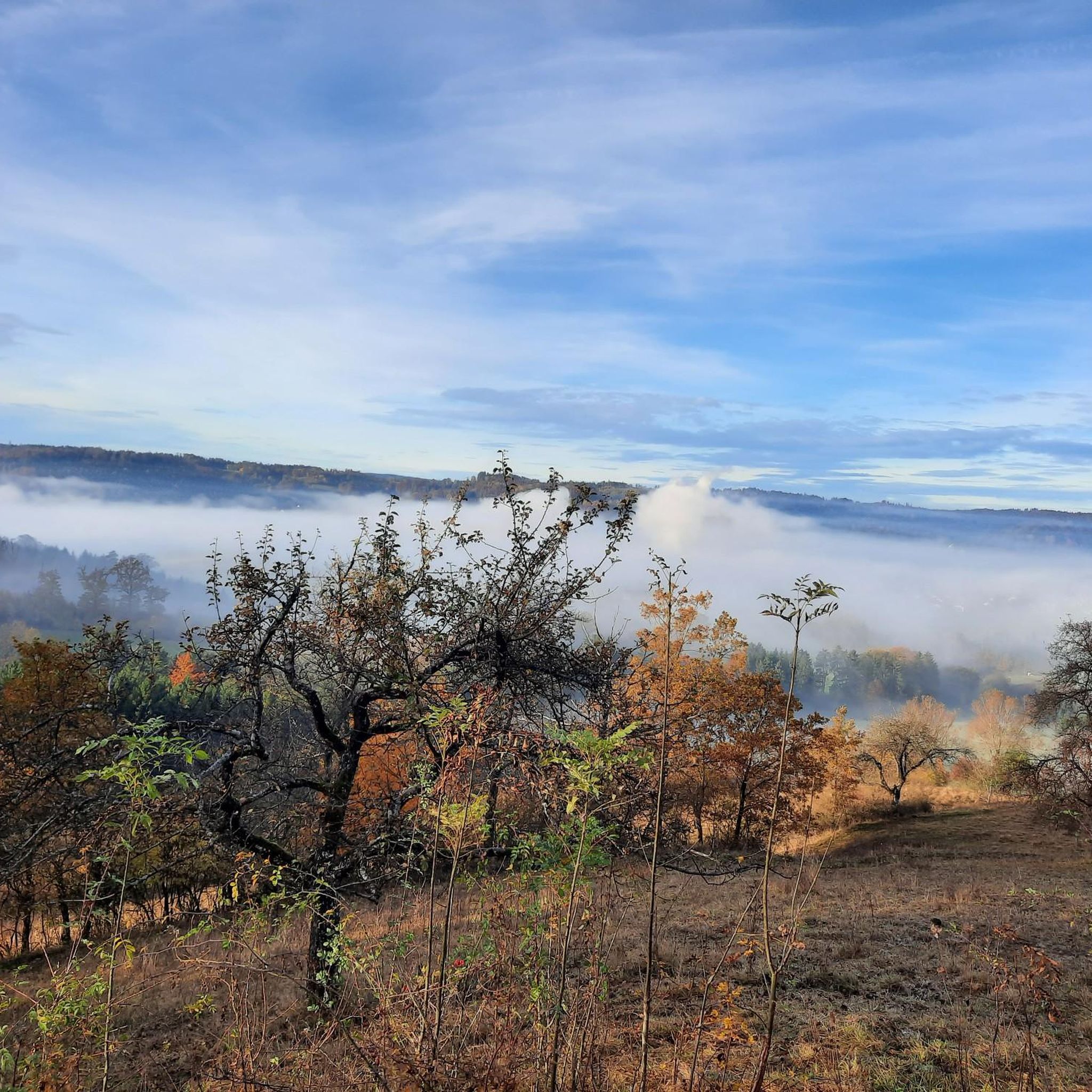
Road Cycling Routes around Oberrot
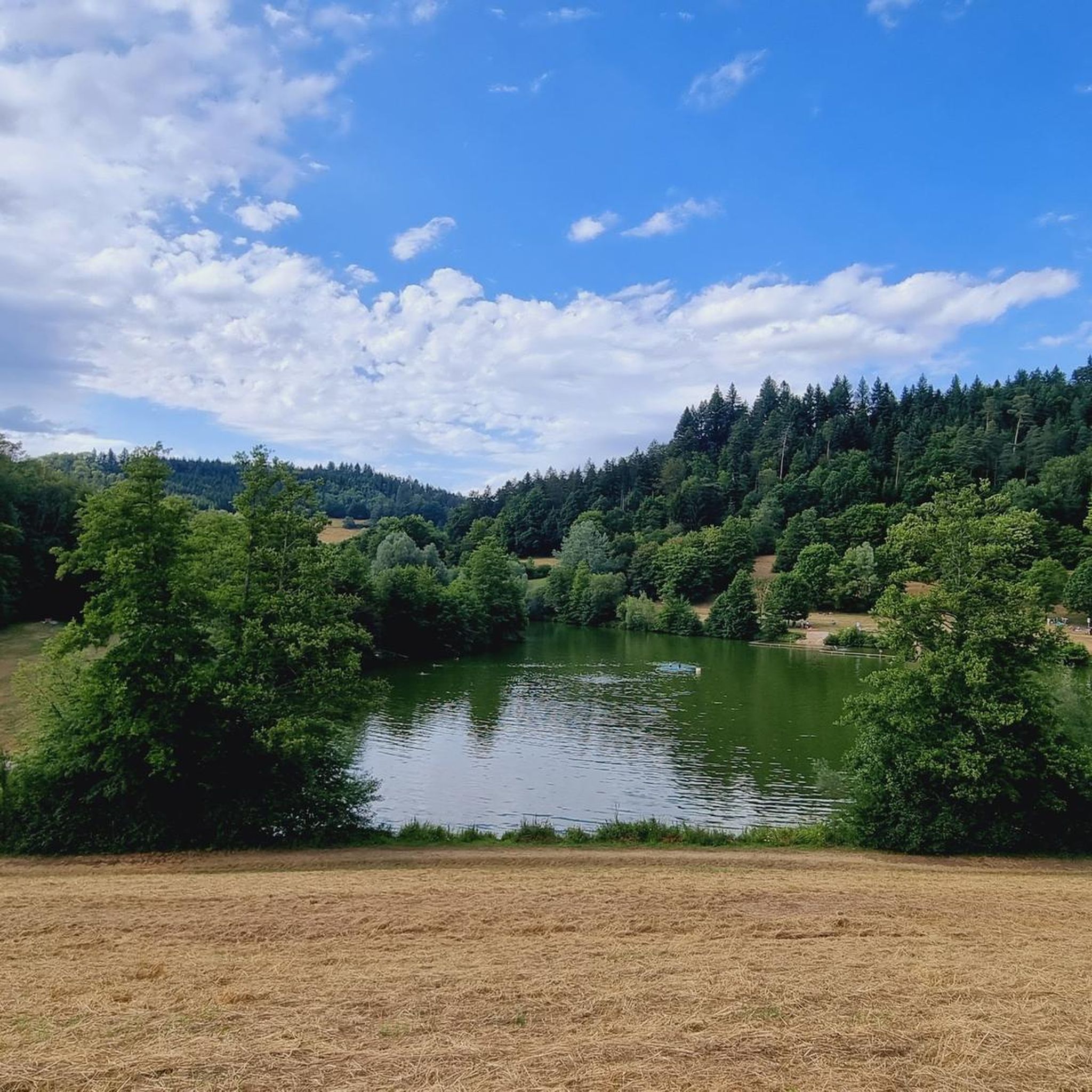
Road Cycling Routes around Fichtenberg
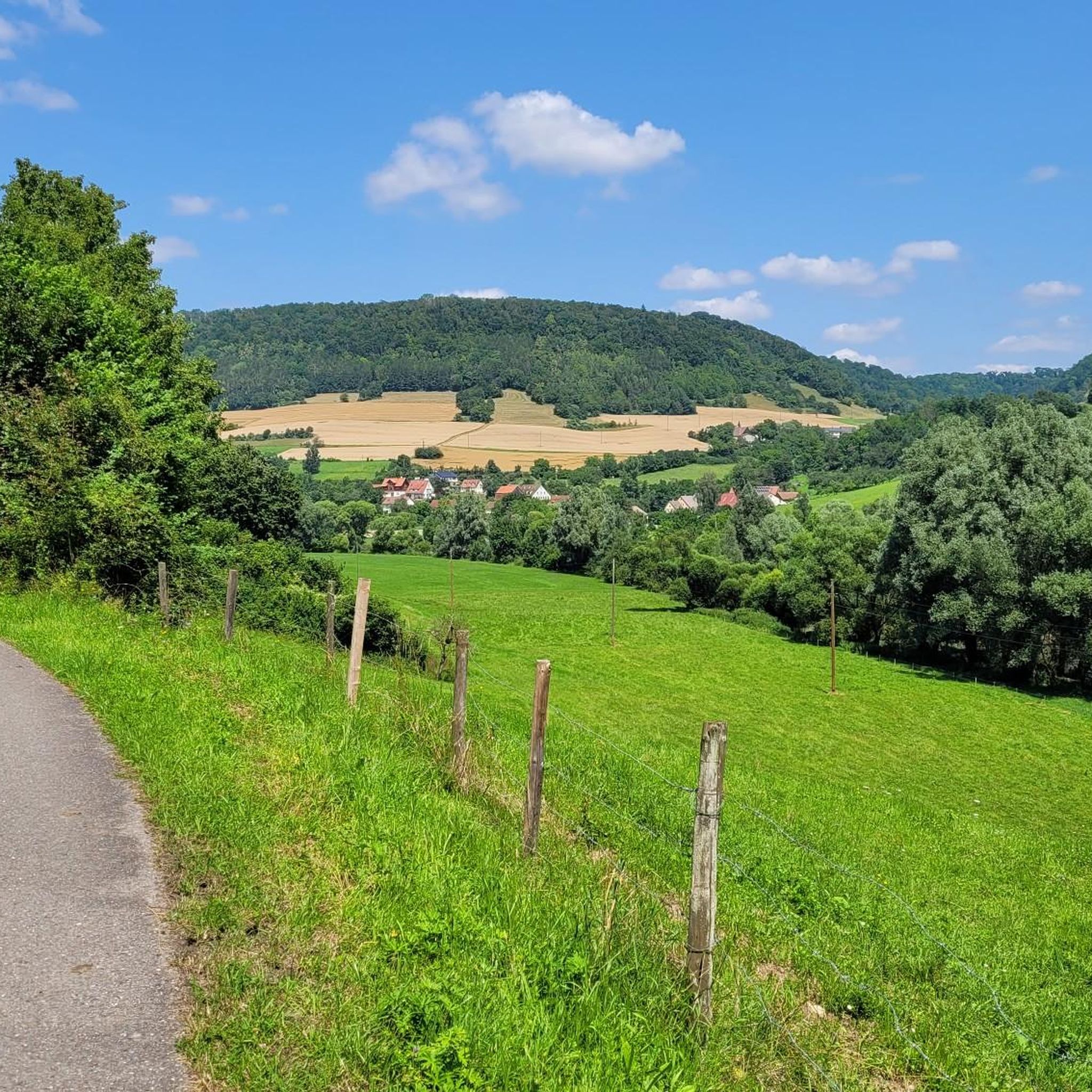
Road Cycling Routes around Braunsbach
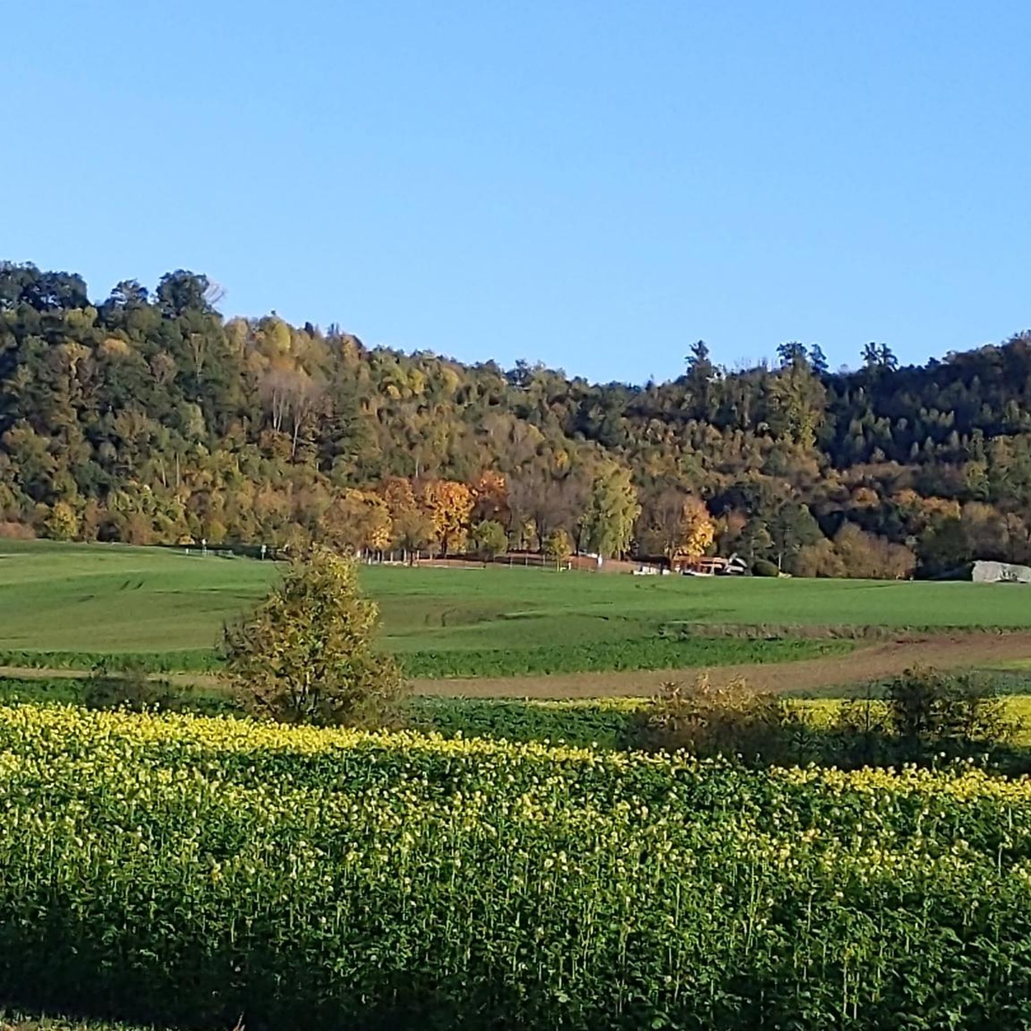
Road Cycling Routes around Gaildorf
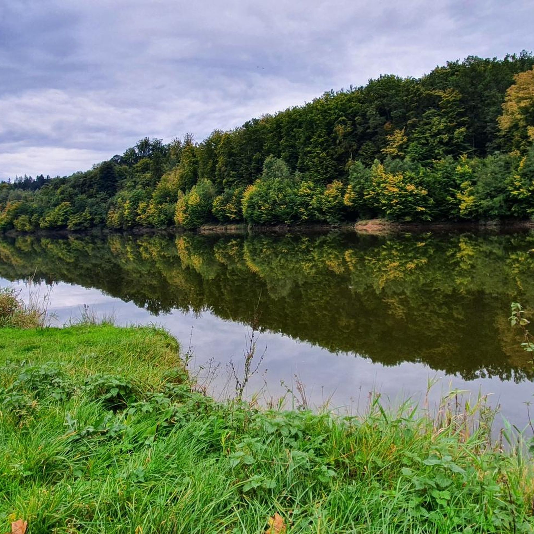
Road Cycling Routes around Michelfeld
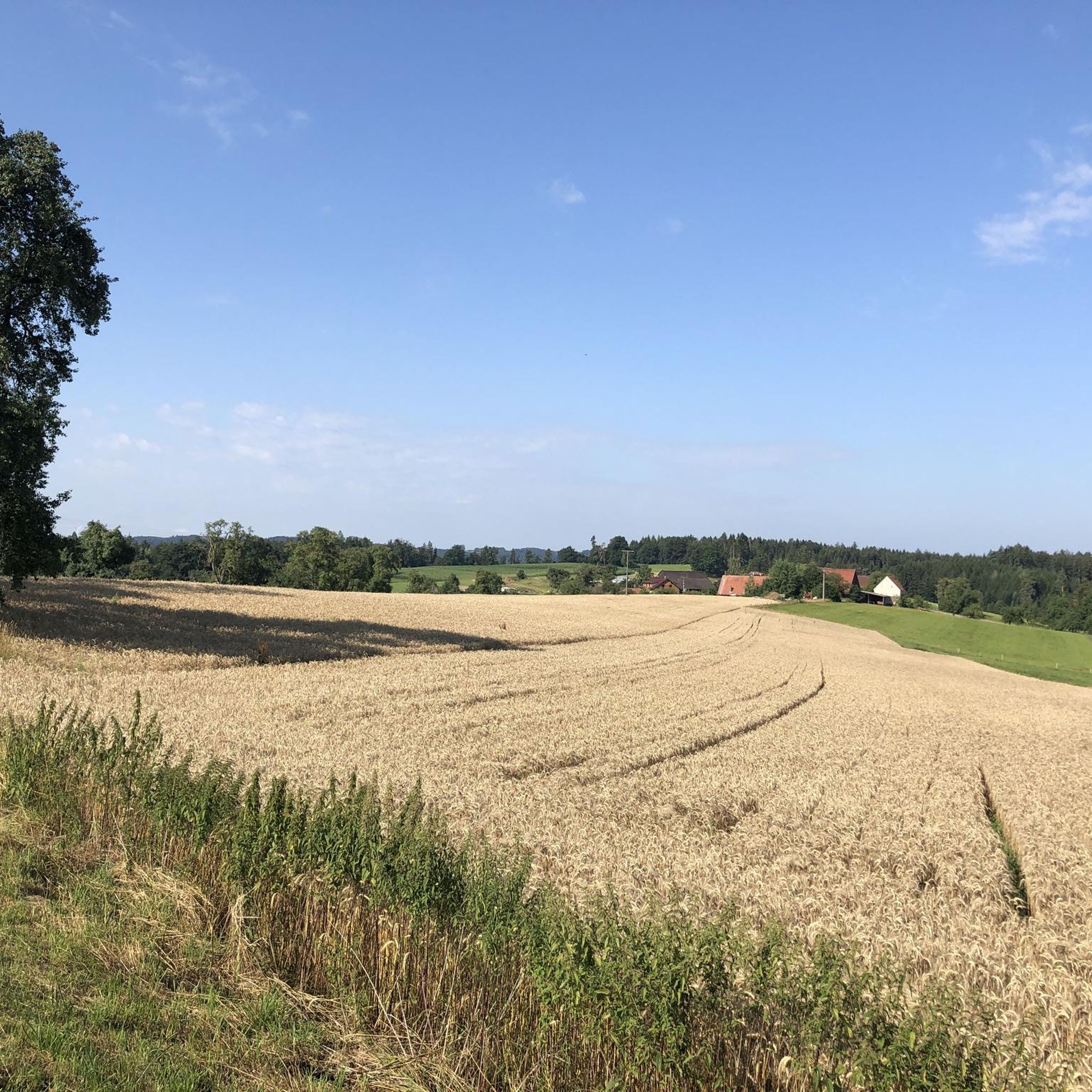
Road Cycling Routes around Sulzbach-Laufen
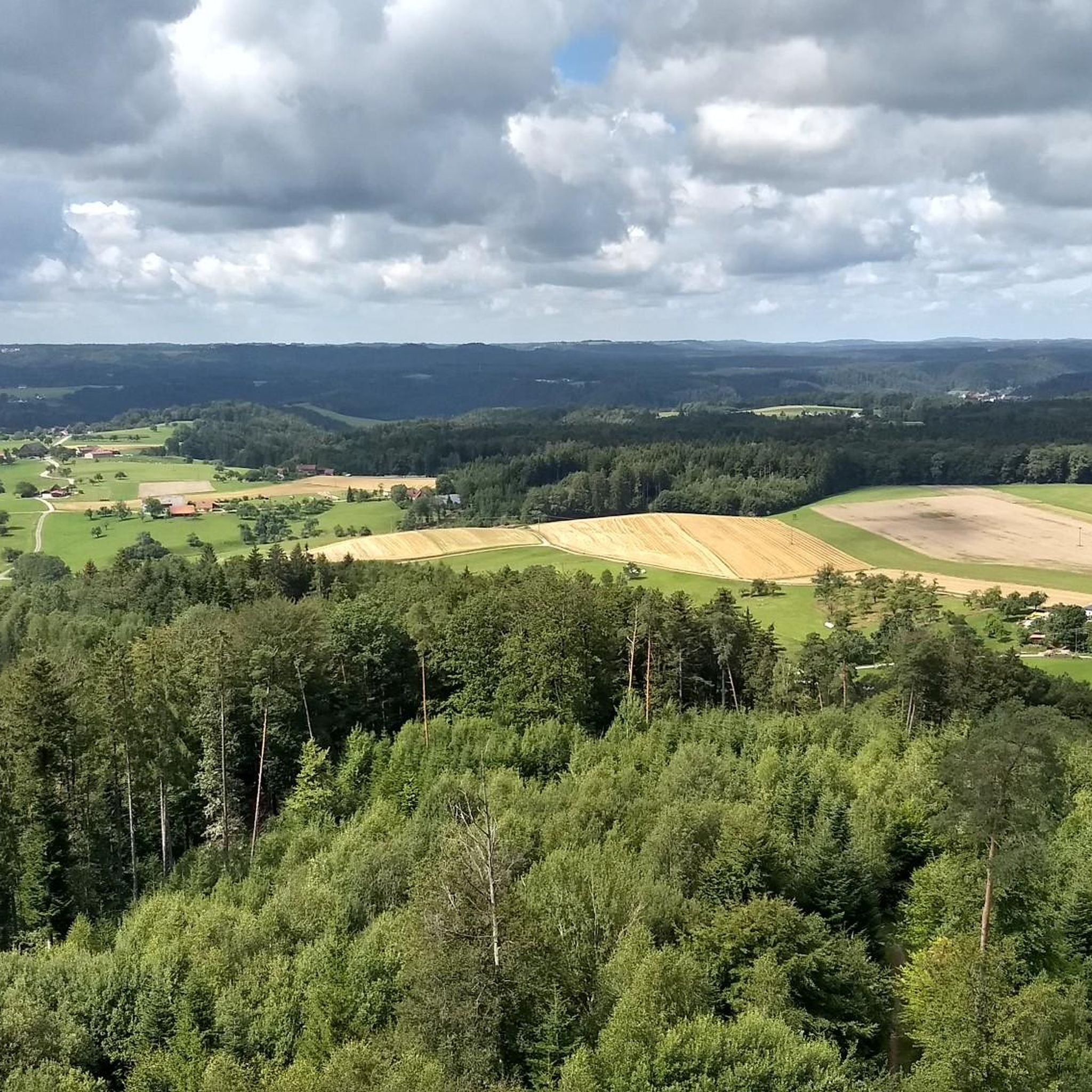
Road Cycling Routes around Sulzbach-Laufen
Other adventures around Landkreis Schwäbisch Hall


Tips from the Community

Stone arch by bike
0
0
Old wooden bridge explored by bike
0
0
Cycle path under the Kochertal bridge
0
0
Explored the Brettach valley by bike
0
0
Kochertalradweg by bike
0
0

An impressive castle perched just above Untergröningen.
0
0

Always beautiful again - I'll gladly come back
1
0

Beautiful, quite quiet road in wonderful nature
0
0
Frequently Asked Questions
What kind of terrain can I expect when road cycling in Landkreis Schwäbisch Hall?
Landkreis Schwäbisch Hall offers a diverse landscape for road cyclists. You'll find picturesque river valleys, such as those of the Kocher and Jagst, which provide relatively flat sections. These are interspersed with rolling hills and extensive forests, including parts of the Swabian-Franconian Forest Nature Reserve, offering engaging challenges with moderate elevation changes and shaded rides. The broader Hohenlohe region is known for its 'up and down' topography.
How many road cycling routes are available in Landkreis Schwäbisch Hall?
There are over 1200 road cycling routes available in Landkreis Schwäbisch Hall, catering to various skill levels. This includes approximately 210 easy routes, over 860 moderate routes, and around 140 difficult routes for more experienced cyclists.
Are there routes suitable for beginners or less experienced road cyclists?
Yes, the region offers numerous routes suitable for beginners. The river valleys, particularly along the Kocher and Jagst, provide flatter sections ideal for relaxed cycling. For example, the Starkholzbacher Lake – Obermühle–Oberrot Cycle Path loop from Schwäbisch Hall is a moderate 50.9 km path that explores the area around Starkholzbacher Lake and follows a cycle path, making it a good option for those looking for a less strenuous ride.
Are there challenging routes for experienced road cyclists?
Absolutely. For experienced road cyclists seeking a challenge, the region's rolling hills and varied topography provide plenty of opportunities. A more demanding option is the Climb to Nesselbach – Schöntal Monastery loop from Braunsbach, a difficult 98.8 km route with over 900 meters of elevation gain, offering a significant workout.
Are there any circular road cycling routes?
Yes, many road cycling routes in Landkreis Schwäbisch Hall are designed as loops, allowing you to start and end in the same location. A popular example is the Kocherschleife Covered Bridge – View of Hohenstadt loop from Fichtenberg, which is 85.6 km long and features varied terrain through the Kocher valley.
What natural features or viewpoints can I discover along the road cycling routes?
The region is rich in natural beauty. You can cycle past the tranquil Starkholzbacher Lake, explore the scenic Eselsklinge Gorge, or even encounter waterfalls like the Jagst River Waterfall and Pedestrian Bridge in Crailsheim. The Swabian-Franconian Forest Nature Reserve also offers secluded natural environments.
Are there historical towns or cultural sights to see while cycling?
Yes, the region is dotted with charming historical towns and cultural highlights. The town of Schwäbisch Hall itself boasts a beautiful old town along the Kocher River. Other notable sites include Kirchberg an der Jagst with its old town, and you might pass by the Langenburg Castle Gardens or the Ruins of St. Bartholomäus Church, Anhausen.
What is the best time of year for road cycling in Landkreis Schwäbisch Hall?
The spring, summer, and early autumn months generally offer the best conditions for road cycling in Landkreis Schwäbisch Hall. During warmer months, the extensive forests provide welcome shade. The rolling hills and river valleys are particularly scenic when the weather is mild.
Is public transport accessible near road cycling routes?
Landkreis Schwäbisch Hall has an established district cycling network that connects main towns and extends across district borders, often making public transport accessible to various starting points. It's advisable to check local public transport schedules and bike carriage policies for specific routes.
Are there facilities for bike repairs or services in the region?
Yes, the region is cycle-friendly and features numerous 'RadService-Punkte' equipped with tools and materials for bicycle repairs. These service points are strategically located along popular cycling routes to assist cyclists with any technical issues.
What do other road cyclists say about the routes in Landkreis Schwäbisch Hall?
The road cycling routes in Landkreis Schwäbisch Hall are highly rated by the komoot community, with an average score of 4.6 stars from over 1000 reviews. More than 12,000 road cyclists have used komoot to explore the region's varied terrain, often praising the scenic river valleys, well-maintained paths, and the engaging 'up and down' topography.
Are there routes that offer opportunities for cafe stops or refreshments?
Many routes pass through or near charming towns and villages where you can find cafes, restaurants, and pubs for refreshments. The cultural richness of the region means you're often not far from a place to stop and refuel, especially in towns like Schwäbisch Hall or Kirchberg an der Jagst.
What are some longer road cycling routes for extended tours?
For those looking for longer rides, the region offers several options. The Schönberg–Rotenhar Ascent – Old Castle Gaildorf loop from Gaildorf West is a 69.8 km route, while the Ellwangen – Bucher Reservoir loop from Crailsheim covers 66.9 km, providing ample distance for an extended tour.
Most popular routes around Landkreis Schwäbisch Hall
Most popular attractions around Landkreis Schwäbisch Hall

Get inspired with the komoot mobile app


Didn’t find what you were looking for?
Check out more Road cycling routes throughout Landkreis Schwäbisch Hall below and find the perfect route in your destination.
Explore more
Browse the best Road cycling routes in other regions.
