The best MTB trails around Cruseilles
4.3
(333)
1,586
riders
17
rides
Mountain biking around Cruseilles offers diverse landscapes, from challenging mountain ascents to scenic valley rides. The region is characterized by varied terrain, including limestone strata and dense woodlands, providing a rich environment for exploration. Prominent features like Mont Salève offer significant elevation changes and panoramic views. The Usses River Basin also contributes to the area's varied physical features, making it ideal for mountain biking.
Best mountain bike trails around Cruseilles
- The most popular mountain bike trail is Les Usses River…
Last updated: October 13, 2026
4.4
(18)
67
riders
33.1km
02:45
680m
670m
Moderate mountain bike ride. Good fitness required. Suitable for all skill levels.
4.7
(7)
92
riders
28.3km
03:00
770m
770m
Moderate mountain bike ride. Good fitness required. Advanced riding skills necessary.

4.2
(6)
36
riders
37.8km
03:53
1,040m
1,040m
Hard mountain bike ride. Very good fitness required. Advanced riding skills necessary.
4.6
(5)
39
riders
60.7km
06:53
2,130m
2,130m
Hard mountain bike ride. Very good fitness required. Advanced riding skills necessary. Some portions of the route may require you to push your bike.
3.0
(2)
26
riders
19.2km
01:57
560m
570m
Moderate mountain bike ride. Good fitness required. Advanced riding skills necessary.
Get access to more routes and recommendations from other explorers.
Already have an account?
Our route recommendations are based on thousands of hikes, rides, and runs completed by other people on komoot.
Start today with a free account
Your next adventure awaits.
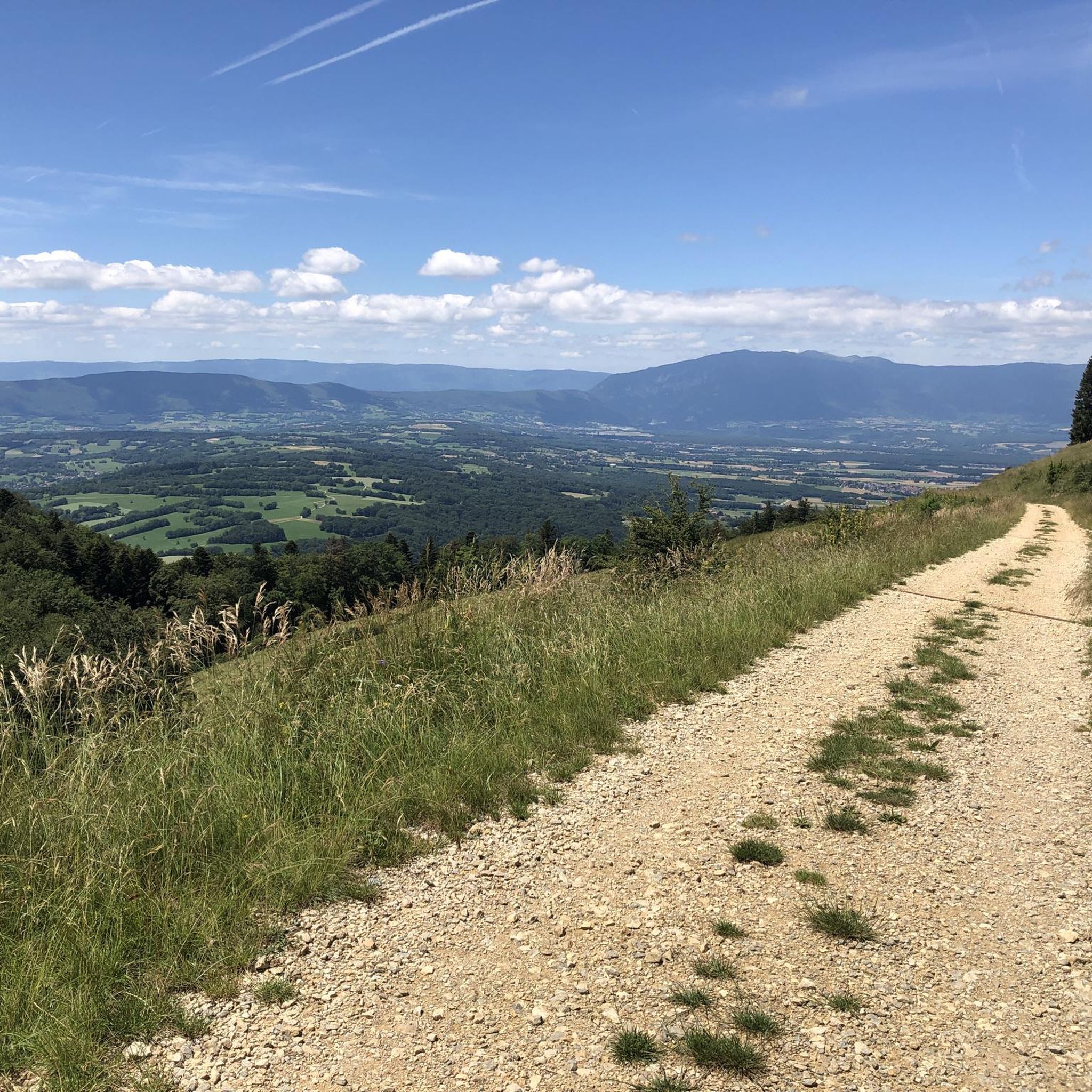
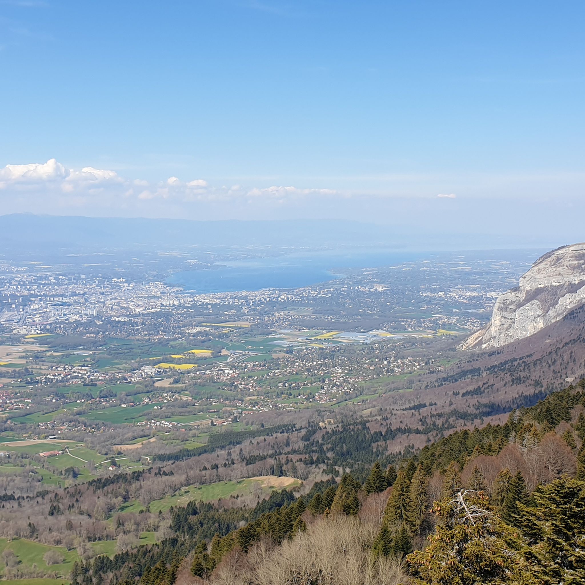
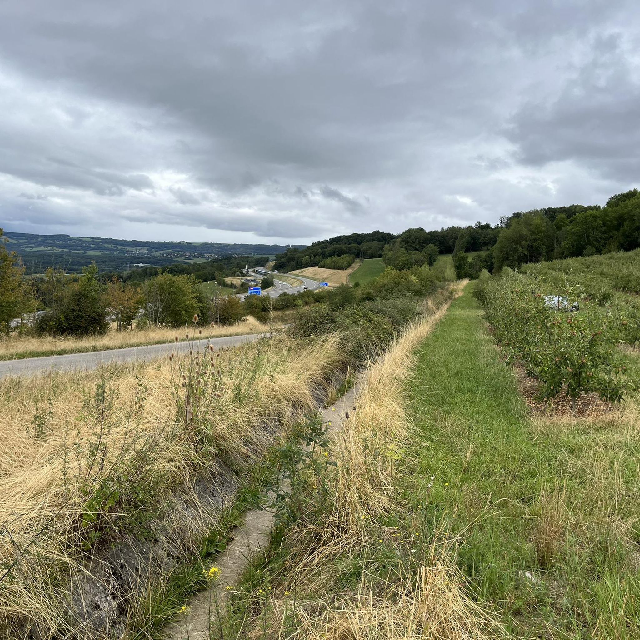
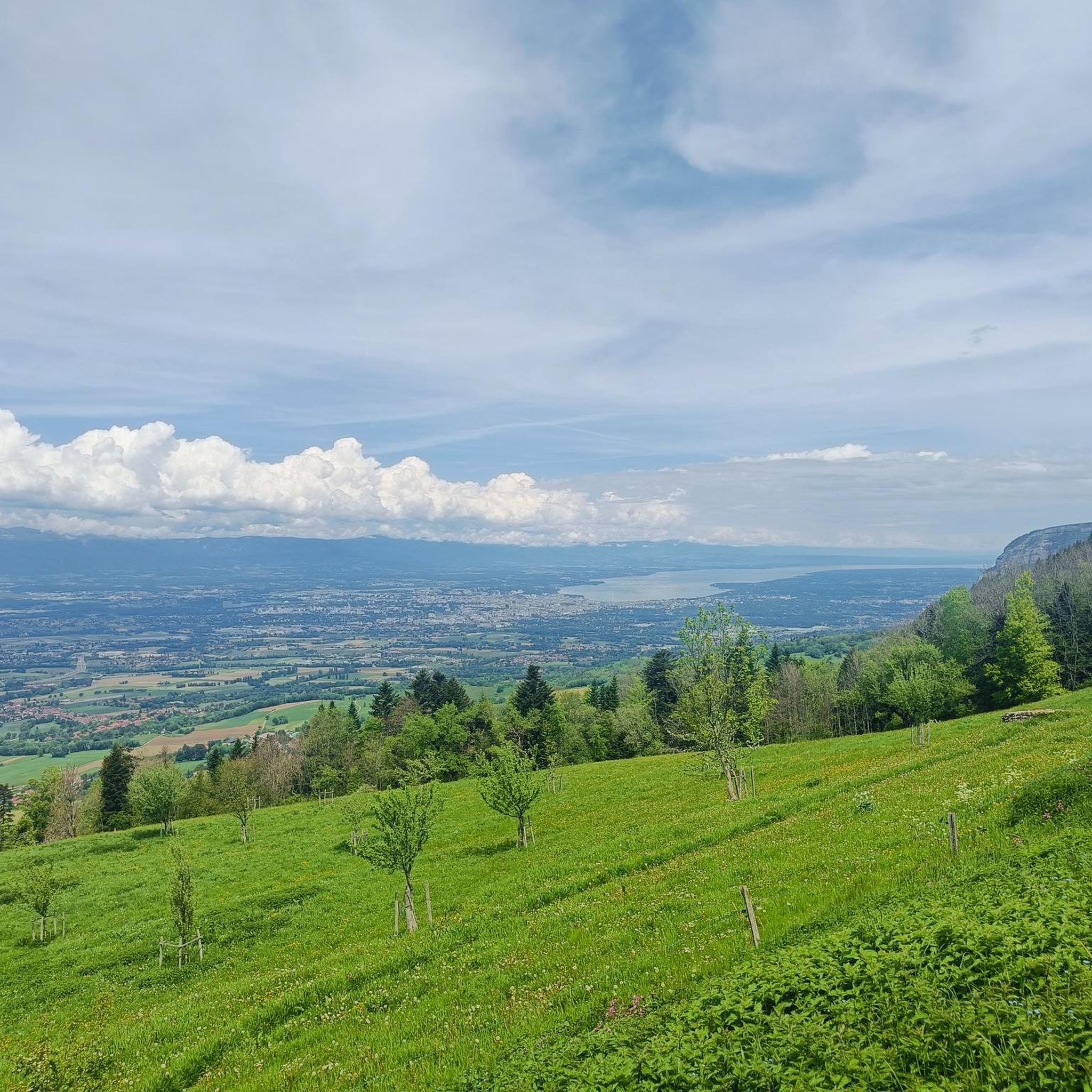

Tips from the Community

To the NE of the lake, following the route des follats, near the animal park, you'll find a developed area with tables, notably under a shelter, a water point, toilets… In short, a comfortable bivouac spot. You probably won't be alone, but it's an opportunity to break the solitude of your long bike tour.
0
0

The section from La Muraz to Cruseille, passing through Le Sappey, and then the climb from Cruseille to La Croisette are really nice. Beautiful road, few cars and gentle slope!
0
0

the guard trail is magnificent... good physical condition
0
0

This lake is divided into a large lake and a small canal. Trout fishing is practiced here, as well as carp fishing. Special permits are available in several shops and bars in town. Main fish: rainbow trout, carp, roach, bream, catfish, pike, perch, etc. Depth: generally 1.5m to 2m, but near the dike, it can be between 4 and 5m.
2
0
Intersection point les Dronières (Parking) Altitude 790m
1
0
The summit of Salève is located at the Grand Piton, at 1,379 meters, where this site, adorned with a tower, offers hikers a sumptuous panorama of Geneva, Lake Geneva, and the Jura Mountains. The tower was erected between 1820 and 1830 by Claude-François Bastian, a wealthy notary and mayor of Frangy. Before the construction of this tower, this small cliff-edge plateau, which boasts the most beautiful limestone pavements of Salève, housed a lookout post in the 14th century. At the foot of the tower, to the northeast, you can enjoy finding a cartouche engraved in the limestone with the names of Lord Byron and Lamartine.
0
0
Point of intersection the Grand Piton Altitude 1379m
0
0
Intersection point Alpage des Crêts altitude 1300m
1
0
Frequently Asked Questions
How many mountain bike trails are there around Cruseilles?
There are 18 mountain bike trails around Cruseilles, catering to various skill levels. You'll find 1 easy route, 12 moderate routes, and 5 difficult routes to explore.
What kind of terrain can I expect on mountain bike trails in Cruseilles?
Cruseilles offers diverse terrain, from challenging mountain ascents on prominent features like Mont Salève to scenic valley rides along the Usses River Basin. The region is characterized by limestone strata and dense woodlands, providing varied physical features and significant elevation changes. Routes often involve long forest climbs, rewarding riders with breathtaking vistas.
Are there mountain bike trails for beginners in Cruseilles?
While many routes are moderate to difficult, there is at least one easy mountain bike trail available. For a generally moderate experience with scenic riverside paths and natural park scenery, consider the Les Usses River Picnic Spot – Lake Dronières loop from Cruseilles.
Are there any challenging mountain bike routes for experienced riders?
Yes, Cruseilles offers several challenging routes. The Mont Salève area is particularly known for its demanding climbs and significant elevation gains. For instance, the Plan du Salève – View of Mont Blanc loop from Cruseilles is a difficult 37.5-mile (60.3 km) trail with over 2,100 meters of elevation gain. Another difficult option is the View of Mont Blanc – View of Mont Blanc loop from Cruseilles, which covers 38 miles (38.1 km) with over 1,000 meters of ascent.
Can I find mountain bike trails with panoramic views in Cruseilles?
Absolutely. Mont Salève is a key feature for panoramic views, offering challenging climbs that reward riders with breathtaking vistas of the surrounding Alps, including Mont Blanc. The Le Grand Piton – Plan du Salève loop from Cruseilles provides challenging climbs and rewarding views from the Salève massif. The Tête de la Mandallaz also offers expansive panoramic views of the Annecy metropolitan area and Lake Annecy.
What natural features and landmarks can I explore while mountain biking in Cruseilles?
Cruseilles is rich in natural beauty and historical landmarks. You can encounter the dramatic Usses River Basin and the historic Pont de la Caille. The region also features natural geological formations like the Trou de la Tine and the Grotte d'Orjobet. The Croisette Pass and Col des Pitons are notable mountain passes in the area.
Are there any family-friendly mountain bike trails in Cruseilles?
While specific family-friendly mountain bike trails are not detailed, the Parc des Dronières offers a nature park environment with a health trail, animal park, and picnic areas, which could be suitable for easier rides or as a starting point for families. For dedicated mountain biking, look for the easier-rated routes.
What is the best time of year for mountain biking in Cruseilles?
The diverse terrain of Cruseilles makes it suitable for mountain biking across various seasons. Summer offers pleasant conditions for exploring the higher elevations and enjoying the full network of trails. However, the region's varied landscape means that even in cooler months, there are often rideable options, though winter conditions at higher altitudes like Mont Salève may require caution due to snow or ice.
Are there mountain bike trails that are circular routes?
Yes, many of the mountain bike trails around Cruseilles are designed as loops. Examples include the Les Usses River Picnic Spot – Lake Dronières loop from Cruseilles, the Le Grand Piton – Plan du Salève loop from Cruseilles, and the Iselet Pond – Lake Dronières loop from Cruseilles, providing convenient starting and ending points.
What do other mountain bikers say about the trails in Cruseilles?
The mountain bike trails around Cruseilles are highly rated by the komoot community, with an average score of 4.3 stars from over 290 reviews. More than 1,600 mountain bikers have used komoot to explore the varied terrain, often praising the diverse landscapes, challenging ascents, and rewarding views.
Are there any cafes or places to eat near the mountain bike trails?
While specific cafes directly on the trails are not detailed, Cruseilles and nearby villages offer amenities. The Parc des Dronières has picnic areas, and the proximity to Lake Annecy (about 15 km away) provides additional recreational opportunities and dining options after your ride.
Are there any specific permits required for mountain biking in Cruseilles?
The Enduro VTT Cruseilles Salève area on the Grande Montagne is an official and legal enduro mountain biking zone. Generally, most trails in the region are open for public access. However, it's always advisable to check local regulations or signage for any specific restrictions or permits that might apply to certain private lands or protected areas.
Most popular routes around Cruseilles
Most popular attractions around Cruseilles

Get inspired with the komoot mobile app


Explore more
Browse the best MTB trails in other regions.
