The best walks and hikes around Entremont
4.4
(4831)
59,235
hikers
637
hikes
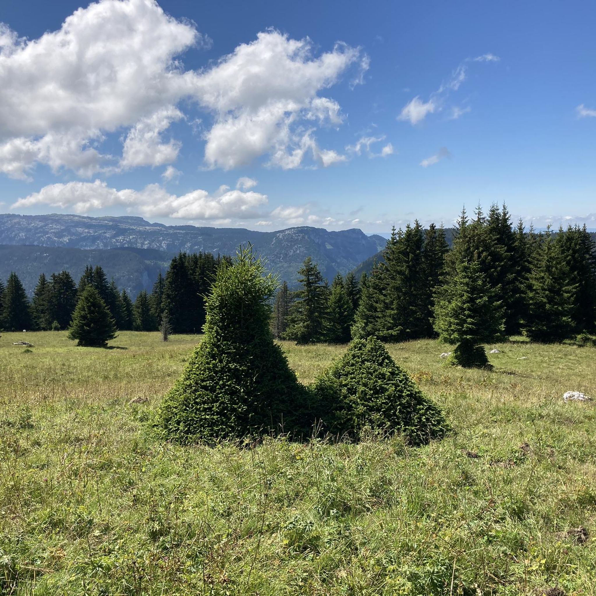
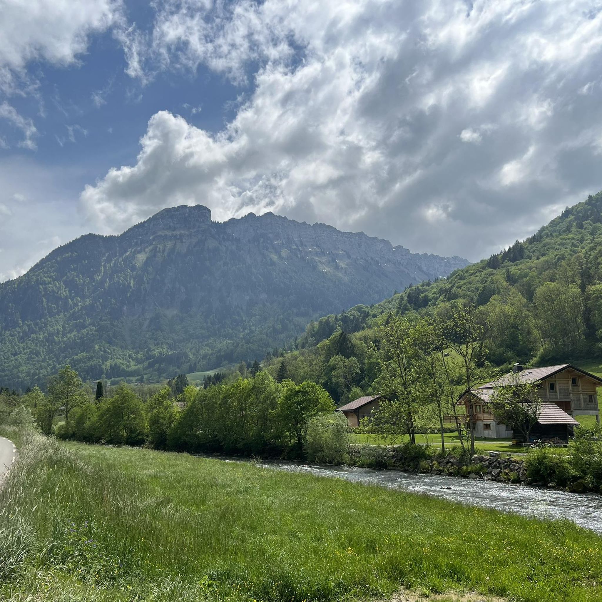
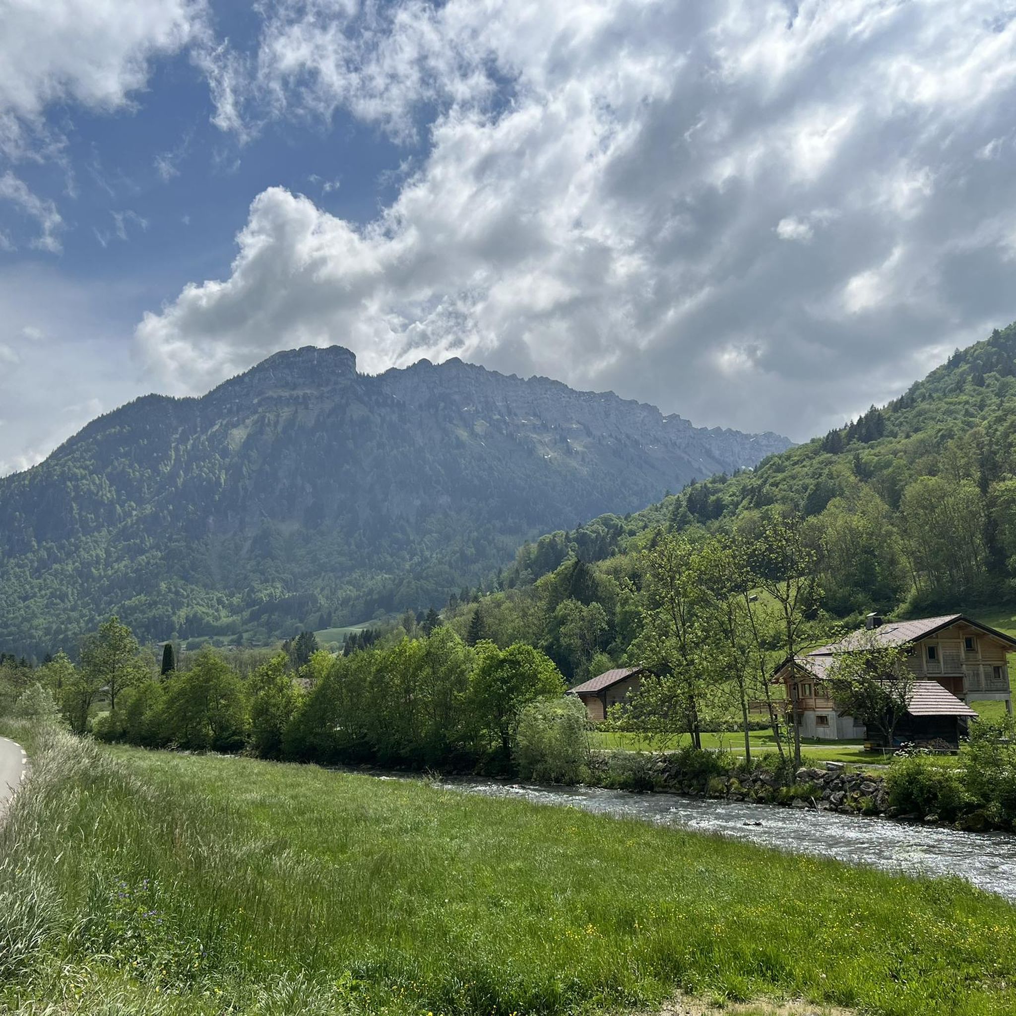
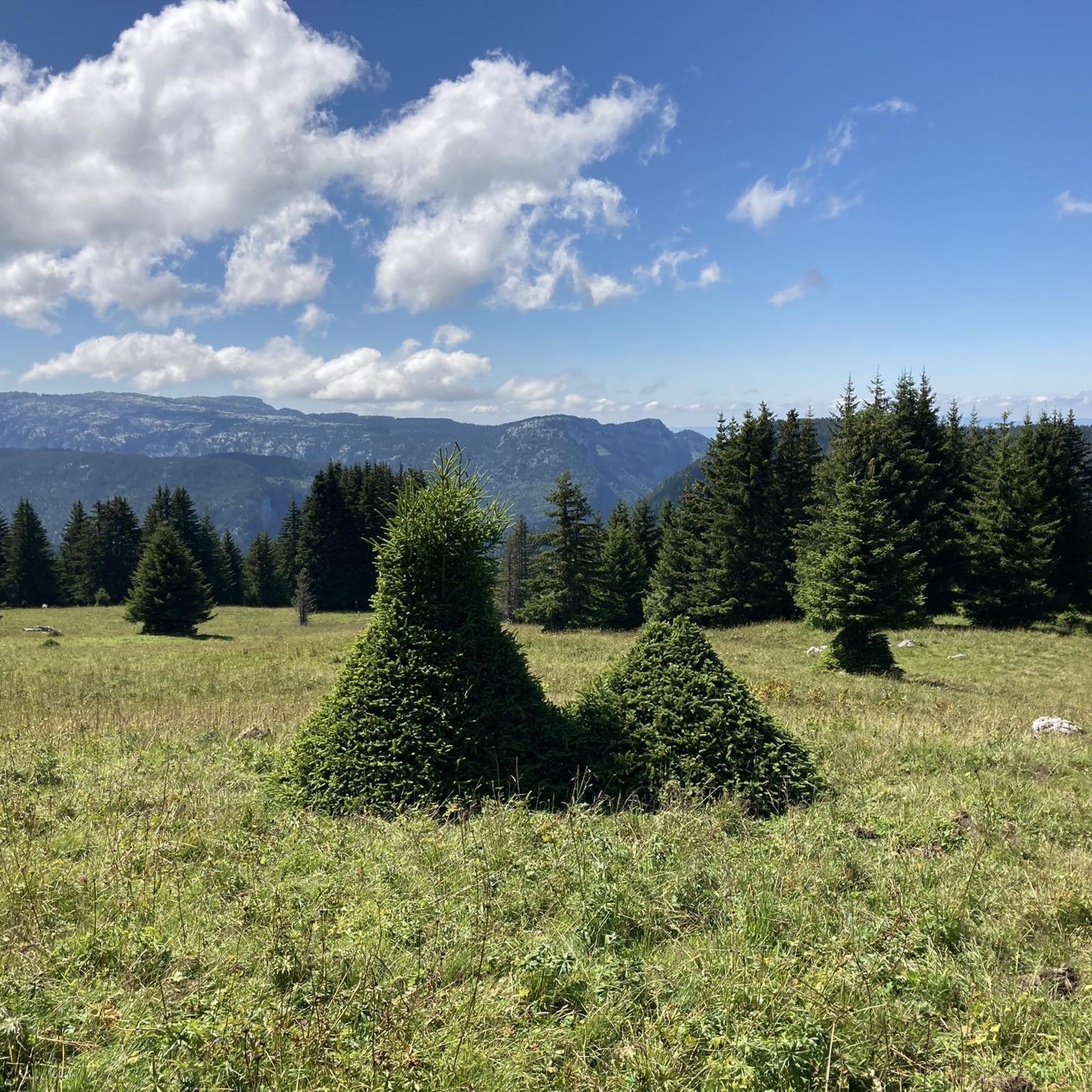
Hiking around Entremont offers diverse terrain characterized by mountainous landscapes, including cols (mountain passes), and features such as waterfalls and lakes. The region's trails often traverse valleys and lead to alpine chalets and refuges. These routes provide opportunities to explore varied natural environments.
Best hiking trails around Entremont
- The most popular hiking route is Col de la Forclaz – Vue depuis la Culaz loop from La Culaz, a 6.1 miles (9.8 km) trail that takes 4 hours 23 minutes…
Last updated: October 13, 2026
5.0
(3)
56
hikers
12.2km
05:18
900m
900m
Hard hike. Very good fitness required. Mostly accessible paths. Sure-footedness required.
4.4
(13)
31
hikers
Moderate hike. Great for any fitness level. Mostly accessible paths. Sure-footedness required.

3.0
(2)
28
hikers
8.62km
03:17
540m
540m
Moderate hike. Good fitness required. Mostly accessible paths. Sure-footedness required.
5.0
(2)
28
hikers
16.1km
05:20
800m
800m
Hard hike. Very good fitness required. Easily-accessible paths. Suitable for all skill levels.
4.5
(2)
18
hikers
3.31km
02:04
370m
370m
Hard hike. Good fitness required. Sure-footedness, sturdy shoes and alpine experience required.
Get access to more routes and recommendations from other explorers.
Already have an account?
Our route recommendations are based on thousands of hikes, rides, and runs completed by other people on komoot.
Start today with a free account
Your next adventure awaits.

Tips from the Community


Nice Village very panoramic. in the 2nd world war It was hosting the rebels
0
0

The Col de la Forclaz allows you to go to the refuge and the Lac de Lessy but also to the chalet de Mayse as well as the Rocher de Salin leading to the Paradis car park.
0
0

The Col de la Forclaz is located at an altitude of 1,844 meters. From there, we have an incredible view of Lake Lessy and the surrounding peaks.
0
0

Starting point for the cols of Colombière and Avaris.
1
0

Wonderful views on the Lac de Lessy on one side and the Aravis on the other side.
1
0

At the entrance to the village from the Borne Valley is the Col de St.-Jean-de-Sixt, which marks the watershed between Borne / Arve and the Nom / Fier.
1
0
Frequently Asked Questions
What types of landscapes can I expect to see while hiking in Entremont?
Hiking in Entremont offers diverse mountainous landscapes, characterized by impressive cols (mountain passes), serene valleys, and features such as waterfalls and lakes. You'll often find trails leading to charming alpine chalets and refuges, providing a true mountain experience.
How many hiking trails are available in Entremont?
Entremont boasts a wide selection of hiking opportunities, with over 640 trails recorded. This includes a variety of routes suitable for different skill levels, from easy strolls to more challenging ascents.
Are there easy hiking trails suitable for beginners or families in Entremont?
Yes, Entremont offers a good number of easier trails. There are over 170 routes classified as easy, perfect for beginners or families looking for a less strenuous outing. For example, the Cascade de Saint-Jean – Site of the 3 Bridges loop from Saint-Jean-de-Sixt is a moderate option that is relatively short and features a waterfall.
What are some challenging hiking options in Entremont?
For experienced hikers seeking a challenge, Entremont has over 140 difficult routes. These trails often feature significant elevation gains and longer distances. An example of a more demanding route is the Chalets de Mayse – Col de la Forclaz loop from Glières-Val-de-Borne, which covers 7.6 miles with considerable ascent.
Are there any circular hiking routes in Entremont?
Many of Entremont's trails are designed as loops, allowing you to start and finish at the same point. Popular examples include the Col de la Forclaz – Vue depuis la Culaz loop from La Culaz and the Col de la Forclaz – Lessy Refuge loop from La Culaz, both offering scenic mountain views.
What natural attractions or points of interest can I find along the trails in Entremont?
Entremont's hiking trails lead to several beautiful natural attractions. You can discover stunning lakes such as Lessy lake, Lake Peyre, and Confins Lake. The region also offers impressive mountain peaks and viewpoints like Fly Hole and Tête du Danay — view of the Aravis (1,730 m), providing panoramic vistas.
Are there any trails that feature waterfalls in Entremont?
Yes, the region is known for its waterfalls. The Cascade de Saint-Jean – Site of the 3 Bridges loop from Saint-Jean-de-Sixt is a notable route that includes a waterfall, offering a refreshing natural spectacle.
What do other hikers say about the trails in Entremont?
The hiking routes in Entremont are highly regarded by the komoot community, with an average rating of 4.5 stars from over 3900 reviews. More than 51,000 hikers have used komoot to explore the varied terrain, often praising the scenic mountain passes, alpine chalets, and beautiful natural features like lakes and waterfalls.
What is the best time of year to go hiking in Entremont?
Given its mountainous terrain, the best time for hiking in Entremont is generally from late spring through early autumn (May to October). During these months, the weather is typically more favorable, and trails are clear of snow, allowing access to higher elevations and alpine areas.
Are dogs allowed on hiking trails in Entremont?
While specific regulations can vary by trail or protected area, many trails in mountainous regions like Entremont are generally dog-friendly, especially if kept on a leash. It's always recommended to check local signage or specific route details for any restrictions before heading out with your dog.
Are there any hikes in Entremont that lead to lakes?
Absolutely! Entremont features several beautiful lakes that can be reached by hiking. For instance, the Hike to the lake loop from Glières-Val-de-Borne is a moderate trail that takes you to a picturesque lake, offering a rewarding destination.
Most popular routes around Entremont
Most popular attractions around Entremont

Get inspired with the komoot mobile app


Explore more
Browse the best Hikes in other regions.
