The best walks and hikes around Lay-Saint-Christophe
4.5
(637)
4,323
hikers
16
hikes
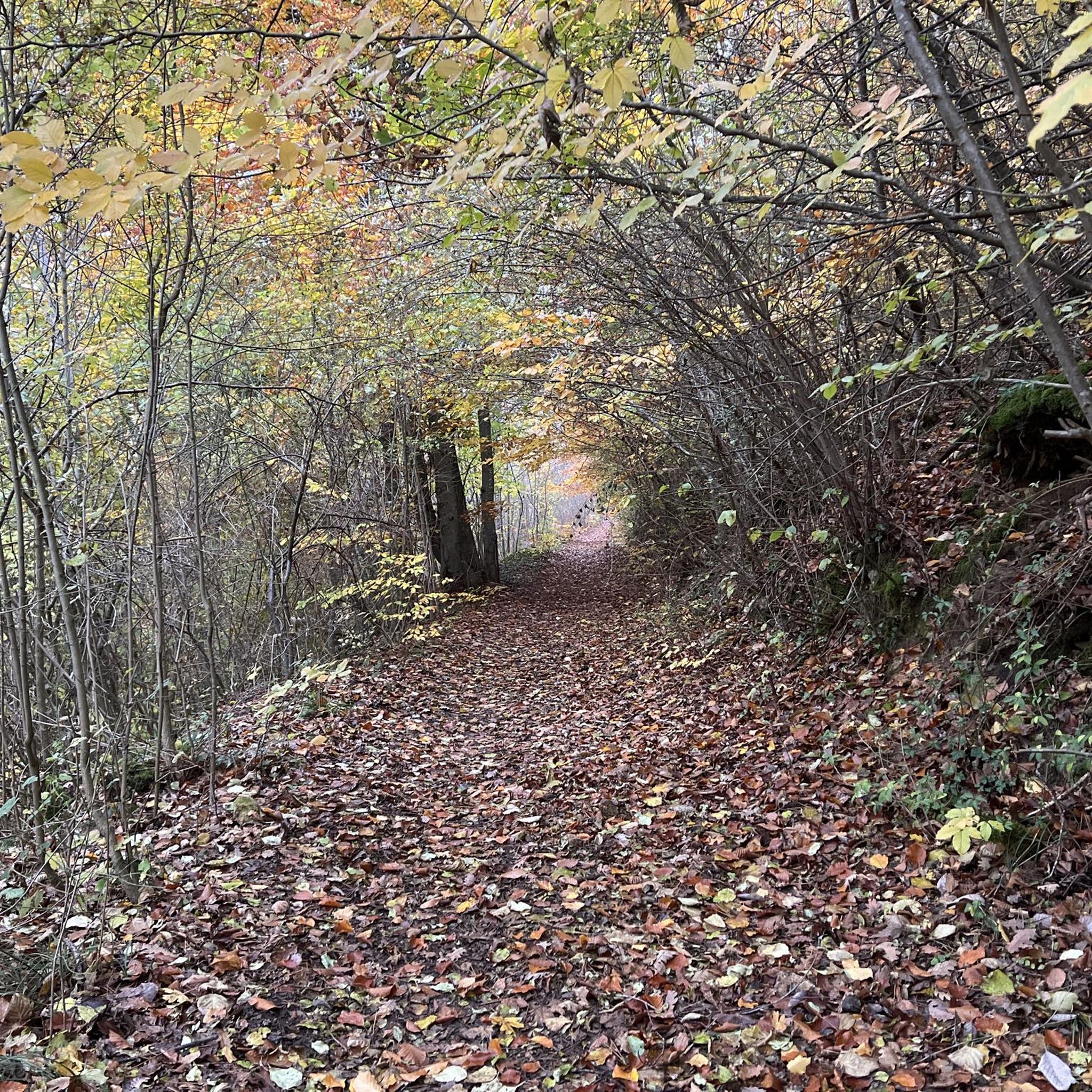
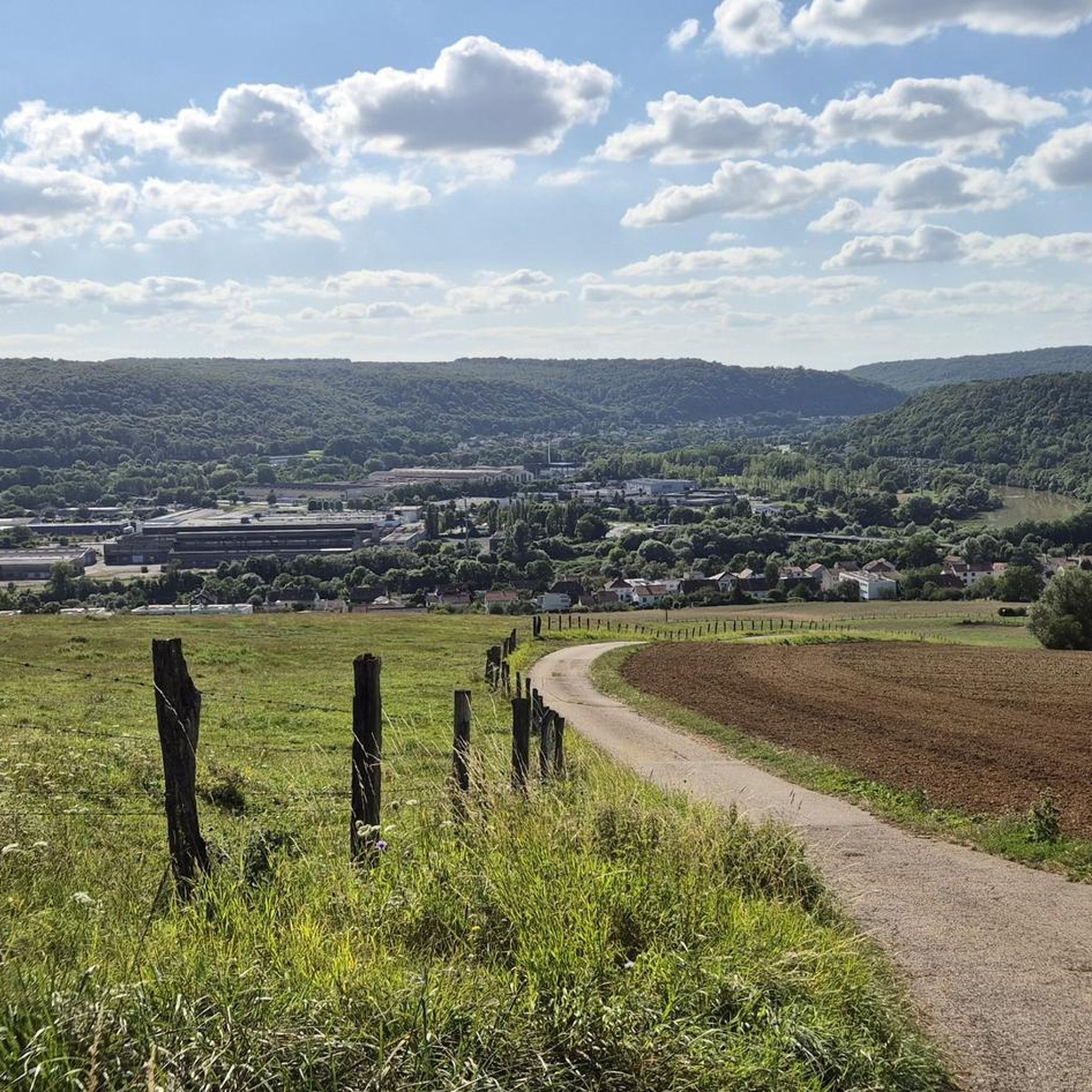
Hiking around Lay-Saint-Christophe offers diverse trails across varied terrain. The region is characterized by dense forests, including beech forests, and features the scenic Grand Couronné plateau. Elevation gains on trails can range from gentle slopes to more significant ascents, providing options for different fitness levels. The landscape primarily consists of verdant natural environments.
Best hiking trails around Lay-Saint-Christophe
- The most popular hiking route is Circuit L: Faulx Variant Loop, a 9.6 miles (15.4 km) trail that takes 4 hours…
Last updated: October 9, 2026
5.0
(1)
18
hikers
Moderate hike. Good fitness required. Easily-accessible paths. Suitable for all skill levels.
5.0
(1)
10
hikers
10.1km
02:50
200m
200m
Moderate hike. Good fitness required. Easily-accessible paths. Suitable for all skill levels.

5.0
(1)
9
hikers
Easy hike. Great for any fitness level. Easily-accessible paths. Suitable for all skill levels.
3
hikers
7.68km
02:06
120m
120m
Moderate hike. Good fitness required. Easily-accessible paths. Suitable for all skill levels.
5
hikers
Easy hike. Great for any fitness level. Easily-accessible paths. Suitable for all skill levels.
Get access to more routes and recommendations from other explorers.
Already have an account?
Our route recommendations are based on thousands of hikes, rides, and runs completed by other people on komoot.
Start today with a free account
Your next adventure awaits.
Tips from the Community


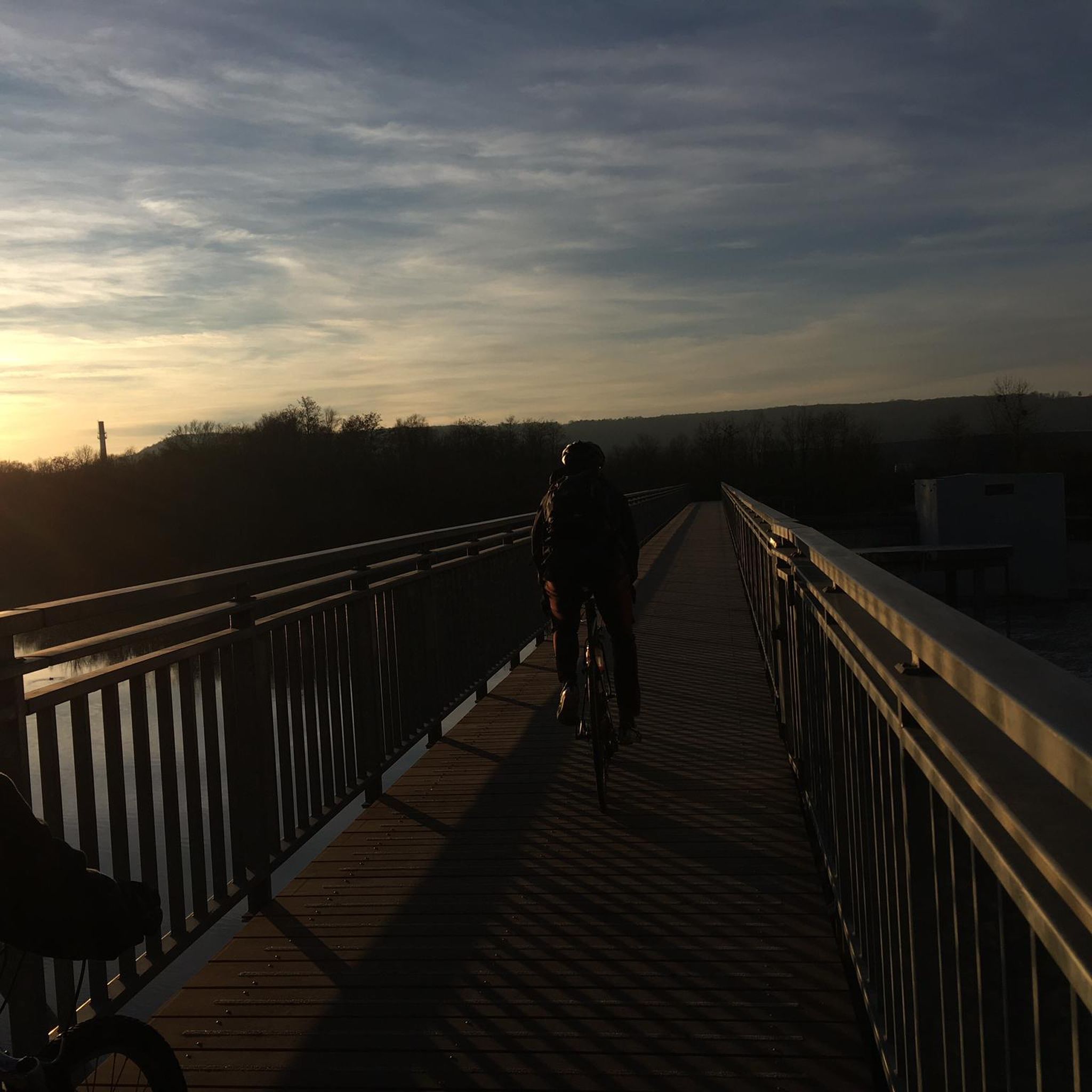
Pedestrian and bicycle bridge over the Mörthe.
1
0

Nice crossing point, even starting point on the greenway along the Meurthe.
2
0


to connect east and west
2
1

We really enjoyed cycling here - just great
3
0

Large brewery - you can smell it
2
0

Footbridge spanning the Meurthe from one side to the other. Convenient for making a loop around the Rives-de-Meurthe.
4
0
Frequently Asked Questions
How many hiking trails are there in Lay-Saint-Christophe?
There are over 400 hiking trails around Lay-Saint-Christophe, offering a wide variety of options for different skill levels and preferences. The komoot community has rated these routes highly, with an average score of 4.5 stars.
What kind of terrain and difficulty can I expect on hikes around Lay-Saint-Christophe?
The terrain around Lay-Saint-Christophe is diverse, characterized by dense forests, including beech forests, and the scenic Grand Couronné plateau. You'll find paths ranging from easy walks with gentle slopes to more challenging routes involving significant ascents. There are over 200 easy routes, 180 moderate routes, and a few more difficult trails available.
What are the typical durations of hikes in the Lay-Saint-Christophe area?
Hikes vary significantly in length and duration. You can find shorter walks, such as the Crany Tower – Notre dame d'Eulmont loop from Eulmont, which takes about 2 hours. Longer routes, like the Circuit L: Faulx Variant Loop, can take over 4 hours to complete.
Are there many circular hiking routes around Lay-Saint-Christophe?
Yes, many of the trails around Lay-Saint-Christophe are circular routes, allowing you to start and end at the same point. Examples include the popular Circuit L: Faulx Variant Loop and the Plateau de Malzéville – Orientation table loop from Champigneulles.
What landmarks or points of interest can I see along the hiking trails?
Many trails offer views of notable landmarks. For instance, the Circuit L: Faulx Variant Loop passes the historic Crany Tower. The Plateau de Malzéville – Orientation table loop from Champigneulles provides scenic views from the Plateau de Malzéville. Beyond the trails, you might explore attractions like Stanislas Square or the Confluence of the Moselle and Meurthe rivers.
What do other hikers enjoy the most about hiking in Lay-Saint-Christophe?
The area is highly rated by the komoot community, with an average score of 4.5 stars from over 600 reviews. Hikers often praise the diverse terrain, the immersive experience within natural environments like the Grand Couronné plateau, and the variety of trails suitable for different fitness levels.
Are there family-friendly hiking trails in Lay-Saint-Christophe?
Yes, Lay-Saint-Christophe offers numerous easy trails suitable for families. For example, the Abbey – Cloister loop from Bouxières-aux-Dames is an easy 5.4 km route that can be completed in under 1.5 hours, making it a good option for a family outing.
Are there dog-friendly hiking trails in Lay-Saint-Christophe?
Many trails in the natural environment around Lay-Saint-Christophe are suitable for dogs, provided they are kept under control. It's always recommended to check local regulations for specific areas or nature reserves before heading out with your dog.
What are the parking options for hikers in Lay-Saint-Christophe?
While specific parking areas for each trail are not detailed, many trailheads in and around Lay-Saint-Christophe, especially in smaller villages or near popular starting points, typically offer roadside parking or designated small parking lots. It's advisable to check the starting point of your chosen route on komoot for more precise parking information.
When is the best time of year to go hiking in Lay-Saint-Christophe?
The region offers pleasant hiking conditions through spring, summer, and autumn, with verdant forests and varied terrain. Spring brings blooming flora, while autumn showcases beautiful fall colors. Summers are generally mild, making it suitable for outdoor activities. Winter hiking is possible but may require appropriate gear due to colder temperatures.
Are there easy hiking options available for beginners or casual walkers?
Absolutely. Over half of the trails around Lay-Saint-Christophe are classified as easy. An example is the Crany Tower – Notre dame d'Eulmont loop from Eulmont, an easy 6.9 km trail that takes less than 2 hours to complete, offering varied countryside without significant challenges.
Are there places to eat or drink near the hiking trails?
Lay-Saint-Christophe and its surrounding communes offer various amenities. While specific cafes directly on every trail are not guaranteed, you will find options for refreshments and meals in the villages and towns near the trailheads. For broader outdoor activities and local information, you can explore resources like coeurdelorraine-tourisme.co.uk.
Most popular routes around Lay-Saint-Christophe
Most popular attractions around Lay-Saint-Christophe

Get inspired with the komoot mobile app


Explore more
Browse the best Hikes in other regions.
