The best walks and hikes around Scionzier
4.5
(2218)
27,358
hikers
325
hikes
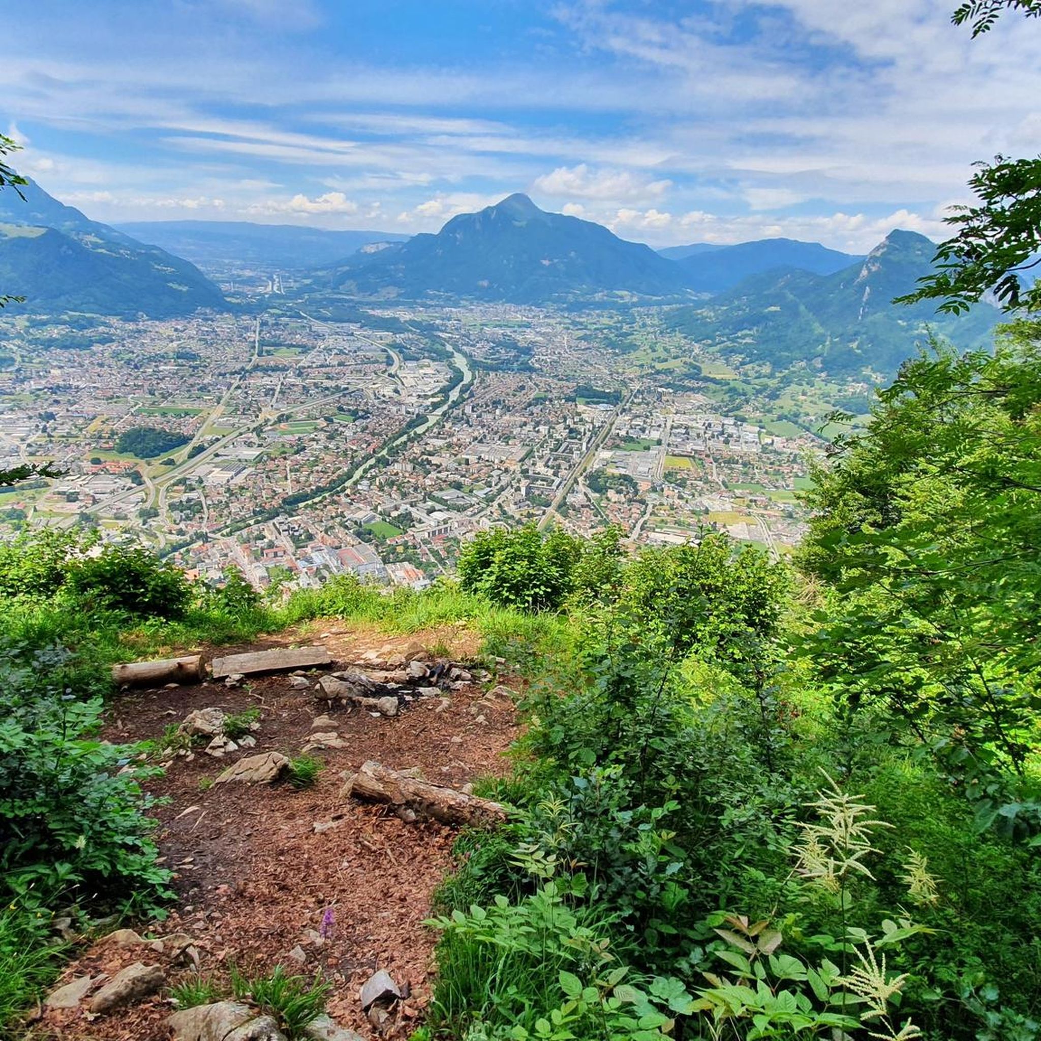
Hiking around Scionzier offers diverse landscapes within the Haute-Savoie department of the French Alps. The region is characterized by mountainous terrain, providing views of Mont Blanc and featuring significant passes such as Col des Annes. Natural attractions include the 270-meter Arpenaz Waterfall and the Gorges du Bronze, which contribute to varied hiking environments. This area provides a mix of high mountain trails, forested paths, and impressive natural monuments.
Best hiking trails around Scionzier
- The most popular hiking route is View…
Last updated: July 9, 2026
4.0
(3)
56
hikers
16.8km
05:32
790m
790m
Hard hike. Very good fitness required. Easily-accessible paths. Suitable for all skill levels.
4.7
(11)
140
hikers
14.9km
05:05
790m
790m
Hard hike. Very good fitness required. Easily-accessible paths. Suitable for all skill levels.

Sign up for free
4.0
(1)
38
hikers
7.05km
02:39
480m
480m
Moderate hike. Good fitness required. Easily-accessible paths. Suitable for all skill levels.
16
hikers
16.0km
06:10
1,010m
1,010m
Hard hike. Very good fitness required. Mostly accessible paths. Sure-footedness required.
18
hikers
7.58km
01:56
20m
20m
Easy hike. Great for any fitness level. Easily-accessible paths. Suitable for all skill levels.
Get access to more routes and recommendations from other explorers.
Sign up for free
Already have an account?
Our route recommendations are based on thousands of hikes, rides, and runs completed by other people on komoot.
Start today with a free account
Your next adventure awaits.
Login or Signup
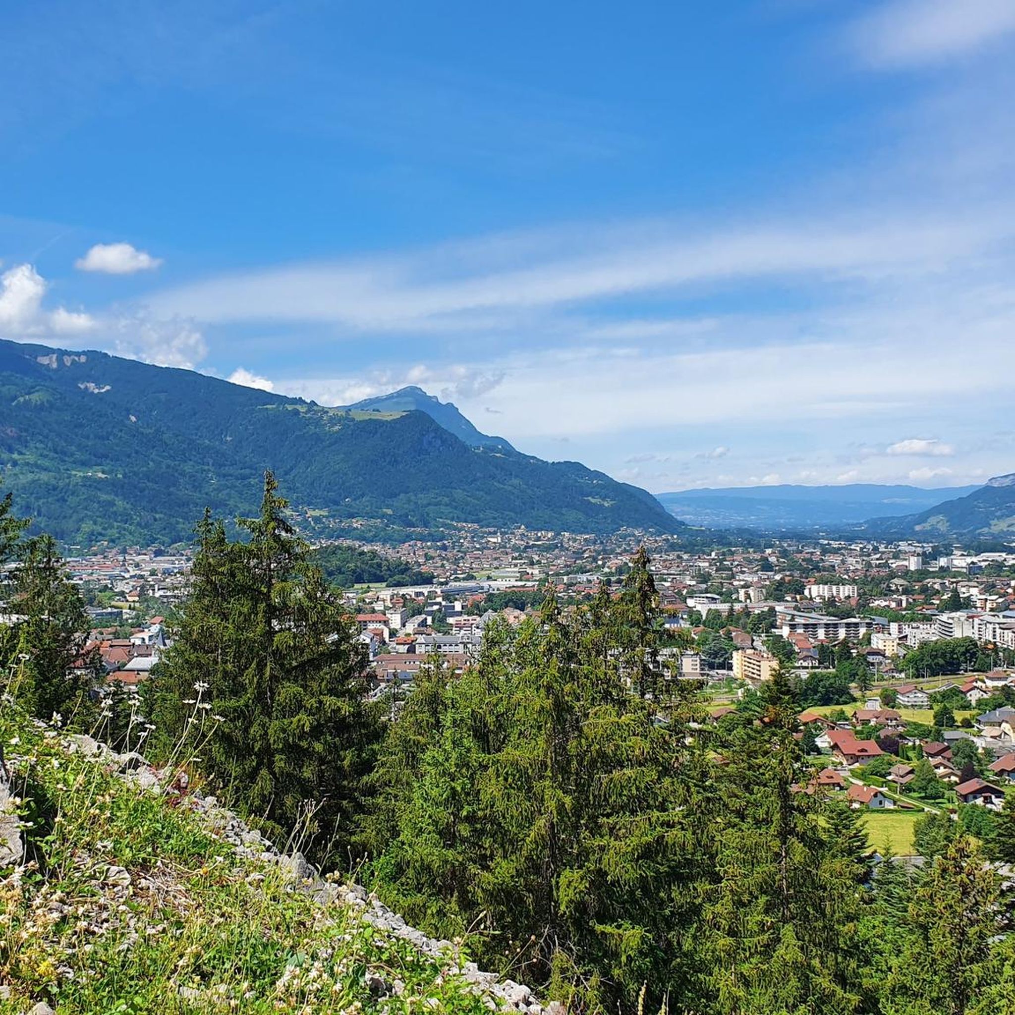
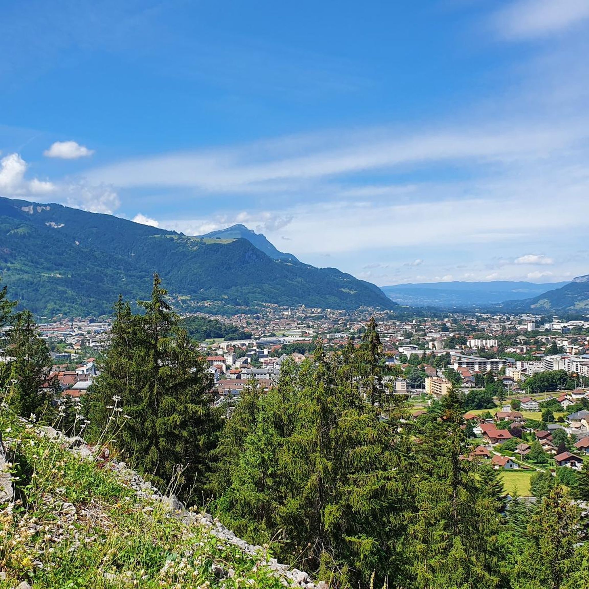
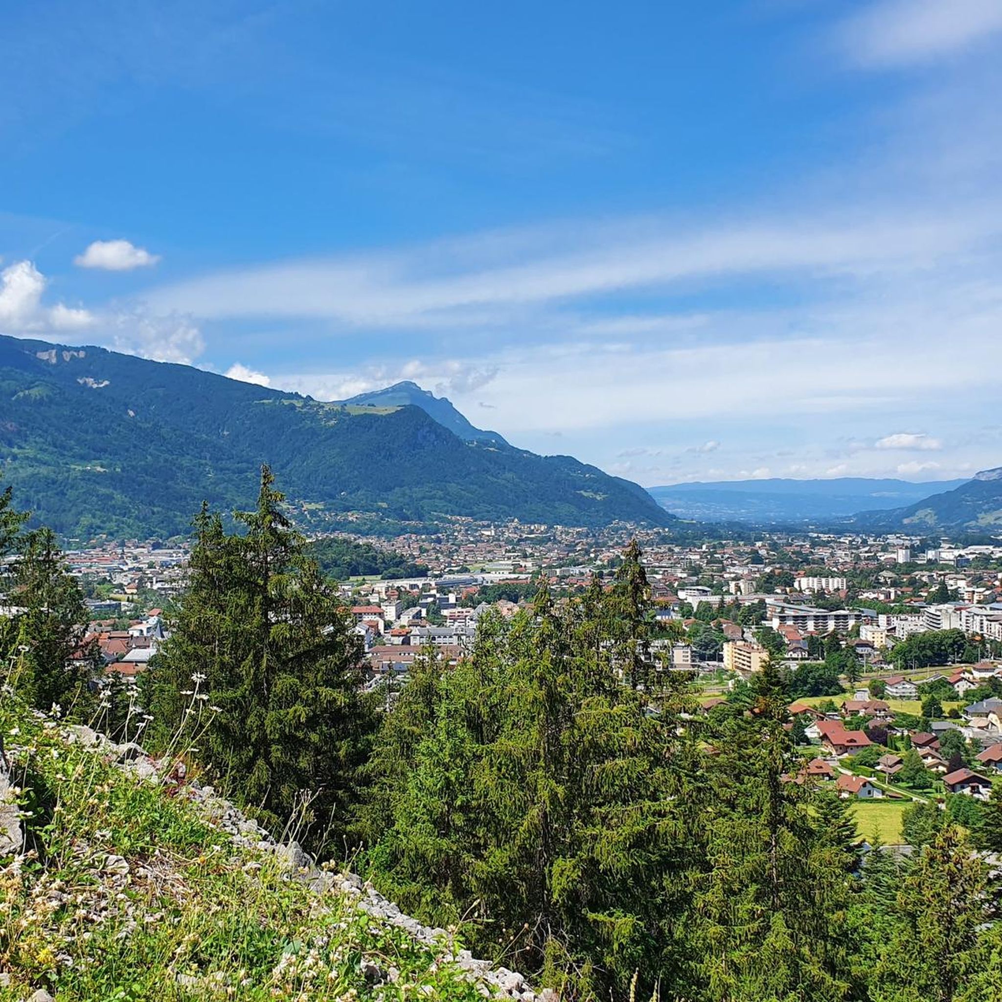

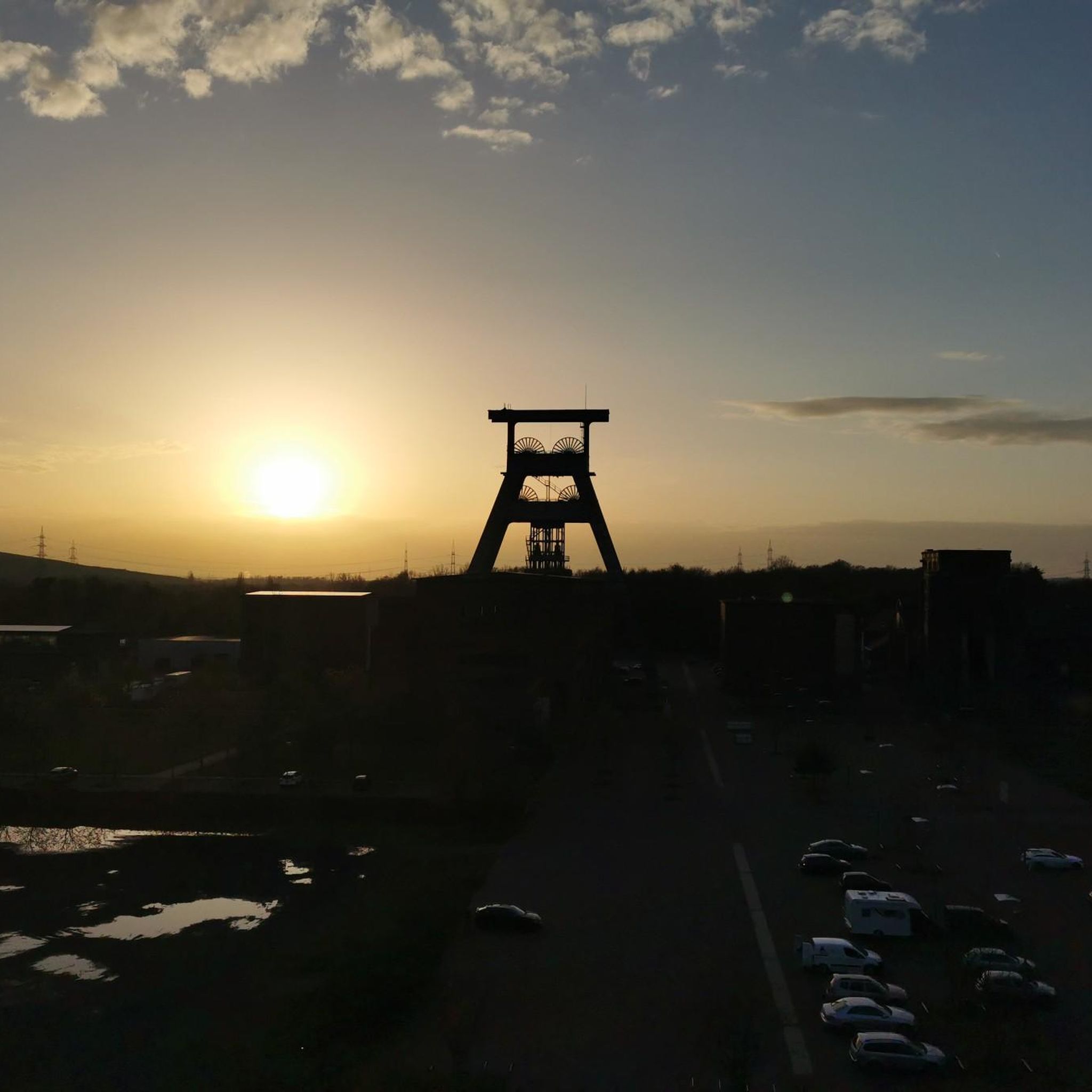
Tips from the Community

The chapel of Romme was founded in 1676. It was burned down three times (1775, 1861, 1893). The last reconstruction dates from 1910, after the terrible fire of 1893 which destroyed almost the entire hamlet.
1
0

An ideal chalet for a picnic break, sheltered from the sun or rain. The chalet is freely accessible and unsupervised. It has only one table.
0
0
Discover the pretty Romme chapel in the center of the hamlet.
0
0
Very beautiful lake overlooked by the Bargy mountain range!
0
0

going around the lake we can climb a small path which takes us to the opposite side of the lake and make a loop.
0
0
Lake Bénit is located at an altitude of 1,452 meters, on the northern slope (ubac) of the Bargy chain, in the Bornes1 massif. It is dominated to the south by the limestone wall of the Bargy chain from which the scree of the circus of the Col d'Encrenaz flows and delimits the south-west shore of the lake. The northwest bank corresponds to the slope of the old glacial basin while the east bank leads to the valley of the Lac Bénit stream.
1
0
Point of intersection Pierre à Muselire Altitude 1501m
1
0
Lake Bénit is located at an altitude of 1,452 meters, on the northern slope (ubac) of the Bargy chain, in the Bornes1 massif. It is dominated to the south by the limestone wall of the Bargy chain from where the scree of the Col d'Encrenaz cirque spills out and delimits the south-west shore of the lake. The northwest bank corresponds to the slope of the old glacial basin while the east bank opens onto the valley of the Lac Bénit stream. In 1988, Father Arsène Bourgeaux, ethnographer, in a publication dedicated to the parish, indicated that the lake, “for the inhabitants of the Mont is considered as a sort of founding place where the identity of a population originates” 7. The lake was the subject of processions by the populations of Marnaz and Mont-Saxonnex, on Saint Claude's Day, in order to protect the villages from flooding. The lake benefited from developments in the early 1960s, notably with the raising of the lake level, which made it possible to double its surface area7. The inauguration took place on July 11, 19657. A mass was improvised by priest Claude Scherantz. Lake Bénit is the subject of many legends. One of them relates that the fairies came to bathe there and were at the origin of the production of butter and tomme in the town. A second legend says that an episcopal ring is found in the lake9. Following a deadly avalanche, the bishop of the diocese is said to have gone “in a grand procession” to bless the lake and to have thrown “his episcopal ring into the waves asking heaven that such a catastrophe never happens again”9. Another version says that the object was so heavy that it fell into the lake at the time of the blessing9. According to this legend, an avalanche emptied the lake and flooded Marnaz below4. Finally Alphonse Favre (en) reports that “this lake is due to a collapse in which a fir forest disappeared. As for the time, it can only be established in a very doubtful manner, by the fact that an old man from the village of Brezon assured, around 1845, that this event had happened in his father's youth. »1
0
0
Frequently Asked Questions
How many hiking trails are available around Scionzier?
Scionzier offers a wide variety of hiking opportunities, with over 300 trails recorded on komoot. These routes cater to all levels, from easy strolls to challenging mountain ascents, ensuring there's something for every hiker.
Are there easy hiking trails suitable for beginners or families in Scionzier?
Yes, Scionzier has numerous easy trails perfect for beginners or families. One accessible option is the View of the Carmel – Carmel Monastery loop from Le Reposoir, which offers peaceful scenery and is relatively short. The region's diverse landscape includes many gentle paths through woods and meadows.
Where can I find hikes with panoramic views of the Arve Valley or Mont Blanc?
Many trails in Scionzier provide stunning panoramic views. For a moderate challenge with excellent vistas of the Arve Valley and surrounding peaks, consider the La Sallaz Summit – Arve Valley Panorama loop from Nancy-sur-Cluses. Higher elevations and passes like Col des Annes also offer breathtaking views, including glimpses of Mont Blanc.
Are there any challenging hikes for experienced trekkers?
Absolutely. For experienced hikers seeking a challenge, Scionzier provides several demanding routes. The La Sallaz Summit – Chalet de Méry loop from Nancy-sur-Cluses is a difficult trail leading through rugged mountain terrain, often taking over five hours to complete. Other challenging options include the "Sentier du Roc d'Enfer" and the steep climb of the "Sentier du Criou" for incredible summit views.
Can I find circular hiking routes in the Scionzier area?
Yes, Scionzier is rich in circular hiking routes, allowing you to start and end your journey at the same point. Many of the region's trails, including popular options like the Pointe d'Orchez Cross – Grosse Bosse loop from Thyez, are designed as loops, offering varied scenery without retracing your steps.
Are there any waterfalls or gorges to explore on hikes near Scionzier?
Yes, Scionzier is home to impressive natural features. The magnificent Arpenaz Waterfall, standing at 270 meters, is a significant attraction and considered the first waterfall in the French Alps. You can also explore the Gorges du Bronze, which offer a unique wild ambiance with impressive rock formations near a tumultuous waterway.
What kind of landmarks or points of interest can I see along the trails?
Beyond natural beauty, Scionzier's trails lead to various points of interest. You can encounter historical sites like ancient castles and ruins. For those seeking mountain experiences, highlights include peaks such as La Croix des Sept Frères or Pic de Jallouvre. The area also features mountain passes like Col des Annes, offering expansive views.
Are there any mountain huts or refuges where I can stop for a break or food?
Yes, the region around Scionzier has several mountain huts and refuges. The Doran Refuge, located at the foot of Pointe Percée, is a well-known base camp for hikes in the Aravis and offers catering services. Other options include Igloo Refuge and Lessy Refuge, providing opportunities for rest and refreshments.
What do other hikers say about the trails in Scionzier?
The hiking trails in Scionzier are highly regarded by the komoot community, boasting an average rating of 4.5 stars from over 1900 reviews. Hikers frequently praise the diverse landscapes, from peaceful forested paths to challenging mountain ascents, and the stunning panoramic views of the Alps.
Is Scionzier a good destination for hiking with dogs?
While specific dog-friendly regulations can vary by trail and protected area, many natural paths in the Scionzier region are generally suitable for hiking with dogs, especially if kept on a leash. It's always advisable to check local signage or specific trail information for any restrictions before heading out with your pet.
What is the best time of year to go hiking in Scionzier?
The best time for hiking in Scionzier is typically from late spring through early autumn (May to October). During these months, the weather is generally mild, trails are clear of snow at lower to moderate elevations, and the natural environment is vibrant. Higher mountain passes and peaks are best accessed in summer (July-August) when snow has fully melted.
Are there options for public transport or parking near the trailheads?
While specific public transport links directly to all trailheads might be limited in this mountainous region, Scionzier itself is accessible by local transport. Many popular trailheads often have designated parking areas, especially for well-known routes. It's recommended to check local tourist information or komoot's route details for specific parking availability and public transport options for your chosen trail.
Most popular routes around Scionzier
Most popular attractions around Scionzier

Get inspired with the komoot mobile app


Explore more
Browse the best Hikes in other regions.
