The best running trails around Saint-Jean-De-Tholome
4.5
(152)
6,689
runners
422
runs
Jogging routes around Saint-Jean-De-Tholome offer diverse terrain set against the backdrop of the Haute-Savoie department. The region is defined by its mountainous environment, including the prominent Le Môle, and features an extensive network of trails through forests and open alpine pastures. These natural features provide varied surfaces and elevation changes suitable for different running preferences.
Best jogging routes around Saint-Jean-De-Tholome
- The most popular jogging route is Vierge du Pertus loop from Saint-Jean-de-Tholome, a difficult 5.6 miles (9.0 km) trail…
Last updated: June 28, 2026
54
runners
4.84km
00:58
340m
340m
Hard run. Very good fitness required. Sure-footedness, sturdy shoes and alpine experience required.
5.0
(1)
30
runners
7.42km
00:48
110m
110m
Moderate run. Good fitness required. Mostly paved surfaces. Suitable for all skill levels.

Sign up for free
20
runners
9.59km
01:02
120m
120m
Hard run. Good fitness required. Sure-footedness, sturdy shoes and alpine experience required.
14
runners
9.10km
00:58
80m
80m
Hard run. Good fitness required. Sure-footedness, sturdy shoes and alpine experience required.
11
runners
5.28km
00:44
210m
210m
Hard run. Good fitness required. Sure-footedness, sturdy shoes and alpine experience required.
Get access to more routes and recommendations from other explorers.
Sign up for free
Already have an account?
Our route recommendations are based on thousands of hikes, rides, and runs completed by other people on komoot.
Start today with a free account
Your next adventure awaits.
Login or Signup
Tips from the Community


This lowland lake lies quietly in the middle of a protected and peaceful nature. A path goes around it for walkers. The lake is also an idyllic place for fishermen as well as flora and fauna enthusiasts.
1
0

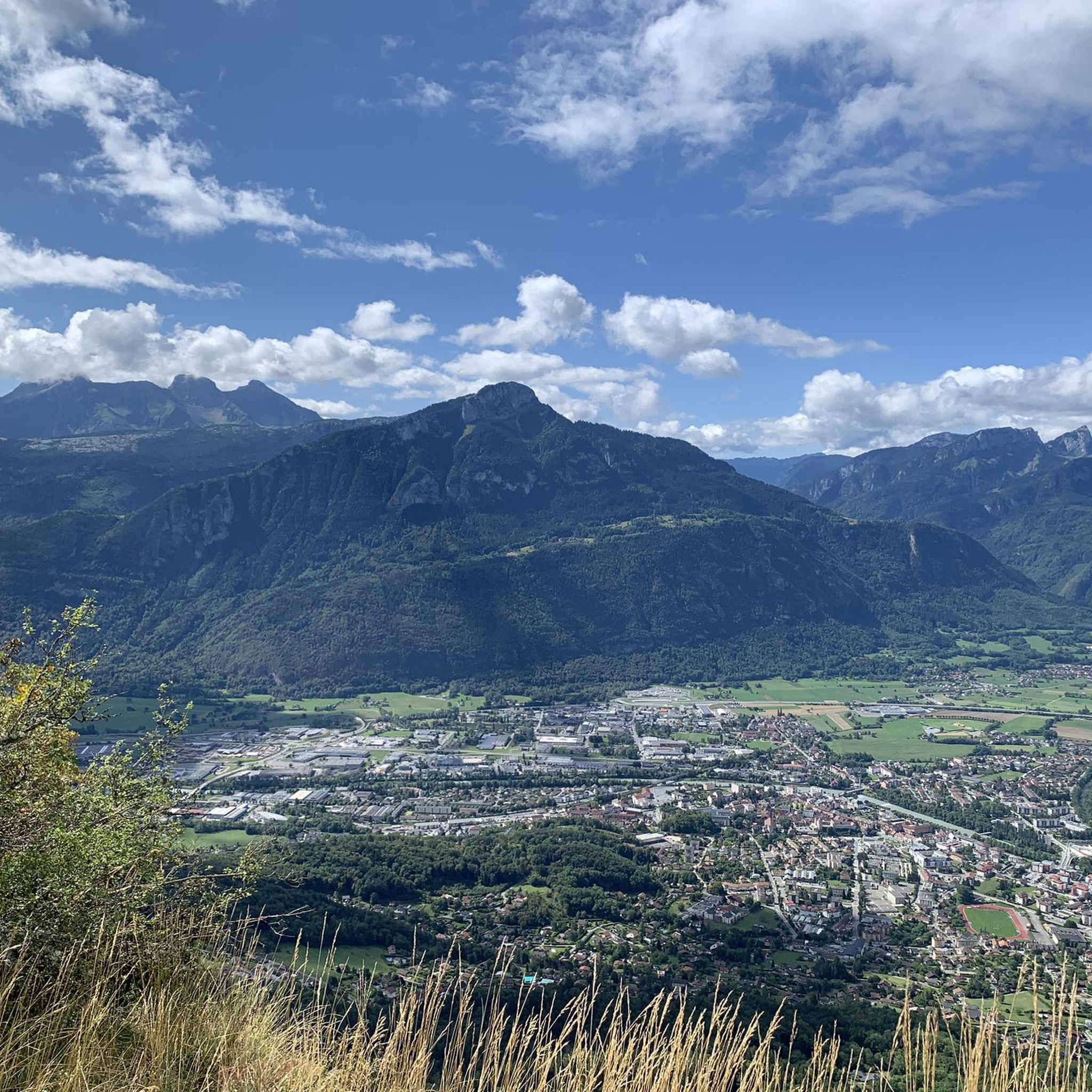
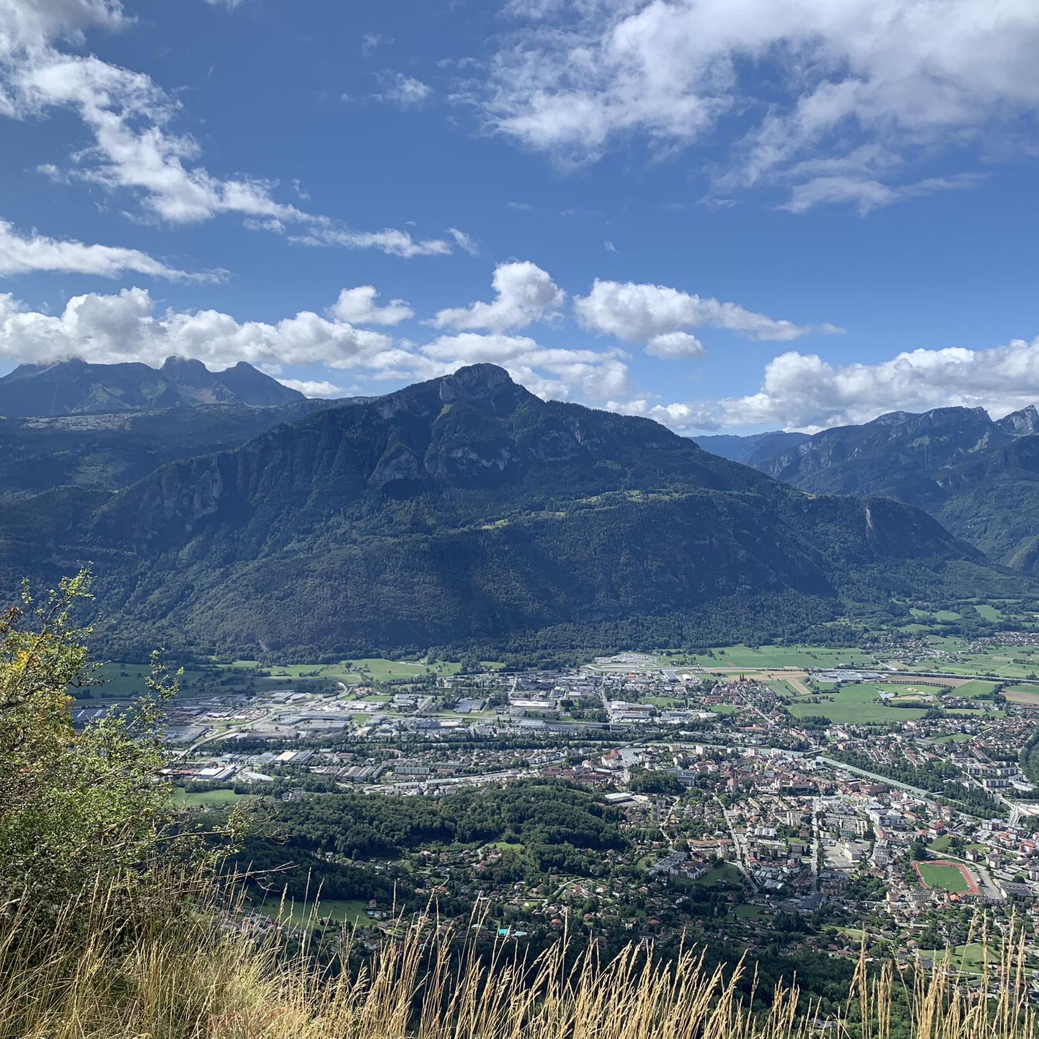
The tour certainly includes portions of pushing, particularly when it comes to reaching the Ecutieux chalets, but the landscapes are magnificent (view of Lake Geneva, wild mountain pastures) Once you arrive at the summit it is almost 8km descent, technical and varied to go back down to Bonneville
0
0

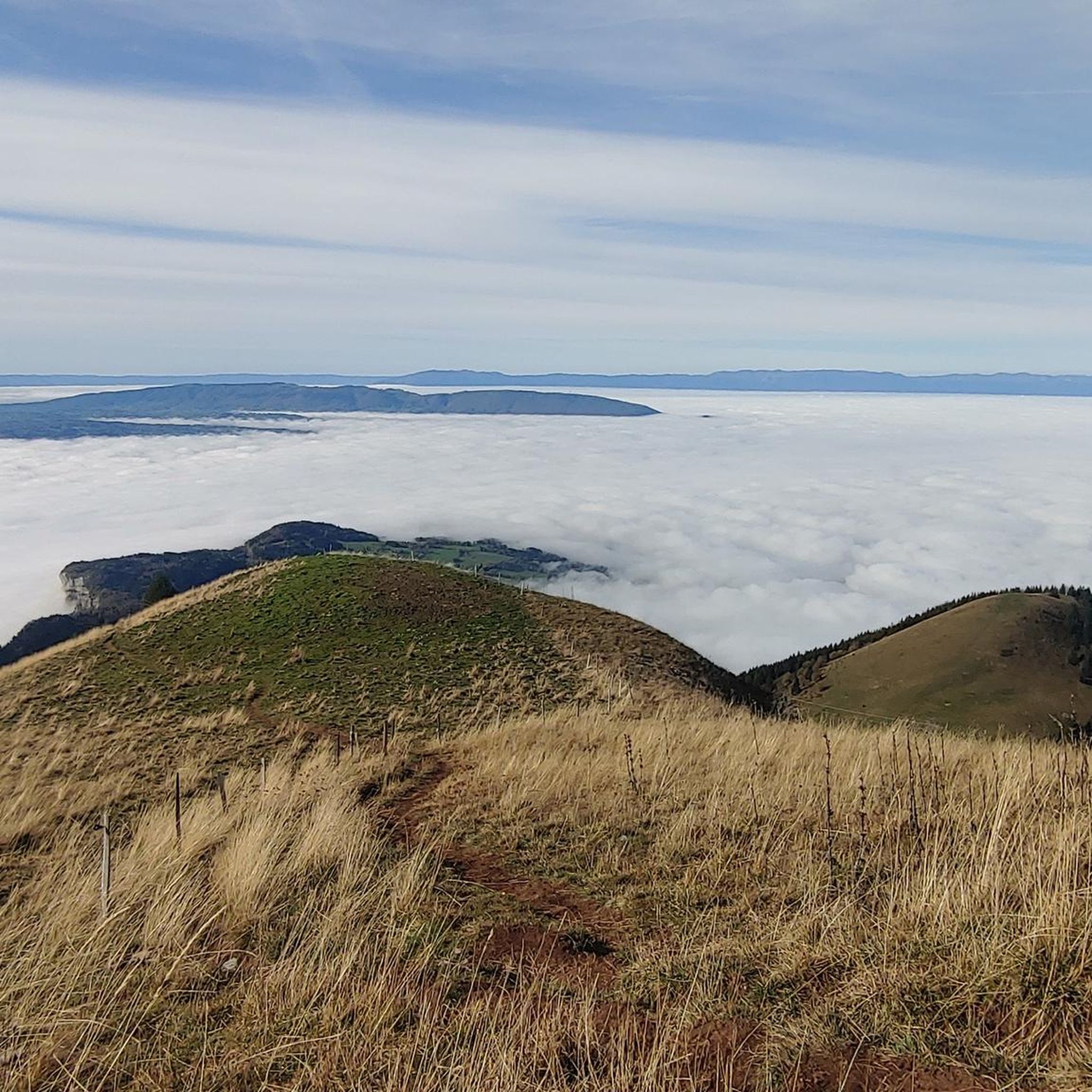
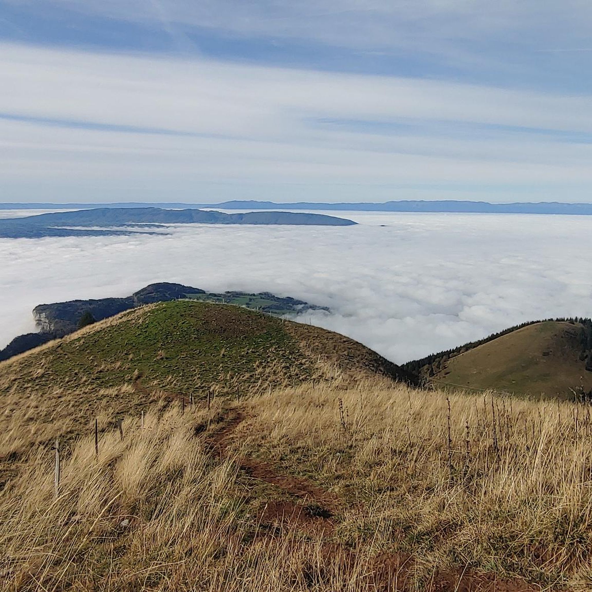
Nice pass on a “ridge” path (even if you don’t really realize it). Bel AR to the Môle (and the head of the ecutieux) for the brave
0
0

Nice pass to discover but the view is not incredible. I recommend continuing the hike to the big castle (the mountain right next to it). It's a bit uphill but from the top the view is much better
0
0

The Col de Réray is the crossing point located at an altitude of 930m which makes the link between the Arve valley and the Risse and Giffre valleys.
1
0
Intersection point Les Gallinons Altitude 710m
0
0
Frequently Asked Questions
How many running routes are available around Saint-Jean-De-Tholome?
There are over 400 running and jogging routes around Saint-Jean-De-Tholome. These include options for various skill levels, with 53 easy, 231 moderate, and 135 difficult trails to explore.
What kind of terrain can I expect on the jogging routes in Saint-Jean-De-Tholome?
The jogging routes in Saint-Jean-De-Tholome offer diverse terrain, characterized by stunning alpine landscapes, dense forests, and open alpine pastures. You'll find paths with significant elevation changes, especially around prominent peaks like Le Môle, as well as gentler trails through serene woods.
Are there any easy or family-friendly running routes in the area?
Yes, Saint-Jean-De-Tholome offers 53 easy running routes, many of which are suitable for families looking for less strenuous options. These trails often wind through picturesque alpine pastures and forests, providing beautiful scenery without extreme elevation.
Can I bring my dog on the running trails around Saint-Jean-De-Tholome?
While the region is generally welcoming to outdoor activities, specific rules for dogs on trails can vary. It's always best to keep your dog on a leash, especially in protected areas or near livestock, and to check local signage for any restrictions.
What are some notable natural attractions I might see while running?
Many routes offer views of iconic natural features. You might encounter the majestic Le Môle summit cross, or pass by beautiful lakes such as La Gouille aux Morts or Lac Bénit. The area also features other peaks like Pointe d'Andey and unique geological formations like the Leschaux Rocks.
Are there any circular running routes available?
Yes, many of the routes in the area are circular, allowing you to start and end at the same point. For example, the challenging Petit Môle (1,534 m) loop from Ayse offers a rewarding circular experience with stunning views.
What is the best time of year for running in Saint-Jean-De-Tholome?
The best time for running in Saint-Jean-De-Tholome is generally from spring through autumn when the weather is milder and trails are clear of snow. Summer offers lush green landscapes, while autumn provides vibrant foliage. Winter running is possible but may require specialized gear due to snow and ice, especially at higher elevations.
Are there options for public transport to reach trailheads?
While specific public transport details to all trailheads are not extensively detailed, local bus services in the Haute-Savoie department connect various villages. It's advisable to check local bus schedules for routes that might serve popular starting points for trails, especially those leading towards Le Môle.
Where can I find parking near the running trails?
Parking is typically available in or near the villages and hamlets that serve as starting points for trails, such as Saint-Jean-De-Tholome itself, Ayse, or Peillonnex. Look for designated parking areas, especially near popular hiking and running routes.
What do other runners say about the trails in Saint-Jean-De-Tholome?
The running routes in Saint-Jean-De-Tholome are highly rated by the komoot community, with an average score of 4.5 stars from over 150 reviews. Runners often praise the stunning panoramic views, the varied terrain, and the invigorating challenge offered by the alpine environment.
Are there any longer, more challenging running routes for experienced runners?
Absolutely. For experienced runners seeking a challenge, routes like the Vierge du Pertus loop from Saint-Jean-de-Tholome are ideal. This difficult 9 km trail features significant elevation gain and takes nearly two hours to complete, offering a demanding workout amidst spectacular scenery.
Can I find routes that pass by lakes or water features?
Yes, some routes incorporate beautiful water features. For instance, the Lake Môle loop from La Tour offers a scenic run around the lake, providing a refreshing experience with lovely views.
Most popular routes around Saint-Jean-De-Tholome
Most popular attractions around Saint-Jean-De-Tholome

Get inspired with the komoot mobile app


Explore more
Browse the best Running Trails & Routes in other regions.
