The best road cycling routes around Peillonnex
4.3
(353)
13,652
riders
154
rides
Road cycling routes around Peillonnex traverse a landscape characterized by rolling hills, valleys, and ascents towards higher ground such as Plaine-Joux and Col du Perret. The region features a mix of open roads and routes that pass by natural landmarks like Lake Môle. Elevation gains are common, indicating varied terrain suitable for road cycling.
Best road cycling routes around Peillonnex
- The most popular road cycling route is Marignier footbridge – Lake Môle loop from Viuz-en-Sallaz, a 32.0 miles (51.6…
Last updated: July 6, 2026
4.6
(26)
571
riders
51.6km
02:29
690m
690m
Moderate road ride. Good fitness required. Mostly well-paved surfaces and easy to ride.
3.0
(2)
81
riders
34.7km
02:06
860m
860m
Moderate road ride. Good fitness required. Mostly well-paved surfaces and easy to ride.

Sign up for free
5.0
(1)
45
riders
41.9km
02:17
730m
730m
Moderate road ride. Good fitness required. Mostly well-paved surfaces and easy to ride.
4.0
(4)
36
riders
28.5km
01:43
740m
740m
Moderate road ride. Good fitness required. Mostly well-paved surfaces and easy to ride.
5.0
(2)
23
riders
28.6km
01:37
590m
580m
Moderate road ride. Good fitness required. Mostly well-paved surfaces and easy to ride.
Get access to more routes and recommendations from other explorers.
Sign up for free
Already have an account?
Our route recommendations are based on thousands of hikes, rides, and runs completed by other people on komoot.
Start today with a free account
Your next adventure awaits.
Login or Signup
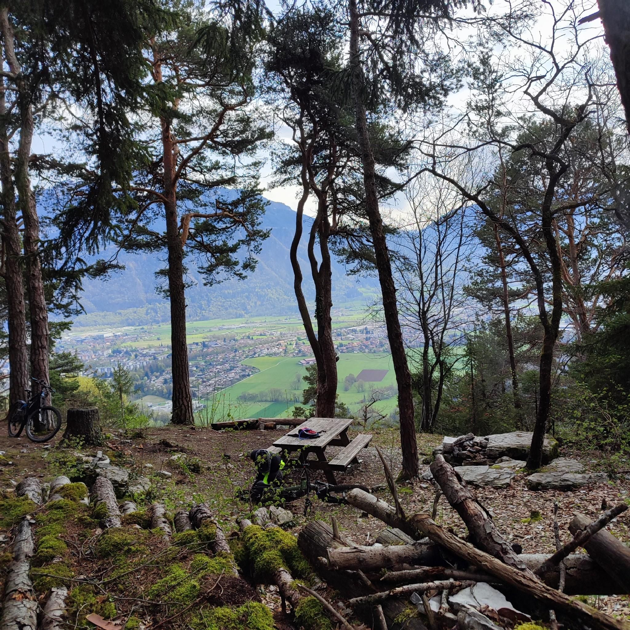
Tips from the Community

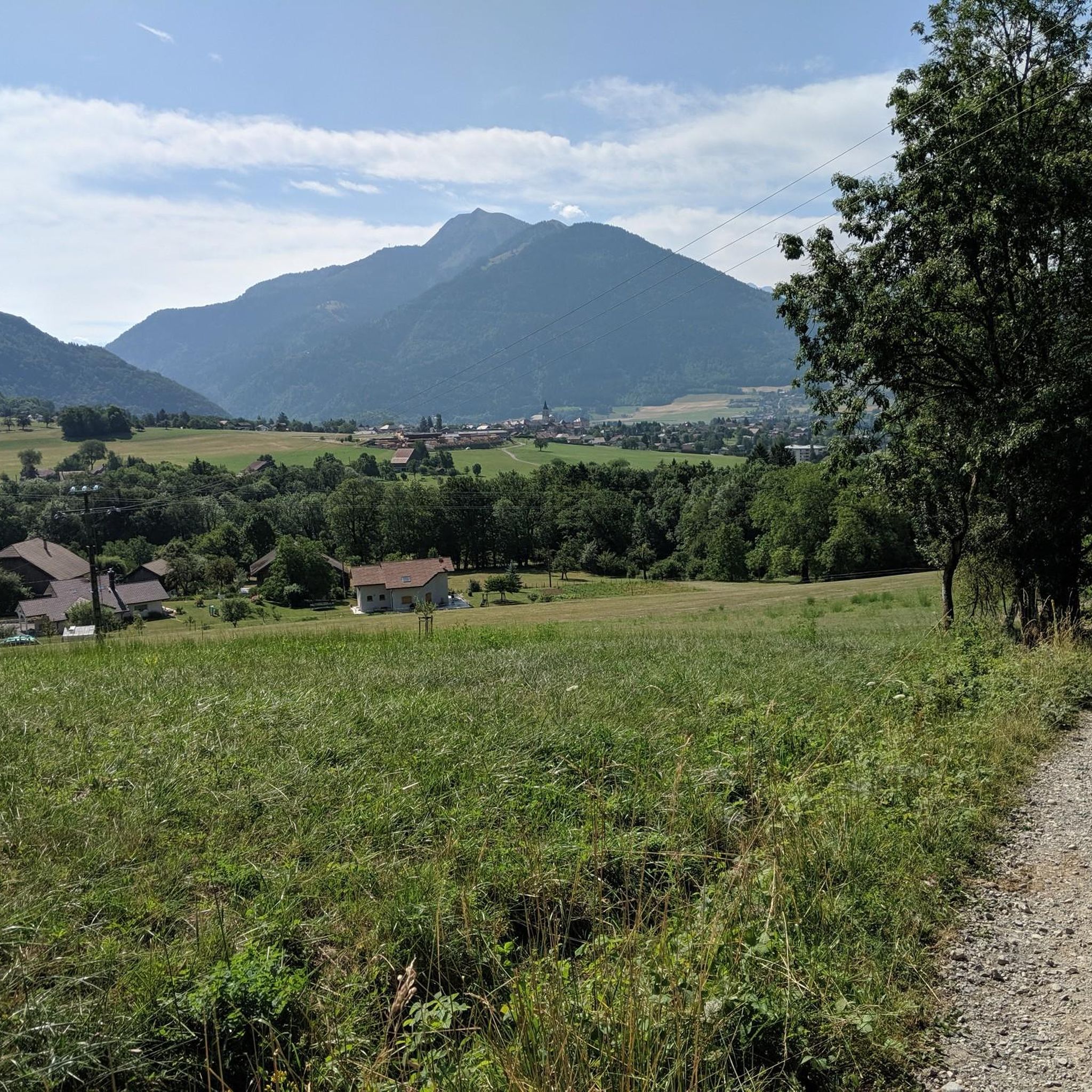
River in the forest during the descent to the village of Le Villard.
0
0


A 48-meter footbridge to cross the Giffre River. This greenway allows you to cross Marignier safely.
0
0


This lowland lake lies quietly in the middle of a protected and peaceful nature. A path goes around it for walkers. The lake is also an idyllic place for fishermen as well as flora and fauna enthusiasts.
1
0

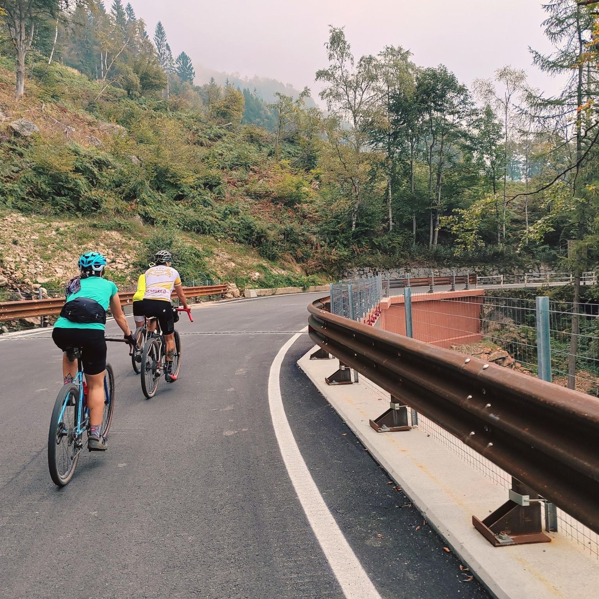
Steep ascent, many parts are steeper than 10%. In 2023, this climb was included in the Tour.
0
1

Very nice easy walk without any difficulty but have good shoes.
0
0
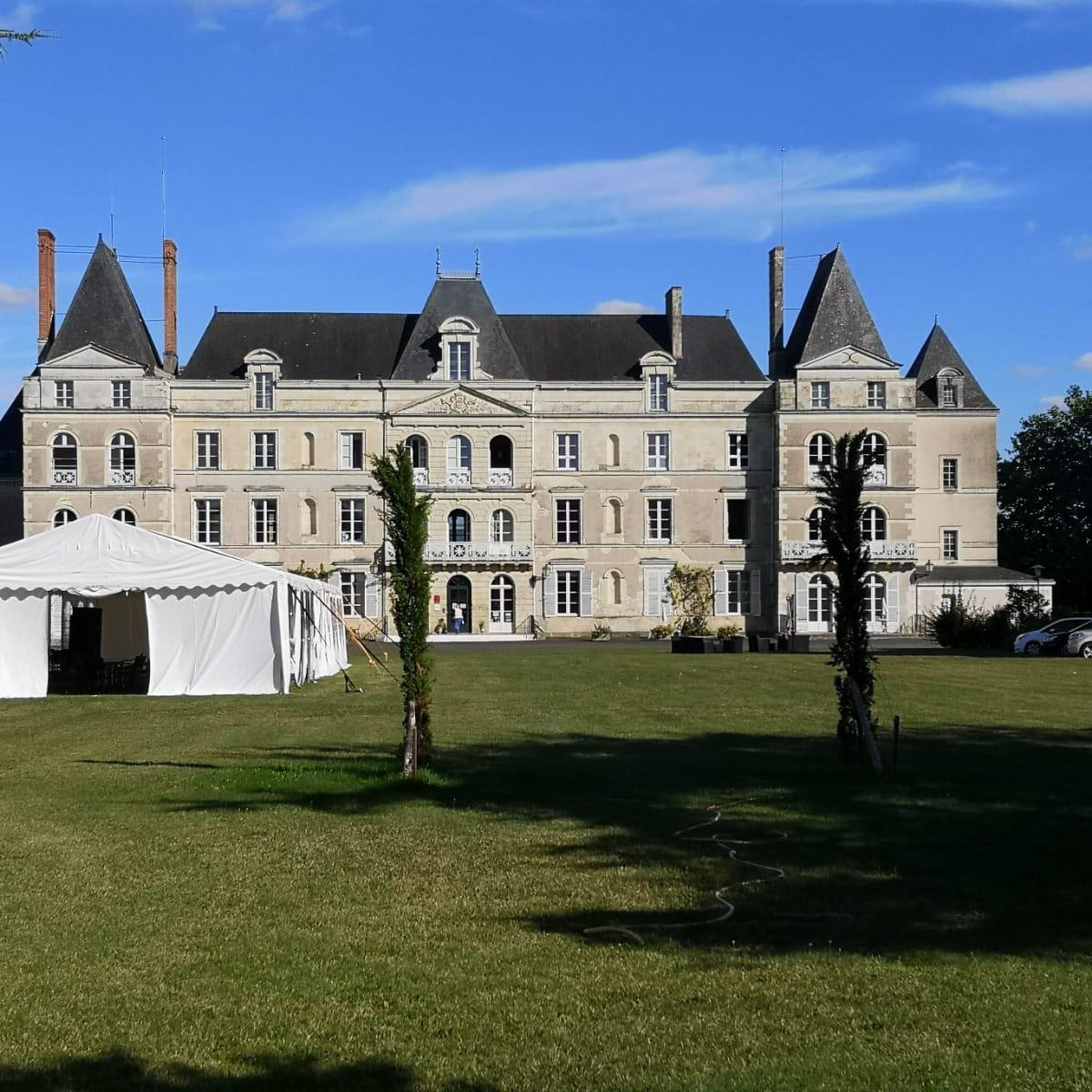
Point of intersection Towards Chateau Altitude 876m
1
1
Frequently Asked Questions
How many road cycling routes are available in Peillonnex?
Peillonnex offers a wide selection of road cycling routes, with over 160 tours available. These routes range in difficulty from easy to difficult, catering to various skill levels.
Are there road cycling routes suitable for beginners in Peillonnex?
Yes, Peillonnex has nearly 20 easy road cycling routes perfect for beginners. These routes typically feature less challenging ascents and offer a gentler introduction to the region's beautiful scenery.
What kind of challenges can advanced road cyclists expect near Peillonnex?
Advanced road cyclists will find over 50 challenging routes around Peillonnex. These often include significant ascents towards higher ground like Plaine-Joux and Col du Perret, providing substantial elevation gains and demanding rides. An example is the Bogève – Ascent to Plaine-Joux loop from Viuz-en-Sallaz.
What are some scenic viewpoints or natural landmarks to look out for on road cycling routes in Peillonnex?
Many routes in Peillonnex offer stunning views and pass by notable natural landmarks. You might encounter sights like La Gouille aux Morts, the dramatic Gorges du Pont du Diable, or the unique Copacou Stone. Some routes also offer glimpses of Lake Môle.
Are there any circular road cycling routes in Peillonnex?
Yes, many road cycling routes in Peillonnex are designed as loops, allowing you to start and finish at the same point. Popular examples include the Marignier footbridge – Lake Môle loop from Viuz-en-Sallaz and the Bogève – Col du Perret loop from Viuz-en-Sallaz.
What is the best time of year for road cycling in Peillonnex?
The spring and autumn months generally offer pleasant temperatures and beautiful scenery for road cycling in Peillonnex. Autumn, in particular, transforms the landscape with vibrant colors, making it a picturesque time to explore the routes.
Where can I find parking for road cycling routes in Peillonnex?
While specific parking details vary by trailhead, many routes around Peillonnex, especially those starting from towns like Viuz-en-Sallaz, offer designated parking areas. It's advisable to check the route details on komoot for specific parking recommendations near your chosen starting point.
What do other road cyclists say about the routes in Peillonnex?
The road cycling routes in Peillonnex are highly regarded by the komoot community, holding an average rating of 4.3 stars from over 300 reviews. Cyclists frequently praise the varied terrain, scenic lake loops, and challenging ascents that define the region's cycling experience.
Can I reach the road cycling trailheads in Peillonnex by public transport?
Public transport options to reach specific trailheads in Peillonnex can be limited, as many routes start from smaller villages or rural areas. It's recommended to check local bus schedules or consider driving to a suitable starting point, especially for routes originating outside major towns.
How long do road cycling routes typically take in Peillonnex?
The duration of road cycling routes in Peillonnex varies significantly based on distance, elevation, and your cycling pace. For example, a moderate route like the Vers Château – Lake Môle loop from Viuz-en-Sallaz (41.9 km) typically takes around 2 hours and 16 minutes, while shorter loops might be completed in under 2 hours.
Are there family-friendly road cycling options around Peillonnex?
While many routes in Peillonnex involve significant elevation changes, there are easier options that families might find more suitable. Look for routes categorized as 'easy' on komoot, which tend to have less demanding climbs and shorter distances, offering a more relaxed experience for all ages.
What should I wear for road cycling in Peillonnex?
Given the varied terrain and potential for ascents, it's best to wear appropriate cycling attire that allows for comfort and temperature regulation. Layers are recommended, especially for routes with significant elevation changes, as temperatures can vary between valleys and higher points like Plaine-Joux or Col du Perret. Always bring a windbreaker and consider padded shorts for longer rides.
Are there cafes or places to stop for refreshments along the road cycling routes?
Many road cycling routes in Peillonnex pass through or near small villages and towns where you can find cafes, bakeries, or small shops for refreshments. Planning your route with komoot allows you to identify potential stops along the way, ensuring you can refuel and rest as needed.
Most popular routes around Peillonnex
Most popular attractions around Peillonnex

Get inspired with the komoot mobile app


Explore more
Browse the best Road cycling routes in other regions.
