The best walks and hikes around Bessèges
4.5
(688)
2,816
hikers
228
hikes
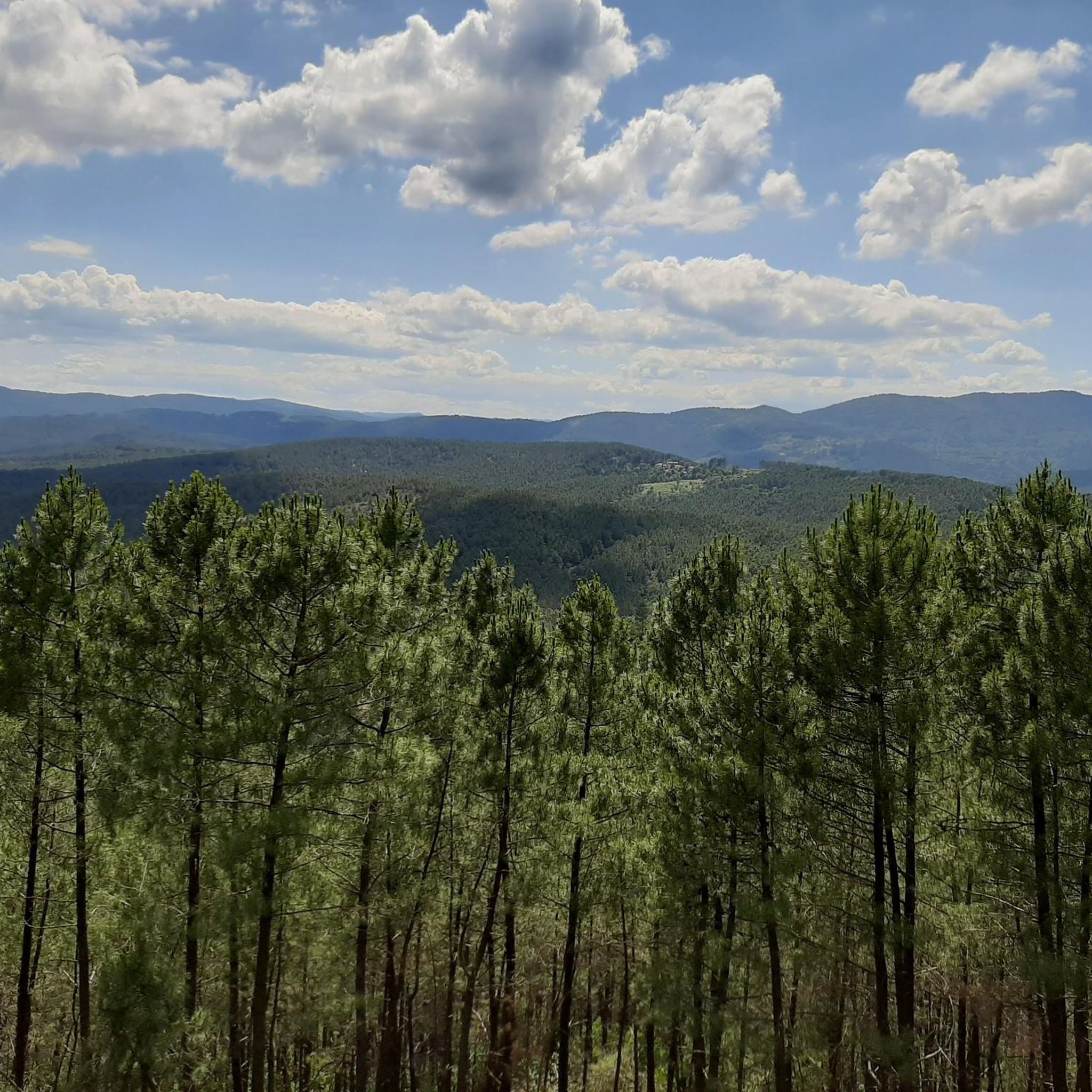
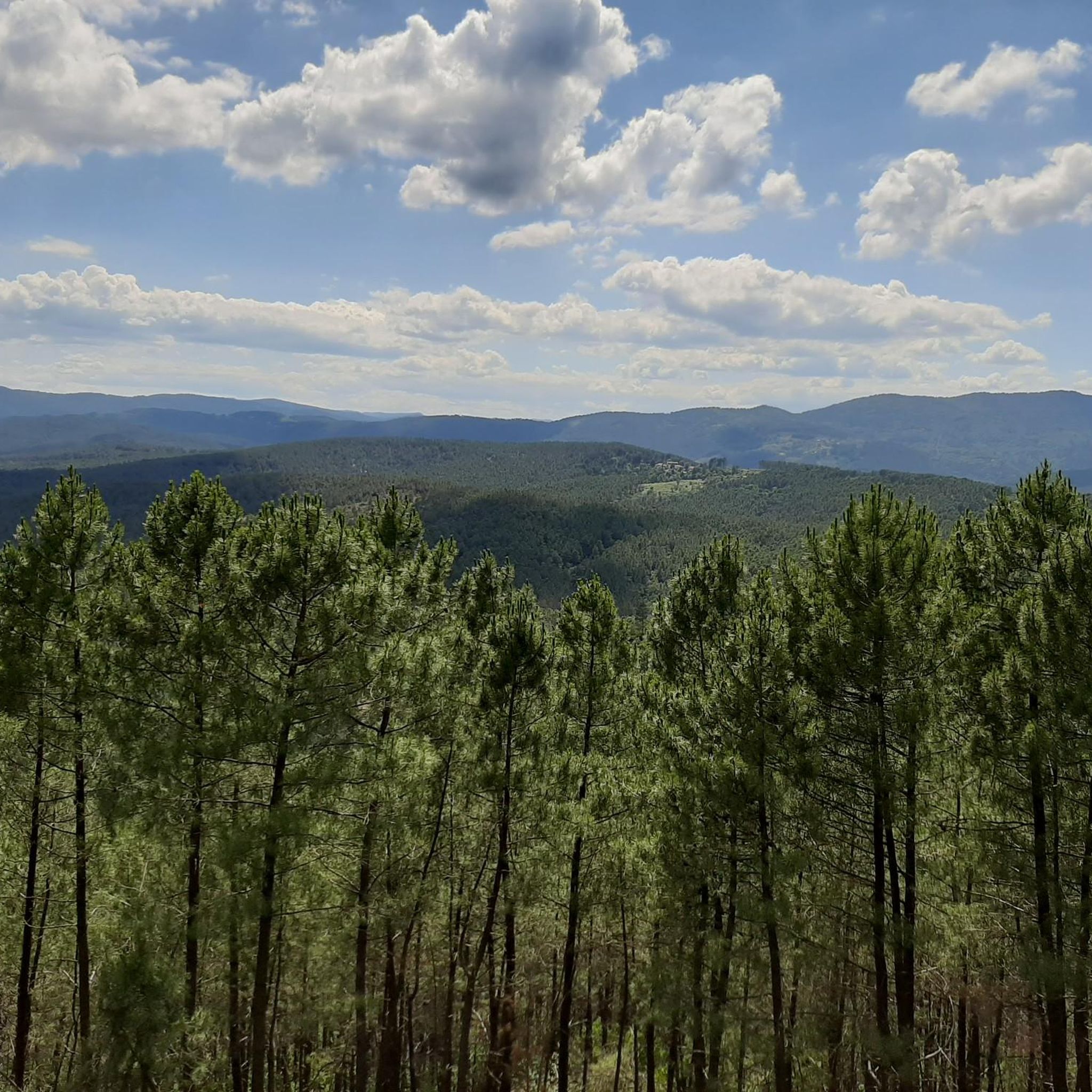
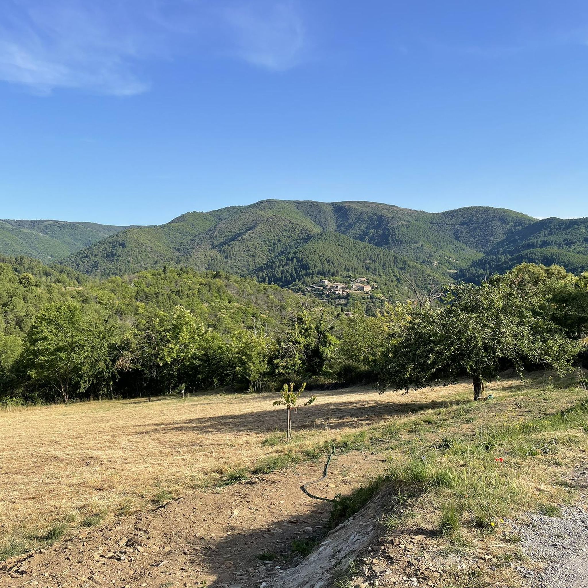
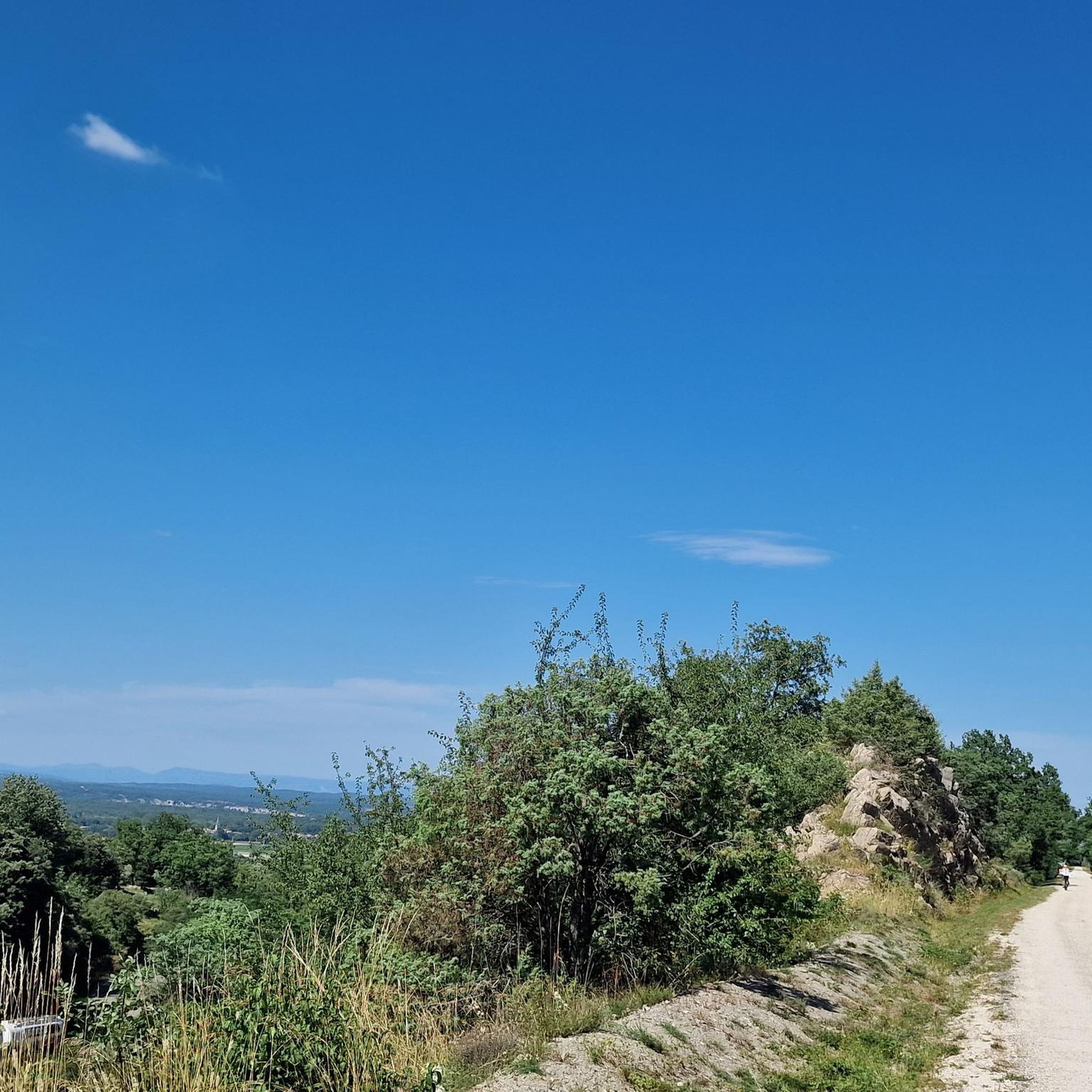
Hiking around Bessèges offers diverse natural landscapes within the Gard department of France, situated along the Cèze River. The region serves as a gateway to the Cévennes National Park, providing a backdrop of varied terrain. Hikers can explore high valleys, dense woodlands, and areas characterized by the Cèze River. The network includes trails ranging from easy paths to more challenging routes.
Best hiking trails around Bessèges
- The most popular hiking route is Le Ronc rouge – loop starting from Bessèges…
Last updated: October 12, 2026
4.3
(12)
45
hikers
10.9km
03:12
310m
310m
Moderate hike. Good fitness required. Mostly accessible paths. Sure-footedness required.
4.5
(4)
16
hikers
5.28km
01:30
120m
120m
Easy hike. Great for any fitness level. Easily-accessible paths. Suitable for all skill levels.

4.3
(4)
18
hikers
Moderate hike. Good fitness required. Easily-accessible paths. Suitable for all skill levels.
4.0
(3)
16
hikers
8.07km
02:05
40m
40m
Moderate hike. Good fitness required. Easily-accessible paths. Suitable for all skill levels.
4.5
(4)
17
hikers
5.70km
01:37
130m
130m
Easy hike. Great for any fitness level. Easily-accessible paths. Suitable for all skill levels.
Get access to more routes and recommendations from other explorers.
Already have an account?
Our route recommendations are based on thousands of hikes, rides, and runs completed by other people on komoot.
Start today with a free account
Your next adventure awaits.

Tips from the Community

September 2026: for the last two years, we have not seen any progress in the renovation work. However, workers are currently working to improve the accessibility of the path leading to the chapel! Until now, it was steep and very slippery in rainy weather, but now wooden stairs and a wider path are being added.
1
0
With the Komoot map as a guide, the path can be found and followed. Clothing with long trousers and long sleeves is recommended, as the path is overgrown with thorny weeds in places.
1
0
The level of the Cèze can vary greatly, sometimes the water level is low, sometimes so high that the bridge is flooded and even no longer visible
1
0
On certain spots in the Cèze river, dams have been created, so there are deeper spots that are nice to swim in
2
0
The path is marked on the map, but it looks terribly overgrown. It would be a challenge to test whether the path is passable further on. But then you'd need appropriate clothing and equipment. It's a shame the path is in such poor condition; you could make a nice hiking trail.
1
0
A very beautiful chapel, you can ring the bell yourself. You also have a fantastic view of the region from here.
0
0
Flatter section between the steeper slopes. From here you can enjoy the beautiful view.
0
0
Frequently Asked Questions
How many hiking trails are available around Bessèges?
There are over 200 hiking routes around Bessèges, catering to various preferences and skill levels. You'll find a wide selection, from easy strolls to more challenging treks, many of which are located within or near the Cévennes National Park.
What types of terrain can I expect on hikes around Bessèges?
The terrain around Bessèges is quite diverse, reflecting its location near the Cévennes National Park and along the Cèze River. You can expect paths through dense woodlands, along river valleys, and routes offering impressive views over varied landscapes. Some trails might feature moderate ascents and descents.
Are there any family-friendly hiking options in Bessèges?
Yes, Bessèges offers several easy hiking paths suitable for families with children. For instance, the Intersection of Hiking Trails – Path in the woods, overgrown loop from La Côte de Long is an easy 3.2-mile trail through woods, perfect for a shorter outing. Many other easy routes are available to explore.
Can I bring my dog on the hiking trails around Bessèges?
Many trails around Bessèges are dog-friendly. However, as some routes are within or border the Cévennes National Park, it's important to keep your dog on a leash to protect wildlife and respect park regulations. Always check specific trail rules before heading out.
What interesting natural features or landmarks can I see while hiking near Bessèges?
While hiking near Bessèges, you can discover several notable features. The region is part of the Cévennes National Park, offering rich natural heritage. You might encounter the Cèze River valleys, dense woodlands, and even one of France's rare Salzmann pine colonies. Historic landmarks include the impressive Viaduc du Doulovy, an old railway viaduct, and the Montalet Castle. The nearby Bois de Païolive also offers unique natural beauty.
Are there circular hiking routes available around Bessèges?
Yes, many of the hiking routes around Bessèges are circular, allowing you to start and end at the same point. Examples include the popular Le Ronc rouge – loop starting from Bessèges – Cévennes National Park and the Intersection of Hiking Trails – Bridge loop from Peyremale.
What is the best time of year to go hiking in Bessèges?
Bessèges offers hiking opportunities throughout much of the year. Spring and autumn generally provide the most pleasant weather for hiking, with mild temperatures and beautiful scenery. Summer can be warm, so early morning or late afternoon hikes are often preferred. Winter hiking is also possible, though some higher elevation trails might require more preparation.
Is parking available at the trailheads in Bessèges?
Parking is generally available near many of the trailheads in and around Bessèges. Specific parking information can often be found on individual route pages or local tourism resources. It's advisable to check the starting point of your chosen route for the most convenient parking options.
What do other hikers enjoy most about the trails in Bessèges?
The hiking trails in Bessèges are highly rated by the komoot community, with an average score of 4.5 stars from over 500 reviews. Hikers often praise the diverse landscapes, the tranquility of the Cévennes National Park, and the variety of routes suitable for different fitness levels. The well-maintained paths and scenic views are frequently highlighted.
Are there any long-distance or more challenging hikes near Bessèges?
While Bessèges offers many easy and moderate trails, there are also options for more challenging hikes, particularly as you venture deeper into the Cévennes National Park. These routes often feature greater elevation changes and longer distances. For example, the La chapelle Lachamps – In the middle of nature loop from Robiac-Rochessadoule is a moderate 7-mile trail with significant elevation gain, offering a more strenuous experience.
Can I access hiking trails in Bessèges using public transport?
While Bessèges itself has some public transport options, direct access to specific trailheads via public transport can be limited, especially for routes further into the natural areas. It's recommended to check local bus schedules or consider driving to the starting points of your chosen hikes for the most flexibility.
Most popular attractions around Bessèges

Get inspired with the komoot mobile app


Explore more
Browse the best Hikes in other regions.
