The best cycling routes around Saint-Rome-De-Cernon
4.4
(333)
3,679
riders
107
rides
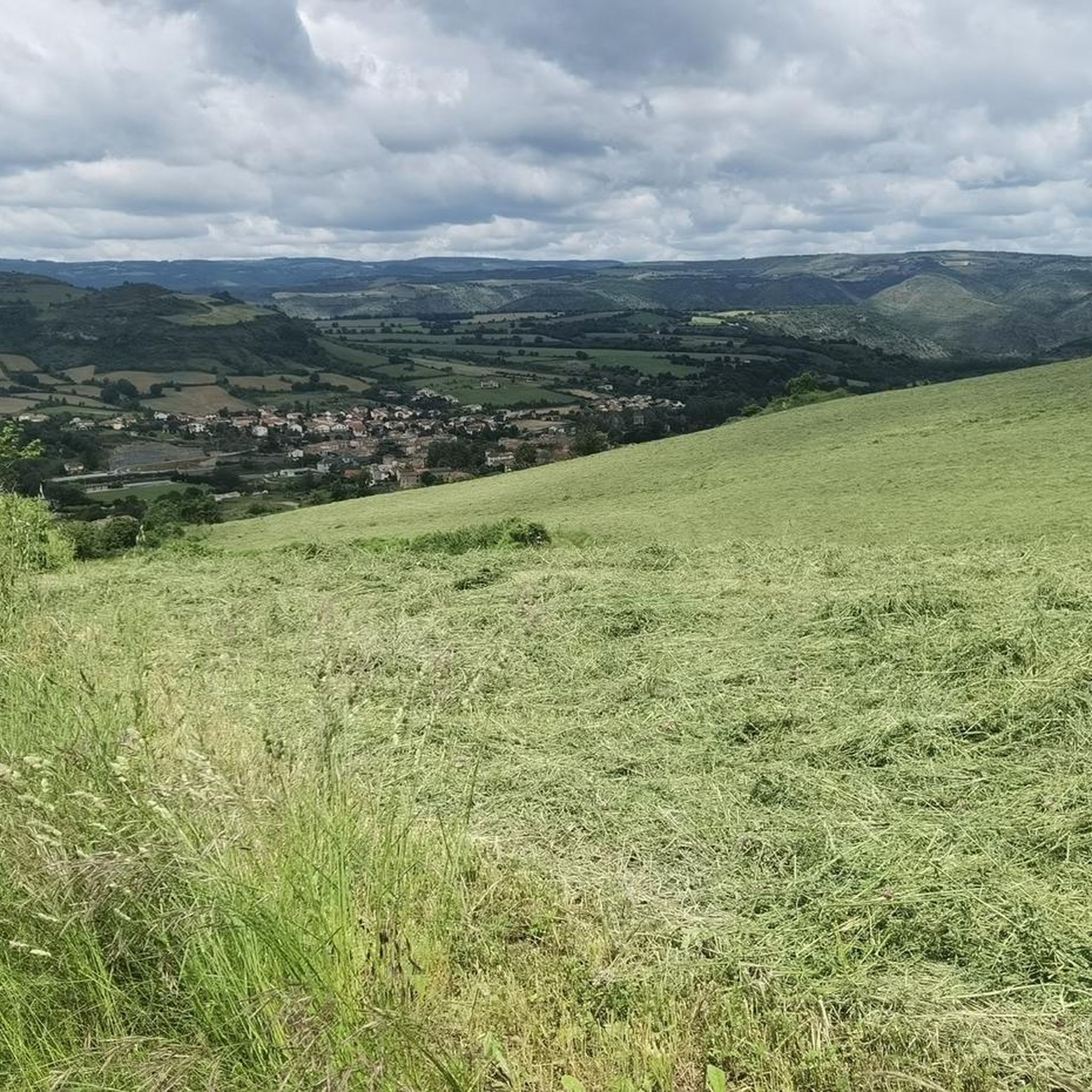
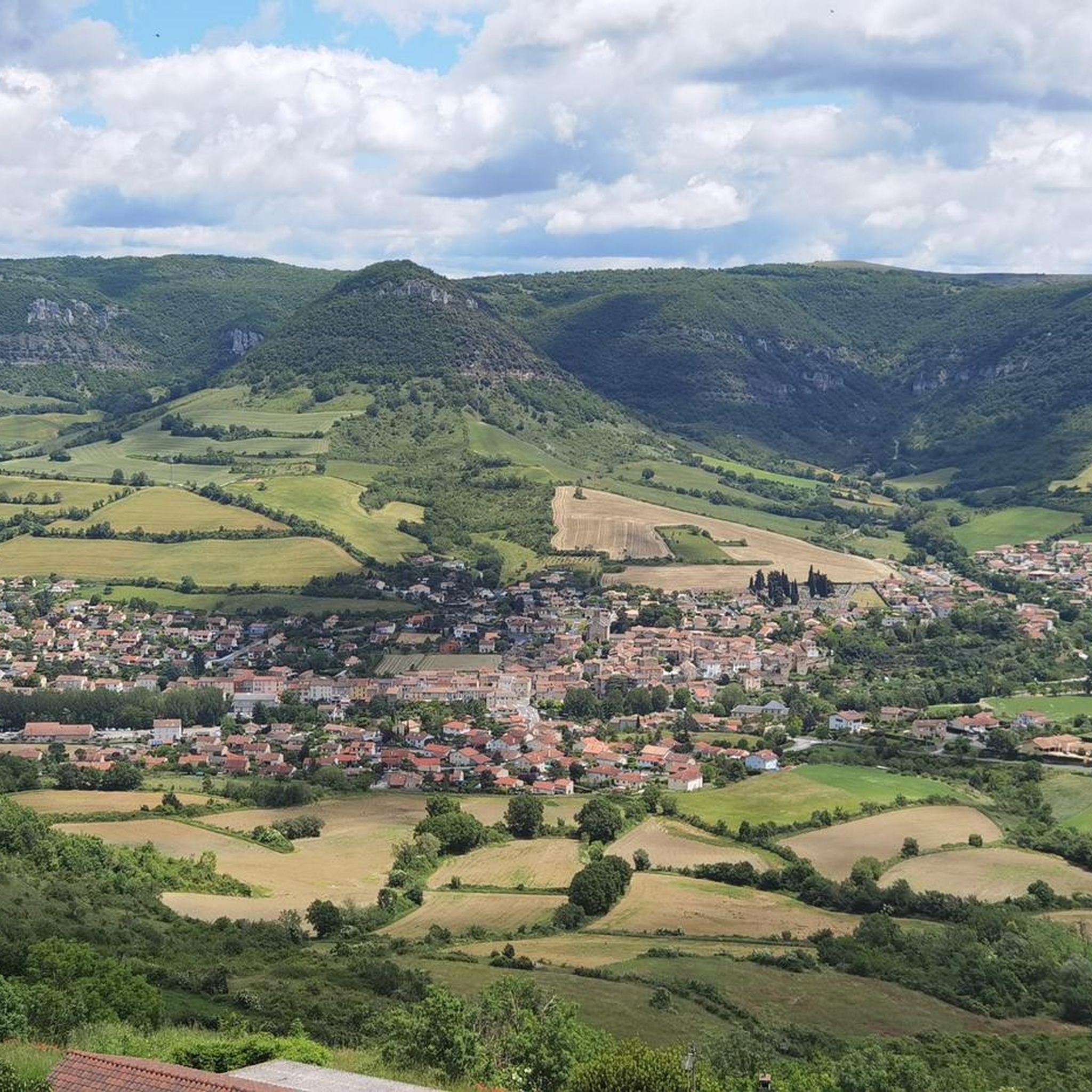
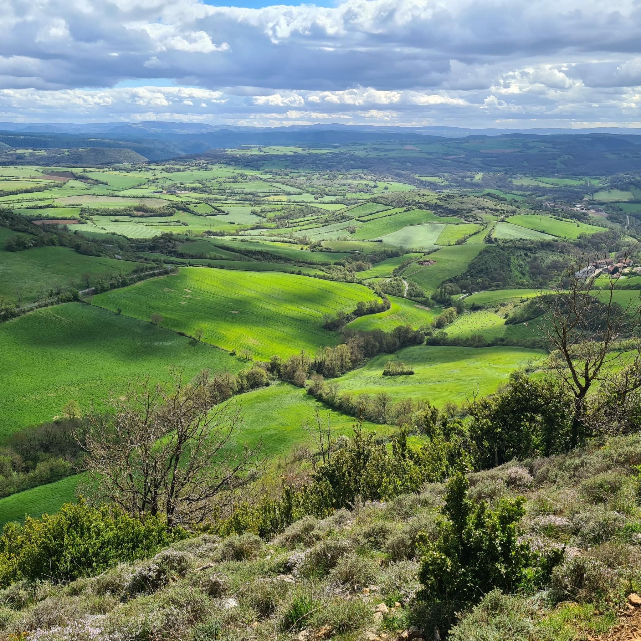
Touring cycling routes around Saint-Rome-De-Cernon traverse a landscape characterized by varied terrain, including river valleys, limestone plateaus, and rolling hills. The region, situated in the Aveyron department, offers routes that often feature historic villages and agricultural areas. Elevation changes are common, providing both challenging climbs and scenic descents for touring cyclists.
Best touring cycling routes around Saint-Rome-De-Cernon
- The most popular touring cycling route is Le Rozier – Millau loop from Saint-Geniez-de-Bertrand, a 55.4 miles (89.1 km) trail that takes…
Last updated: October 11, 2026
5.0
(2)
11
riders
45.1km
02:54
600m
610m
Hard bike ride. Very good fitness required. Mostly paved surfaces. Suitable for all skill levels.
16
riders
69.8km
04:43
1,050m
1,050m
Hard bike ride. Very good fitness required. Mostly paved surfaces. Suitable for all skill levels.

4.5
(2)
8
riders
Hard bike ride. Very good fitness required. Mostly paved surfaces. Suitable for all skill levels.
5.0
(1)
20
riders
Hard bike ride. Very good fitness required. Mostly paved surfaces. Suitable for all skill levels.
5.0
(1)
8
riders
100km
06:32
1,300m
1,300m
Hard bike ride. Very good fitness required. Mostly paved surfaces. Suitable for all skill levels.
Get access to more routes and recommendations from other explorers.
Already have an account?
Our route recommendations are based on thousands of hikes, rides, and runs completed by other people on komoot.
Start today with a free account
Your next adventure awaits.

Tips from the Community

In the heart of Creissels, the Pesquié basin forms a surprisingly vast body of water (1,000 m²) compared to the modest stream that feeds it. Its name, which comes from Occitan and means "fish pond", recalls the ancient purpose of the place, linked to fish farming. The town hall now occupies the premises of a former fish farm. The basin is fed by the Creissels waterfall, a typical resurgence of the karst functioning of the Larzac: the water infiltrated into the limestones of the plateau reappears after an underground journey. In September 2023, the municipality dredged the basin and created a spawning ground for brown trout (Salmo trutta). The restoration has borne fruit, as trout have since recolonized the body of water, alongside amphibians and other aquatic organisms that find refuge in the surrounding wetland.
2
0
Perched at an altitude of about 730 meters, the Cap de Coste viewpoint overlooks the eastern end of the Boundoulaou cirque. It reveals a vast panorama of the Millau basin and its surrounding massifs. To the left, the easily recognizable Millau Viaduct spans the Tarn valley to connect the Larzac to the Causse Rouge. Further to the right stretches the latter: a large limestone plateau whose undulations dominate the valley. Then, the Puech d’Andan stands out with its wooded silhouette, cut in two by a clear central notch. Finally, further away, the Pouncho d’Agast, an emblematic relief of the Causse Noir, is easily recognized by its profile like a true limestone pyramid.
3
0
Perché at an altitude of approximately 730 meters, the Cap de Coste viewpoint overlooks the eastern end of the Boundoulaou cirque. It reveals a vast panorama of the Millau basin and its surrounding massifs. To the left, the easily recognizable Millau Viaduct spans the Tarn valley, connecting the Larzac to the Causse Rouge. Further to the right stretches the latter: a large limestone plateau whose undulations dominate the valley. Then, the Puech d’Andan stands out with its wooded silhouette, cut in two by a clear central notch. Finally, further away, the Pouncho d’Agast, an emblematic relief of the Causse Noir, is easily recognized by its profile like a true limestone pyramid.
2
0
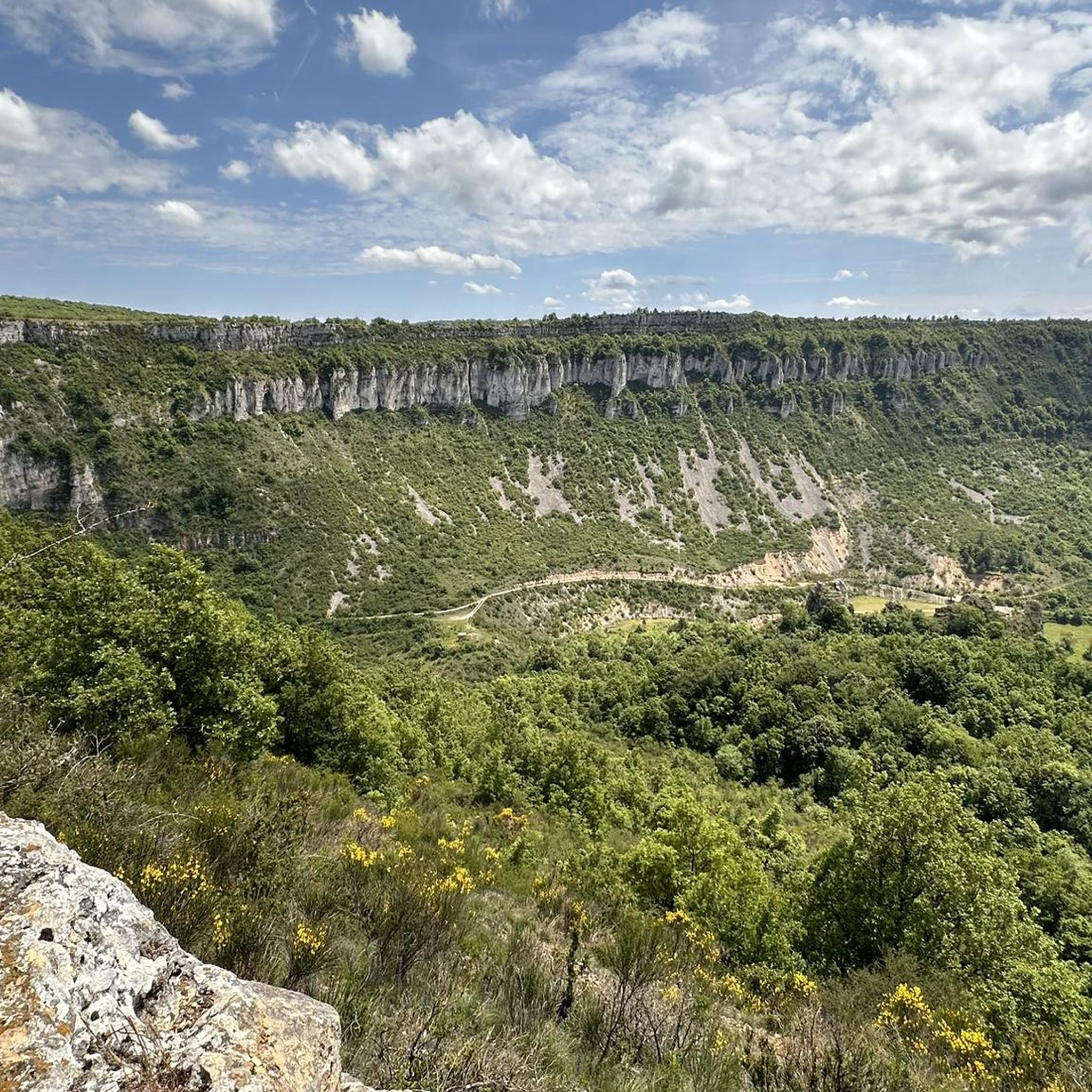
From this switchback on the road to Labro, the Larzac plateau suddenly opens up to reveal the spectacular cirque of Saint-Geniez-de-Bertrand. This has been progressively formed by the erosion of the limestone series that make up the Larzac. The water, by infiltrating the fractures in the limestone, gradually dissolves the rock and circulates at depth before emerging at the foot of the slopes. This underground action, associated with runoff and valley erosion, causes a progressive retreat of the cliffs and slopes: this is the phenomenon of regressive erosion. Over time, the limestone reliefs recede towards the interior of the plateau and a vast indentation forms, giving birth to the cirque.
2
0
On the Maladrerie, the Parc Aquavagues transforms an arm of the Tarn into a real whitewater stadium. Over about 300 m, waves, currents and counter-currents allow for kayaking, rafting and hydrospeed, up to the training of experienced practitioners and competitions.
2
0

Nice unusual bridge, which resembles a railway bridge although I don't see any sign of trains nearby...
0
0
Behind its perfectly preserved ramparts lies an astonishing Templar heritage. Founded in the 12th century, the commandery of Saint-Eulalie-de-Cernon was a strategic center of the Order of the Temple on the Larzac. A remarkably preserved village!
2
0

Frequently Asked Questions
How many touring cycling routes are available around Saint-Rome-De-Cernon?
There are over 100 touring cycling routes in the Saint-Rome-De-Cernon area, offering a wide range of options for different skill levels and preferences. The region features a mix of easy, moderate, and difficult trails.
Are there easy touring cycling routes suitable for beginners or families?
Yes, Saint-Rome-De-Cernon offers 13 easy touring cycling routes. These routes typically feature gentler gradients and are suitable for those new to touring cycling or families looking for a more relaxed ride through the scenic river valleys and agricultural areas.
What kind of terrain can I expect on touring cycling routes in Saint-Rome-De-Cernon?
The terrain around Saint-Rome-De-Cernon is diverse, characterized by river valleys, limestone plateaus, and rolling hills. You can expect a mix of challenging climbs and scenic descents, often passing through historic villages and agricultural landscapes.
When is the best time of year for touring cycling in Saint-Rome-De-Cernon?
The best time for touring cycling in Saint-Rome-De-Cernon is generally from spring to autumn (April to October). During these months, the weather is typically mild and pleasant, making for ideal riding conditions. Summers can be warm, while spring and autumn offer comfortable temperatures and beautiful scenery.
Are there any circular touring cycling routes in the area?
Many touring cycling routes in Saint-Rome-De-Cernon are designed as loops, allowing you to start and finish in the same location. For example, the difficult route Tour du Viala-du-Pas-de-Jaux – Sainte-Eulalie-de-Cernon loop from Lauras offers a circular journey through rural landscapes and historic sites.
What are some scenic viewpoints or landmarks I can see along the routes?
The region boasts several scenic spots and landmarks. You might encounter viewpoints like Cap de Coste Viewpoint or the Millau Viaduct Viewpoint. Other notable attractions include the impressive Millau Viaduct itself and natural monuments such as the Cascade des Raspes du Tarn.
Where can I park my car when starting a touring cycling route?
Parking is generally available in the villages and towns that serve as starting points for many routes, such as Saint-Rome-de-Cernon, Lauras, or Saint-Geniez-de-Bertrand. Look for designated public parking areas within these communities.
What do other touring cyclists enjoy most about the routes in Saint-Rome-De-Cernon?
The touring cycling routes in Saint-Rome-De-Cernon are highly rated by the komoot community, with an average score of 4.4 stars from over 280 reviews. Cyclists frequently praise the varied terrain, the charming historic villages, and the extensive views of the surrounding valleys and plateaus.
Are there any long-distance touring cycling options available?
Yes, the region offers several longer routes for experienced touring cyclists. For instance, the Le Rozier – Millau loop from Saint-Geniez-de-Bertrand is a challenging 55.4-mile (89.1 km) trail that provides extensive views and a significant elevation gain.
Can I find places to eat or drink along the touring cycling routes?
Many routes pass through or near historic villages where you can find local cafes, bakeries, and restaurants. Planning your route to include stops in these villages, such as Millau or Sainte-Eulalie-de-Cernon, is a good way to refuel and experience local hospitality.
Are there any routes that pass by the Millau Viaduct?
Yes, some routes offer views of or pass near the famous Millau Viaduct. For example, the route Saint geniez de bertrand – View of the Millau Viaduct loop from Saint-Geniez-de-Bertrand provides excellent opportunities to see this architectural marvel.
What is the typical difficulty level of touring cycling routes in this region?
The routes around Saint-Rome-De-Cernon cater to various skill levels. While there are 13 easy routes, the majority are classified as moderate (36 routes) or difficult (70 routes), indicating that many trails involve significant elevation changes and require a good level of fitness.
Most popular routes around Saint-Rome-De-Cernon
Most popular attractions around Saint-Rome-De-Cernon

Get inspired with the komoot mobile app


Explore more
Browse the best Cycling routes in other regions.
