The best running trails around La Thuile
4.4
(271)
15,373
runners
560
runs
Jogging around La Thuile offers diverse alpine landscapes in Italy's Aosta Valley, near the French-Italian border. The region is characterized by majestic peaks, including views of Mont Blanc, and features the Rutor Glacier and its spectacular falls. Runners can explore numerous alpine lakes such as Lake Verney and Lake Arpy, alongside thick forests and varied valleys like Youlaz and Orgères. This terrain provides a mix of rugged mountain paths, panoramic ridgelines, and tranquil forest trails.
Best jogging routes around La…
Last updated: July 1, 2026
72
runners
11.1km
01:38
370m
370m
Hard run. Very good fitness required. Sure-footedness, sturdy shoes and alpine experience required.
42
runners
10.2km
02:20
930m
930m
Hard run. Very good fitness required. Sure-footedness, sturdy shoes and alpine experience required.

Sign up for free
34
runners
23.5km
04:14
1,450m
1,450m
Hard run. Very good fitness required. Sure-footedness, sturdy shoes and alpine experience required.
5.0
(1)
14
runners
11.1km
01:57
630m
630m
Hard run. Very good fitness required. Sure-footedness, sturdy shoes and alpine experience required.
5.0
(1)
17
runners
19.3km
03:39
1,330m
1,330m
Hard run. Very good fitness required. Sure-footedness, sturdy shoes and alpine experience required.
Get access to more routes and recommendations from other explorers.
Sign up for free
Already have an account?
Our route recommendations are based on thousands of hikes, rides, and runs completed by other people on komoot.
Start today with a free account
Your next adventure awaits.
Login or Signup

Tips from the Community

True location of the Pass, arrival marker and sign at the summit.
1
0

gravel junction between the Marocaz pass and Aillon le jeune; a hundred meters of pushing on a steep slope
0
0

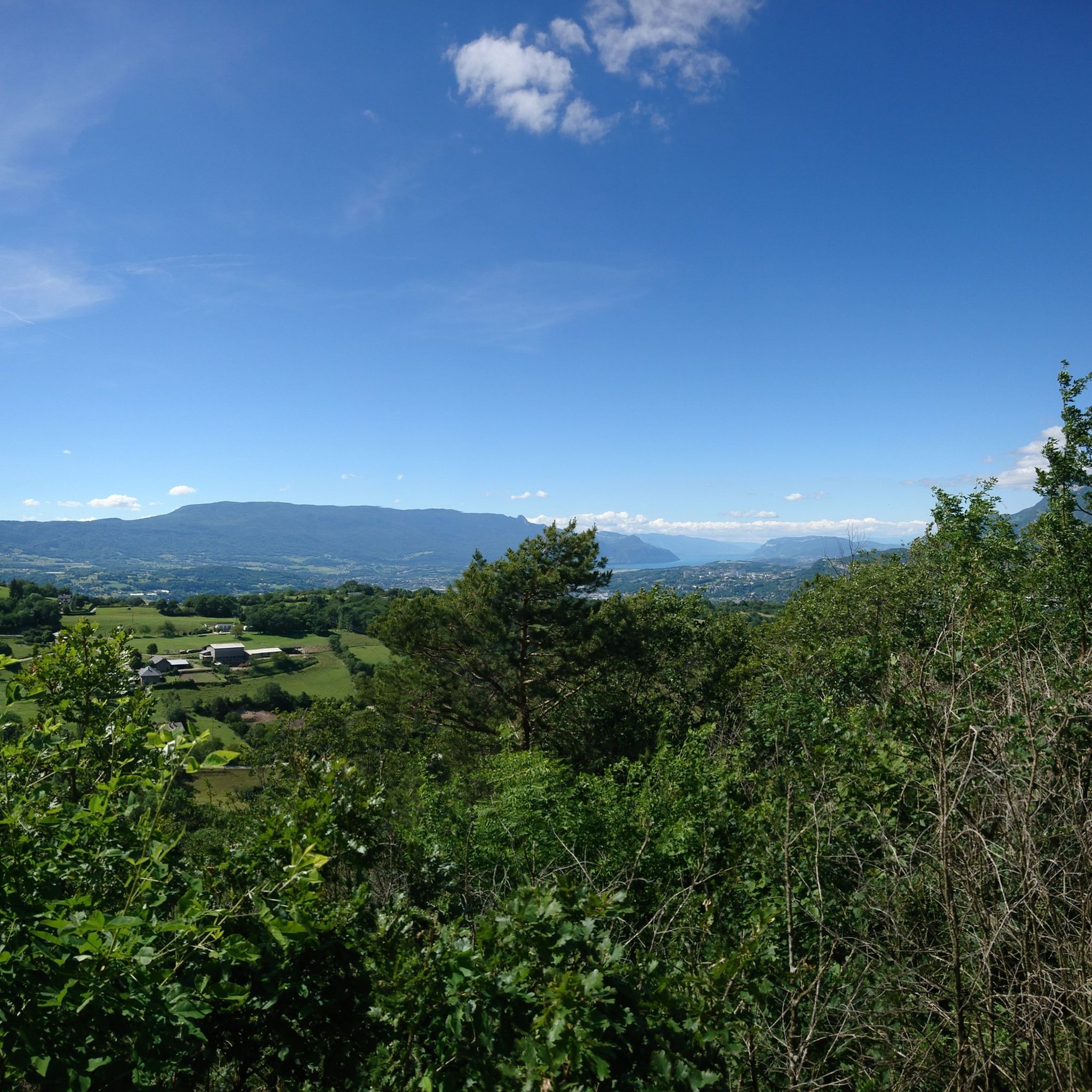
Wonderful panorama of the Bauges, the Chambéry valley and all the massifs of the Northern Alps.
0
0

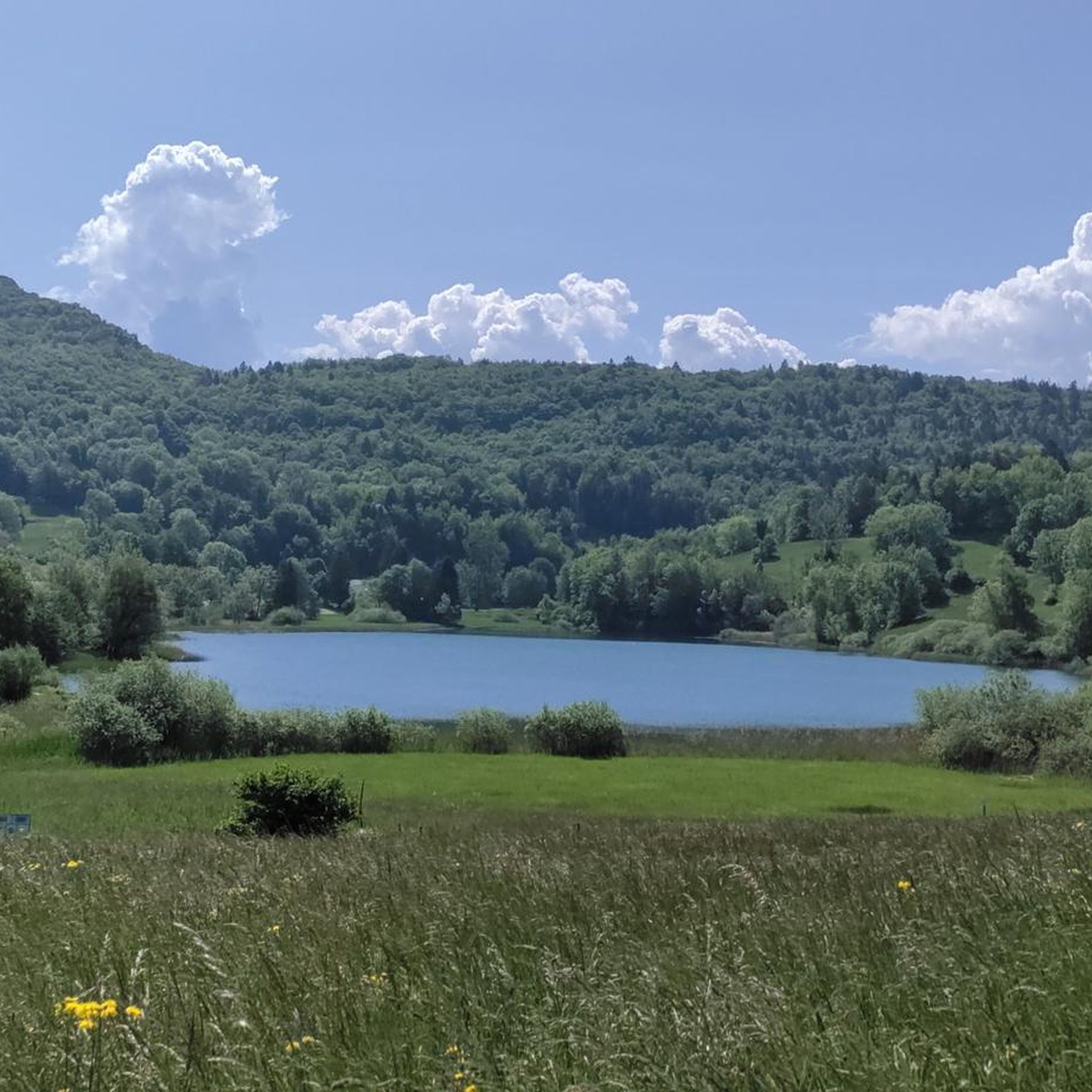
Peaceful lake. With the terrace of the Auberge du Lac to recharge with carbohydrates
1
0

Difficult descent of the Lindar on gravel...I regretted my mountain bike!
0
0

Col de Marocaz from Arbin is a climb in the French Alps region. It has a length of 8.4 kilometers and an ascent of 657 vertical meters with a slope of 7.8% on average, which implies a difficulty level of 613. The summit of the ascent is located at 958 meters above sea level.
0
0
Friendly pass with little traffic in the woods. I have climbed the south side several times. It's not very long, but it's quite steep...Good climb
0
0

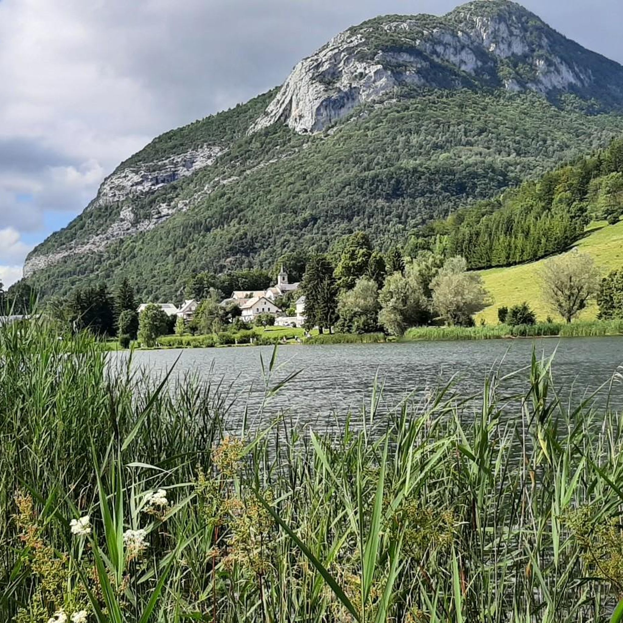
Pretty lake well hidden before the Marocaz pass.
2
0
Frequently Asked Questions
How many running routes are available around La Thuile?
La Thuile offers a vast network of running trails, with over 570 routes documented on komoot. This includes a wide variety of terrain, from challenging mountain paths to more accessible forest trails, catering to different skill levels.
Are there any easy or beginner-friendly jogging routes in La Thuile?
While many routes in La Thuile are rated as difficult due to the alpine terrain, there are still options for beginners. Komoot lists 46 easy routes and 286 moderate routes. For a more relaxed experience, consider the 'Fitness Road', a dedicated trail designed for jogging and outdoor workouts with twelve stages and exercise signs, suitable for all fitness levels.
Can I find running routes that feature waterfalls in La Thuile?
Absolutely! The region is famous for the spectacular Rutor Falls, originating from the Rutor Glacier. Running along the Rutor stream offers stunning views of these high alpine waterfalls. You can also find the Cascade de la Doriaz as a natural monument in the area.
Are there any circular running routes around La Thuile?
Yes, many of the running routes in La Thuile are circular, allowing you to start and finish in the same location. An example is the challenging Lake La Thuile – Watch Rock loop from La Thuile, which is 11.1 km long and offers beautiful views of the local lake and surrounding peaks.
What kind of scenic views can I expect on the jogging trails in La Thuile?
Jogging in La Thuile provides breathtaking alpine panoramas. You'll encounter majestic peaks, including views of Mont Blanc, numerous alpine lakes like Lake Verney and Lake Arpy, and thick forests. Many trails offer panoramic ridgelines and viewpoints such as Nivolet Cross or Coche Pass, providing stunning vistas.
Are there any family-friendly running options in La Thuile?
For families, the 'Fitness Road' is an excellent choice. It's a spectacular trail with twelve stages designed for jogging and energetic walks, making it accessible for individuals of all fitness levels. Its clear signage for exercises also adds an engaging element for all ages.
What do other runners enjoy most about jogging in La Thuile?
The running routes in La Thuile are highly rated by the komoot community, with an average score of 4.5 stars from over 250 reviews. Runners often praise the diverse alpine landscapes, the stunning views of Mont Blanc, and the variety of trails that cater to different abilities, from tranquil forest paths to challenging mountain ascents.
Are there specific running routes that pass by alpine lakes?
Yes, La Thuile is rich in alpine lakes that offer picturesque running routes. Notable lakes include Lake Verney (the largest glacial lake in the Aosta Valley), Lake Arpy, Lake Tormotta, and the Bellacomba Lakes. The Lake Saint-André is another beautiful spot you might encounter.
What is the longest challenging running route available in La Thuile?
For experienced runners seeking a significant challenge, the La Galoppaz Peak – Watch Rock loop from La Thuile is a demanding option. This difficult trail spans 23.5 km (14.6 miles) and typically takes around 4 hours and 14 minutes to complete, leading through alpine peaks and valleys with substantial elevation changes.
Are there any running trails that offer views of Mont Blanc?
Absolutely. La Thuile's strategic location on the flanks of Mont Blanc means many trails offer magnificent views of this iconic peak. The grandeur of these mountains is a constant companion on numerous routes, providing a truly inspiring backdrop for your run.
When is the best time of year to go jogging in La Thuile?
La Thuile is suitable for jogging in autumn, spring, and summer. The diverse terrain, including thick forests, provides shaded and tranquil paths during warmer months. While some trails might be accessible in winter, many high alpine routes could be covered in snow, making spring through autumn generally the most favorable seasons.
Are there any running routes that are particularly challenging for experienced trail runners?
For those looking for a demanding experience, routes like the Pic de la Sauge – Pointe de la Galoppaz loop from Puygros are ideal. This difficult 10.3 km (6.4 miles) path winds through mountainous terrain, providing challenging ascents and panoramic vistas, often taking over two hours to complete.
Can I find running routes that are accessible by public transport or have parking nearby?
Many routes in La Thuile start from the town center or nearby villages, making them accessible. While specific public transport details for each trailhead are not provided, La Thuile is generally well-equipped for visitors, and parking is often available near popular starting points for trails. It's advisable to check local information for specific parking facilities at your chosen trailhead.
Most popular routes around La Thuile
Most popular attractions around La Thuile

Get inspired with the komoot mobile app


Explore more
Browse the best Running Trails & Routes in other regions.
