The best running trails around Montferrand-La-Fare
4.6
(5)
295
runners
30
runs
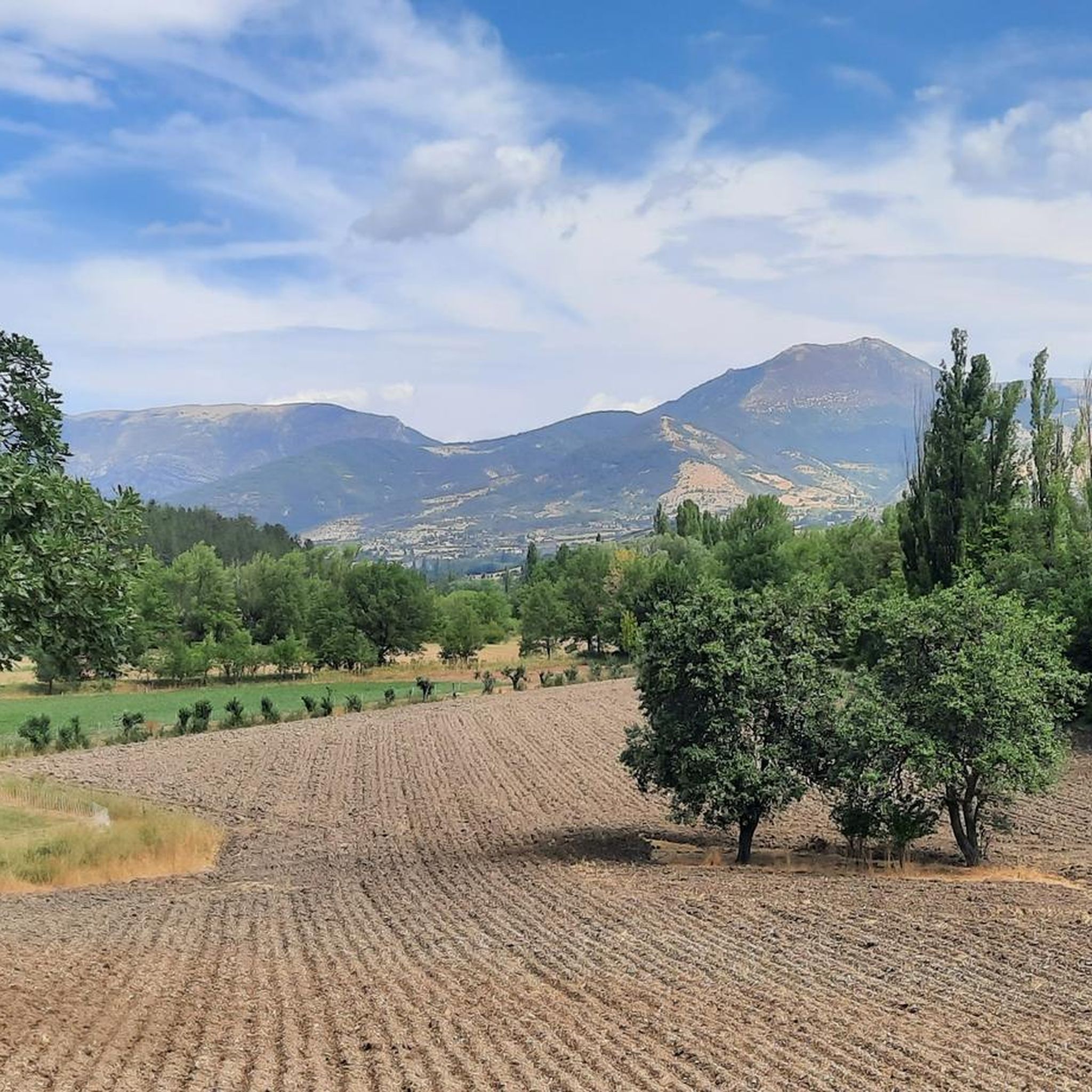
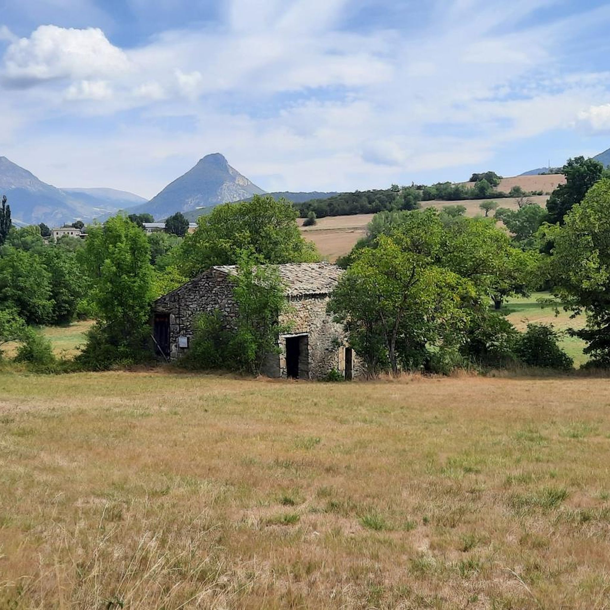
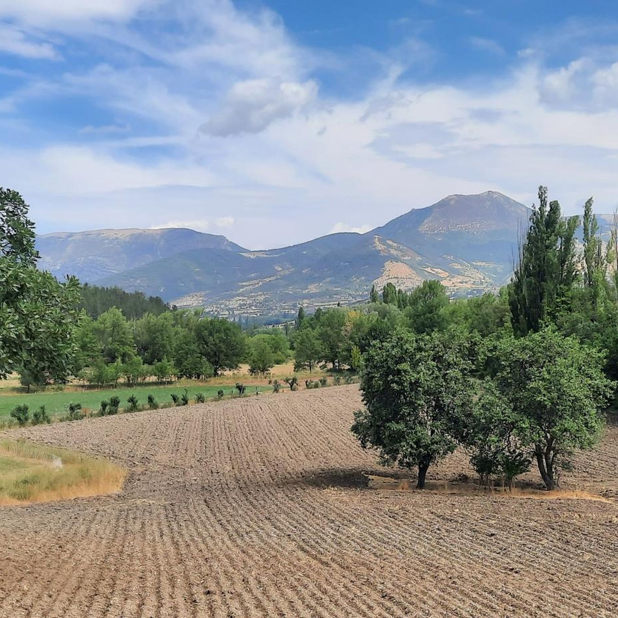
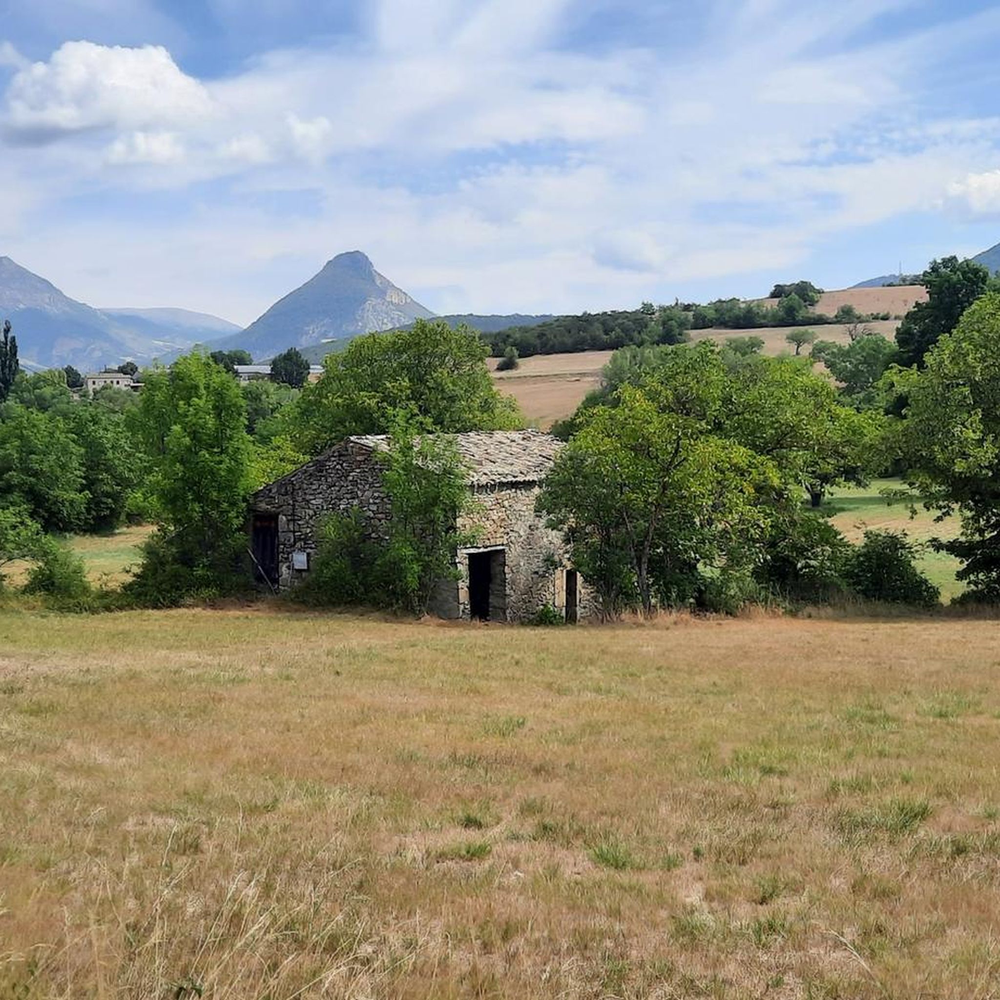
Jogging around Montferrand-La-Fare offers routes through a rugged environment in the Drôme department of Auvergne-Rhône-Alpes. The region is characterized by significant elevation changes, with terrain ranging from 546 meters to 1,392 meters, providing challenging running experiences. Trails often traverse mountainous areas, including the prominent Montagne de Vanige, and wind through the natural beauty of the Baronnies en Drôme Provençale. The presence of the Marcijaye River also adds to the diverse natural features available for exploration.
Best jogging routes around Montferrand-La-Fare
…Last updated: July 10, 2026
12
runners
9.93km
01:38
620m
620m
Hard run. Very good fitness required. Mostly paved surfaces. Suitable for all skill levels.
12
runners
20.2km
03:24
1,280m
1,270m
Hard run. Very good fitness required. Mostly paved surfaces. Suitable for all skill levels.

Sign up for free
8
runners
38.2km
05:12
1,320m
1,320m
Hard run. Very good fitness required. Mostly paved surfaces. Suitable for all skill levels.
5.0
(1)
4
runners
10.0km
01:21
400m
400m
Hard run. Very good fitness required. Mostly paved surfaces. Suitable for all skill levels.
3
runners
11.6km
01:38
540m
540m
Hard run. Very good fitness required. Mostly paved surfaces. Suitable for all skill levels.
Get access to more routes and recommendations from other explorers.
Sign up for free
Already have an account?
Our route recommendations are based on thousands of hikes, rides, and runs completed by other people on komoot.
Start today with a free account
Your next adventure awaits.
Login or Signup
Tips from the Community

For cyclists it's a climb: * Length: approx. 7 km * Elevation gain: approx. 320 m * Average gradient: 4.6% * Maximum gradient: approx. 5%
2
0
The Col de Peyruergue (794 m) is a pass located in the Drôme department, within the Parc naturel régional des Baronnies provençales. It connects the Ennuye valley with that of the Ouvèze, near Saint-Sauveur-Gouvernet.
3
0
Col de Perty is located in the Baronnies Provençales massif, in the Drôme department, in the Auvergne-Rhône-Alpes region, in the southeast of France. It reaches an altitude of 1,302 m and connects the Ouvèze valley with the Orpierre area, in the Hautes-Alpes.
5
0

bring good shoes and a windbreaker at the top
0
0

Magnificent panorama. Once at the top, it's not very difficult and very pleasant.
0
0
Magnificent region. I recommend the guest rooms at the Château de Rosans.
0
0

The Col de la Fromagère turns into the Col de Pommerol when you reach the summit. The climb is nevertheless magnificent on a small mountain road, with good percentages sometimes approaching 12%
0
0

Moderate gradient, beautiful views, and a wonderful descent towards St. Auban sur Ouveze
0
1
Frequently Asked Questions
How many running routes are available in Montferrand-La-Fare?
Montferrand-La-Fare offers nearly 30 diverse running routes. The majority, about two-thirds, are classified as difficult, providing challenging experiences for seasoned runners. The remaining routes are of moderate difficulty.
What makes the running trails in Montferrand-La-Fare unique?
The running trails in Montferrand-La-Fare are unique due to the region's rugged environment and significant elevation changes, ranging from 546 to 1,392 meters. You'll find yourself traversing mountainous areas, including the prominent Montagne de Vanige, and enjoying the natural beauty of the Baronnies en Drôme Provençale. The presence of the Marcijaye River also adds to the diverse natural features.
Are there any challenging long-distance running paths in the area?
Yes, for those seeking a significant challenge, routes like the Perty Pass – Chamouse Mountain loop from Saint-Auban-sur-l'Ouvèze offer extensive distances and considerable elevation. This particular trail spans over 38 kilometers and features substantial climbs, making it ideal for experienced trail runners.
Can I find running routes with panoramic views or scenic landmarks?
Absolutely. The mountainous terrain naturally provides many opportunities for scenic views. Routes often pass by notable landmarks such as Perty Pass or Col de Soubeyrand (994 m). The Rosans – COL DE POMMEROL loop from Rosans, for instance, is known for its panoramic vistas.
What do other runners say about the trails in Montferrand-La-Fare?
The running routes in Montferrand-La-Fare are highly regarded by the komoot community, boasting an average score of 5.0 stars from 3 reviews. Runners often praise the challenging climbs, extensive natural landscapes, and the immersive experience in the rugged environment.
Are there any circular running routes available?
Yes, many of the running routes in Montferrand-La-Fare are designed as loops, offering convenient circular paths. An example is the Rosans – Montagne de Raton loop from Rosans, which provides a challenging circular journey through rugged mountain trails.
Are there any easier running options for beginners or families?
While the majority of routes are classified as difficult, there are moderate options available. However, Montferrand-La-Fare's terrain is generally rugged with significant elevation changes, making it more suited for those comfortable with challenging runs. There are no routes specifically listed as 'easy' in the guide data, so beginners should approach with caution and consider the moderate trails first.
What is the best time of year for jogging in Montferrand-La-Fare?
The Baronnies en Drôme Provençale region, where Montferrand-La-Fare is located, is known for its natural beauty and aromatic plants. Spring and autumn generally offer pleasant temperatures for running, avoiding the heat of summer and potential snow or ice in winter at higher elevations. Always check local weather conditions before heading out.
Are there any trails that explore the Montagne de Vanige?
Yes, the Montagne de Vanige, with its trapezoidal summit, is a prominent natural landmark in the area. Trails around this mountain offer wild and scenic paths perfect for exploring on foot, providing an immersive experience in nature and challenging climbs.
Can I find running routes that pass through mountain passes?
Indeed. The region is characterized by numerous mountain passes that are often incorporated into running routes. For example, the Montagne de Raton loop from Col de la Fromagère includes a pass, and the Peyruergue Pass loop from Sainte-Euphémie-sur-Ouvèze specifically highlights a pass in its name, offering both a challenge and unique scenery.
What kind of terrain can I expect on the running trails?
You can expect a highly varied and often rugged terrain. The routes feature significant elevation changes, traversing mountainous areas, and winding through natural landscapes. While some sections might be well-maintained, many trails will be natural, unpaved paths, characteristic of a wild and scenic environment.
Most popular attractions around Montferrand-La-Fare

Get inspired with the komoot mobile app


Explore more
Browse the best Running Trails & Routes in other regions.
