The best walks and hikes around Ratières
4.2
(225)
1,396
hikers
124
hikes
Hiking around Ratières offers diverse landscapes, from lower altitudes to more elevated crests, providing varied terrain for exploration. The region is characterized by the Drôme River valley, which features a bucolic setting with opportunities for walks along its banks. Hikers can find paths leading through varied topography, with some routes offering views of distant natural features like gorges and waterfalls. The area also serves as a gateway to larger natural parks such as Pilat and Vercors, known for their extensive…
Last updated: October 18, 2026
4.0
(12)
80
hikers
13.8km
03:53
280m
280m
Moderate hike. Good fitness required. Easily-accessible paths. Suitable for all skill levels.
3.5
(2)
17
hikers
10.4km
02:58
240m
230m
Moderate hike. Good fitness required. Easily-accessible paths. Suitable for all skill levels.

4.0
(2)
13
hikers
12.8km
03:40
320m
320m
Moderate hike. Good fitness required. Mostly accessible paths. Sure-footedness required.
9
hikers
5.81km
01:43
170m
170m
Easy hike. Great for any fitness level. Easily-accessible paths. Suitable for all skill levels.
15
hikers
10.4km
03:06
330m
330m
Moderate hike. Good fitness required. Easily-accessible paths. Suitable for all skill levels.
Get access to more routes and recommendations from other explorers.
Already have an account?
Our route recommendations are based on thousands of hikes, rides, and runs completed by other people on komoot.
Start today with a free account
Your next adventure awaits.
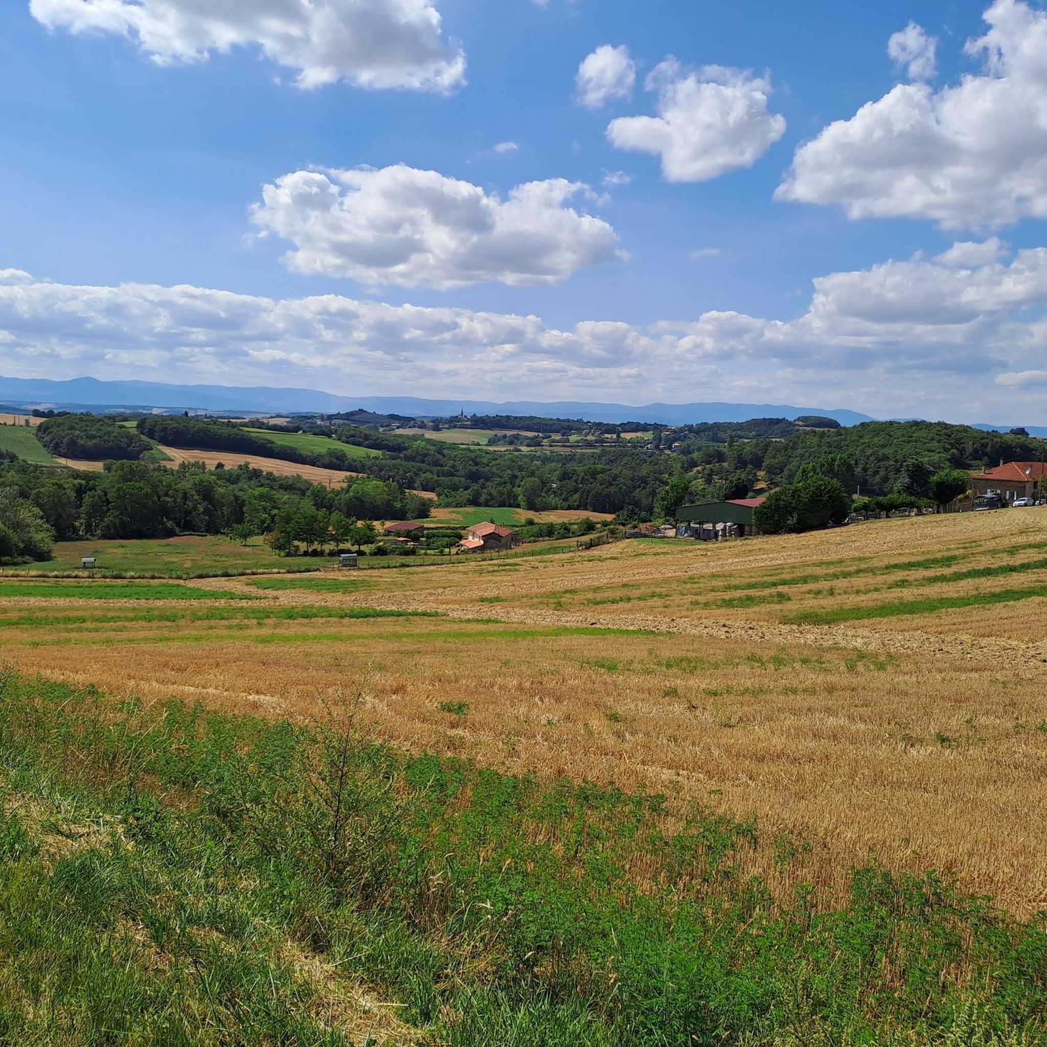
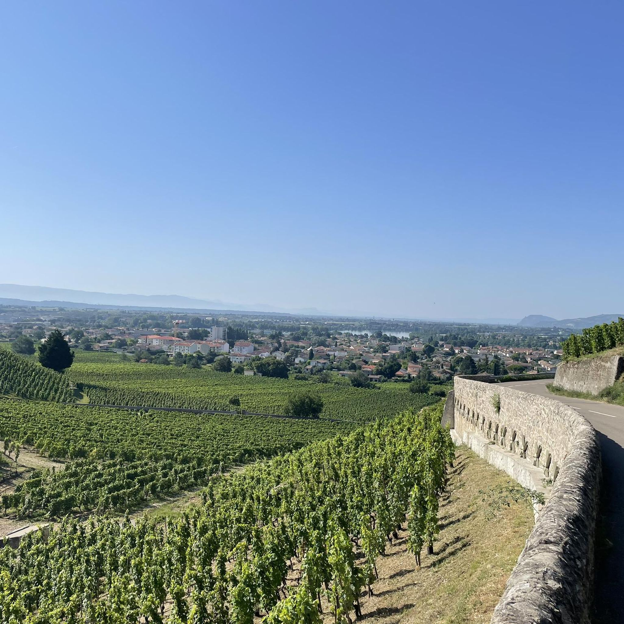
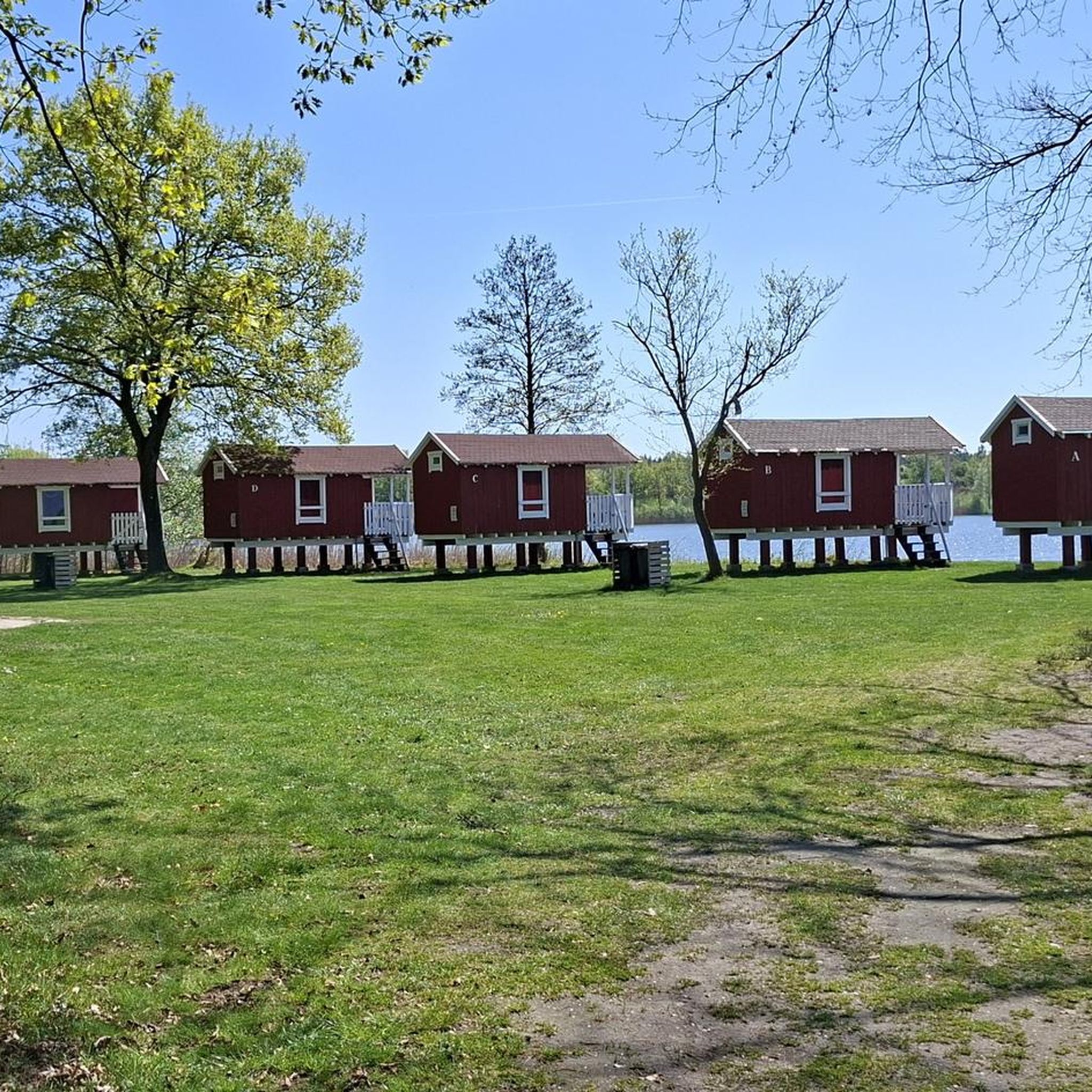
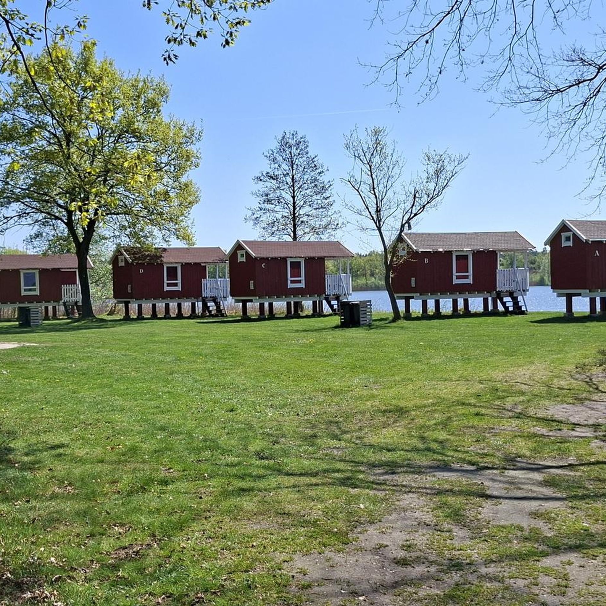

Tips from the Community

Lake Champos is an ideal place during the summer season for swimming. Here you will find supervised swimming, something to have a drink at the water's edge and water activities such as pedal boats, paddles and slides. Very popular with the inhabitants of the region, the attendance can be important during the weekends of July-August.
0
0
The history of this small village of 250 inhabitants, perched in the heart of the Drôme hills, is linked to that of the Principality of Monaco, thanks to a certain Lord Imbert de Bathernay. He is the ancestor of Prince Albert II of Monaco. Since May 2023, the town has officially become "Grimaldi historic site of Monaco". Discover its church and its troglodyte houses.
1
0

Frequently Asked Questions
How many hiking trails are available around Ratières?
Ratières offers a wide variety of hiking experiences, with nearly 100 routes available. These range from easy strolls to more challenging ascents, catering to different fitness levels and preferences. The komoot community has explored these trails over 1000 times, providing an average rating of 4.1 stars.
What do other hikers enjoy most about the trails in Ratières?
The hiking trails around Ratières are highly rated by the komoot community, with an average score of 4.1 stars from over 160 reviews. Hikers frequently praise the diverse landscapes, which include everything from lower altitudes to more elevated crests, and the bucolic setting along the Drôme River valley. The varied topography and proximity to natural parks like Pilat and Vercors are also often highlighted.
What is the best time of year to go hiking in Ratières?
The Drôme region, where Ratières is located, generally offers pleasant hiking conditions from spring through autumn. Spring brings blooming flora, while autumn showcases vibrant fall colors. Summer is also suitable, though it's advisable to start early to avoid the midday heat. Winter hiking is possible, but some higher-altitude trails might require appropriate gear due to snow or ice, especially closer to the Vercors massif.
Are there easy hiking options suitable for beginners or families in Ratières?
Yes, Ratières provides several easy hiking options perfect for beginners or families. There are 34 easy routes available, offering gentle terrain and shorter distances. For example, the Hiking loop from Charmes-sur-l'Herbasse is an easy 5.3 km trail, and the Bathernay loop from Bathernay is another accessible 5.8 km option.
Can I find challenging hikes with significant elevation around Ratières?
While Ratières itself offers moderate terrain, the broader region provides access to more challenging hikes. The area is a gateway to larger natural parks like Pilat and Vercors, which are known for their extensive networks and diverse ecosystems, including more elevated crests like Oeillon and Perdrix. These parks offer routes with more significant elevation gain and longer distances for experienced hikers.
Are there circular hiking routes available from Ratières?
Yes, many of the trails around Ratières are circular, allowing you to start and end your hike in the same location. A popular option is the Route de Sableux loop from Ratières, a moderate 10.4 km path that starts directly from the village. Another well-liked circular route is the Lac de Champos loop from Château de Collonges, which is 13.3 km long and circles a scenic lake.
Are there any hikes that feature waterfalls near Ratières?
While not directly within Ratières, the broader Drôme region offers natural attractions including waterfalls. The Cascade du Moulin-Marquis, located about 39 km from Ratières, provides a picturesque destination for a hike, offering a refreshing natural landmark. Exploring trails in that vicinity could lead you to this beautiful cascade.
What kind of natural landscapes and viewpoints can I expect on hikes around Ratières?
Hiking around Ratières offers varied topography, from gentle river valleys to more elevated crests. You can expect views of the Drôme River, which flows through a bucolic setting amidst orchards and vineyards. Further afield, the Oeillon and Perdrix Crests, though about 36-38 km away, offer panoramic views of the surrounding landscapes. The Vercors Natural Park, also accessible from the region, is renowned for its grandiose panoramas and impressive geological formations.
Are there any cultural or historical sites I can visit while hiking near Ratières?
Absolutely! The area around Ratières blends natural beauty with cultural heritage. You can explore the 11th-century Tower of Ratières and its beautiful 5-hectare gardens, offering a serene environment. Just 9 km away, the unique Palais Idéal du Facteur Cheval is a must-see architectural marvel. Other nearby attractions include Rochetaillée Castle and the Collegiate Church of Saint Peter and Saint Paul, which can be combined with local walks.
Can I bring my dog on the hiking trails in Ratières?
Many hiking trails in the Ratières area are dog-friendly, allowing you to enjoy the outdoors with your canine companion. However, it's always recommended to keep your dog on a leash, especially in agricultural areas, near livestock, or in nature reserves, to protect wildlife and ensure the safety of others. Please check specific trail regulations if you plan to enter protected areas.
Is parking readily available for hikers in Ratières?
Yes, parking is generally available in and around Ratières, especially at common starting points for popular trails or in village centers. For routes that begin from specific locations like Château de Collonges or Claveyson, you will typically find designated parking areas. It's always a good idea to check the starting point of your chosen route for specific parking information.
What is the typical duration for hikes in the Ratières area?
Hike durations in Ratières vary significantly depending on the route's length and difficulty. Easy trails like the Hiking loop from Charmes-sur-l'Herbasse can be completed in about 1 hour 30 minutes. Moderate routes, such as the Route de Sableux loop from Ratières (10.4 km), typically take around 3 hours. Longer moderate hikes, like the Lac des Goutoules – Table d'orientation loop from Claveyson (12.8 km), can take up to 3 hours 40 minutes.
Most popular attractions around Ratières

Get inspired with the komoot mobile app


Explore more
Browse the best Hikes in other regions.
