The best running trails around Saint-Sever-Du-Moustier
5.0
(4)
235
runners
33
runs
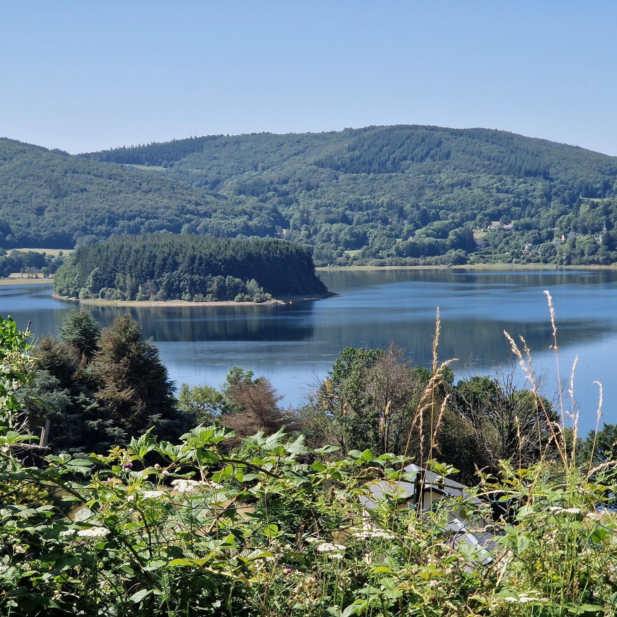
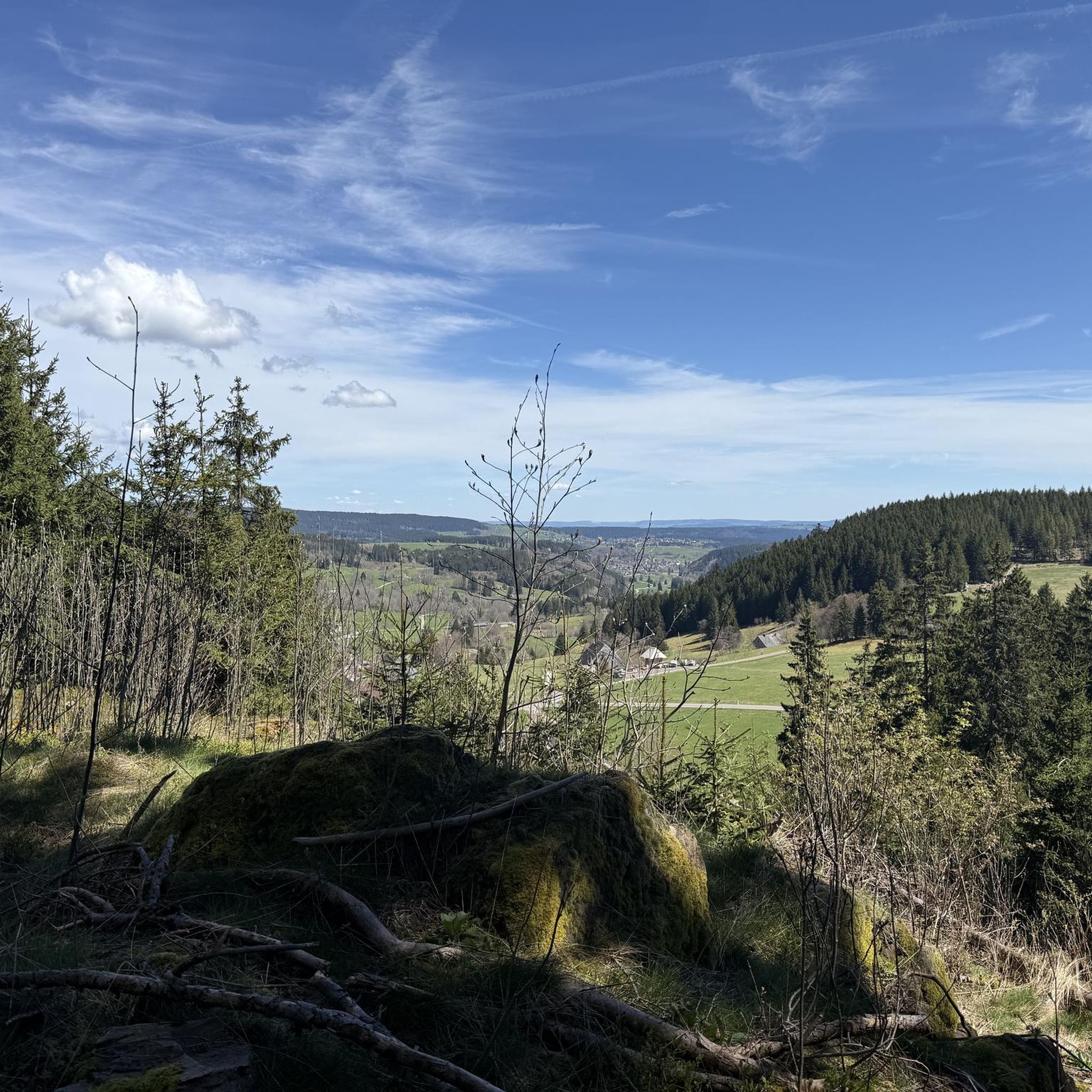
Jogging routes Saint-Sever-Du-Moustier are set within a diverse natural environment, bordered by the Parc Naturel Régional des Grands Causses and the Parc Naturel Régional du Haut-Languedoc. The region features hilly and varied terrain, characterized by "puechs et vallons" (hills and valleys), offering dynamic elevation changes. Extensive forest paths and trails, alongside small rivers and streams like the Toudoure, provide varied running surfaces. This landscape offers a natural and invigorating experience for runners.
Best jogging routes around Saint-Sever-Du-Moustier
- The most popular…
Last updated: June 29, 2026
10
runners
18.2km
02:18
530m
530m
Hard run. Very good fitness required. Mostly paved surfaces. Suitable for all skill levels.
5.0
(1)
68
runners
10.8km
01:23
300m
300m
Hard run. Very good fitness required. Mostly paved surfaces. Suitable for all skill levels.

Sign up for free
65
runners
23.6km
03:12
810m
810m
Hard run. Very good fitness required. Mostly accessible paths. Some sure footedness required.
12
runners
7.95km
00:53
110m
110m
Moderate run. Good fitness required. Mostly paved surfaces. Suitable for all skill levels.
5.0
(1)
4
runners
5.40km
00:40
150m
150m
Moderate run. Good fitness required. Mostly paved surfaces. Suitable for all skill levels.
Get access to more routes and recommendations from other explorers.
Sign up for free
Already have an account?
Our route recommendations are based on thousands of hikes, rides, and runs completed by other people on komoot.
Start today with a free account
Your next adventure awaits.
Login or Signup
Tips from the Community

The Wild Child: In 1798, in the woods of La Bassine, hunters discovered a child potentially adopted by wolves and raised as one of their own.
0
0

The peak of Montalet, at 1259 meters, is one of the highest peaks of the Tarn (only surpassed by the puech de Montgrand and the puech de Rascas). The view of the south of the Massif Central from the Rocher de la Vierge is magnificent.
0
0
The Roc des Ecus at 1074m offers a magnificent belvedere allowing you to enjoy a beautiful view of Lacaune.
0
0
The Roc des Ecus is not the highest of the peaks but it offers a magnificent belvedere allowing you to enjoy in particular a beautiful view of Lacaune.
0
0
The peak of Montalet, at 1259 meters, is one of the highest peaks of the Tarn (only surpassed by the puech de Montgrand and the puech de Rascas). The view of the south of the Massif Central from the Rocher de la Vierge is magnificent.
1
0
Frequently Asked Questions
How many running routes are available around Saint-Sever-Du-Moustier?
There are over 30 dedicated running routes around Saint-Sever-Du-Moustier, offering a wide range of options for all fitness levels. These routes are set within a diverse natural environment, bordered by the Parc Naturel Régional des Grands Causses and the Parc Naturel Régional du Haut-Languedoc.
What kind of terrain can I expect on the jogging trails in this region?
The region features hilly and varied terrain, characterized by 'puechs et vallons' (hills and valleys), providing dynamic elevation changes. You'll find extensive forest paths, trails, and scenic sections alongside small rivers and streams like the Toudoure, offering varied running surfaces and a natural, invigorating experience.
Are there any easy or beginner-friendly running routes in Saint-Sever-Du-Moustier?
While many routes offer a challenge, there are 19 moderate running routes available. For example, the Château de Calmel loop from La Balmette is a moderate 4.9-mile (7.9 km) trail that can be completed in about 53 minutes, offering varied landscapes without extreme difficulty.
What are some longer or more challenging running routes for experienced runners?
For those seeking a challenge, there are 14 difficult routes. The Hautes-Terres d'Oc Regional Tour is a difficult 11.3-mile (18.2 km) trail with significant elevation changes, typically taking over two hours. Another demanding option is the Lacaune – Montalet Peak loop from Lacaune, which is 14.4 miles (23.2 km) long.
Are there any circular running routes available?
Yes, many of the running routes in the area are circular, allowing you to start and finish at the same point. Examples include the Lacaune loop from Lacaune, a challenging 7.3-mile (11.7 km) path, and the Running loop from Belmont-sur-Rance, a moderate 3.6-mile (5.7 km) option.
What interesting landmarks or natural features can I see while running?
The region offers several points of interest. You might encounter the Montalet Peak or the Roc des Ecus, offering scenic views. The Combret Medieval Village is also a notable historical site nearby. The varied topography with its 'puechs et vallons' (peaks and valleys) and extensive forest paths are natural highlights in themselves.
What do other runners say about the trails in Saint-Sever-Du-Moustier?
The running routes in Saint-Sever-Du-Moustier are highly rated by the komoot community, with an average score of 5.0 stars from over 3 reviews. More than 230 runners have used komoot to explore the varied terrain, often praising the natural beauty and diverse landscapes.
Is Saint-Sever-Du-Moustier a good place for trail running?
Absolutely. Situated in the foothills of the Monts de Lacaune, the commune features 'puechs et vallons' (peaks and valleys), providing a dynamic and engaging terrain ideal for trail running. The extensive network of over 120 kilometers of marked forest paths and trails within the Lacaune sector caters perfectly to this sport.
Are there options for parking near the running routes?
While specific parking details for each route vary, the extensive trail network in the Lacaune sector suggests that parking facilities are generally available near popular trailheads. It's advisable to check individual route descriptions on komoot for precise starting points and parking information.
What is the best time of year to go running in Saint-Sever-Du-Moustier?
The region's extensive forest paths provide ample shade, making it pleasant for running even during warmer months. However, the varied terrain and natural beauty can be enjoyed across multiple seasons, with spring and autumn offering particularly comfortable temperatures and vibrant landscapes.
Can I find information about the wider trail network in the area?
Yes, the area boasts an extensive trail network, particularly within the Lacaune sector, with over 120 kilometers of marked forest paths. For more comprehensive information on the broader network and trail stations, you can visit the local tourism resource: tourisme-hautvaldesevre.fr.
Most popular routes around Saint-Sever-Du-Moustier
Most popular attractions around Saint-Sever-Du-Moustier

Get inspired with the komoot mobile app


Explore more
Browse the best Running Trails & Routes in other regions.
