The best walks and hikes around La Bastide-Pradines
4.5
(683)
4,632
hikers
223
hikes
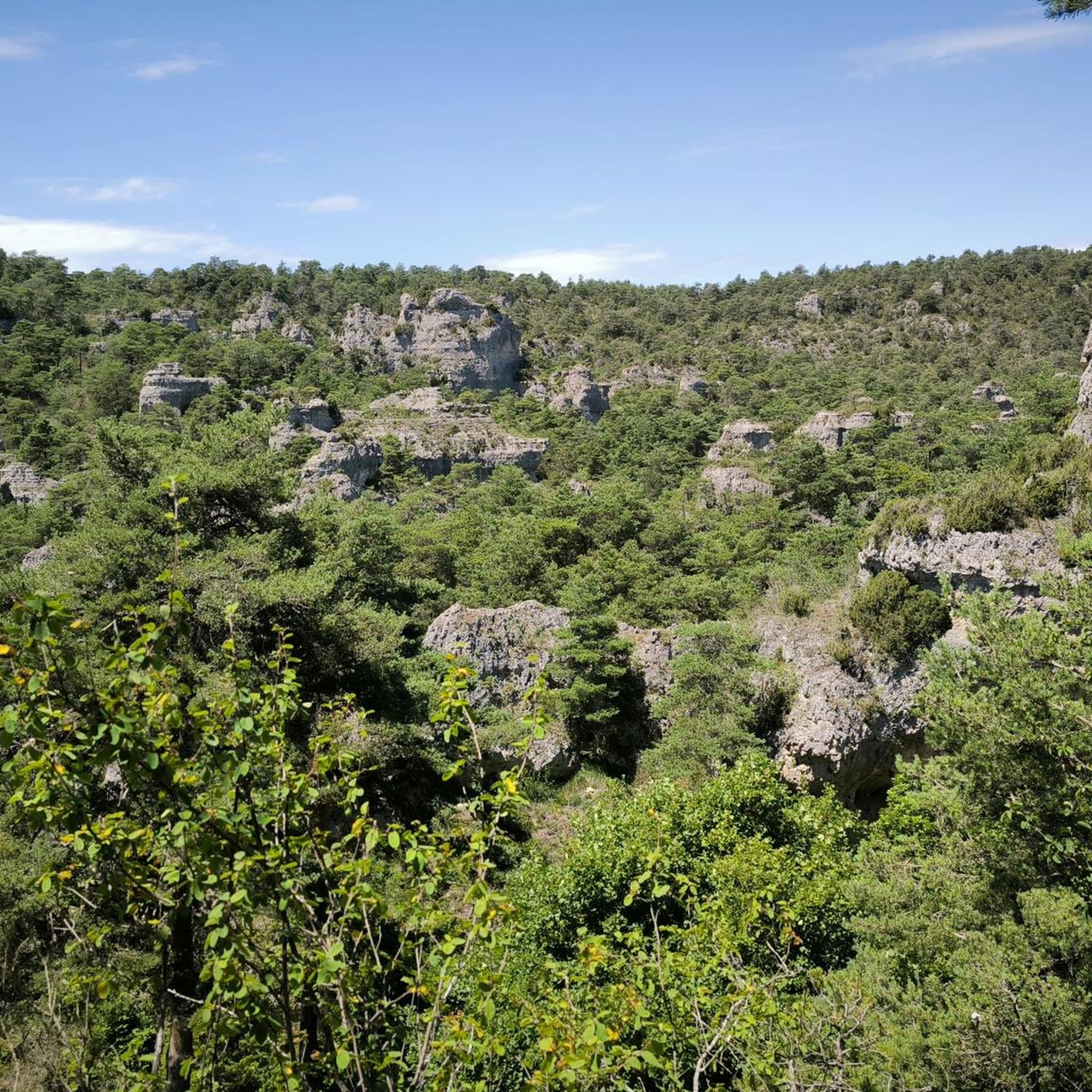
Hiking around La Bastide-Pradines offers access to the diverse landscapes of the Parc Naturel Régional des Grands Causses, a UNESCO World Heritage site. The region is characterized by the vast Larzac Plateau, limestone formations, and the Cernon Valley, through which the Cernon river flows. Trails lead through forested areas, across plateaus, and offer views of dramatic gorges. The terrain includes both gentle paths and more challenging ascents.
Best hiking trails around La Bastide-Pradines
- The most popular hiking route is Maquisards…
Last updated: October 11, 2026
4.5
(4)
30
hikers
12.6km
03:47
390m
390m
Moderate hike. Good fitness required. Easily-accessible paths. Suitable for all skill levels.
4.5
(4)
11
hikers
Moderate hike. Great for any fitness level. Mostly accessible paths. Sure-footedness required.

4.3
(6)
17
hikers
Easy hike. Great for any fitness level. Easily-accessible paths. Suitable for all skill levels.
6
hikers
6.23km
02:11
350m
350m
Moderate hike. Good fitness required. Easily-accessible paths. Suitable for all skill levels.
3.0
(2)
10
hikers
9.15km
02:53
360m
360m
Moderate hike. Good fitness required. Easily-accessible paths. Suitable for all skill levels.
Get access to more routes and recommendations from other explorers.
Already have an account?
Our route recommendations are based on thousands of hikes, rides, and runs completed by other people on komoot.
Start today with a free account
Your next adventure awaits.


Tips from the Community

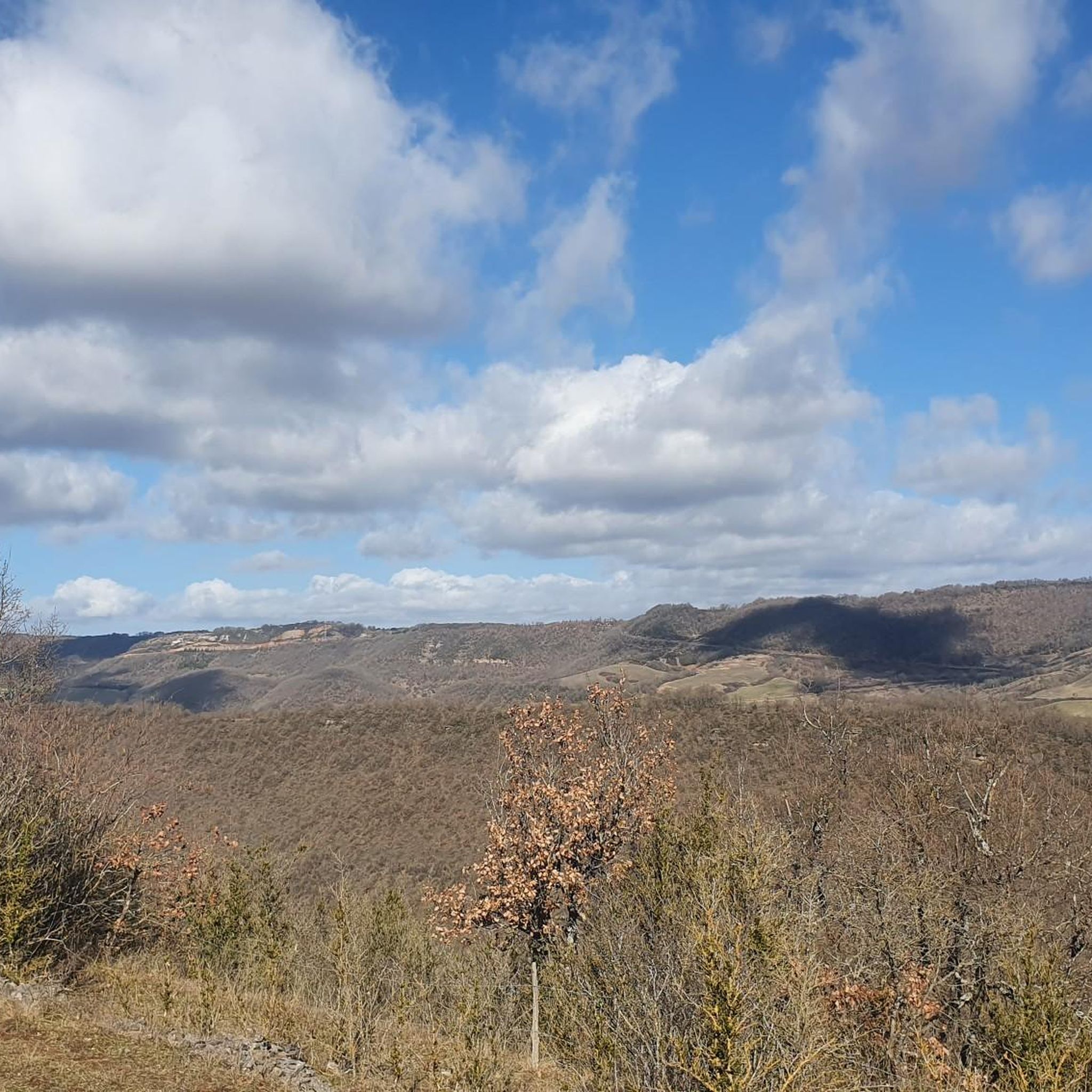
From the Larzac plateau, the Brunas site offers a vast panorama of the Millau valley. Stretched between the two banks of the Tarn, the viaduct with its seven concrete piers appears in its entirety. Behind it unfolds the entire causse Rouge, a large limestone plateau whose undulations dominate the valley. Then, the Puech d’Andan is distinguished by its wooded silhouette, cut in two by a clear central notch. Further to the right stands the Pouncho d'Agast, a pyramidal promontory marking the beginning of the causse Noir at an altitude of 841 m. Brunas is also a true site for free flight. The take-off area is located directly on the plateau; the site is mainly used with a north wind and allows paragliders to take off and then land in the vicinity of the same sector, with approximately 370 m of elevation difference down to the valley. The spectacle of the sails evolving in front of the viaduct adds a particular dimension to this panorama.
2
0
From the Larzac plateau, the Brunas site offers a vast panorama of the Millau valley. Stretched between the two banks of the Tarn, the viaduct with its seven concrete piers appears in its entirety. Behind it unfolds the entire Causse Rouge, a large limestone plateau whose undulations dominate the valley. Then, the Puech d’Andan is distinguished by its wooded silhouette, cut in two by a clear central notch. Further to the right stands the Pouncho d'Agast, a pyramidal promontory marking the beginning of the Causse Noir at an altitude of 841 m. Brunas is also a real site for paragliding. The take-off area is located directly on the plateau; the site is mainly used with a north wind and allows paragliders to take off and land near the same area, with an altitude difference of about 370 m to the valley. The spectacle of the sails evolving in front of the viaduct adds a special dimension to this panorama.
3
0
Located at an altitude of approximately 730 metres, the Cap de Coste viewpoint overlooks the eastern end of the Boundoulaou cirque. It reveals a vast panorama of the Millau basin and its surrounding massifs. To the left, the easily recognisable Millau viaduct spans the Tarn valley to link the Larzac to the Causse Rouge. Further to the right stretches the latter: a large limestone plateau whose undulations dominate the valley. Next, the Puech d’Andan stands out with its wooded silhouette, cut in two by a distinct central notch. Finally, further away, the Pouncho d’Agast, an emblematic relief of the Causse Noir, is easily recognised by its limestone pyramid profile.
3
0
Perched at an altitude of about 730 meters, the Cap de Coste viewpoint overlooks the eastern end of the Boundoulaou cirque. It reveals a vast panorama of the Millau basin and its surrounding massifs. To the left, the easily recognizable Millau Viaduct spans the Tarn valley to connect the Larzac to the Causse Rouge. Further to the right stretches the latter: a large limestone plateau whose undulations dominate the valley. Then, the Puech d’Andan stands out with its wooded silhouette, cut in two by a clear central notch. Finally, further away, the Pouncho d’Agast, an emblematic relief of the Causse Noir, is easily recognized by its profile like a true limestone pyramid.
3
0
Perché at an altitude of approximately 730 meters, the Cap de Coste viewpoint overlooks the eastern end of the Boundoulaou cirque. It reveals a vast panorama of the Millau basin and its surrounding massifs. To the left, the easily recognizable Millau Viaduct spans the Tarn valley, connecting the Larzac to the Causse Rouge. Further to the right stretches the latter: a large limestone plateau whose undulations dominate the valley. Then, the Puech d’Andan stands out with its wooded silhouette, cut in two by a clear central notch. Finally, further away, the Pouncho d’Agast, an emblematic relief of the Causse Noir, is easily recognized by its profile like a true limestone pyramid.
2
0

History and nature an ideal mix
0
0

Very nice viewing platform with information board about the Millau Bridge
0
0

Frequently Asked Questions
How many hiking trails are available around La Bastide-Pradines?
There are over 220 hiking trails around La Bastide-Pradines, catering to various skill levels. You'll find a good mix, with nearly 100 easy routes, over 100 moderate options, and around 20 more challenging trails to explore.
What kind of landscapes can I expect to see while hiking in La Bastide-Pradines?
Hiking in La Bastide-Pradines offers a diverse range of landscapes. You'll traverse the vast Larzac Plateau with its unique seasonal flora, explore the picturesque Cernon Valley, and discover the wild nature of the Parc Naturel Régional des Grands Causses, a UNESCO World Heritage site. The area also features dramatic gorges and forested hills, providing varied scenery.
Are there any notable viewpoints or natural landmarks to discover on the trails?
Yes, the region is rich in natural landmarks and viewpoints. A prominent feature is the Rock of the Lion (Rocher du Lion), an imposing rock formation offering superb views. You can also visit the Cap de Coste Viewpoint for panoramic vistas. The Cliffs of the Cirque du Boundoulaou also offer impressive geological formations.
What do other hikers say about the trails in La Bastide-Pradines?
The trails in La Bastide-Pradines are highly regarded by the komoot community, with an average rating of 4.5 stars from over 580 reviews. Hikers often praise the varied terrain, the stunning views of the Cernon Valley and Larzac Plateau, and the well-maintained paths that lead through both historical sites and natural wonders.
Are there any easy or family-friendly hiking options?
Yes, there are nearly 100 easy routes suitable for families or those looking for a more relaxed walk. An example is the Cap de Coste Viewpoint – Brunas Viewpoint loop from Jasse de Bessiers, which is an easy 7.1 km trail. These trails often feature gentle paths across meadows and through forests.
Can I find circular hiking routes in the area?
Yes, many of the trails around La Bastide-Pradines are circular, allowing you to start and end at the same point. For instance, the Tour du Viala-du-Pas-de-Jaux – Cirque de Tournemire loop from Tournemire is a moderate 16.8 km circular path offering views of the Cirque de Tournemire.
Are there any historical sites or points of interest along the hiking trails?
Absolutely. The region is rich in history. You can discover the Grotte du Maquisard (also known as "La Baoumasse"), a natural cavity with historical significance. An ancient mule track, once used by the Hospitallers, also descends steeply towards the Cernon, offering a glimpse into the past. The village itself has historical charm with a 14th-century fortified granary and 12th-century houses.
What is the best time of year to go hiking in La Bastide-Pradines?
The best time to hike in La Bastide-Pradines is generally from spring to autumn. Spring brings vibrant wildflowers like orchids and asphodels, while June showcases angel hair (stipa pennata). Autumn offers beautiful foliage with rich, vibrant hues. The diverse flora of the Larzac Plateau changes with the seasons, providing a unique experience throughout these months.
Are there any trails that pass by interesting geological formations?
Yes, the area is known for its impressive geological features. Beyond the immediate vicinity, you can explore spectacular formations like the Chaos de Montpellier-le-Vieux (20 km away) or the Aven Armand (35 km away). Closer to La Bastide-Pradines, the limestone landscapes of the Larzac Plateau and the dramatic gorges themselves are geological wonders.
What are some longer, more challenging routes for experienced hikers?
For experienced hikers, there are around 20 difficult routes available. While specific challenging routes are not detailed here, the longer moderate trails like the Maquisards Trail (12.6 km with significant elevation gain) can provide a good workout. These routes often involve more substantial ascents and cover greater distances across the plateaus and valleys.
Are there any attractions nearby that I can visit after a hike?
Yes, La Bastide-Pradines is a great base for exploring nearby attractions. Just 10 km away is the impressive Millau Viaduct, with a dedicated viewpoint. You can also visit the classified "Most Beautiful Villages" of Peyre (11 km) and La Couvertoirade (24 km) for cultural exploration.
Most popular routes around La Bastide-Pradines
Most popular attractions around La Bastide-Pradines

Get inspired with the komoot mobile app


Explore more
Browse the best Hikes in other regions.
