The best running trails around Montceau-Les-Mines
4.8
(22)
1,316
runners
58
runs
Jogging routes around Montceau-les-Mines traverse a landscape shaped by its industrial heritage and natural features. The region is characterized by the historic Canal du Centre, offering flat, picturesque paths. Surrounding areas include diverse natural settings with woods, ponds, and a mix of urban and rural terrain. The broader Creusot Montceau area also presents hilly countryside for varied running experiences.
Best jogging routes around Montceau-Les-Mines
- The most popular jogging route is Plan d'eau des Fouthiaux loop from Le Magny, a…
Last updated: July 3, 2026
53
runners
15.1km
01:44
160m
160m
Hard run. Very good fitness required. Mostly paved surfaces. Suitable for all skill levels.
5.0
(1)
54
runners
16.0km
01:56
180m
180m
Hard run. Very good fitness required. Mostly paved surfaces. Suitable for all skill levels.

Sign up for free
16
runners
10.9km
01:09
90m
90m
Moderate run. Good fitness required. Mostly paved surfaces. Suitable for all skill levels.
13
runners
13.9km
01:29
160m
160m
Moderate run. Good fitness required. Mostly paved surfaces. Suitable for all skill levels.
15
runners
9.11km
01:04
110m
110m
Moderate run. Good fitness required. Mostly paved surfaces. Suitable for all skill levels.
Get access to more routes and recommendations from other explorers.
Sign up for free
Already have an account?
Our route recommendations are based on thousands of hikes, rides, and runs completed by other people on komoot.
Start today with a free account
Your next adventure awaits.
Login or Signup
Popular around Montceau-Les-Mines
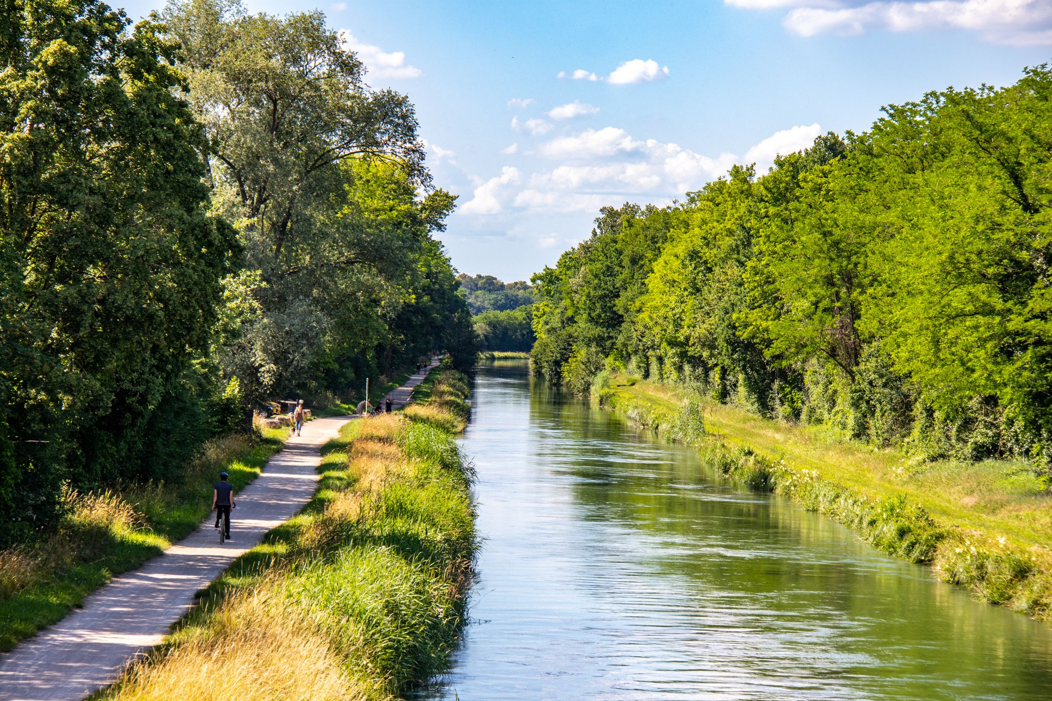
EuroVelo 6 – between the Rhine and the Loire by bike
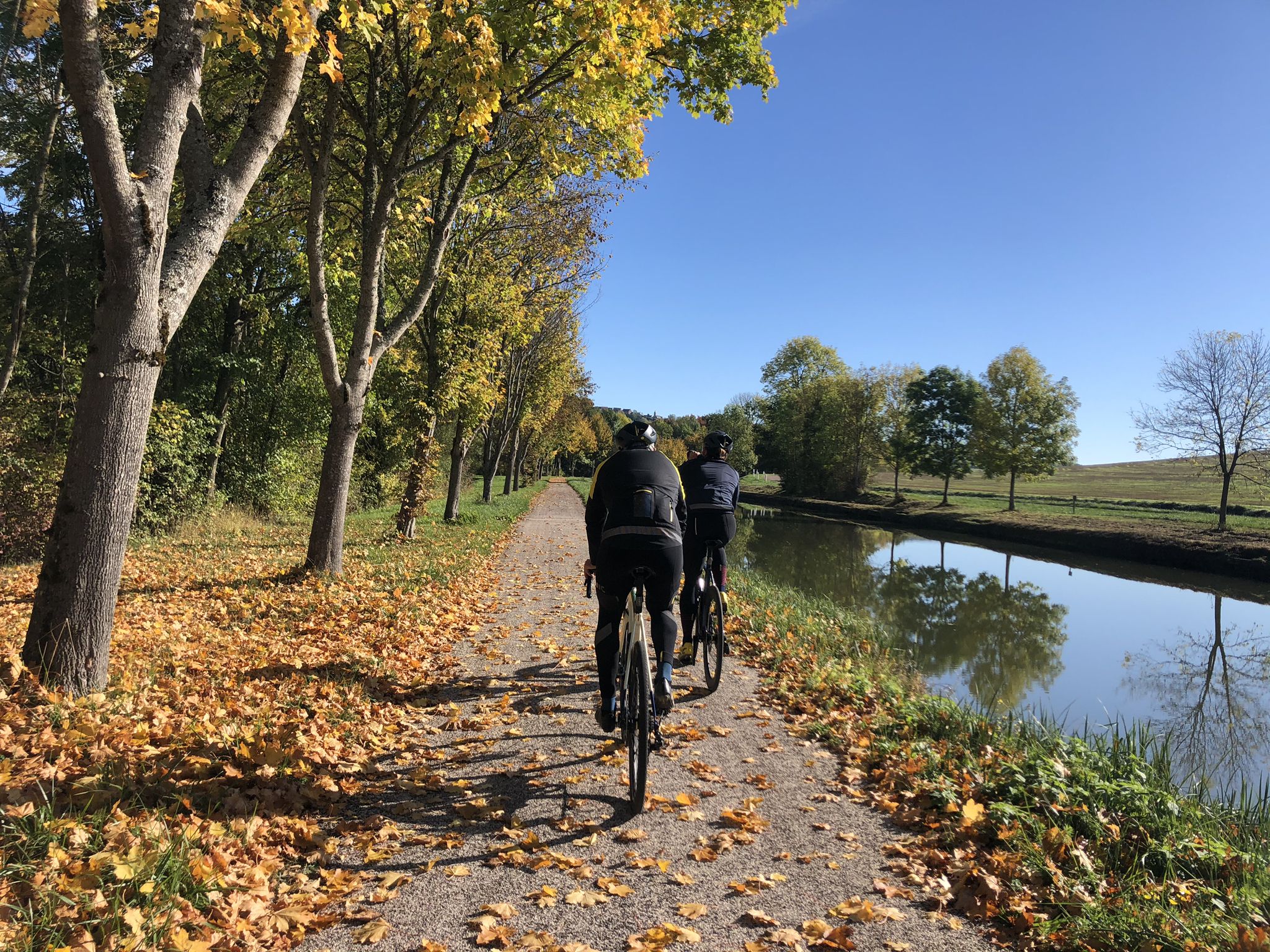
Greenways, vineyards and canals – Le Tour de Bourgogne à vélo
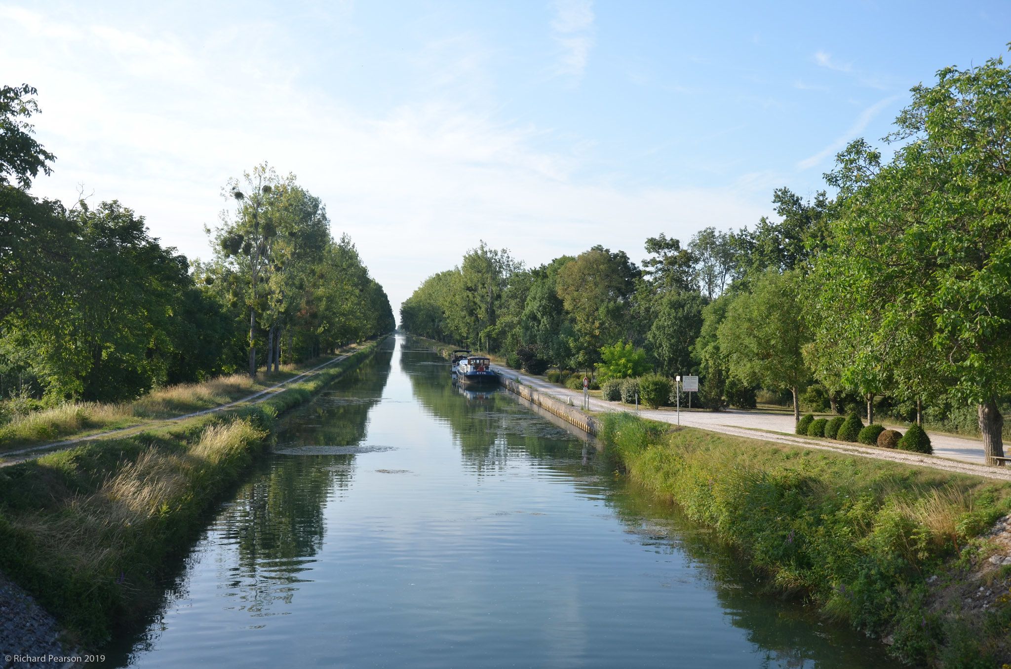
France’s water-rich region — Burgundy's four canals
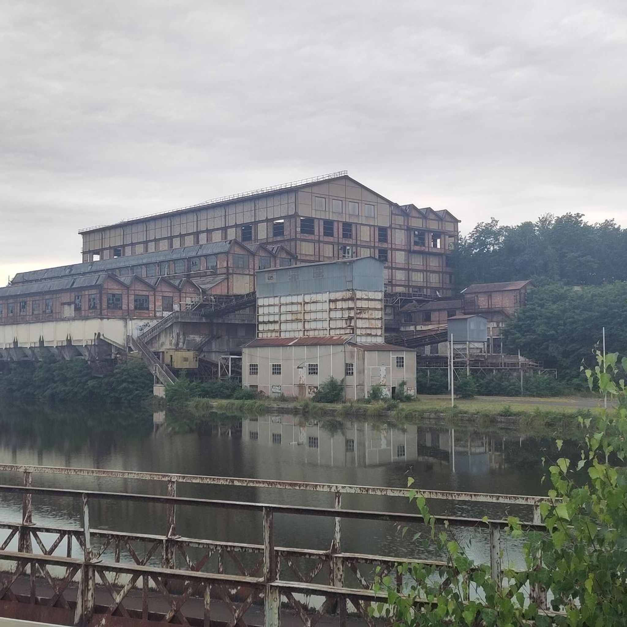
Road Cycling Routes around Montceau-Les-Mines
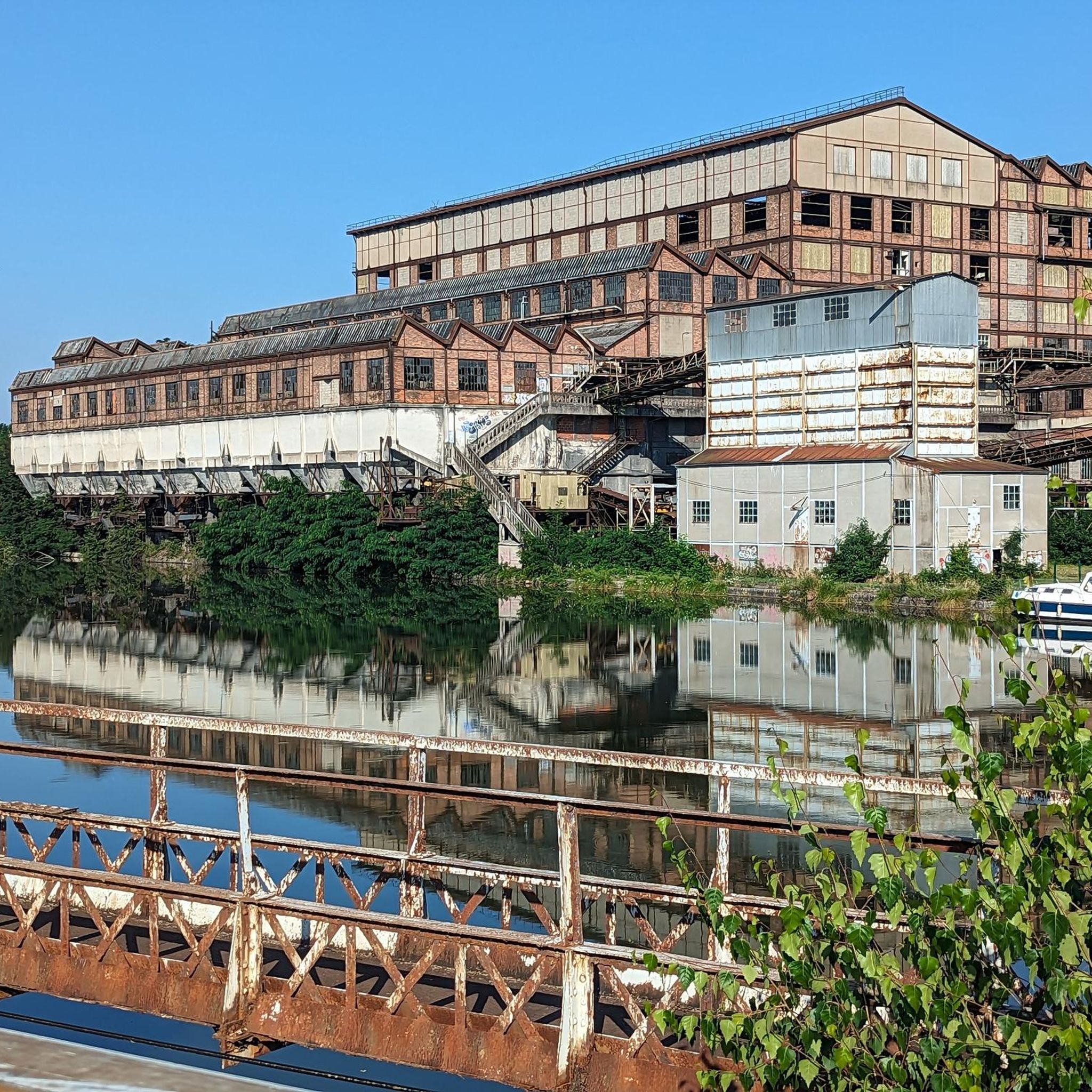
Cycling around Montceau-Les-Mines
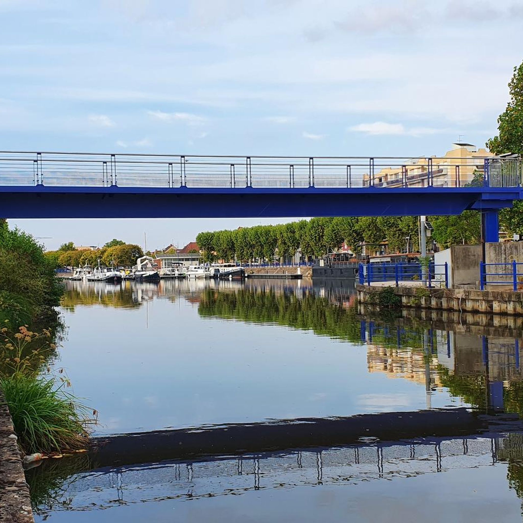
Hiking around Montceau-Les-Mines
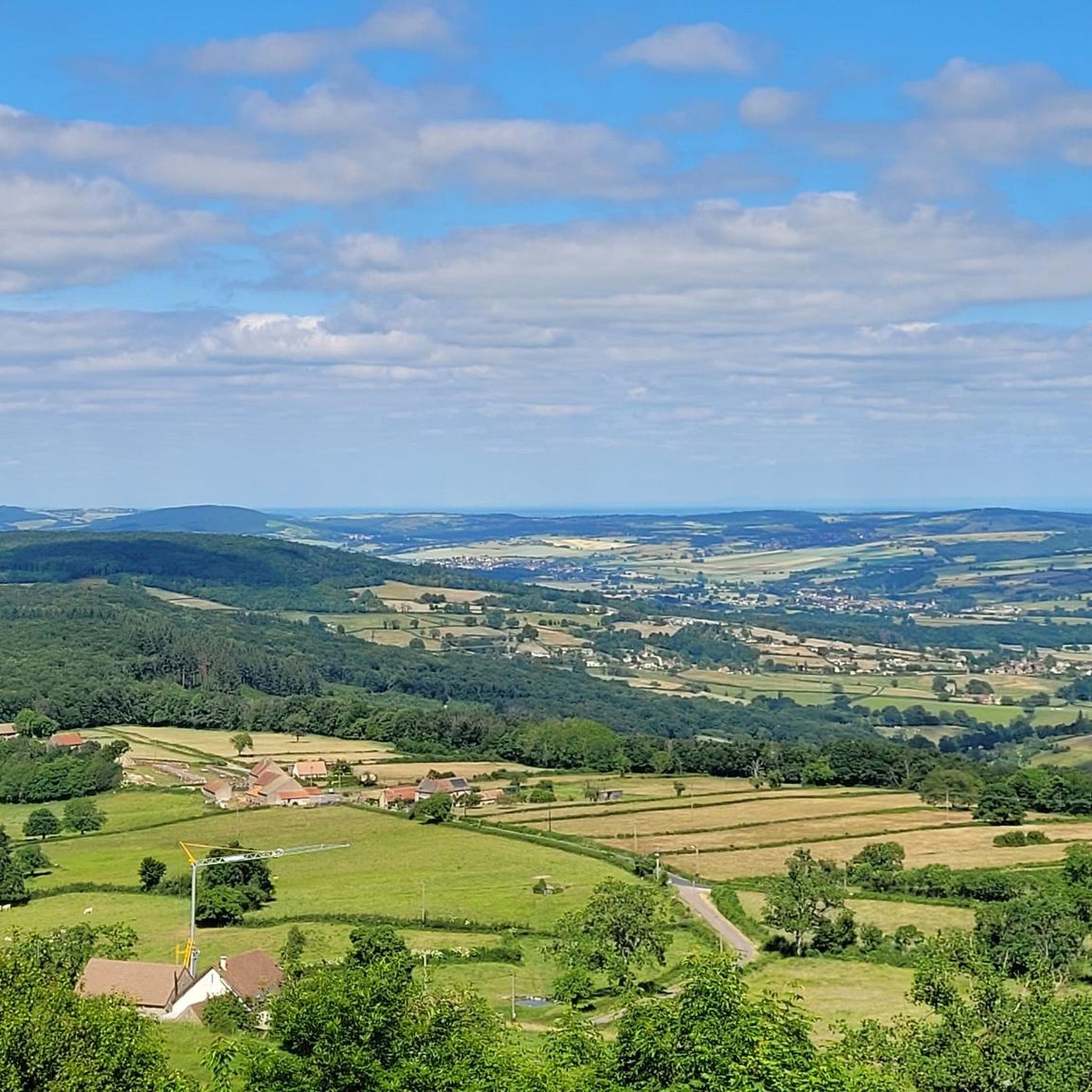
MTB Trails around Montceau-Les-Mines
Other adventures around Montceau-Les-Mines


Tips from the Community

Montceau-les-Mines, a former mining town in Saône-et-Loire, blends industrial heritage, a dynamic cultural life, a marina on the Canal du Centre and green spaces around the Lac du Plessis.
0
0
Frequently Asked Questions
How many running routes are available around Montceau-les-Mines?
There are over 60 running routes around Montceau-les-Mines, offering a wide variety of options for different fitness levels and preferences. The komoot community has explored these trails over 1000 times.
Are there any easy running paths for beginners in Montceau-les-Mines?
Yes, Montceau-les-Mines offers several easy running paths, particularly along the Canal du Centre. These routes are generally flat and provide a peaceful experience. For example, the Lac Saint-Pierre – Étang du Plessis loop from Montceau-les-Mines is a moderate route with relatively low elevation gain, making it accessible for many runners.
What are the options for long-distance running trails in the area?
For those seeking longer distances, routes like the Plan d'eau des Fouthiaux loop from Le Magny cover nearly 15 km. Another excellent option is the Montceau-les-Mines loop from Montceau-les-Mines, which is also around 14 km and offers a comprehensive exploration of the town's surroundings.
Can I find circular running routes in Montceau-les-Mines?
Absolutely. Many of the running routes in Montceau-les-Mines are circular, allowing you to start and finish at the same point. Popular examples include the Plan d'eau des Fouthiaux loop and the Lac Saint-Pierre – Étang du Plessis loop, both offering scenic circuits.
What kind of scenery can I expect on the running trails?
The running trails in Montceau-les-Mines offer diverse scenery. You'll find picturesque paths along the historic Canal du Centre, routes through wooded areas like the Running loop from Bois du Verne, and trails around scenic ponds and lakes such as the Étang des Puits – Bois des Ranches loop. The broader region also features hilly countryside, providing varied terrain and views.
Are there any interesting landmarks or attractions along the running routes?
Yes, many routes incorporate or pass by points of interest. The Canal du Centre itself is a significant historical landmark, offering views of the town's industrial heritage. You might also encounter the Briqueterie de Ciry-le-Noble or enjoy a beautiful route through the hills of Burgundy, providing scenic viewpoints.
What do other runners say about the trails in Montceau-les-Mines?
The running routes in Montceau-les-Mines are highly rated by the komoot community, with an average score of 4.9 stars from more than 10 reviews. Runners often praise the variety of terrain, from flat canal paths to more challenging routes with elevation, and the peaceful natural settings.
Are there running routes suitable for families?
Many of the flatter sections, particularly along the Canal du Centre, are well-suited for family runs or walks. The easy-rated routes provide accessible terrain for various fitness levels, making them enjoyable for families looking to get active together.
What is the best time of year for running in Montceau-les-Mines?
Montceau-les-Mines offers good running conditions throughout much of the year. Spring and autumn provide pleasant temperatures and beautiful scenery. Summer is also popular, with trails along waterways offering cooler options. Even in winter, many paved or well-maintained paths remain accessible for running.
Are there any running routes that incorporate wooded areas?
Yes, several routes take you through wooded areas, providing shade and a change of scenery. The Running loop from Bois du Verne is a prime example, offering a refreshing experience amidst nature. The Étang des Puits – Bois des Ranches loop also features sections through the Bois des Ranches.
How accessible are the running routes by public transport?
While specific public transport details for each trailhead vary, Montceau-les-Mines is a town with local transport options. Many routes, especially those starting directly from Montceau-les-Mines, are often accessible from central locations, making them convenient for those relying on public transport. It's advisable to check local bus schedules for specific starting points.
Are there any advanced running routes with significant elevation gain?
While many routes are moderate, the broader Creusot Montceau area, where Montceau-les-Mines is located, features hilly terrain. Routes like the Plan d'eau des Fouthiaux loop and the Montceau-les-Mines loop include over 150 meters of elevation gain, offering a more challenging experience for advanced runners. The nearby Morvan Regional Natural Park also provides trails with more significant elevation changes.
Most popular attractions around Montceau-Les-Mines

Get inspired with the komoot mobile app


Explore more
Browse the best Running Trails & Routes in other regions.
