The best road cycling routes around Pulversheim
4.5
(540)
14,577
riders
214
rides
Road cycling around Pulversheim offers a diverse landscape characterized by its network of routes along the Thur River and through wooded areas like the Hardt forest. The region features varied terrain, from flat riverside paths to routes with significant elevation gains, providing options for different fitness levels. Well-paved surfaces are common, though some challenging routes may include unpaved segments. Its location near the Vosges massif provides access to both gentle and more demanding cycling terrain.
Best road cycling routes around…
Last updated: July 5, 2026
3.6
(5)
28
riders
23.5km
01:00
90m
90m
Easy road ride. Great for any fitness level. Mostly well-paved surfaces and easy to ride.
32
riders
Easy road ride. Great for any fitness level. Mostly well-paved surfaces and easy to ride.

Sign up for free
5.0
(1)
32
riders
Moderate road ride. Great for any fitness level. Some segments of this route may be unpaved and difficult to ride.
4.3
(3)
27
riders
29.9km
01:22
100m
100m
Easy road ride. Great for any fitness level. Mostly well-paved surfaces and easy to ride.
2.0
(1)
14
riders
Moderate road ride. Good fitness required. Some segments of this route may be unpaved and difficult to ride.
Get access to more routes and recommendations from other explorers.
Sign up for free
Already have an account?
Our route recommendations are based on thousands of hikes, rides, and runs completed by other people on komoot.
Start today with a free account
Your next adventure awaits.
Login or Signup
Tips from the Community

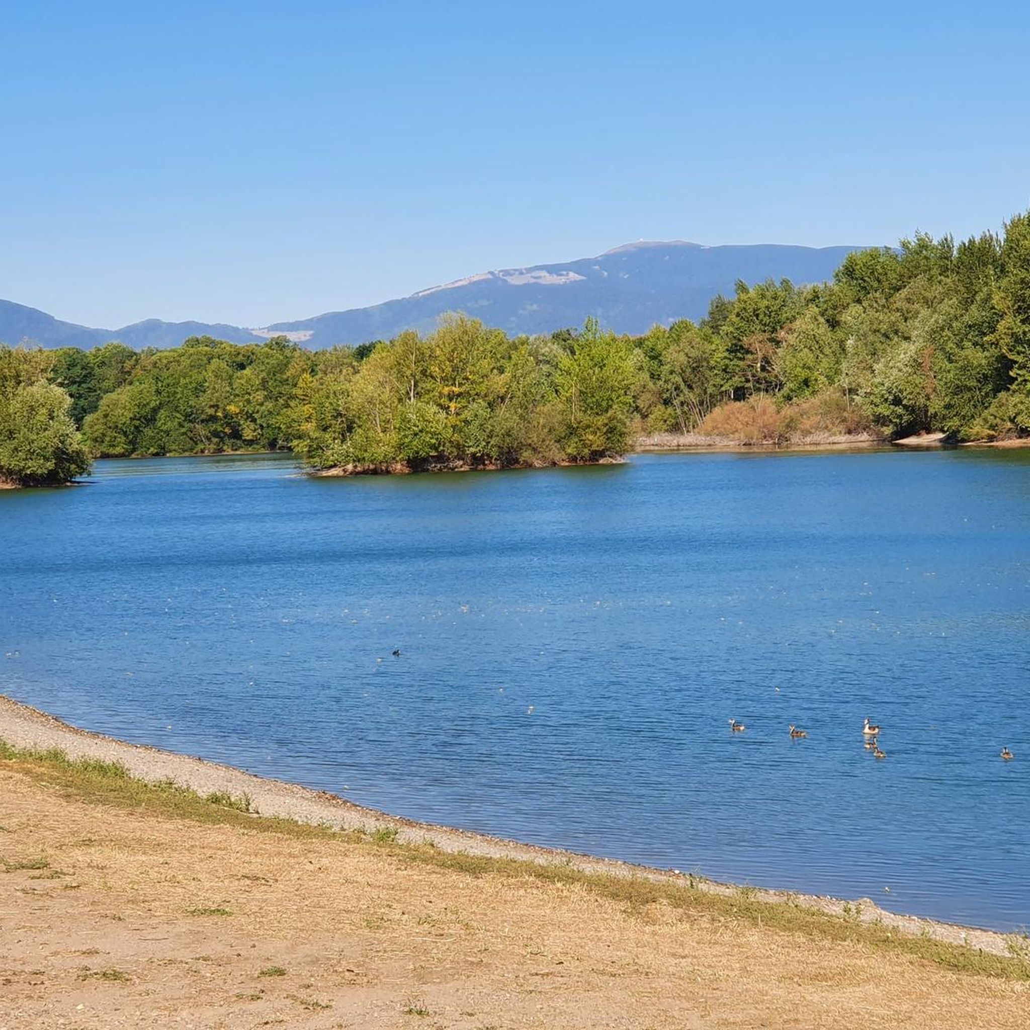
The Thur rises in the Vosges at the foot of the Ballon d'Alsace and flows for around 53 kilometers through Alsace. It crosses picturesque towns like Thann and Cernay before flowing into the Ill near Ensisheim. The river shapes the landscape, nature, and recreation equally.
0
0

The VV221 cycle route is part of the EuroVélo 5 network and begins in Ensisheim at the Thur bridge and ends in Cernay after about 17 km. The route initially runs alongside the road, then past ponds and finally through a wooded area. It runs alongside the Thur and passes the Alsatian Ecomuseum (another route leads to Ungersheim via the Petit Prince Park). The Green Route then winds along the Thur, passing Pulversheim, Staffelfelden, and Wittelsheim, and finally reaches Cernay, still along the Thur.
0
0
The VV221 cycle route is part of the EuroVélo 5 network and begins in Ensisheim at the Thur bridge and ends in Cernay after about 17 km. The route initially runs alongside the road, then past ponds and finally through a wooded area. It runs alongside the Thur and passes the Alsatian Ecomuseum (another route leads to Ungersheim via the Petit Prince Park). The Green Route then winds along the Thur, passing Pulversheim, Staffelfelden, and Wittelsheim, and finally reaches Cernay, still along the Thur.
0
0

April '25, now in poor condition, holes, potholes and many tree roots, unsafe.
0
0

A photogenic place, otherwise it's just a simple bridge.
1
0

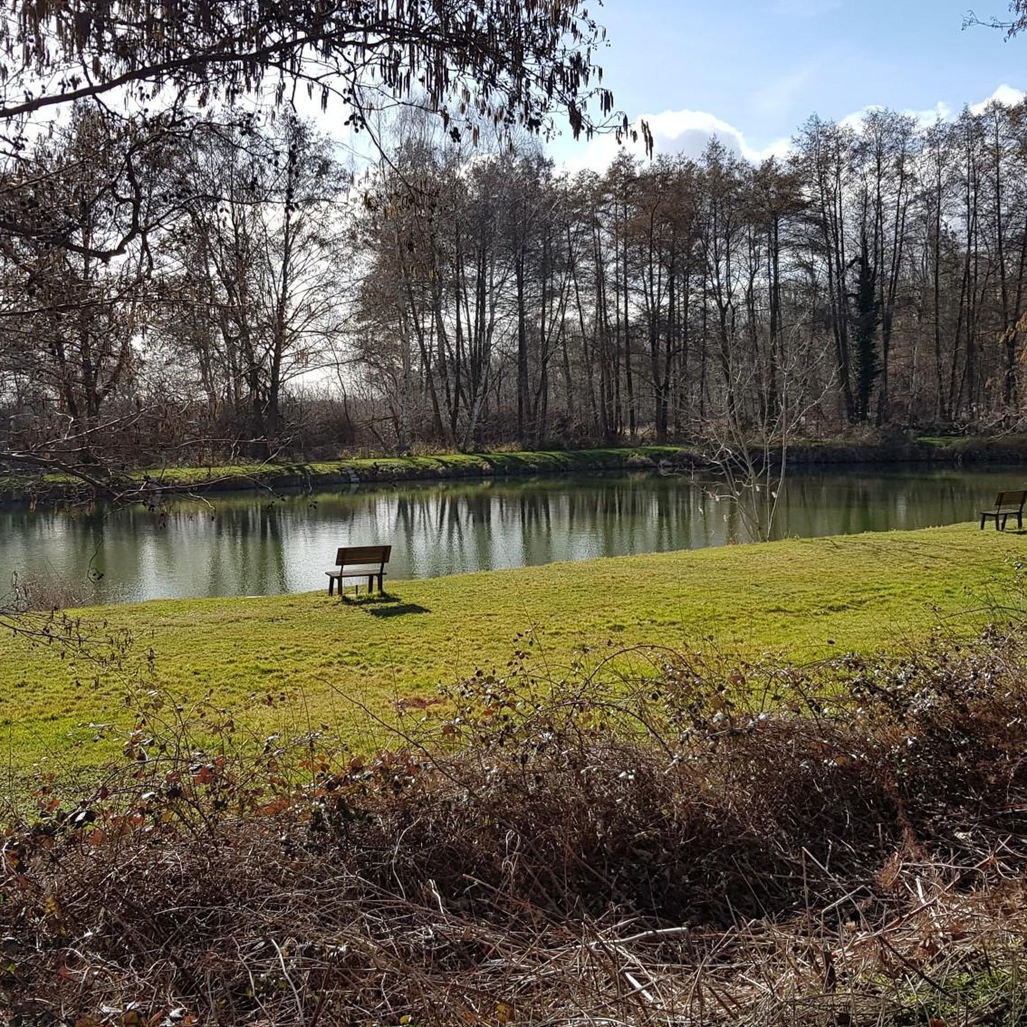
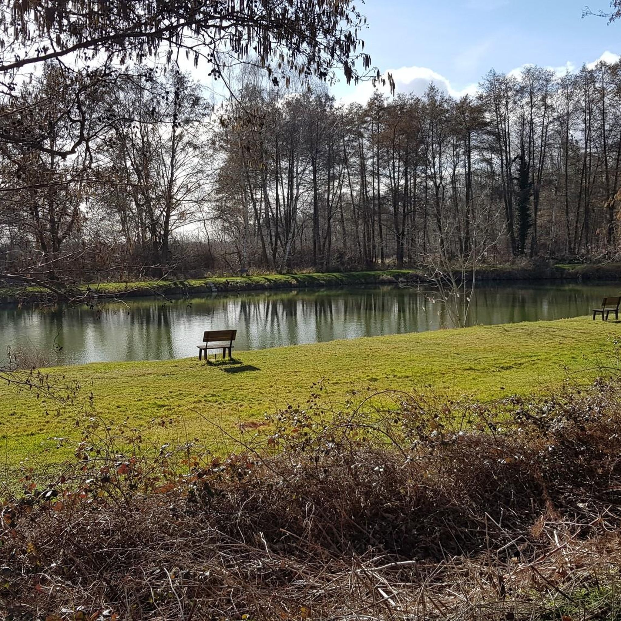
Shaded and cool route in summer. Remain vigilant while riding; the trail is damaged by roots in some places.
1
0

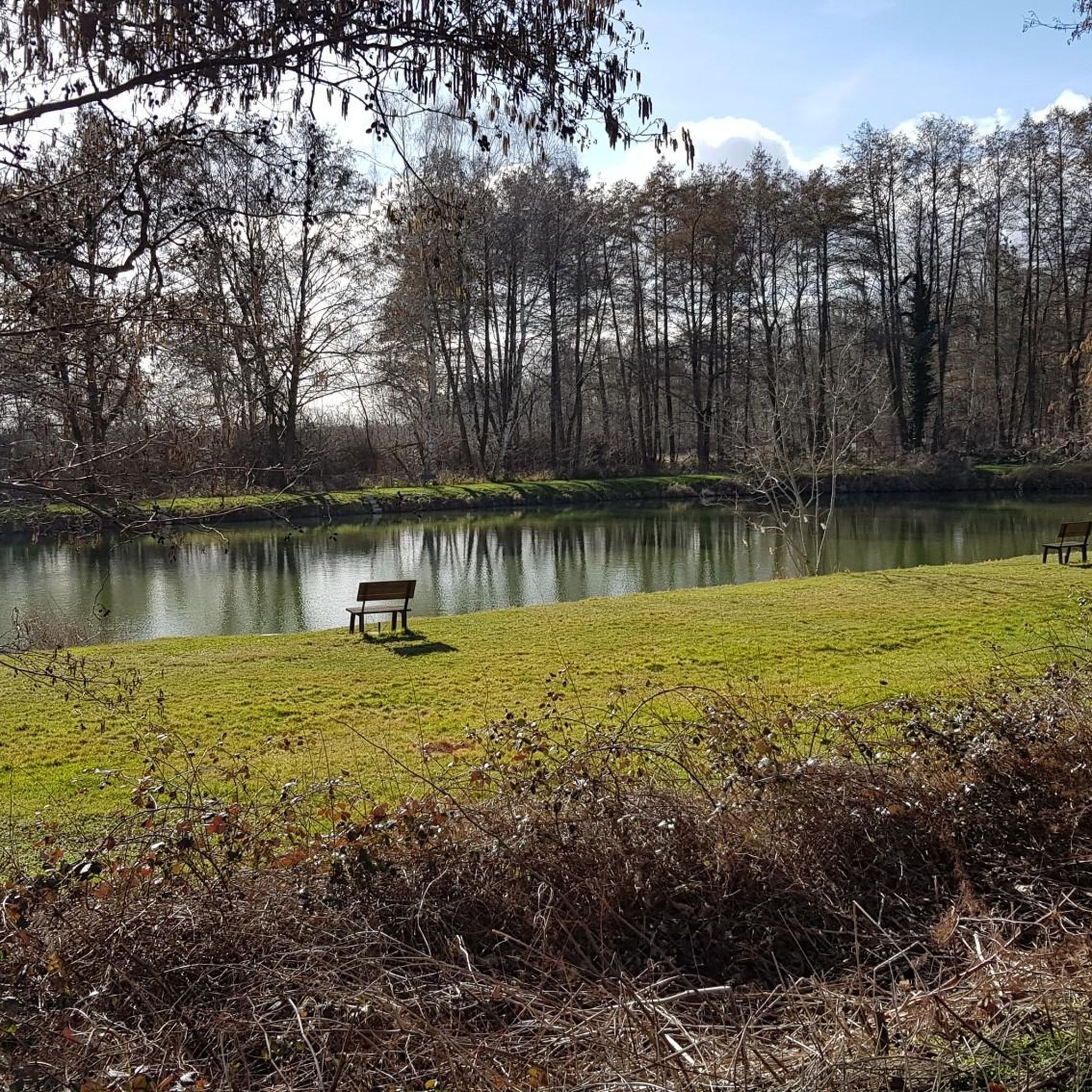
Gurgling and happily foaming, the Thur accompanies you along the cycle path
0
0

Frequently Asked Questions
How many road cycling routes are available around Pulversheim?
Pulversheim offers a wide selection of road cycling routes, with over 240 options available. These routes cater to various skill levels, including 79 easy routes, 133 moderate routes, and 36 more difficult challenges for experienced cyclists.
Are there road cycling routes suitable for families or beginners in Pulversheim?
Yes, Pulversheim has numerous easy road cycling routes perfect for families and beginners. Many paths follow the Thur River or wind through wooded areas, offering gentle terrain. For example, the Thur River Cycle Path – Cernay - Vieux-Thann loop from Staffelfelden is an easy 14.6-mile route that takes about an hour to complete.
What kind of terrain can I expect on road cycling routes near Pulversheim?
The region around Pulversheim offers diverse terrain. You'll find well-paved surfaces along riverside paths and through forests, such as the VV221 cycle route. However, some more challenging routes, particularly those with significant elevation gains, might include unpaved segments. The landscape varies from flat stretches along the Thur River to more undulating terrain and climbs in areas like the Vosges foothills.
Are there challenging road cycling routes for experienced cyclists in the Pulversheim area?
Absolutely. For experienced cyclists seeking a challenge, Pulversheim offers routes with significant elevation gains. A prime example is the Route des Crêtes – Amic Pass loop from Staffelfelden, a difficult 40.6-mile route featuring steady climbs and panoramic views, with over 1,200 meters of elevation gain.
Can I find scenic road cycling routes with viewpoints around Pulversheim?
Yes, the region boasts scenic routes with opportunities for stunning views. The Route des Crêtes – Amic Pass loop from Staffelfelden offers panoramic vistas. Additionally, you can find viewpoints like the Viewpoint at the summit of Vieil Armand, which can be incorporated into longer rides, providing memorable breaks.
Are there road cycling routes that follow rivers or canals in Pulversheim?
Many routes in the Pulversheim area embrace the local waterways. The Thur River is a central feature, with paths like the Thur River Cycle Path – Eglingen Lock loop from Staffelfelden offering scenic riverside stretches. The EuroVélo 5 network, which includes the VV221 cycle route, also features sections alongside the Thur River and the Rhone to Rhine Canal.
What are some interesting landmarks or attractions I can see along road cycling routes near Pulversheim?
Beyond the natural beauty, you can encounter historical and cultural sites. The Hartmannswillerkopf National Monument, a significant WWI memorial, is accessible. You might also pass by sites like the Adlerhorst Command Post – World War I or the Veilchenstein German WW1 Bunker, offering glimpses into the region's past.
Is parking available for road cyclists near the routes in Pulversheim?
While specific parking details for every route vary, many starting points for popular cycling routes around Pulversheim, especially those originating in towns like Staffelfelden or Ensisheim, offer public parking options. It's advisable to check local signage or use navigation apps for precise parking locations near your chosen starting point.
What is the best time of year for road cycling in Pulversheim?
The Alsace region, including Pulversheim, generally offers pleasant cycling conditions from spring through autumn. Spring brings blooming landscapes, while summer provides warm weather for longer rides. Autumn is particularly scenic with vibrant foliage. While some routes may be accessible in winter, conditions can be more challenging due to colder temperatures or potential ice.
Are there any loop road cycling trails around Pulversheim?
Yes, many road cycling routes in the Pulversheim area are designed as loops, making them convenient for starting and ending at the same point. Examples include the Beautiful blue metal bridge – Blue Bridge Cycle Path loop from Pulversheim and the Cycle Path with Blue Bridge – Col Schlierbach-Landser loop from Staffelfelden.
What do other road cyclists enjoy most about road cycling in Pulversheim?
The road cycling experience in Pulversheim is highly rated by the komoot community, with an average score of 4.5 stars from over 500 reviews. Cyclists often praise the diverse landscape, from quiet woodlands to scenic riverside paths, and the variety of routes catering to different fitness levels. The well-maintained surfaces and the opportunity to explore both natural beauty and historical sites are frequently highlighted.
Are there any specific cycling initiatives or themed routes in the region?
Yes, the region actively promotes cycling. The 'Cyclo Tour du Bassin Potassique' is an initiative that highlights cycling paths around the Bassin Potassique, offering circuits of varying lengths (15 km, 60 km, and 80 km) suitable for families and experienced cyclists. You can find more details on the Mulhouse Tourist Office website.
Most popular routes around Pulversheim
Most popular attractions around Pulversheim

Get inspired with the komoot mobile app


Explore more
Browse the best Road cycling routes in other regions.
