The best road cycling routes around Staffelfelden
4.4
(702)
19,795
riders
16
rides
Road cycling around Staffelfelden offers diverse terrain in the Haut-Rhin department of France, situated at the foot of the Vosges mountains. The region features a varied landscape including challenging mountain ascents, expansive plains, and scenic vineyard routes. Cyclists can navigate through shaded forests, along winding rivers, and across open fields, providing options for various skill levels.
Best road cycling routes around Staffelfelden
- The most popular road cycling route is Thur River Cycle Path – Eglingen Lock loop from Staffelfelden,…
Last updated: August 28, 2026
3.6
(5)
28
riders
23.5km
01:00
90m
90m
Easy road ride. Great for any fitness level. Mostly well-paved surfaces and easy to ride.
4.3
(3)
27
riders
29.9km
01:22
100m
100m
Easy road ride. Great for any fitness level. Mostly well-paved surfaces and easy to ride.

Sign up for free
2.0
(1)
17
riders
90.3km
03:57
720m
720m
Moderate road ride. Good fitness required. Some segments of this route may be unpaved and difficult to ride.
4.0
(1)
13
riders
108km
04:34
790m
790m
Moderate road ride. Good fitness required. Some segments of this route may be unpaved and difficult to ride.
3.0
(1)
10
riders
Moderate road ride. Good fitness required. Some segments of this route may be unpaved and difficult to ride.
Get access to more routes and recommendations from other explorers.
Sign up for free
Already have an account?
Our route recommendations are based on thousands of hikes, rides, and runs completed by other people on komoot.
Start today with a free account
Your next adventure awaits.
Login or Signup
Tips from the Community

Cyclists completely sheltered from cars. Bleak landscape.
0
0

Nice to ride. More info here: https://www.quaeldich.de/paesse/trois-epis/
0
0


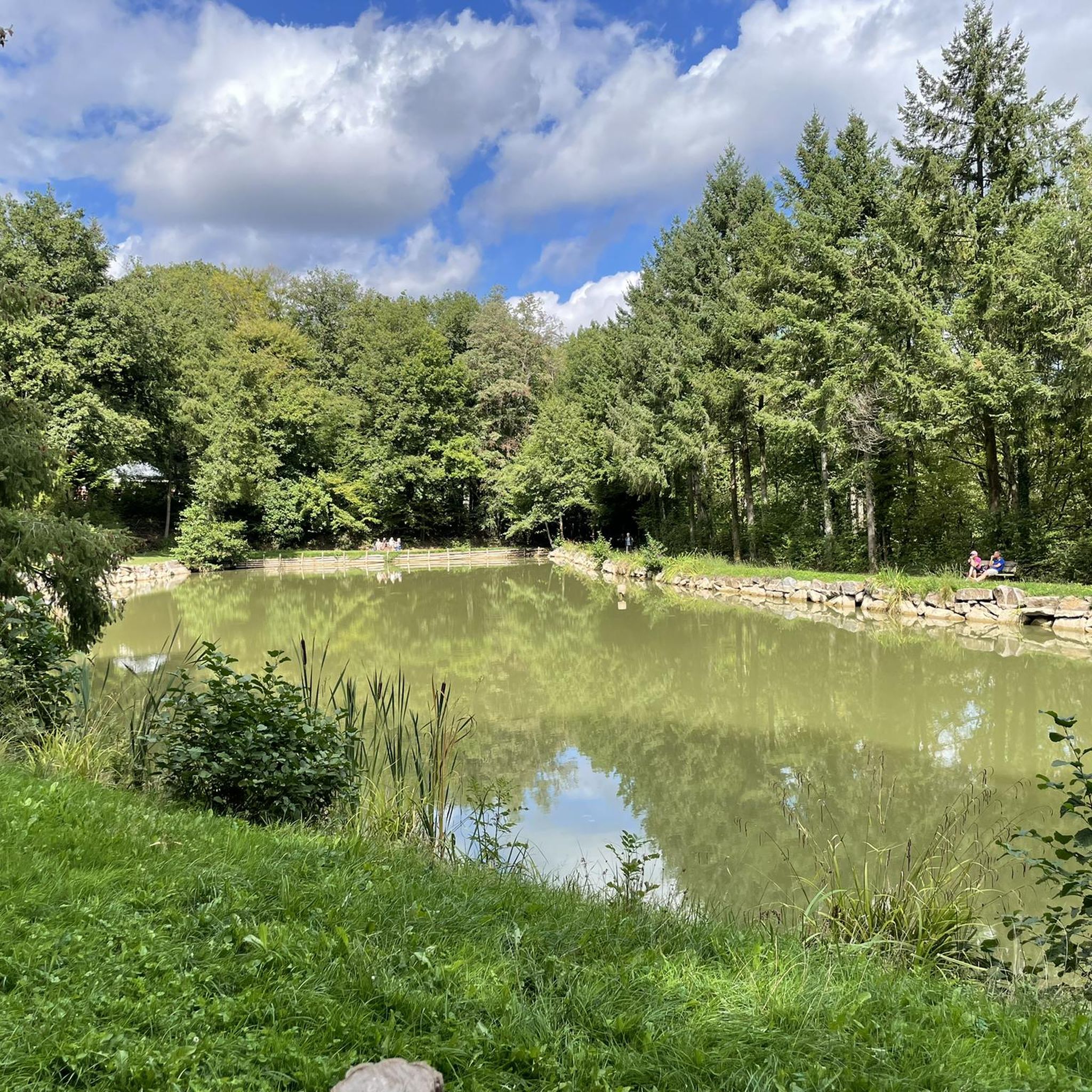
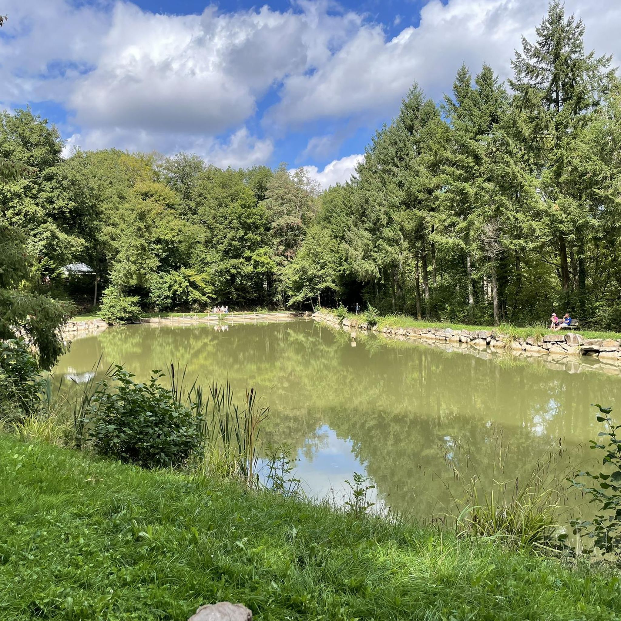
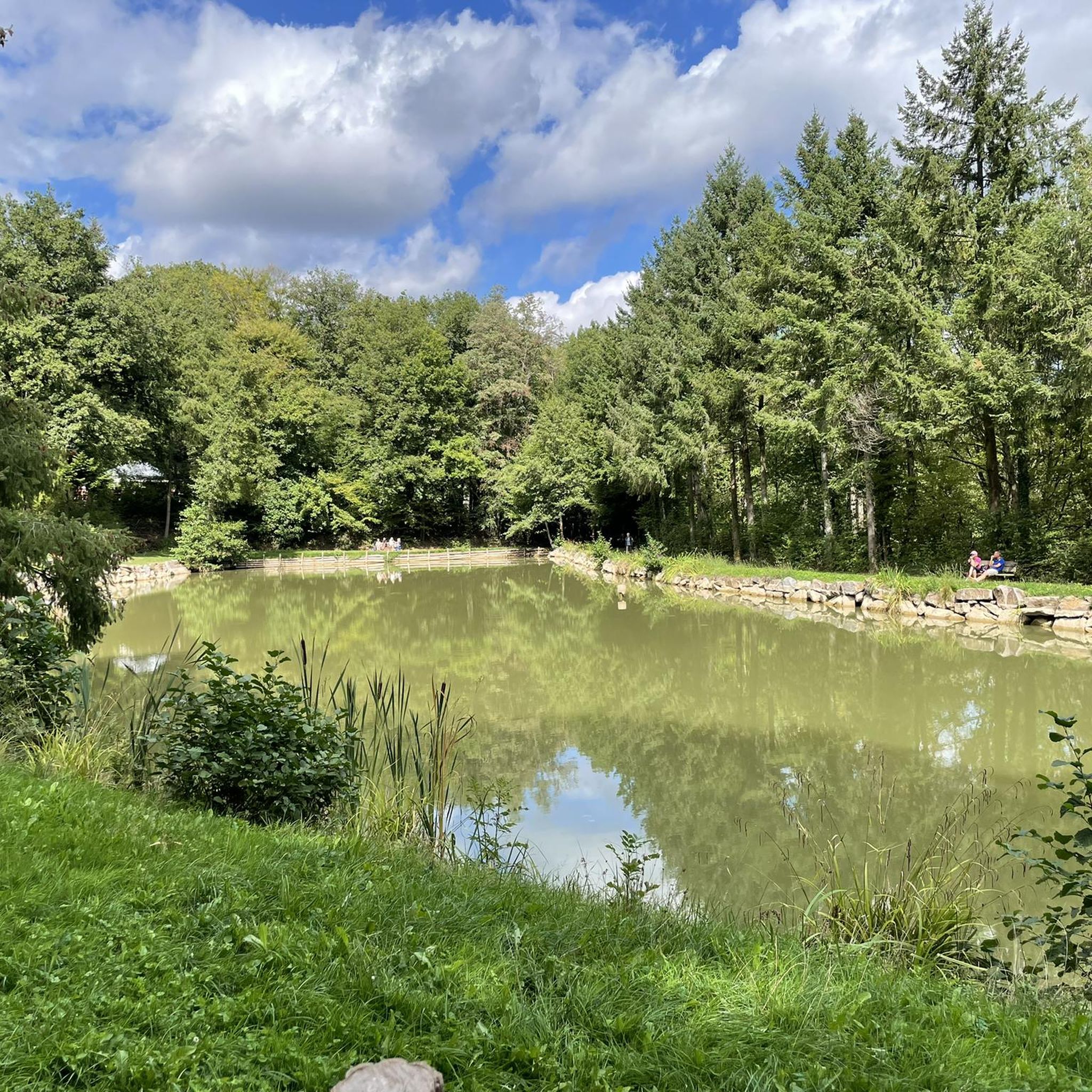
The VV221 cycle route is part of the EuroVélo 5 network and begins in Ensisheim at the Thur bridge and ends in Cernay after about 17 km. The route initially runs alongside the road, then past ponds and finally through a wooded area. It runs alongside the Thur and passes the Alsatian Ecomuseum (another route leads to Ungersheim via the Petit Prince Park). The Green Route then winds along the Thur, passing Pulversheim, Staffelfelden, and Wittelsheim, and finally reaches Cernay, still along the Thur.
0
0

Beautiful old town tucked away. The decorative spire twinkling in the sunlight made us detour to take a look. So glad we did! Stunning town with numerous patisseries & cafes and plenty of places to sit in the sunshine & watch the world go by. Highly recommended 👌
1
0


April '25, now in poor condition, holes, potholes and many tree roots, unsafe.
0
0
Turckheim is a very old town, likely dating back to Roman times. The old town is very beautiful and tourist-oriented. In addition to tourism, wine production also plays an important economic role.
1
0
Frequently Asked Questions
What kind of terrain can I expect when road cycling around Staffelfelden?
The region around Staffelfelden offers a diverse landscape for road cyclists. You'll find challenging ascents in the nearby Vosges Mountains, serene routes through the Alsace Plain with its expansive fields and winding waterways, and picturesque paths winding through the Alsace Vineyards. This variety ensures options for different skill levels and preferences.
How many road cycling routes are available in the Staffelfelden area?
There are over 20 road cycling routes around Staffelfelden, catering to various difficulty levels. This includes 5 easy routes, 15 moderate routes, and 2 difficult routes, offering plenty of options for exploration.
Are there any challenging mountain climbs for experienced road cyclists?
Yes, Staffelfelden's proximity to the Vosges Mountains provides excellent opportunities for challenging climbs. A notable route is the Route des Crêtes – Amic Pass loop from Staffelfelden, which is classified as difficult and features significant elevation gain through the mountains. The ascent from Soultz to Col du Grand Ballon, particularly via Col Amic, is a popular and scenic option.
What are some good options for moderate-difficulty road cycling routes?
For moderate-difficulty rides, you could explore the Thur River Cycle Path – Eglingen Lock loop from Staffelfelden, which follows the Thur River through varied landscapes. Another excellent choice is the Cycle Path with Blue Bridge – Col Schlierbach-Landser loop from Staffelfelden, offering a longer ride with moderate elevation.
Can I find family-friendly road cycling routes around Staffelfelden?
While specific 'family-friendly' routes are not explicitly categorized, the easy-rated routes, such as the Thur River Cycle Path – Cernay - Vieux-Thann loop from Staffelfelden, which is shorter and has less elevation gain, would be suitable for families or those seeking a more relaxed ride along river valleys and through local towns.
What natural features or landmarks can I see along the road cycling routes?
Road cycling routes around Staffelfelden offer views of the Vosges Mountains, the expansive Alsace Plain, and the picturesque Alsace Vineyards. You can also encounter historical sites like the Adlerhorst Command Post – World War I or the Veilchenstein German WW1 Bunker. For panoramic views, consider routes that pass near the Hartmannswillerkopf National Monument.
Are there any circular road cycling routes available?
Yes, many of the routes around Staffelfelden are designed as loops, allowing you to start and end in the same location. Examples include the Route des Crêtes – Amic Pass loop and the Thur River Cycle Path – Eglingen Lock loop, both starting from Staffelfelden.
What do other road cyclists enjoy most about the routes in Staffelfelden?
The road cycling routes in Staffelfelden are highly rated by the komoot community, with an average score of 4.5 stars from over 200 reviews. Cyclists often praise the diverse terrain, from challenging mountain ascents to scenic vineyard paths, and the well-maintained routes that cater to various abilities.
What is the best time of year for road cycling in Staffelfelden?
The region is generally pleasant for road cycling from spring through autumn. During these seasons, you can enjoy the lush vineyards, green forests, and comfortable temperatures. While winter cycling is possible, conditions can be challenging, especially in the higher elevations of the Vosges Mountains.
Are there any specific viewpoints or scenic spots accessible by road bike?
Absolutely. The Vosges Mountains offer numerous scenic viewpoints. The ascent to Col du Grand Ballon, particularly via Col Amic, provides stunning vistas. Additionally, the Hartmannswillerkopf National Monument offers unique views overlooking the plain of Alsace, making it a rewarding destination for cyclists.
Are there any longer road cycling routes for endurance training?
For longer rides, consider the Stetten – Sundgau Plateau Countryside loop from Staffelfelden, which covers over 100 kilometers and includes significant elevation gain, making it ideal for endurance training and exploring the wider regional landscape.
Most popular routes around Staffelfelden
Most popular attractions around Staffelfelden

Get inspired with the komoot mobile app


Explore more
Browse the best Road cycling routes in other regions.
