The best running trails around Berrwiller
4.4
(289)
11,249
runners
548
runs
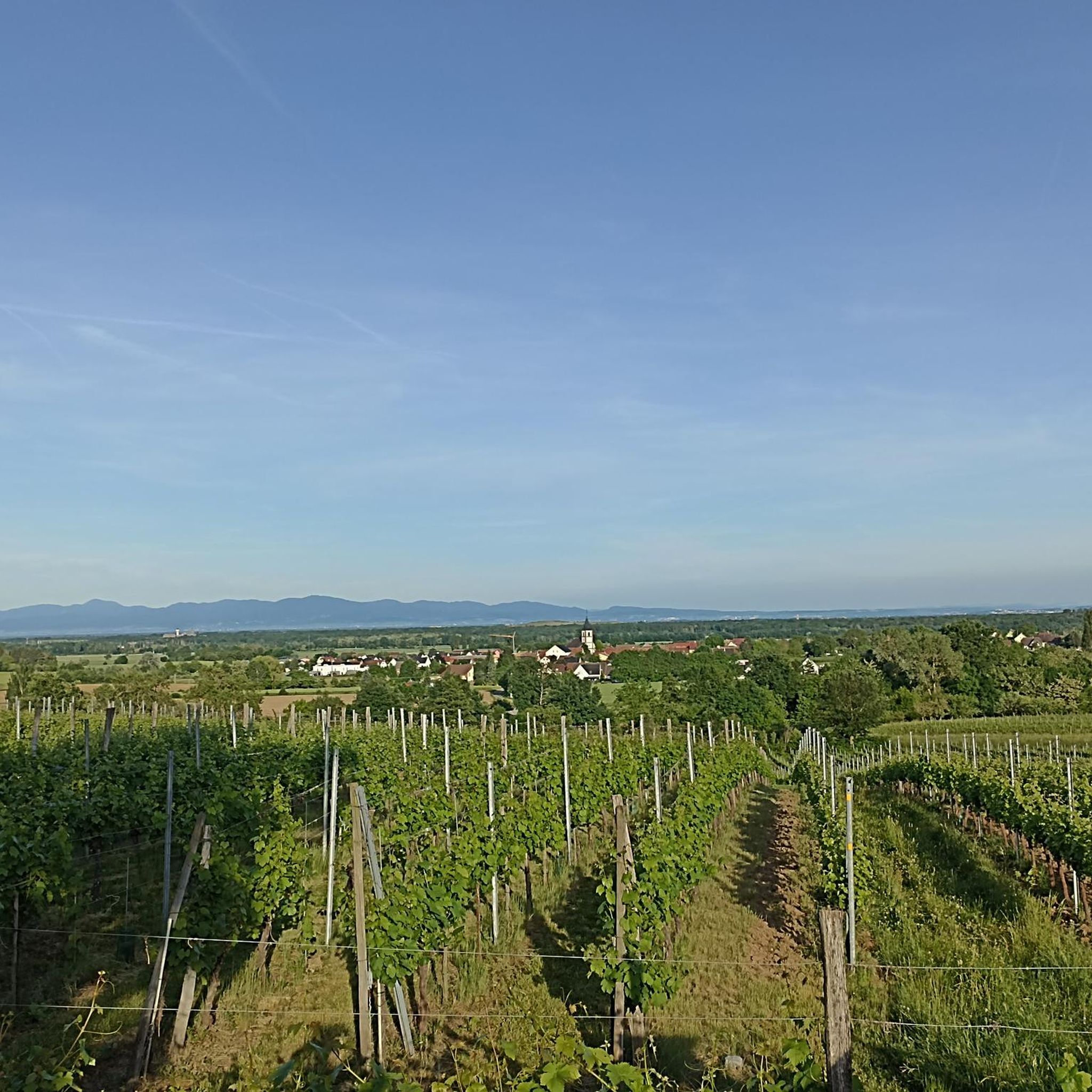
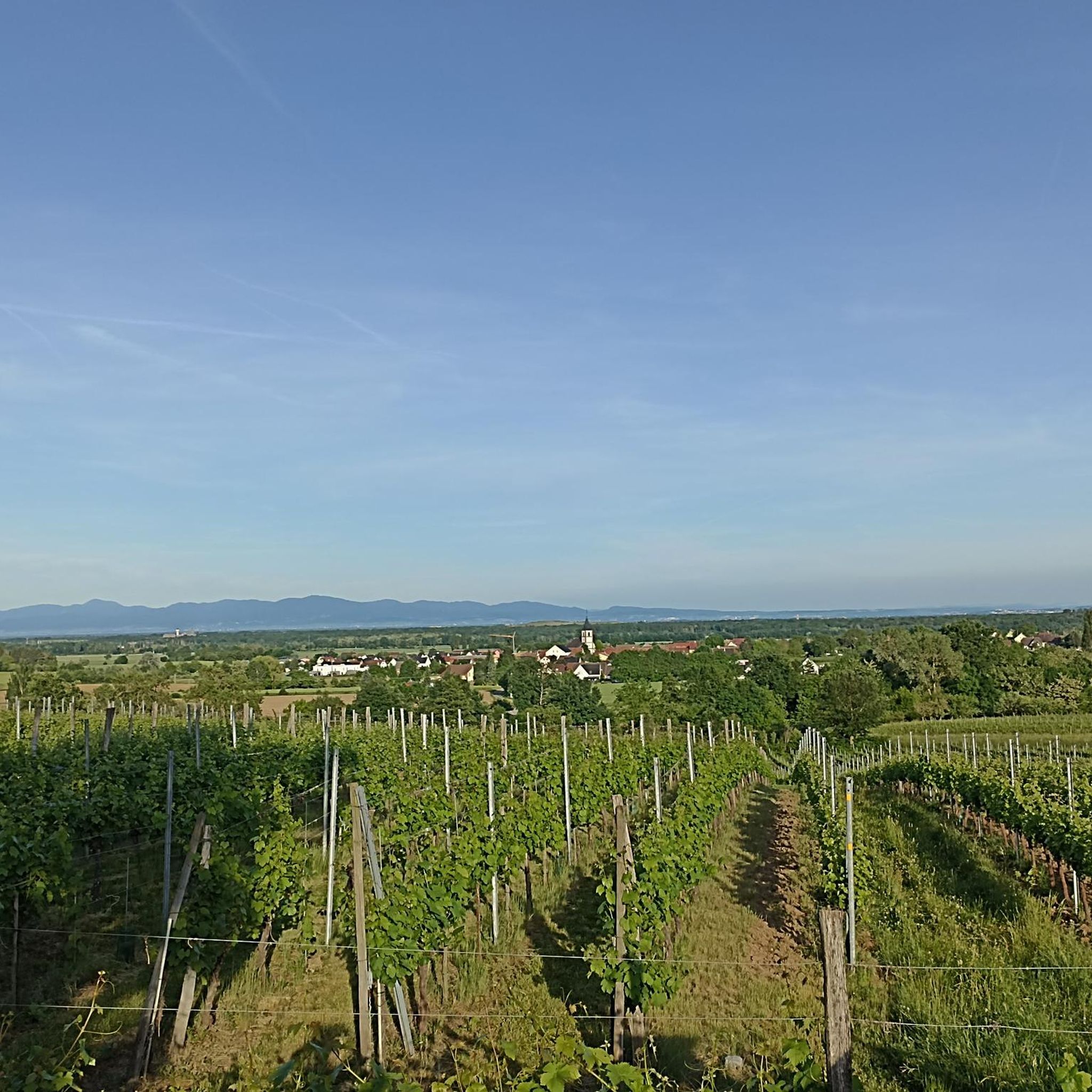
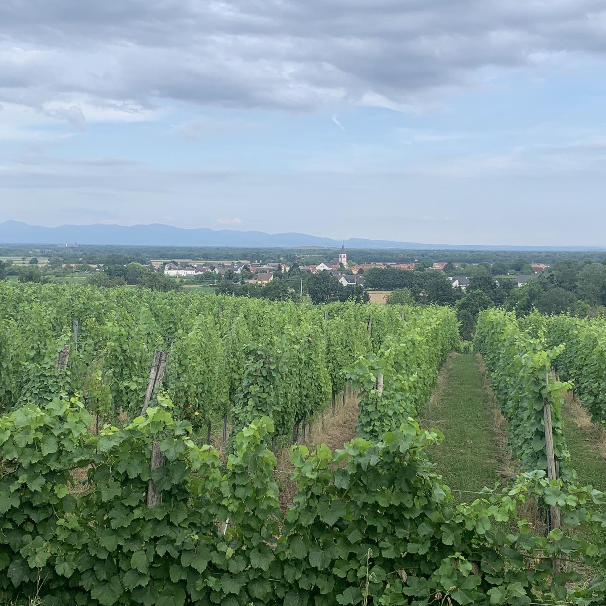
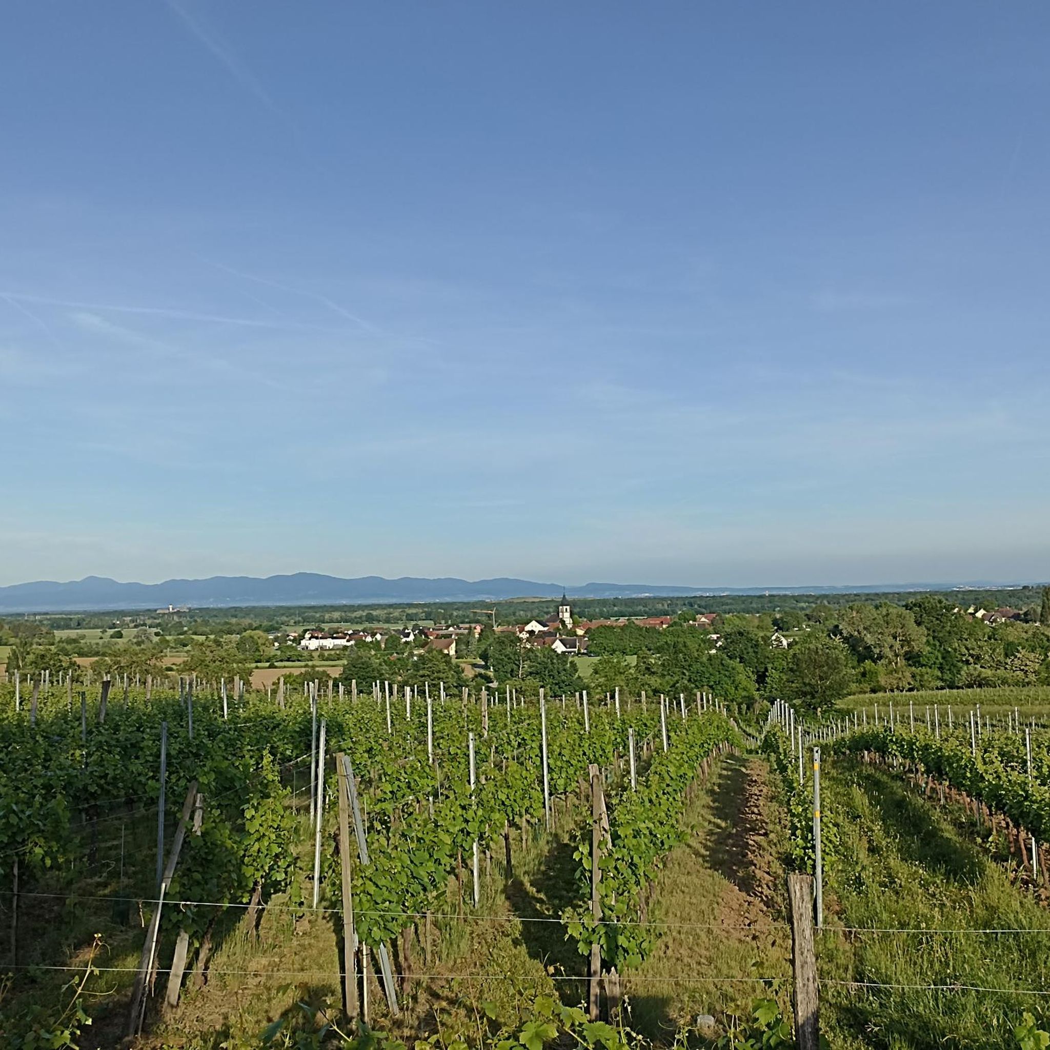
Jogging around Berrwiller offers diverse terrain at the foot of the Vosges mountains. The region features extensive forests, rolling vineyards, and paths along the Thur River. Elevation changes vary from gentle slopes in the valleys to more challenging climbs in the foothills, providing varied running experiences. The landscape combines natural features with historical elements, making it suitable for different preferences.
Best jogging routes around Berrwiller
- The most popular jogging route is La Suisse Lippique – View of the Countryside loop from Berrwiller, a 11.4 miles (18.4 km) trail that takes 2 hours 22 minutes to complete. This difficult route features significant elevation gain and expansive views.
- Another top favourite among local runners is View of the Countryside – La Suisse Lippique loop from Haut-Rhin, a difficult 7.6 miles (12.3 km) path. This route offers panoramic views of the surrounding landscape.
- Local runners also love the Zeller Canteen – Shelters for German troops loop from Haut-Rhin, a 7.8 miles (12.5 km) trail leading through historical sites and forested areas, often completed in about 1 hour 32 minutes.
- Jogging around Berrwiller is defined by Vosges foothills, extensive forests, and picturesque vineyards. The network offers options for different ability levels, from easy riverside paths to challenging mountain trails.
- The routes in Berrwiller are highly rated by the komoot community with an average score of 4.4 stars from over 170 reviews. More than 8,700 runners have used komoot to explore Berrwiller's varied terrain.
Last updated: October 15, 2026
5.0
(1)
44
runners
18.4km
02:22
650m
650m
Hard run. Very good fitness required. Sure-footedness, sturdy shoes and alpine experience required.
29
runners
12.2km
01:43
630m
630m
Hard run. Very good fitness required. Sure-footedness, sturdy shoes and alpine experience required.

11
runners
20.6km
02:26
570m
570m
Hard run. Very good fitness required. Mostly paved surfaces. Suitable for all skill levels.
9
runners
10.00km
01:02
70m
70m
Moderate run. Good fitness required. Mostly paved surfaces. Suitable for all skill levels.
7
runners
25.3km
03:20
1,080m
1,080m
Hard run. Very good fitness required. Sure-footedness, sturdy shoes and alpine experience required.
Get access to more routes and recommendations from other explorers.
Already have an account?
Our route recommendations are based on thousands of hikes, rides, and runs completed by other people on komoot.
Start today with a free account
Your next adventure awaits.

Tips from the Community

Vieil Armand, also known as Hartmannswillerkopf, is a striking mountain peak in the southern Vosges, near the Col Amic. This place is not only popular with cyclists because of the challenging climb and the panoramic view of the Rhine plain, but also an important historical monument. During the First World War, fierce fighting took place here between French and German troops, resulting in a static trench warfare. Today, the area is a national memorial with a crypt, military cemetery and well-preserved trenches. The climb to Vieil Armand via the Col Amic is not only sportingly rewarding, but also impressive because of the historical significance of the landscape.
6
0
The climb of the Col Amic from Soultz-Haut-Rhin is a beautiful and accessible climb in the Vosges, ideal for cyclists who love regularity and nature. The climb is 12.1 km long, bridges 559 meters of altitude and has an average gradient of 4.6%. The route winds through a quiet, wooded area and offers beautiful views of the Alsatian plain along the way. The summit is at 829 meters and forms a junction towards the Grand Ballon or the Hartmannswillerkopf massif. Thanks to its even profile, this climb is suitable for both recreational cyclists and athletic climbers.
8
0

A must-see place in the truest sense of the word, a whole page of French history lies before your eyes and reminds everyone that those who fought and died here did so for all of us...
0
0

Just the view when you're up there.
3
0

The highest elevation on the Hartmannsweilerkopf, unfortunately also one of the most tragic places on this battlefield. Around the cross there are many trenches, fortresses and fortifications which can also be visited. These tell the sad story of this otherwise beautiful place.
3
0
Beautiful viewpoint that almost makes you forget the tragic history of this place.
2
0

Historical place in the Vosges that was hotly contested during the First World War
6
0
Another contemporary testimony from the First World War
2
1
Frequently Asked Questions
How many running routes are available around Berrwiller?
Berrwiller offers a wide selection of running routes, with over 490 trails available. These range from easy paths to moderate and difficult challenges, catering to all fitness levels.
What kind of terrain can I expect on the running trails near Berrwiller?
The terrain around Berrwiller is incredibly diverse. You'll find routes winding through dense forests, picturesque vineyards, and along the Thur River. The region's proximity to the Vosges mountains means you can choose between gentle, flat paths and more challenging trails with significant elevation changes, offering varied experiences for every runner.
Are there easy running routes suitable for beginners in Berrwiller?
Yes, Berrwiller has over 30 easy running routes perfect for beginners or those looking for a relaxed jog. Many of these follow flat river paths, such as those near the Biotope de la Thur, providing a serene and accessible running experience.
What about more challenging running trails for experienced runners?
For experienced runners seeking a challenge, Berrwiller offers over 160 difficult routes. These often venture into the Vosges foothills, providing significant elevation gain and rewarding panoramic views. An example is the challenging Zeller Canteen – Col Amic Pass loop from Haut-Rhin, which covers over 25 km with substantial climbing.
What scenic views or landmarks can I expect to see while running in Berrwiller?
Many running routes offer superb viewpoints of the Vosges mountains, the Rhine Valley, and the plains of Alsace. You might also encounter historical sites, particularly WWI vestiges and beautiful oratories, adding a unique dimension to your run. Notable points of interest include the Grand Ballon Chalet Hotel and the Wolf Pit Pass (Wolfsgrube).
Are there any running routes that pass through vineyards?
Absolutely! Berrwiller is situated near the Alsace Wine Route, and several running paths wind through the region's beautiful vineyards. These routes often feature gentle slopes and open views, allowing you to enjoy the agricultural heritage of the area. The 'Sur les hauteurs de Berrwiller' circuit, for example, combines forest sections with vineyard views.
Can I find running trails that are shaded, especially during warmer months?
Yes, the region boasts dense and extensive forests, providing plenty of shaded paths ideal for running, particularly when the weather is warm. Routes like the 'Découverte des Bois de Wattwiller' offer immersive forest experiences, sometimes leading to natural features like the Siehlbaechle waterfall.
What do other runners enjoy most about jogging in Berrwiller?
The running routes around Berrwiller are highly rated by the komoot community, with an average score of 4.4 stars from over 170 reviews. Runners often praise the diverse landscape, which combines challenging mountain trails with serene forest and vineyard paths, as well as the well-maintained and scenic routes.
Are there any running routes with historical significance?
Yes, some routes incorporate historical elements, particularly from World War I. Trails near the Hartmannswillerkopf (Vieil Armand) battlefields offer glimpses of trenches and monuments. The Zeller Canteen – Shelters for German troops loop from Haut-Rhin is a notable example, leading through historical sites and forested areas.
Are there any circular running routes available?
Many of the running routes around Berrwiller are designed as loops, offering convenient circular options. For instance, the popular La Suisse Lippique – View of the Countryside loop from Berrwiller is a challenging 18.4 km circular trail with significant elevation gain and expansive views.
What is the best time of year for running in Berrwiller?
Berrwiller offers enjoyable running conditions throughout much of the year. Spring and autumn provide pleasant temperatures and beautiful scenery with blooming flowers or vibrant fall foliage. Summer is also suitable, especially on shaded forest trails. Winter running is possible, though some higher elevation paths might require more caution due to snow or ice.
Most popular routes around Berrwiller
Most popular attractions around Berrwiller

Get inspired with the komoot mobile app


Explore more
Browse the best Running Trails & Routes in other regions.
