Top 7 Mountain Passes around Saint-Vincent-La-Commanderie
Mountain passes near Saint-Vincent-La-Commanderie are situated in the Drôme department, at the foot of the Monts du Matin, which form the initial ridges of the Vercors massif. This area is part of the Vercors Regional Natural Park, offering a natural landscape for outdoor activities. The village serves as a base for exploring various mountain passes and summits that provide views of the surrounding region.
Best mountain passes around Saint-Vincent-La-Commanderie
- The most popular mountain passes is Jérôme Cavalli Pass, 842 m…
Last updated: June 26, 2026
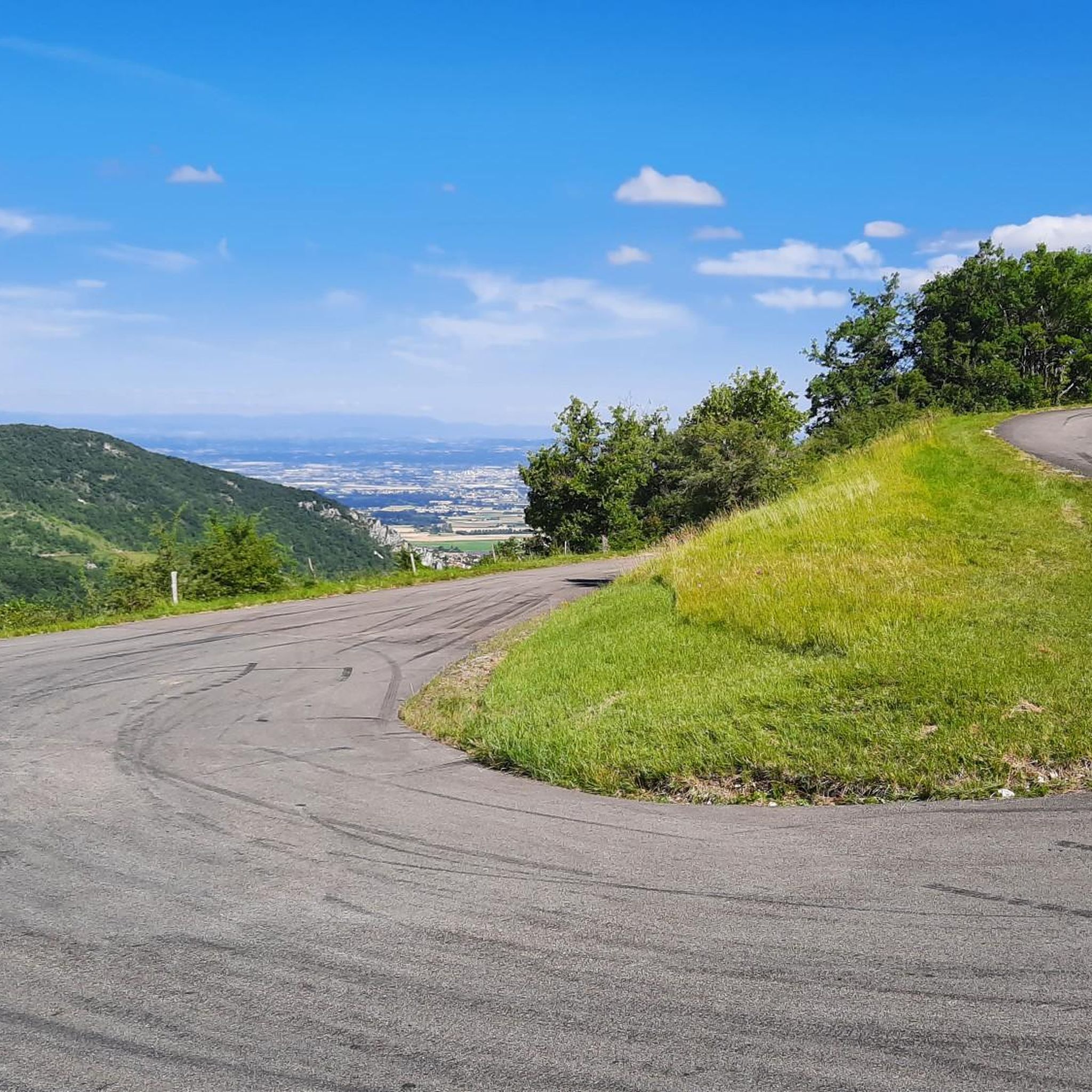
Jérôme Cavalli Pass, 842 m
Highlight • Mountain Pass
A nice warm-up before the future steeper passes!
Translated by Google •
Tip by

Col de Bacchus
Highlight • Mountain Pass
Translated by Google •
Tip by

Sign up now to discover places like this
Get recommendations on the best single tracks, peaks, & plenty of other exciting outdoor places.
Sign up for free
Col de la Bataille
Highlight • Mountain Pass
Translated by Google •
Tip by

Col de Jérôme Cavalli
Highlight (Segment) • Mountain Pass
Translated by Google •
Tip by

Col des Limouches
Highlight • Mountain Pass
Translated by Google •
Tip by

Sign up for free to discover even more mountain passes around Saint-Vincent-La-Commanderie.
Sign up for free
Already have an account?
Start today with a free account
Your next adventure awaits.
Login or Signup
Popular around Saint-Vincent-La-Commanderie

Tips from the Community

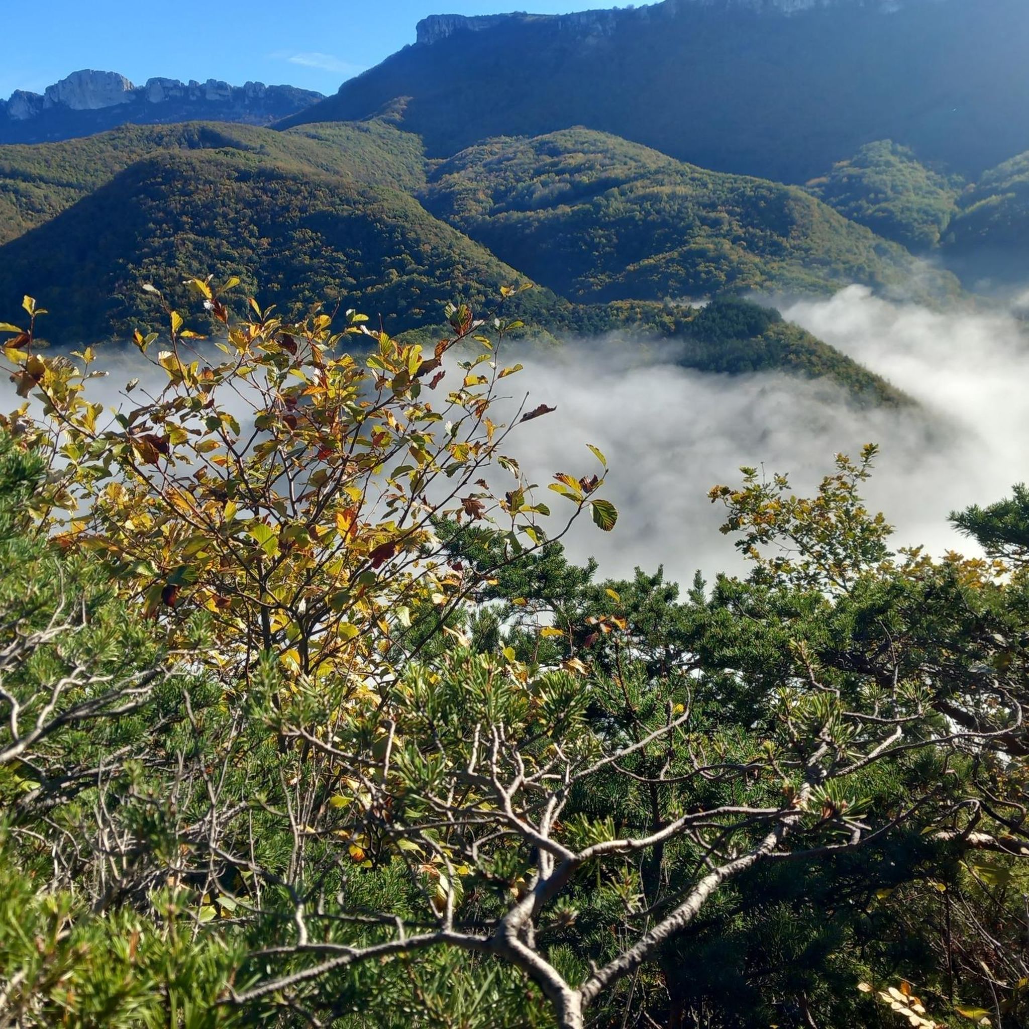
Gentle climb. Wine in the bottle for the Bacchus Pass!
0
0

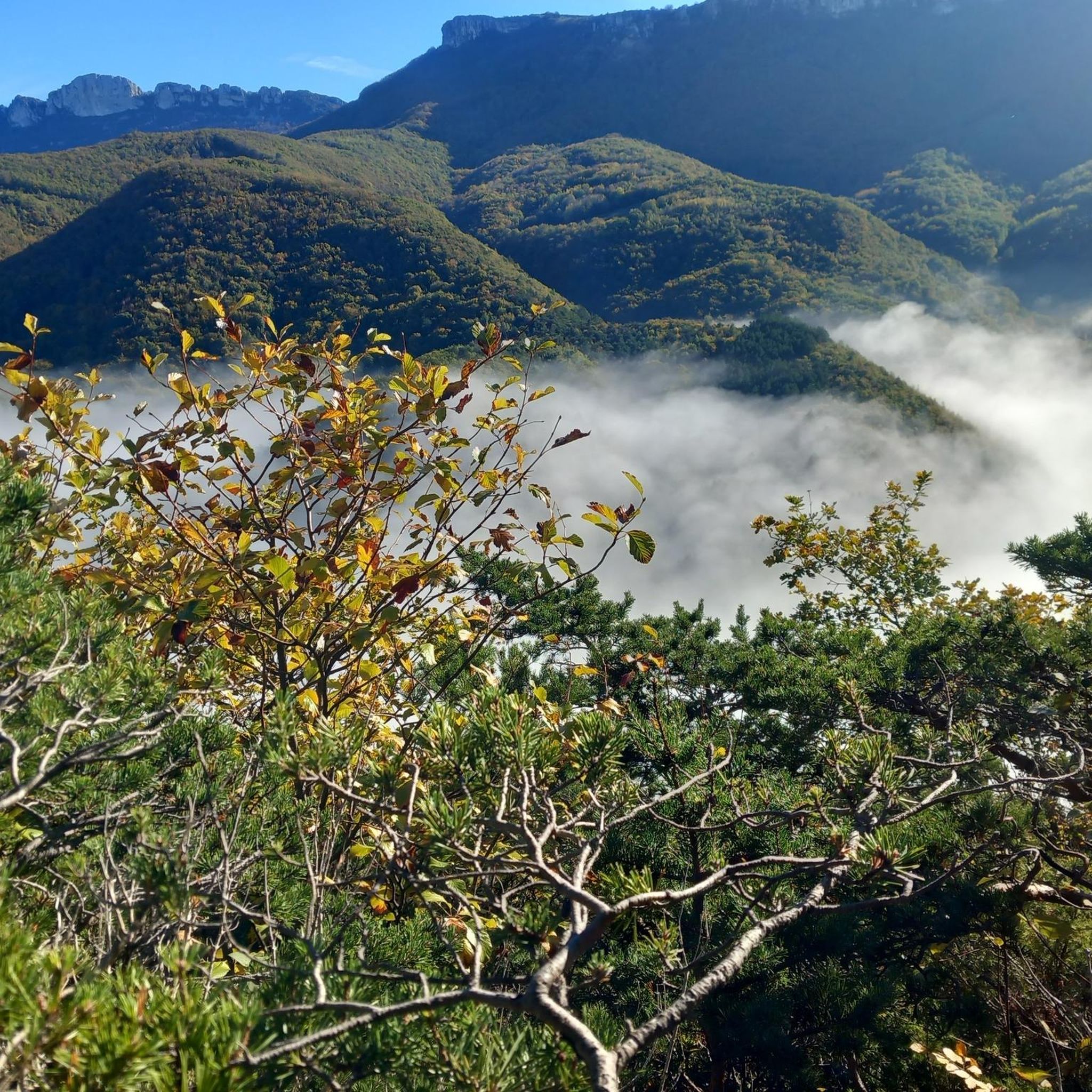
This mountain pass is named after one of the great aviation pioneers of France. There are several ways to reach this pass, but whichever you choose, you will always have a beautiful view from this place.
0
0
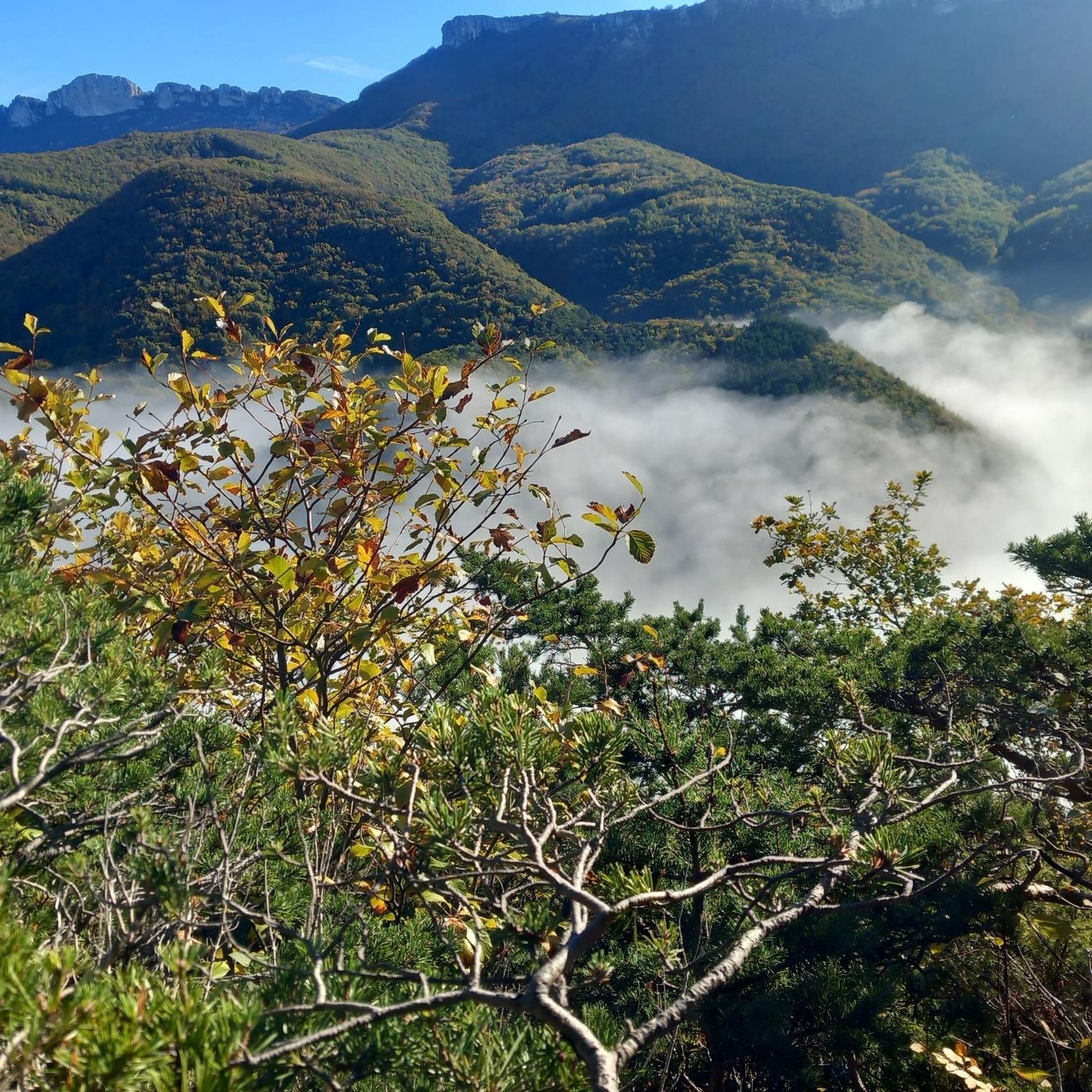
This pass can be reached in no less than 5 ways. For touring cyclists, the route via Beaufort-sur-Gervanne is recommended, because it is the most constant and gradual.
0
0

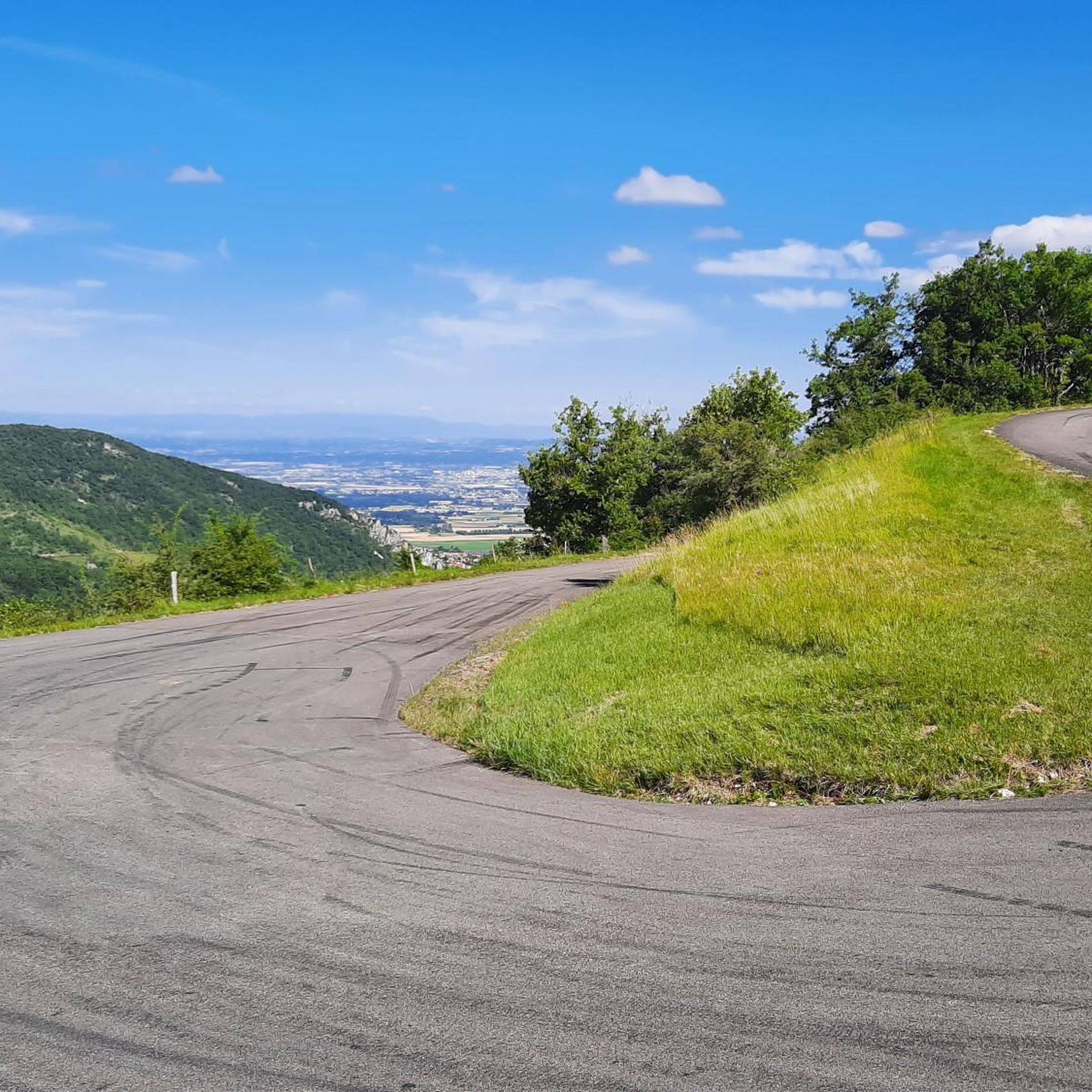
The climb on the other side is no less strenuous, but it's nice to have made it.
0
0

Cafe / Resto at the bottom. Nothing at the top. The road has just been resurfaced so the descent is great. Be careful though, especially in the wet as water drains across the surface in places, typically on or just before the corners. Plenty of coffee and cake in Chabeuil. If you wanted to add a bit more you could descend to Beaufort-sur-Gervanne, which is a good option if the boulangerie is open, or loop across the top from Cavalli to Col des Limouches. It's over 1000 meters altitude and the descent is more technical. Some shaded picnic tables too.
0
1

Col de la Bataille is a climb in the Drôme region. It has a length of 12.8 kilometers and a climb of 381 vertical meters with a slope of 3% on average, which implies a difficulty level of 253. The top of the climb is located at 1,302 meters above sea level.
1
0

The Col de Jérôme Cavalli from Bourdeaux is 9.91km long with a total drop of 486m. The average gradient is 4.9% with maximum gradients of 6%.
1
0
Frequently Asked Questions
What are some of the most scenic mountain passes in the Saint-Vincent-La-Commanderie area?
The region offers several passes with impressive views. The Jérôme Cavalli Pass, 842 m, provides beautiful panoramas. The Col de Bacchus offers superb and spectacular views, especially on the descent towards St Jean de Royans. Additionally, the Pas de la Pierre and Pas du Touet, while not major vehicular passes, are known for excellent views of the Rhône Valley, Ardèche, and the Vercors massif.
Are there any historically significant mountain passes or sites in the region?
Yes, the Jérôme Cavalli Pass, 842 m, is named after one of France's aviation pioneers. The Pas de Saint-Vincent is also historically significant, having served as an access point guarded by a castle and chapel before the 12th century.
What kind of cycling routes can I find near these mountain passes?
The area is excellent for cycling. You can find various routes, including the 'Col de Limouches Loop' for road cycling, or the 'Tourniol Pass – Tourniols Pass loop' for touring bicycles. Explore more options on the Road Cycling Routes around Saint-Vincent-La-Commanderie and Cycling around Saint-Vincent-La-Commanderie guide pages.
Are there hiking opportunities around the mountain passes?
Absolutely. The region is well-regarded for hiking. The Pas de Saint-Vincent and Pas du Touet are featured in hiking circuits, offering varied terrain and views. For running, you can find routes like the 'Saint Vincent Pass loop'. More running trails are available on the Running Trails around Saint-Vincent-La-Commanderie guide page.
What is the difficulty level of the mountain passes in this area?
The mountain passes vary in difficulty. The Col des Limouches is known for its gentle and constant climb, especially via Beaufort-sur-Gervanne. The Col de la Bataille is considered an intermediate pass with an average slope of 3%. The Jérôme Cavalli Pass, 842 m, has slopes up to 6% over its 9-kilometer length.
What is the best time of year to visit the mountain passes around Saint-Vincent-La-Commanderie?
The region experiences a mountain or mountain-edge climate, making spring through autumn generally ideal for outdoor activities like hiking and cycling. These seasons offer pleasant temperatures and clear views. Winter can bring snow, which may affect accessibility to some passes.
Are there any easy or family-friendly mountain passes to explore?
While specific passes aren't explicitly labeled 'family-friendly,' the Tête de la Dame Summit, though not a pass, is noted for its relatively low elevation gain, making it accessible to hikers of all levels. The gentle climb of the Col des Limouches also suggests it could be suitable for those seeking a less strenuous experience.
What kind of natural landscapes can I expect to see?
You'll encounter stunning natural backdrops within the Vercors Regional Natural Park. Expect panoramic views of the Diois, the Vercors massif, and the Drôme valley. The Musan Summit ridge path offers magnificent views, and the area is characterized by mountainous terrain and lush landscapes.
What do visitors enjoy most about the mountain passes in this area?
Visitors frequently appreciate the beautiful views and the variety of terrain for cycling and hiking. The gradual climbs and spectacular descents, such as those found at Col de Bacchus, are often highlighted. The area's natural beauty and the sense of accomplishment after reaching a pass are also popular aspects.
Can I find information about parking or public transport to reach the passes?
While specific parking details for each pass are not provided, Saint-Vincent-La-Commanderie serves as a base for exploring the passes. For detailed information on public transport or parking, it is advisable to check local tourism resources or the official website for Saint-Vincent-La-Commanderie, such as valence-romans-tourisme.com.
Are there any less crowded alternatives to the main mountain passes?
The Pas de la Pierre, Pas de Saint-Vincent, and Pas du Touet are significant for hikers and offer impressive panoramic views, often as part of hiking circuits. These might offer a more secluded experience compared to the more popular vehicular passes.
What are the highest points or summits offering views in the vicinity?
Beyond the passes, the Tête de la Dame Summit (1,506 meters) is the highest point of the Ambel plateau, providing breathtaking views. The Musan Summit also offers very beautiful panoramas from its magnificent ridge path.
Most popular routes around Saint-Vincent-La-Commanderie
Most popular attractions around Saint-Vincent-La-Commanderie

Get inspired with the komoot mobile app


Explore more
See even more epic mountain passes by checking out these guides around Saint-Vincent-La-Commanderie:
