The best running trails around Buhl
4.6
(15)
598
runners
31
runs
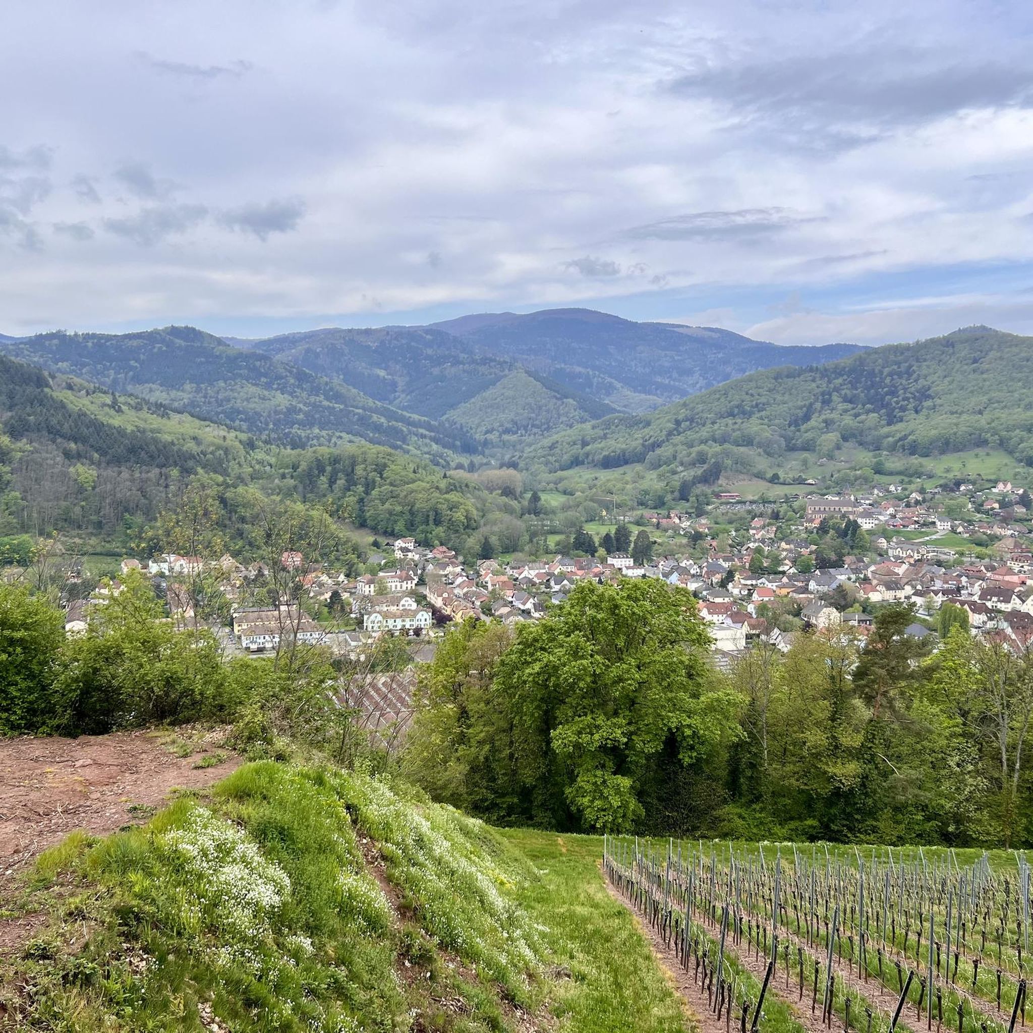
Jogging around Buhl offers a diverse landscape for runners, characterized by its mountainous terrain, dense forests, and scenic viewpoints. The region, situated in the Vosges foothills, features routes with significant elevation changes, leading through valleys and up to panoramic vistas. Runners can expect a mix of challenging ascents and more moderate paths, often passing historical sites and natural features.
Best jogging routes around Buhl
- The most popular jogging route is Our Lady of Loretto Chapel loop from Buhl, a…
Last updated: October 1, 2026
132
runners
17.6km
02:17
570m
560m
Hard run. Very good fitness required. Sure-footedness, sturdy shoes and alpine experience required.
4.3
(4)
88
runners
28.6km
04:28
1,500m
1,500m
Hard run. Very good fitness required. Sure-footedness, sturdy shoes and alpine experience required.

5.0
(1)
22
runners
6.20km
00:43
160m
160m
Moderate run. Good fitness required. Mostly paved surfaces. Suitable for all skill levels.
17
runners
10.9km
01:21
240m
240m
Moderate run. Good fitness required. Mostly paved surfaces. Suitable for all skill levels.
17
runners
14.8km
01:54
500m
500m
Hard run. Very good fitness required. Sure-footedness, sturdy shoes and alpine experience required.
Get access to more routes and recommendations from other explorers.
Already have an account?
Our route recommendations are based on thousands of hikes, rides, and runs completed by other people on komoot.
Start today with a free account
Your next adventure awaits.
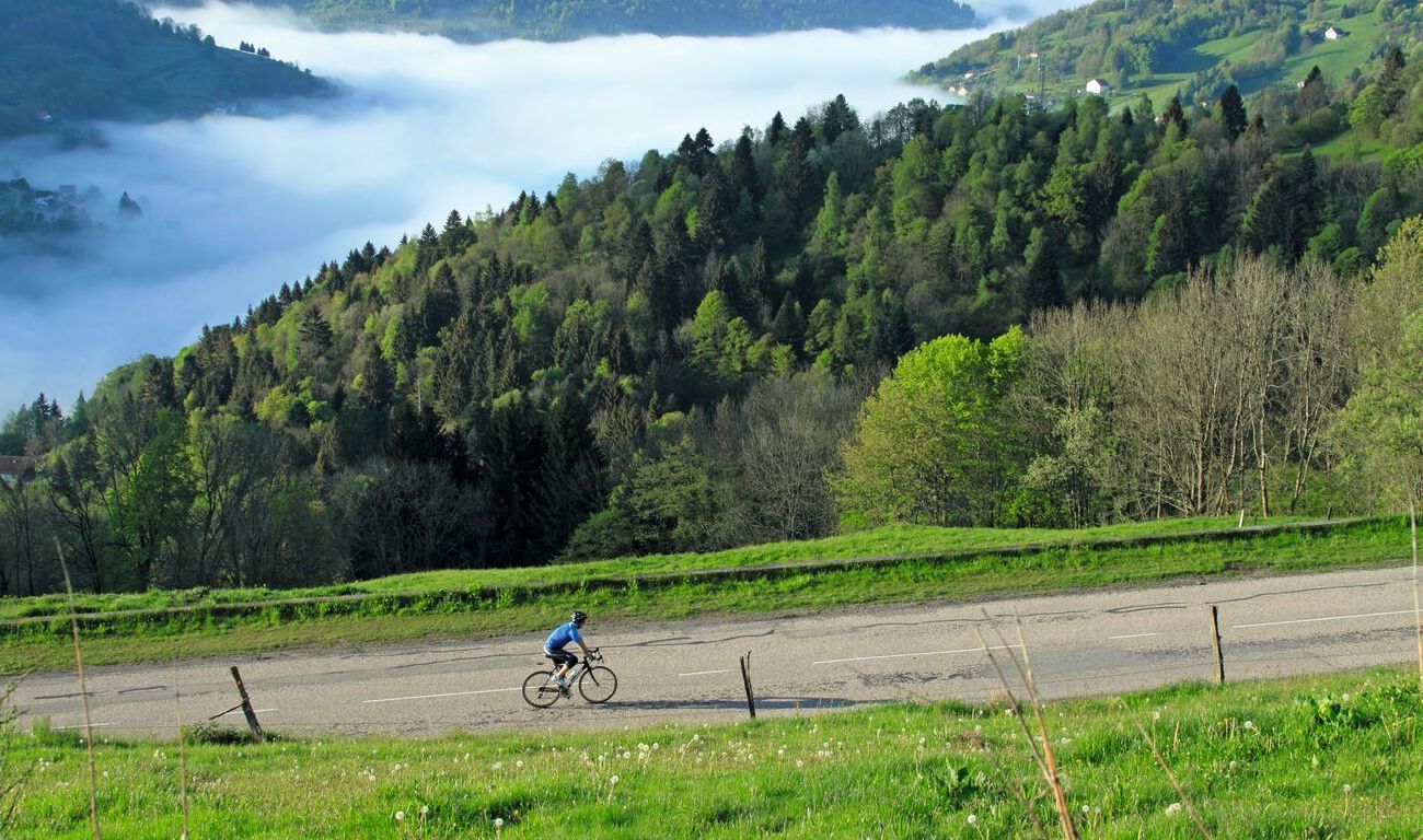
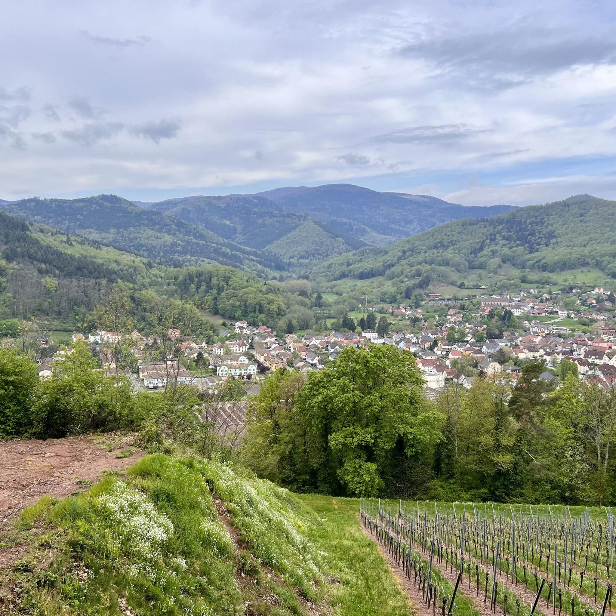
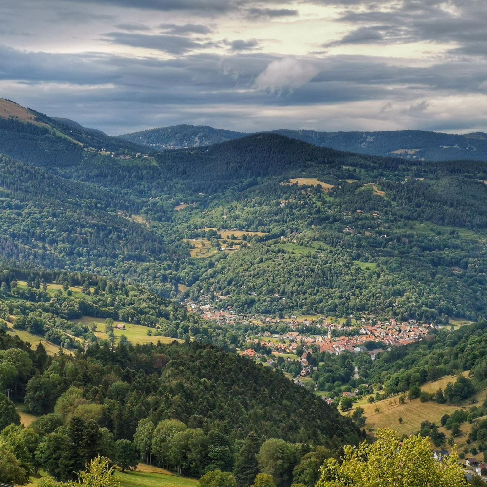
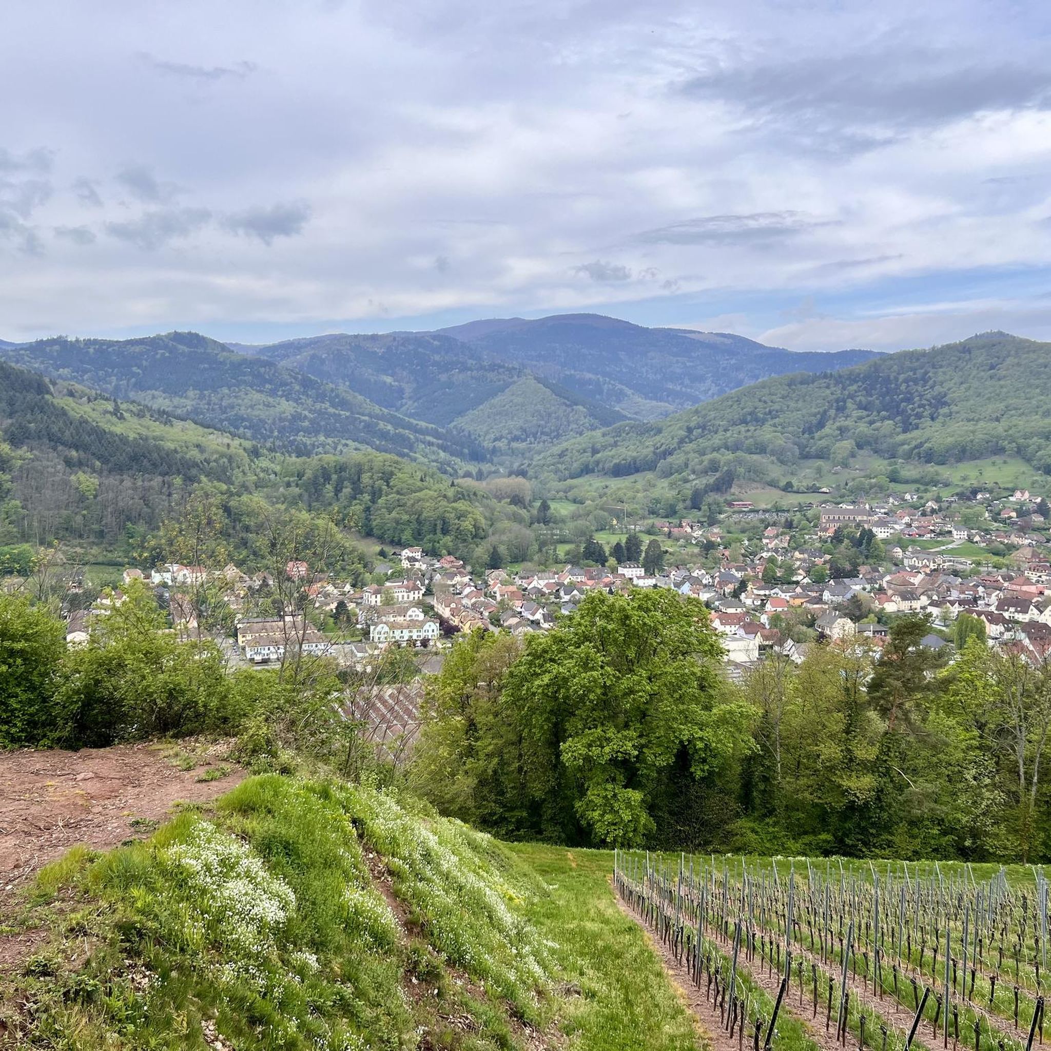
Other adventures around Buhl

Tips from the Community

When you drive from the Route des Crêtes towards Le Grand Ballon, you pass the Col du Haag (1233 m) almost unnoticed. Yet, this pass marks a special point on the southern flank of the highest mountain in the Vosges. Here, steep roads from the Thurdal leave the wooded slopes and reach the open heights of the massif. From the col, a typical Vosges landscape unfolds with mountain meadows, scattered farms, and sweeping views. The proximity of the Grand Ballon is felt everywhere: the imposing summit towers above the pass and forms the natural goal of the final climbing kilometers. For cyclists, the Col du Haag is mainly known as the point where difficult climbs from the valleys converge before the road continues to rise to the highest point of the Vosges.
6
0

The 360° panorama is superb.
0
0

Be careful in the rain, there is no wood available and the fireplace doesn't draw well. I advise you, if you sleep there, to take a good sleeping bag. You might also get a visit from little squirrels if you leave your food open!
0
0

A pleasant section to ride, with moderate climbs and little traffic. There were a few racing cyclists on the road.
2
0

Beautiful (break) lake below the Grand Ballon
1
0

At this location you will find a shelter, picnic table and water tap
1
0

Perfect outing at the start of the season to get back into shape
1
0

Magnificent views of the valleys and the opposite mountain ranges of the Vosges and fantastic vistas across the Rhine plain to the Black Forest and, in good weather, even to the snow-capped peaks of the Alps!
5
0
Frequently Asked Questions
How many running routes are available around Buhl?
There are over 30 dedicated running routes around Buhl, offering a diverse range of experiences for all fitness levels. These include easy paths, moderate loops, and challenging mountain ascents.
Are there any easy jogging routes in Buhl for beginners or a relaxed run?
Yes, Buhl offers a few easier jogging routes. While many trails feature significant elevation, there are at least 2 routes classified as easy. For a moderate option with scenic views, consider the Panorama of Guebwiller – View of guebwiller loop from Guebwiller, which is 6.2 km long and takes about 42 minutes.
What are the most challenging running trails in Buhl?
Buhl is known for its challenging terrain. Some of the most difficult routes include the Grand Ballon – Grand Ballon loop from Buhl, which spans 28.6 km with nearly 1500 meters of elevation gain, and the Our Lady of Loretto Chapel loop from Buhl, a 17.6 km trail with over 560 meters of ascent.
Can I find circular running routes in Buhl?
Yes, many of the running routes in Buhl are designed as loops, allowing you to start and finish at the same point. Examples include the popular Our Lady of Loretto Chapel loop from Buhl and the Bannstein Pass – Col du Dreibannstein loop from Buhl.
What kind of natural features or landmarks can I expect to see on a run in Buhl?
Running routes in Buhl often lead through dense forests, past mountain passes, and to panoramic viewpoints. You can encounter significant natural features like the Grand Ballon and Petit Ballon summits, the Markstein mountain pass, and the serene Ballon Lake. Some routes also pass historical sites, such as the chapel on the Our Lady of Loretto Chapel loop or the Ruins of Hohrupf Castle.
What do other runners say about the trails in Buhl?
The running routes in Buhl are highly rated by the komoot community, with an average score of 4.4 stars from over 8 reviews. Runners often praise the diverse terrain, the challenging ascents, and the rewarding panoramic views from the Vosges foothills.
Are there any routes that offer particularly good viewpoints?
Absolutely. The region is known for its panoramic vistas. The Panorama of Guebwiller – View of guebwiller loop from Guebwiller offers excellent views over Guebwiller. Many higher elevation routes, especially those leading towards the Grand Ballon or Petit Ballon, provide stunning scenic outlooks.
What is the best time of year to go running in Buhl?
Buhl's mountainous terrain and forests offer beautiful scenery throughout the year. Spring and autumn are particularly popular for their mild temperatures and vibrant colors. However, some higher elevation trails might be affected by snow or ice in winter, so checking local conditions is advisable.
Are there any routes that pass by interesting historical sites or ruins?
Yes, you can combine your run with a bit of history. The Wolfsgrub Wolf Sculpture – Ruins of Hohrupf Castle loop from Buhl takes you past the intriguing Ruins of Hohrupf Castle. The Our Lady of Loretto Chapel loop also features a notable chapel along its path.
What are the typical elevation changes on running routes in Buhl?
Running in Buhl is characterized by significant elevation changes due to its location in the Vosges foothills. Even moderate routes like the Bannstein Pass – Col du Dreibannstein loop can have over 240 meters of ascent, while difficult trails like the Grand Ballon loop can feature nearly 1500 meters of climbing.
Are there any long-distance running trails for endurance training in Buhl?
For long-distance runners, Buhl offers several extensive routes. The Grand Ballon – Grand Ballon loop from Buhl is a challenging 28.6 km trail, perfect for endurance training. Another substantial option is the Our Lady of Loretto Chapel loop from Buhl, which covers 17.6 km.
Most popular attractions around Buhl

Get inspired with the komoot mobile app


Explore more
Browse the best Running Trails & Routes in other regions.
