The best walks and hikes around Rufach
4.5
(2255)
10,364
hikers
55
hikes
Hiking around Rufach offers diverse landscapes at the foothills of the Vosges Mountains, characterized by vineyards, extensive forests, and panoramic viewpoints. The region is part of the Regional Nature Park Ballons des Vosges, providing varied terrain from gentle slopes to more challenging ascents. Hikers can explore root-covered forest paths and trails through the Alsace vineyards, with many routes offering views of the Alsace plain and the Black Forest.
Best hiking trails around Rufach
- The most popular hiking route is Petit…
Last updated: October 10, 2026
4.7
(68)
269
hikers
9.93km
03:23
420m
420m
Hike the moderate Petit Ballon Loop via GR 532 for 6.2 miles (9.9 km) in the Vosges, featuring panoramic summit views.
4.6
(79)
285
hikers
Moderate hike. Good fitness required. Mostly accessible paths. Sure-footedness required.

4.6
(8)
38
hikers
4.71km
01:38
260m
260m
Easy hike. Great for any fitness level. Easily-accessible paths. Suitable for all skill levels.
4.4
(14)
39
hikers
7.61km
02:12
190m
190m
Moderate hike. Good fitness required. Easily-accessible paths. Suitable for all skill levels.
5.0
(4)
42
hikers
6.80km
02:25
380m
380m
Moderate hike. Good fitness required. Mostly accessible paths. Sure-footedness required.
Get access to more routes and recommendations from other explorers.
Already have an account?
Our route recommendations are based on thousands of hikes, rides, and runs completed by other people on komoot.
Start today with a free account
Your next adventure awaits.
Tips from the Community

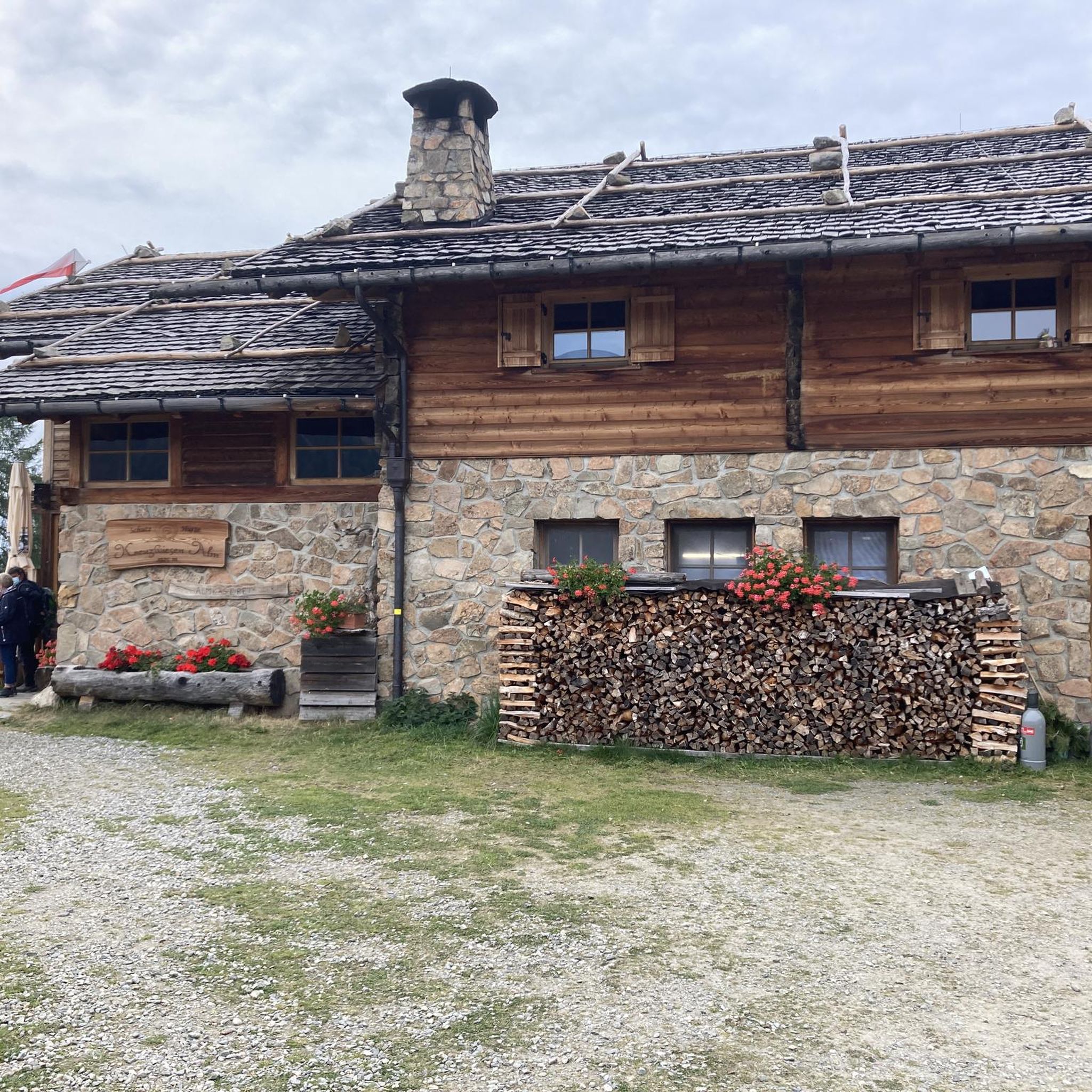
Col du Boenlesgrab - Large parking lot - On the GR532. Multiple hiking trails allowing access to Petit Ballon, to go around it, or to enjoy the farm inns. Return for pedestrians and mountain bikers possible towards 3 different valleys.
0
0

It always amazes me to see how long remnants of wars remain in the landscape. This was one of many other signs of WWI.
0
0
It is easier than it looks but with the heat everything was more difficult.
0
0
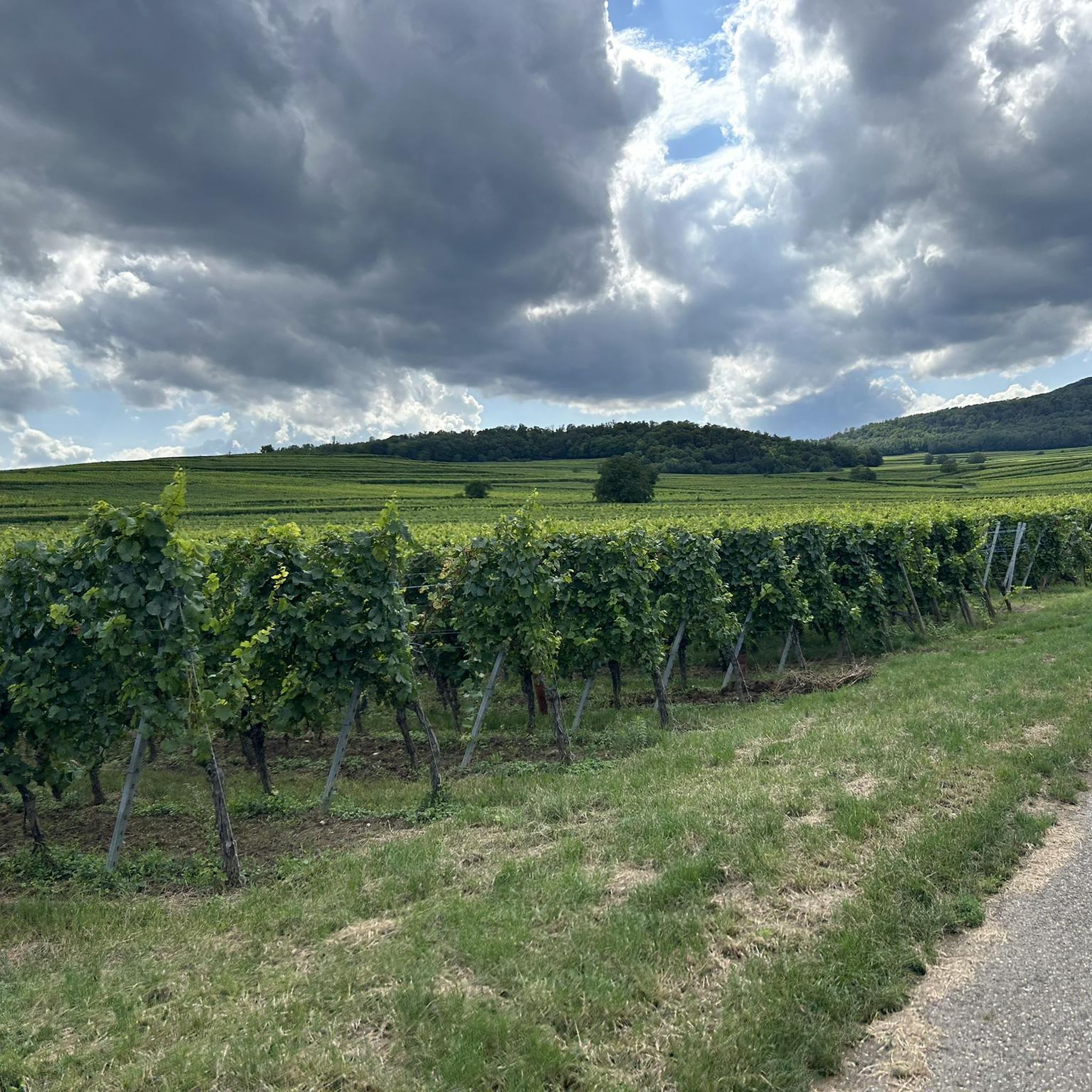
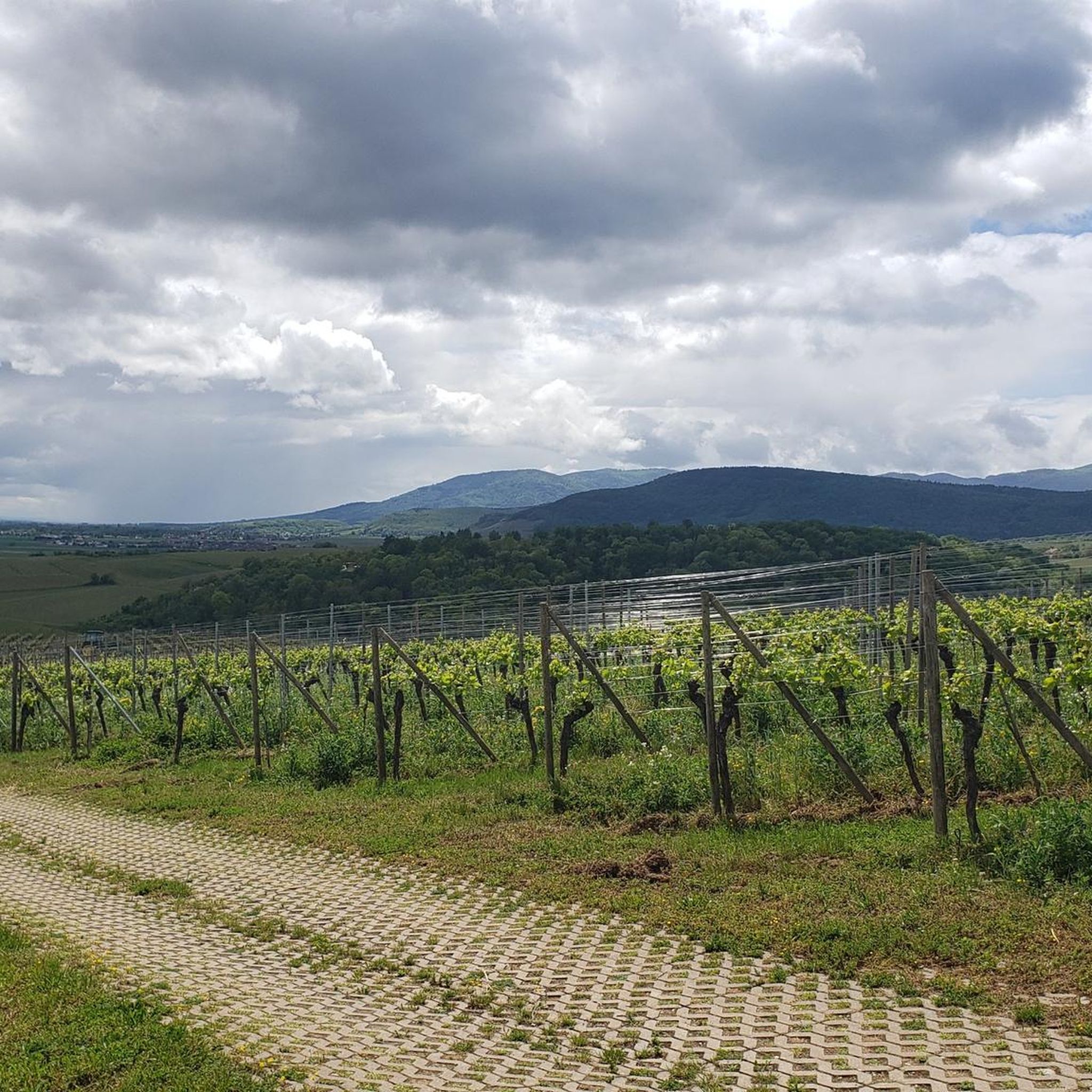
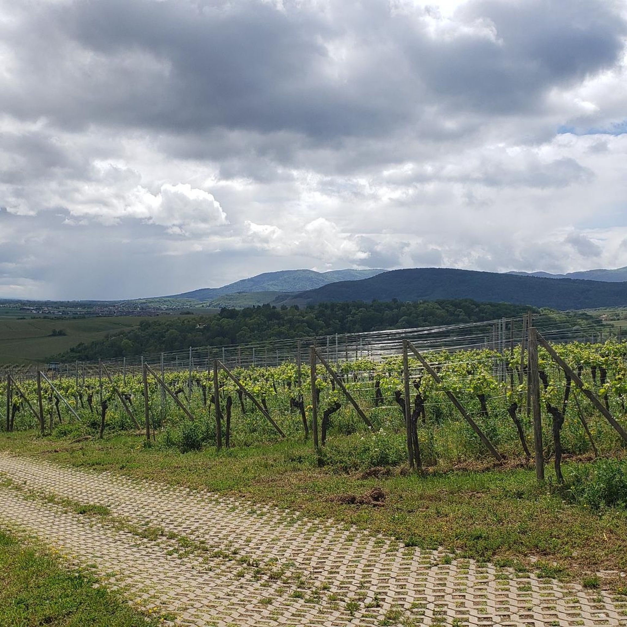
Orientation table located in the vineyard. View of Rouffach, the plain, the Black Forest and, weather permitting, as far as the Swiss Alps.
0
0

A challenge on a mountain bike without a motor. But the downhill trails are great. It's worth it 👍🏻
2
0

At many points along the route, you can get on and start hiking. There are ample parking spaces for hikers, as well as farms with refreshment stops.
0
0

This short but tough climb (2.4 km at 4.8% average) takes you via quiet asphalt roads through the forest south of Colmar. The summit is at 352 meters altitude and is ideal for those looking for a shady climb with little traffic. The steepest section reaches 9.6%, but the climb is easy for recreational cyclists. Perfect as a connecting link between the wine villages and the Vosges.
6
0
Frequently Asked Questions
What types of landscapes can I expect to see while hiking around Rufach?
Hiking around Rufach offers a diverse range of landscapes. You'll find yourself in the foothills of the Vosges Mountains, with trails winding through lush vineyards of Alsace, extensive forests, and open areas providing panoramic views. The region is part of the Regional Nature Park Ballons des Vosges, known for its varied terrain from gentle slopes to more challenging ascents.
Are there hiking trails suitable for families with children in Rufach?
Yes, Rufach offers several easy trails perfect for families. For example, the Boenlesgrab Pass – Strohberg Farm Inn loop from Col de Boenlesgrab is an easy 4.8 km (3.0 miles) path that takes about 1 hour 39 minutes, leading through forested areas and past local farm inns. There are 23 easy routes in total, providing plenty of options for all ages.
What kind of views can I expect on hikes near Rufach?
Many trails around Rufach offer breathtaking panoramic views. You can expect to see the surrounding Vosges summits, the vast Alsace plain, and even the Black Forest on clear days. The Grand Cru Vorbourg walk, rising above Rufach, is particularly noted for its wide landscape views to the south. The summit of Petit Ballon also provides exceptional vistas over the Munster and Lauch valleys.
Are there any circular hiking routes available in the Rufach area?
Yes, many of the trails around Rufach are circular, allowing you to start and end at the same point. Popular circular routes include the Petit Ballon Loop via GR 532 and the Petit Ballon Pass (1,163 m) – Statue of the Virgin Mary loop from Col de Boenlesgrab, both offering scenic journeys back to your starting point.
What are some notable landmarks or attractions I can see near the hiking trails?
The Rufach area is rich in historical and natural landmarks. You can explore charming villages like Eguisheim Village, or visit impressive castles such as The Three Castles of Eguisheim and Hohlandsbourg Castle. For natural features, the Grand Ballon, the highest peak in the Vosges, is also nearby.
What is the best season for hiking in Rufach?
Rufach offers great hiking opportunities throughout much of the year. Spring brings blooming vineyards and fresh forest air, while summer provides warm weather for exploring. Autumn is particularly beautiful with vibrant foliage across the Vosges mountains and vineyards. While winter hiking is possible, some higher elevation trails may be challenging due to snow and ice.
How many hiking trails are there in Rufach, and what are their difficulty levels?
There are over 50 hiking trails around Rufach. These routes cater to all fitness levels: 23 are classified as easy, 27 as moderate, and 6 as difficult. This variety ensures that both casual walkers and experienced mountaineers can find suitable options.
Are there any challenging hikes for experienced hikers in Rufach?
Yes, for experienced hikers seeking a challenge, Rufach offers 6 difficult routes. These trails typically involve significant elevation gain and longer distances, often leading to higher peaks in the Vosges Mountains like the Storkenkopf, the second-highest peak in the Vosges, or the Steinberg, known for its striking rock formations.
Is there parking available at the trailheads around Rufach?
Yes, the region is generally well-equipped with adequate hiking parking, especially at popular starting points like Col de Boenlesgrab. Many trailheads are accessible by car, making it convenient to reach your chosen route.
What do other hikers say about the trails in Rufach?
The hiking trails in Rufach are highly regarded by the komoot community, with an average rating of 4.6 stars from over 2,100 reviews. Hikers often praise the well-maintained paths, the stunning panoramic views, and the diverse landscapes that range from peaceful vineyards to mystical forests.
Can I find places to eat or drink near the hiking trails in Rufach?
Yes, the Rufach area is known for its 'ferme-auberges' (farm inns) which are often located along or near hiking routes, particularly in the Vosges mountains. These offer local culinary experiences and a chance to rest and refuel during or after your hike. The Boenlesgrab Pass – Strohberg Farm Inn loop from Col de Boenlesgrab is an example of a route that passes by such establishments.
Are there any trails that offer views of the famous Petit Ballon?
Absolutely. The Petit Ballon is a prominent feature in the region, and many trails offer views of or lead directly to it. The Boenlesgrab Pass – Petit Ballon loop from Col de Boenlesgrab is a moderate 6.8 km route specifically designed to explore this area, providing excellent summit views.
Most popular routes around Rufach
Most popular attractions around Rufach

Get inspired with the komoot mobile app


Explore more
Browse the best Hikes in other regions.
