The best walks and hikes around Gundolsheim
4.6
(2077)
10,672
hikers
693
hikes
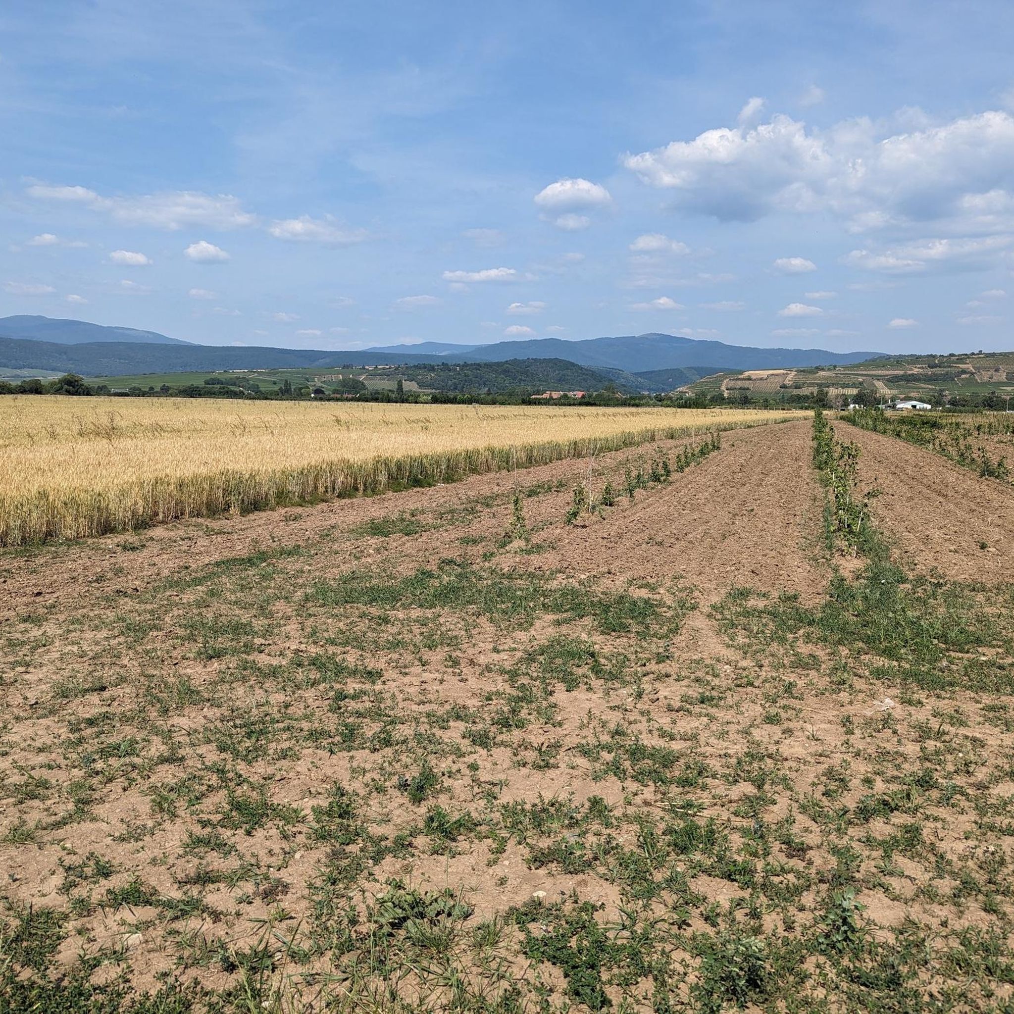
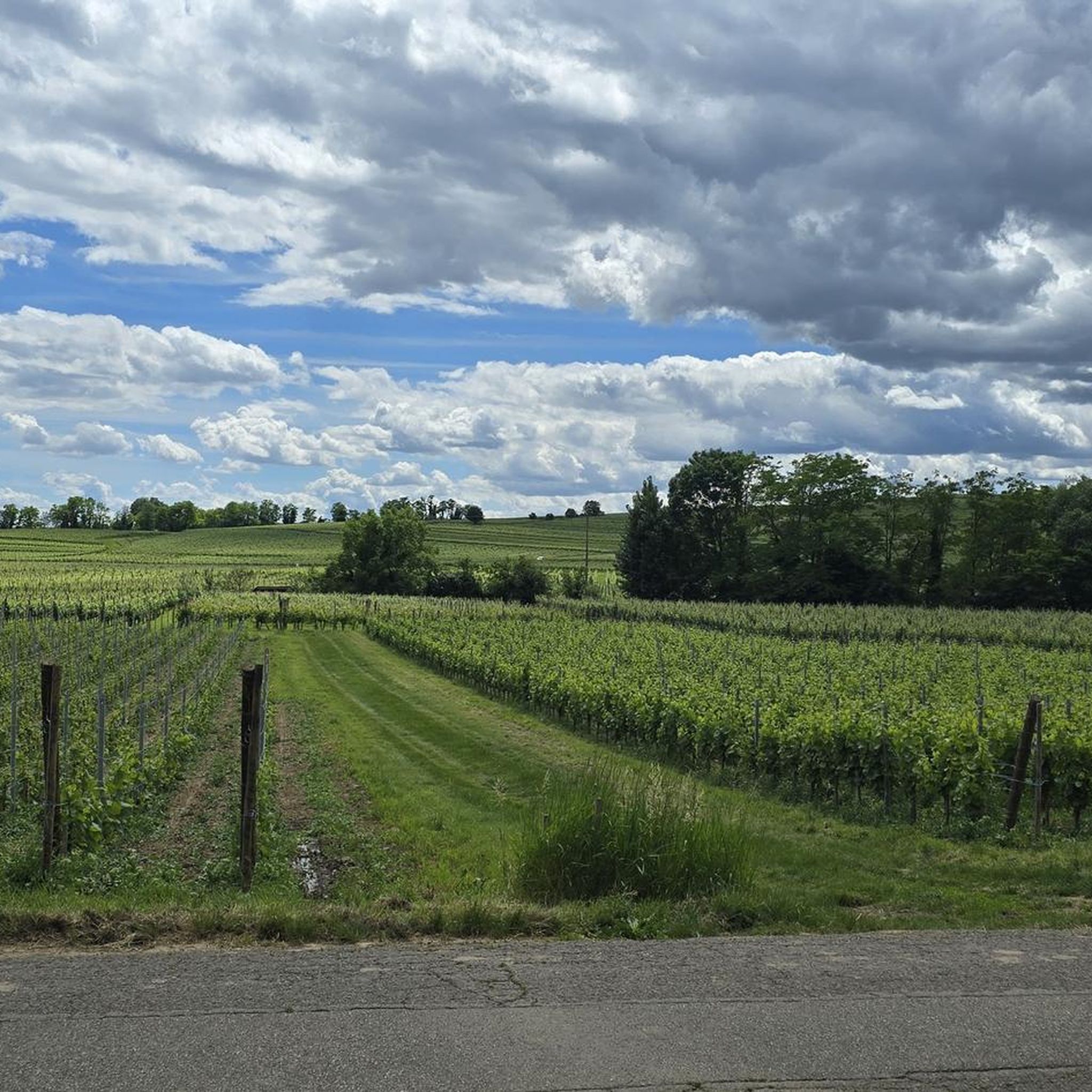
Hiking around Gundolsheim offers access to a diverse landscape situated between the Vosges mountains and the Rhine river in France's Alsace region. The terrain features rolling vineyards, dense forests, and hills, providing varied elevation changes. The area is characterized by its proximity to the Vosges Mountains, offering routes with panoramic views of the Alsatian plain and the Black Forest.
Best hiking trails around Gundolsheim
- The most popular hiking route is Croix de la Mission – View of Guebwiller loop from…
Last updated: June 28, 2026
4.7
(27)
143
hikers
6.90km
01:55
130m
130m
Easy hike. Great for any fitness level. Easily-accessible paths. Suitable for all skill levels.
4.8
(27)
73
hikers
11.6km
03:23
320m
320m
Moderate hike. Good fitness required. Easily-accessible paths. Suitable for all skill levels.

Sign up for free
4.8
(17)
94
hikers
5.24km
01:27
90m
90m
Easy hike. Great for any fitness level. Easily-accessible paths. Suitable for all skill levels.
4.3
(12)
36
hikers
7.79km
02:15
190m
190m
Moderate hike. Good fitness required. Easily-accessible paths. Suitable for all skill levels.
4.8
(6)
25
hikers
10.6km
03:00
240m
240m
Moderate hike. Good fitness required. Easily-accessible paths. Suitable for all skill levels.
Get access to more routes and recommendations from other explorers.
Sign up for free
Already have an account?
Our route recommendations are based on thousands of hikes, rides, and runs completed by other people on komoot.
Start today with a free account
Your next adventure awaits.
Login or Signup
Tips from the Community

At the top of the hill at the crossroads you have a parking lot and a nice stone picnic table.
5
0
This short but tough climb (2.4 km at 4.8% average) takes you via quiet asphalt roads through the forest south of Colmar. The summit is at 352 meters altitude and is ideal for those looking for a shady climb with little traffic. The steepest section reaches 9.6%, but the climb is easy for recreational cyclists. Perfect as a connecting link between the wine villages and the Vosges.
5
0


Also great in autumn! At the wonderful Domaine du Bollenberg (tastings, very good cuisine, hotel, great location).
0
0

After rainy days, the paths are very soft and muddy - not necessarily recommended...
0
0

In hot weather, the climb through the vineyards of Rouffach is difficult. It is worth getting up early to escape the worst of the heat!
0
0

beautiful view behind the small chapel
1
0
Frequently Asked Questions
How many hiking trails are available around Gundolsheim?
There are over 670 hiking trails around Gundolsheim, offering a wide variety of options for all skill levels. This includes more than 270 easy routes, over 350 moderate trails, and around 50 more challenging hikes.
What kind of terrain can I expect on hikes around Gundolsheim?
The terrain around Gundolsheim is diverse, ranging from picturesque vineyard paths and forested hills characteristic of the Alsace Wine Route to the foothills of the majestic Vosges Mountains. You'll find routes with varied elevation changes, offering panoramic views of the Alsatian plain and even the Black Forest on clear days.
Are there hiking trails suitable for beginners or those looking for an easy walk?
Yes, Gundolsheim offers plenty of easy hiking options. With over 270 easy routes, you can enjoy gentle strolls through vineyards and forests. An example is the Auberge du Parc – Bollenberg chapel loop from Westhalten, which is an easy 5.2 km trail leading through vineyards.
Are there family-friendly hiking options near Gundolsheim?
Yes, the extensive trail network around Gundolsheim includes many paths suitable for family outings. The region's diverse scenery, with vineyards and forests, provides pleasant and accessible walks for all ages. Look for routes marked as 'easy' on komoot for the most family-friendly experiences.
Can I bring my dog on the hiking trails around Gundolsheim?
Generally, dogs are welcome on hiking trails around Gundolsheim and throughout the Alsace region. However, it's always advisable to keep your dog on a leash, especially in nature reserves, agricultural areas, or when passing through villages, to ensure the safety and comfort of wildlife and other hikers.
Are there circular hiking routes available in the Gundolsheim area?
Many of the hiking routes around Gundolsheim are designed as loops, allowing you to start and end at the same point. For instance, the View from Strangenberg – Neuland Pass loop from Rouffach is a popular moderate circular path offering scenic views.
What natural landmarks can I discover while hiking near Gundolsheim?
While hiking, you can explore several natural landmarks. Notable sites include the Wolf Pit Pass (Wolfsgrube), the ancient Langenstein Menhir, and unique rock formations like the Grossfels Rocks and Cuckoo Rock (Kuckuckstein).
Are there historical sites or castles to see on hikes around Gundolsheim?
Yes, the region is rich in history. You can incorporate visits to historical sites and castles into your hikes. Explore the Rouffach Old Town or discover the ruins of Hohrupf Castle and Château du Hugstein, which are often accessible via hiking trails.
When is the best time of year to go hiking around Gundolsheim?
The best time for hiking around Gundolsheim is generally from spring to autumn (April to October). During these months, the weather is pleasant, the vineyards are lush, and the forests are vibrant. Autumn offers particularly beautiful colors. While winter hiking is possible, some higher elevation trails in the Vosges foothills might require appropriate gear or be less accessible.
Is parking available at the trailheads around Gundolsheim?
Yes, parking is generally available near popular trailheads and in the villages surrounding Gundolsheim. Many routes, especially those starting from towns like Rouffach or Bergholtzzell, will have designated parking areas for hikers. It's always a good idea to check the specific route details on komoot for parking information.
How can I reach hiking trails near Gundolsheim using public transport?
Gundolsheim's location in the Haut-Rhin department means it has connections to public transport networks. While direct access to every trailhead might vary, you can often reach nearby towns like Rouffach by bus or train, and then either walk to a trailhead or use local connections. Planning your route on komoot can help identify starting points accessible by public transport.
What do other hikers appreciate most about the trails near Gundolsheim?
The hiking trails around Gundolsheim are highly rated by the komoot community, with an average score of 4.6 stars from over 1800 reviews. Hikers frequently praise the diverse scenery, from the peaceful vineyards to the refreshing forests, and the well-maintained paths that offer stunning views of the Alsatian plain and the Vosges mountains.
Are there places to eat or stay near the hiking trails in Gundolsheim?
Gundolsheim itself is a tranquil village, but its proximity to charming towns like Rouffach (3 km) and Ungersheim (5 km) means you'll find various amenities. These nearby towns offer cafes, restaurants, and accommodation options that are convenient for hikers. Many trails also pass through or near villages where you can find places to refresh.
Most popular routes around Gundolsheim
Most popular attractions around Gundolsheim

Get inspired with the komoot mobile app


Explore more
Browse the best Hikes in other regions.
