The best running trails around Vachères-En-Quint
4.5
(31)
914
runners
69
runs
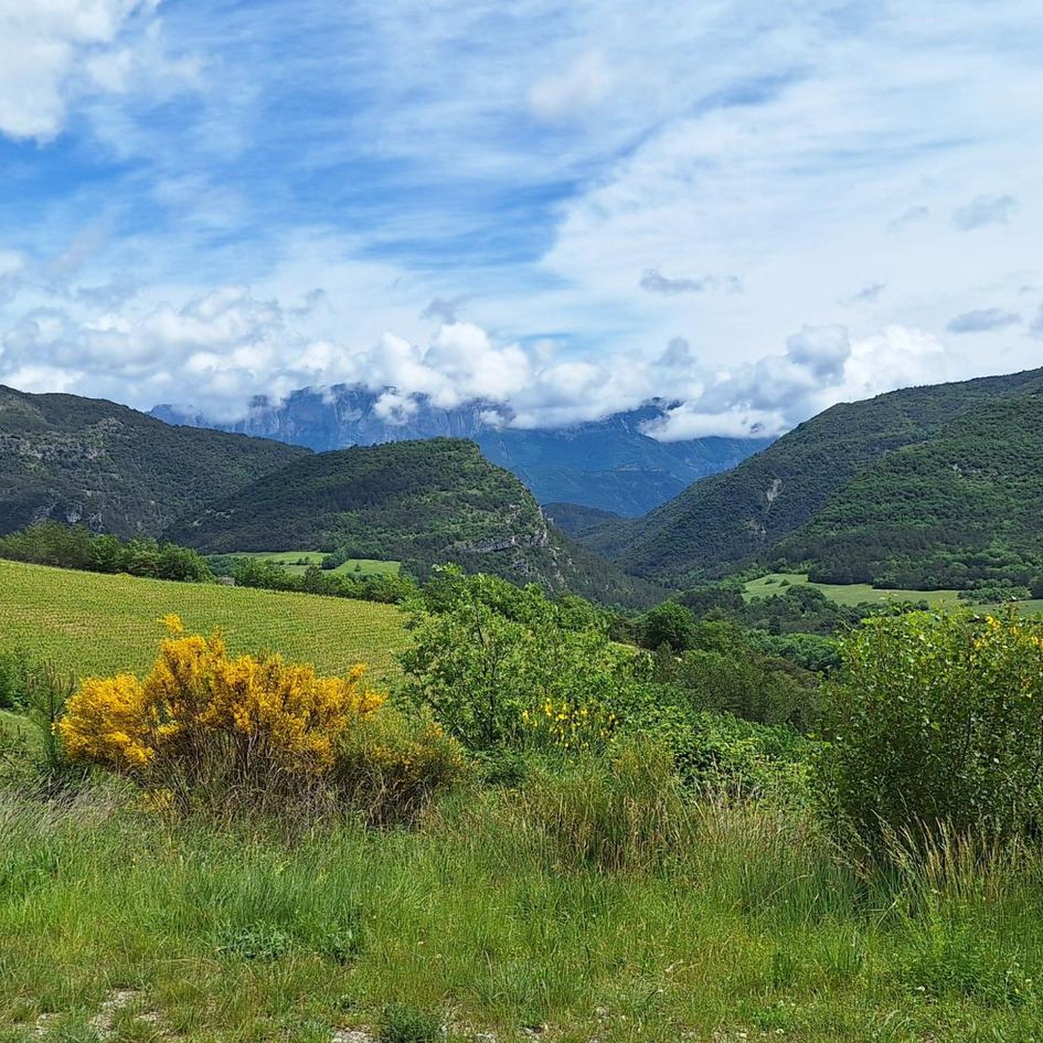
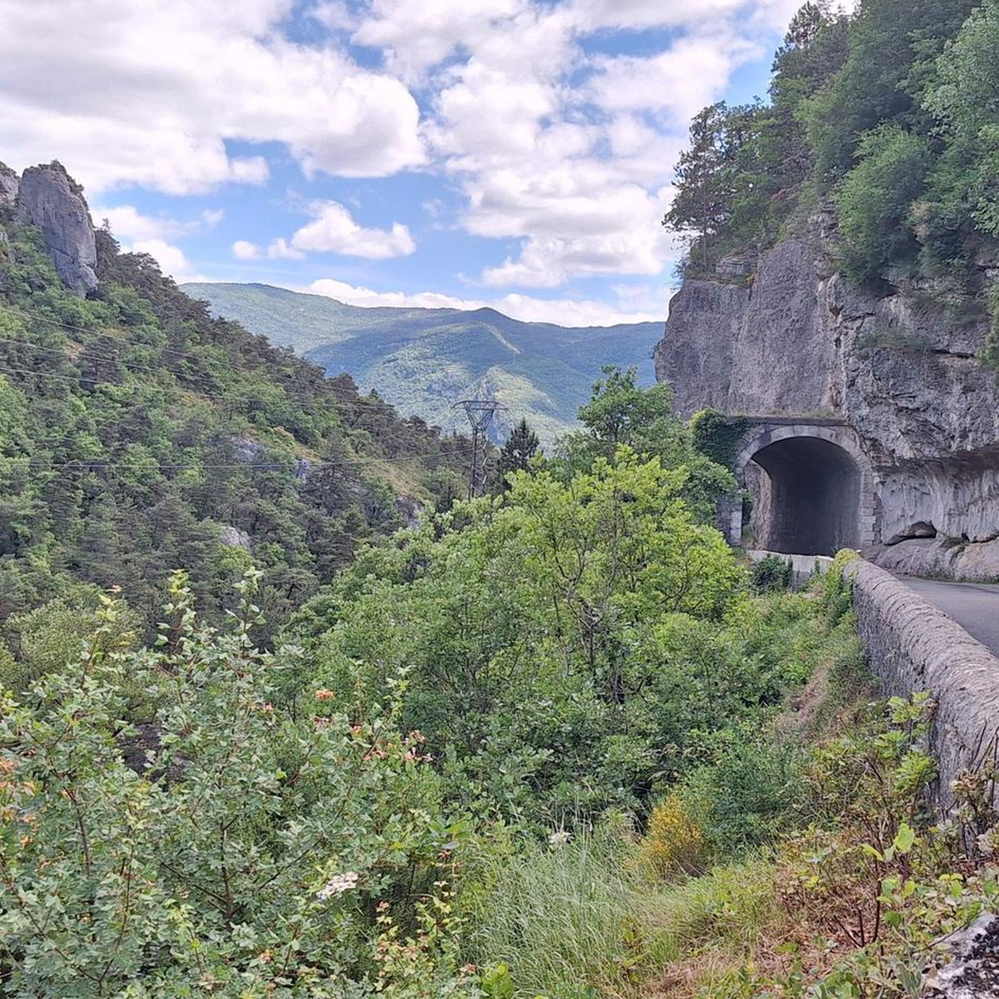
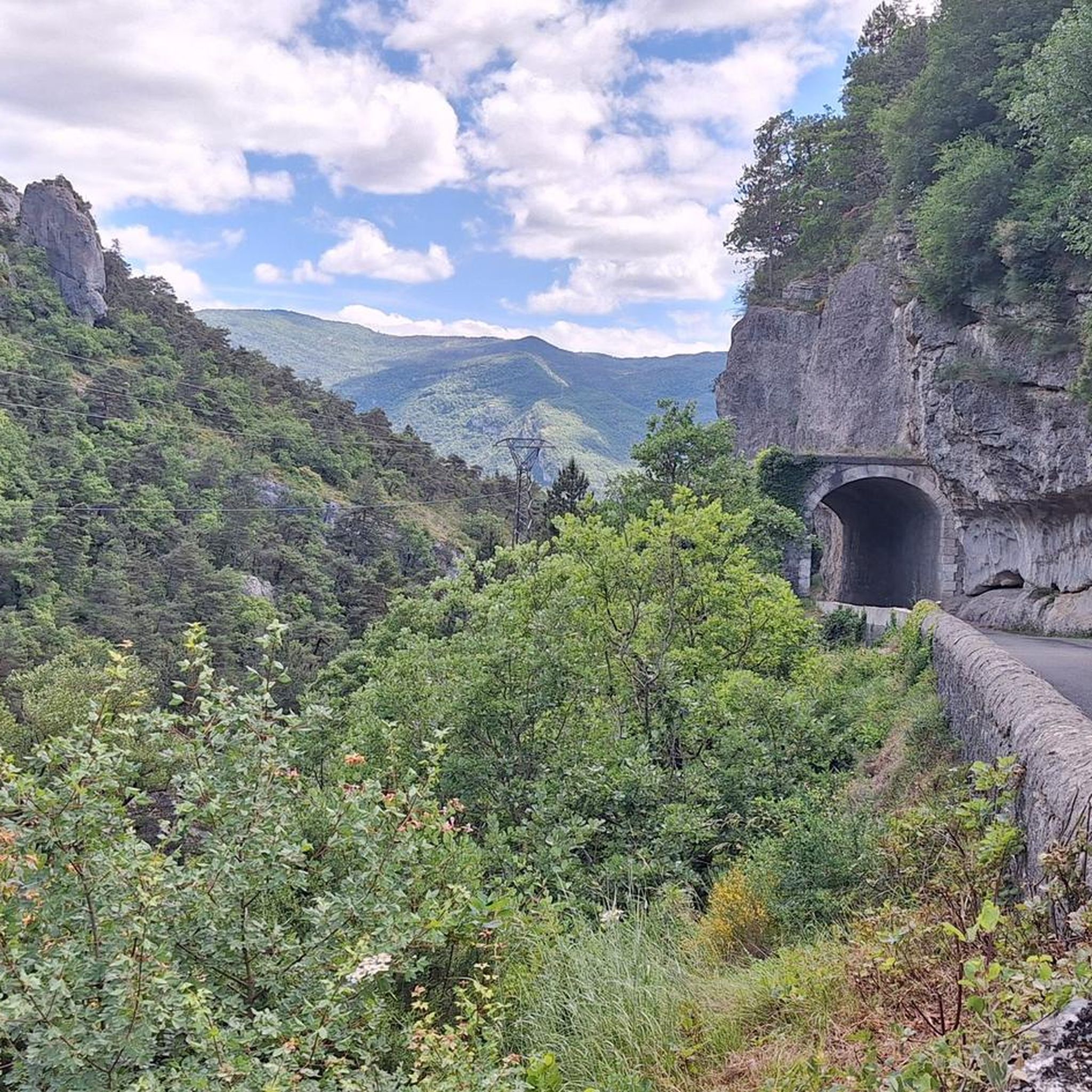
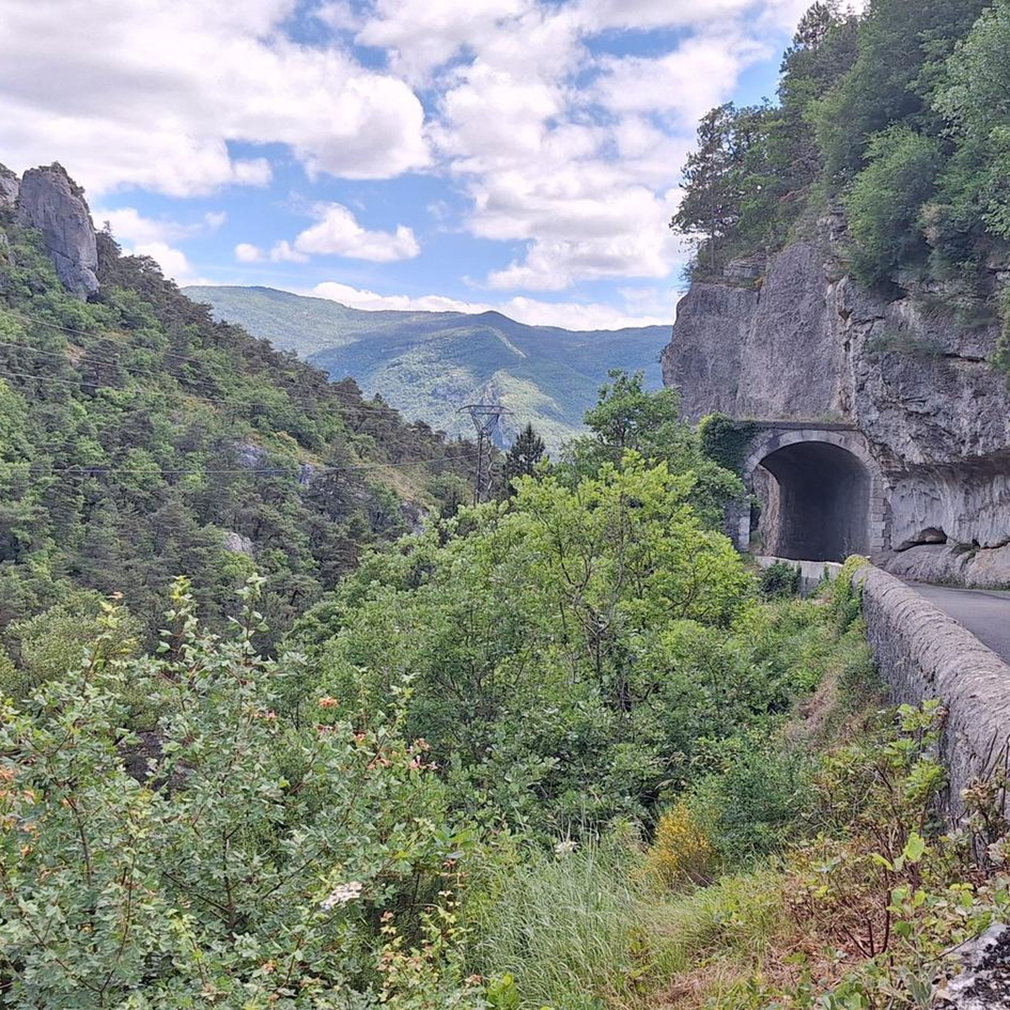
Jogging routes around Vachères-En-Quint are set within the pristine natural environment of the Drôme department, offering diverse landscapes for runners. The village is situated at an altitude of 830 meters, providing expansive panoramic views across the surrounding unspoiled countryside. The region is characterized by the picturesque Quint Valley and its proximity to significant natural areas like the Diois region and the Parc Naturel Régional du Vercors, which feature extensive trail networks. This varied terrain, including hills and river access, creates…
Last updated: July 1, 2026
4.6
(5)
16
runners
6.55km
00:47
120m
120m
Moderate run. Good fitness required. Mostly paved surfaces. Suitable for all skill levels.
5.0
(1)
41
runners
7.33km
00:46
30m
30m
Moderate run. Good fitness required. Mostly paved surfaces. Suitable for all skill levels.

Sign up for free
14
runners
13.4km
02:22
960m
960m
Hard run. Very good fitness required. Sure-footedness, sturdy shoes and alpine experience required.
4.0
(2)
12
runners
10.7km
01:12
190m
190m
Moderate run. Good fitness required. Mostly paved surfaces. Suitable for all skill levels.
4.0
(1)
5
runners
6.12km
00:43
140m
140m
Moderate run. Good fitness required. Mostly paved surfaces. Suitable for all skill levels.
Get access to more routes and recommendations from other explorers.
Sign up for free
Already have an account?
Our route recommendations are based on thousands of hikes, rides, and runs completed by other people on komoot.
Start today with a free account
Your next adventure awaits.
Login or Signup

Tips from the Community


The old town of Die is worth a visit, it is full of artisan shops and good products to eat (restaurants, bakery, etc.) In the town center you will find the Vélodrome store to help you with your bikes or to rent.
1
0

The only Roman monument in the department, the ramparts of Die date from the 3rd century. This fortified complex is made up of towers and walls which served to protect the city from Germanic intrusions.
1
0

There are even several bike shops and cafes and...
0
0

Le Glacier, best place to have an ice cream 🍨 after a long ride or walk. They have 80 tastes!
1
0

This small town in the Drôme is resolutely turned towards nature. It is part of the Vercors Regional Natural Park. It is located at the foot of the massif and on the banks of the Drôme.
1
0
Frequently Asked Questions
How many running routes are available in the Vachères-en-Quint area?
The Vachères-en-Quint region offers a wide selection of running trails, with over 60 routes identified on komoot. These routes cater to various fitness levels, ranging from easy jogs to more challenging mountain runs.
What kind of terrain can I expect on the jogging trails around Vachères-en-Quint?
Jogging routes in Vachères-en-Quint feature diverse terrain, from relatively flat paths around towns like Die to mountainous trails with significant elevation gain. The region is characterized by its unspoiled countryside, the picturesque Quint Valley, and panoramic views, offering a mix of forest paths, riverside trails, and open landscapes.
Are there any easy or beginner-friendly running routes in Vachères-en-Quint?
Yes, for those seeking a gentler pace or just starting out, there are 5 easy running routes available. A good option for a relatively flat experience is the City of Die loop from Die, which is 4.6 miles (7.4 km) long and suitable for a steady pace.
Can I find circular running routes in the Vachères-en-Quint area?
Many of the running routes in Vachères-en-Quint are circular, allowing you to start and finish at the same point. For example, the popular Running loop from Vercheny is a moderate 4.1 miles (6.6 km) trail that offers a scenic circular run through the local countryside.
Are there any running routes with significant elevation gain for a more challenging workout?
Absolutely. For runners looking for a challenge, Vachères-en-Quint offers 34 difficult routes with substantial elevation changes. A notable example is the Aiglette Peak – View from Col de Vassieux loop from Marignac-en-Diois, an 8.3 miles (13.4 km) trail with considerable ascent, typically completed in about 2 hours 22 minutes.
What natural features or landmarks can I see while running in Vachères-en-Quint?
The region is rich in natural beauty. You might encounter stunning panoramic views, especially from higher points like the 910-meter peak within the commune. Nearby attractions include the impressive Druise Waterfall and various viewpoints such as Croix du Vellan and View from Col de Vassieux, offering breathtaking vistas across the Drôme department.
Are the running trails in Vachères-en-Quint suitable for families?
Many of the easier and moderate routes are suitable for families, especially those with some experience in outdoor activities. The tranquil and preserved natural environment of the Quint Valley provides a safe and scenic setting for family runs or walks. Look for routes with lower elevation gain and shorter distances for a more family-friendly experience.
What do other runners say about the trails in Vachères-en-Quint?
The running routes in Vachères-en-Quint are highly regarded by the komoot community, holding an average rating of 4.4 stars from over 20 reviews. Runners often praise the unspoiled countryside, the diverse terrain, and the stunning panoramic views that make each run a rewarding experience.
Are there any running routes that start near the town of Die?
Yes, several routes are accessible from or near Die. Besides the City of Die loop from Die, another popular option is the Running loop from Die, a moderate 6.9 km (4.3 miles) trail that offers a pleasant run with some elevation changes.
Can I run with my dog on the trails in Vachères-en-Quint?
The natural environment of Vachères-en-Quint is generally welcoming for dogs, but it's always advisable to check local regulations for specific trails, especially within protected natural areas like the nearby Luberon Regional Natural Park or Parc Naturel Régional du Vercors. Keep your dog on a leash and be mindful of wildlife and other trail users.
What is the best time of year to go running in Vachères-en-Quint?
The region is beautiful year-round, but spring and autumn offer particularly pleasant running conditions with mild temperatures and vibrant scenery. During warmer months, river spots are available for cooling off, which can be a refreshing addition to your run. The clear night skies also make for unique evening runs, especially for stargazers.
Are there any running routes that explore the mountainous areas around Vachères-en-Quint?
Indeed. The region's proximity to the Diois region and the Parc Naturel Régional du Vercors means there are extensive networks of trails that venture into mountainous terrain. For a challenging experience, consider routes like the Col de Ponet et Marignac – Courdeau summit loop from Marignac-en-Diois, which involves significant climbing and offers rewarding views.
Most popular routes around Vachères-En-Quint
Most popular attractions around Vachères-En-Quint

Get inspired with the komoot mobile app


Explore more
Browse the best Running Trails & Routes in other regions.
