The best road cycling routes around Oberburnhaupt
4.4
(460)
14,781
riders
18
rides
Road cycling routes around Oberburnhaupt are situated in the Grand Est region of France, nestled within the scenic Doller Valley at the foot of the Vosges mountains. The terrain offers a diverse mix of winding roads through forests and picturesque valleys, providing varied experiences for cyclists. The area is characterized by its proximity to the Vosges mountains, featuring challenging climbs and extensive natural beauty.
Best road cycling routes around Oberburnhaupt
- The most popular road cycling route is Guewenheim - Lauw…
Last updated: October 20, 2026
5.0
(3)
78
riders
48.1km
01:55
250m
250m
Easy road ride. Great for any fitness level. Mostly well-paved surfaces and easy to ride.
4.0
(1)
33
riders
50.1km
02:14
450m
450m
Moderate road ride. Good fitness required. Mostly well-paved surfaces and easy to ride.

3.0
(1)
30
riders
Easy road ride. Great for any fitness level. Mostly well-paved surfaces and easy to ride.
14
riders
45.2km
01:58
290m
290m
Moderate road ride. Great for any fitness level. Some segments of this route may be unpaved and difficult to ride.
13
riders
62.5km
02:33
380m
380m
Moderate road ride. Good fitness required. Mostly well-paved surfaces and easy to ride.
Get access to more routes and recommendations from other explorers.
Already have an account?
Our route recommendations are based on thousands of hikes, rides, and runs completed by other people on komoot.
Start today with a free account
Your next adventure awaits.


Tips from the Community

The fountain in the foreground, the walled cemetery, and the church together form a very photogenic ensemble.
6
0
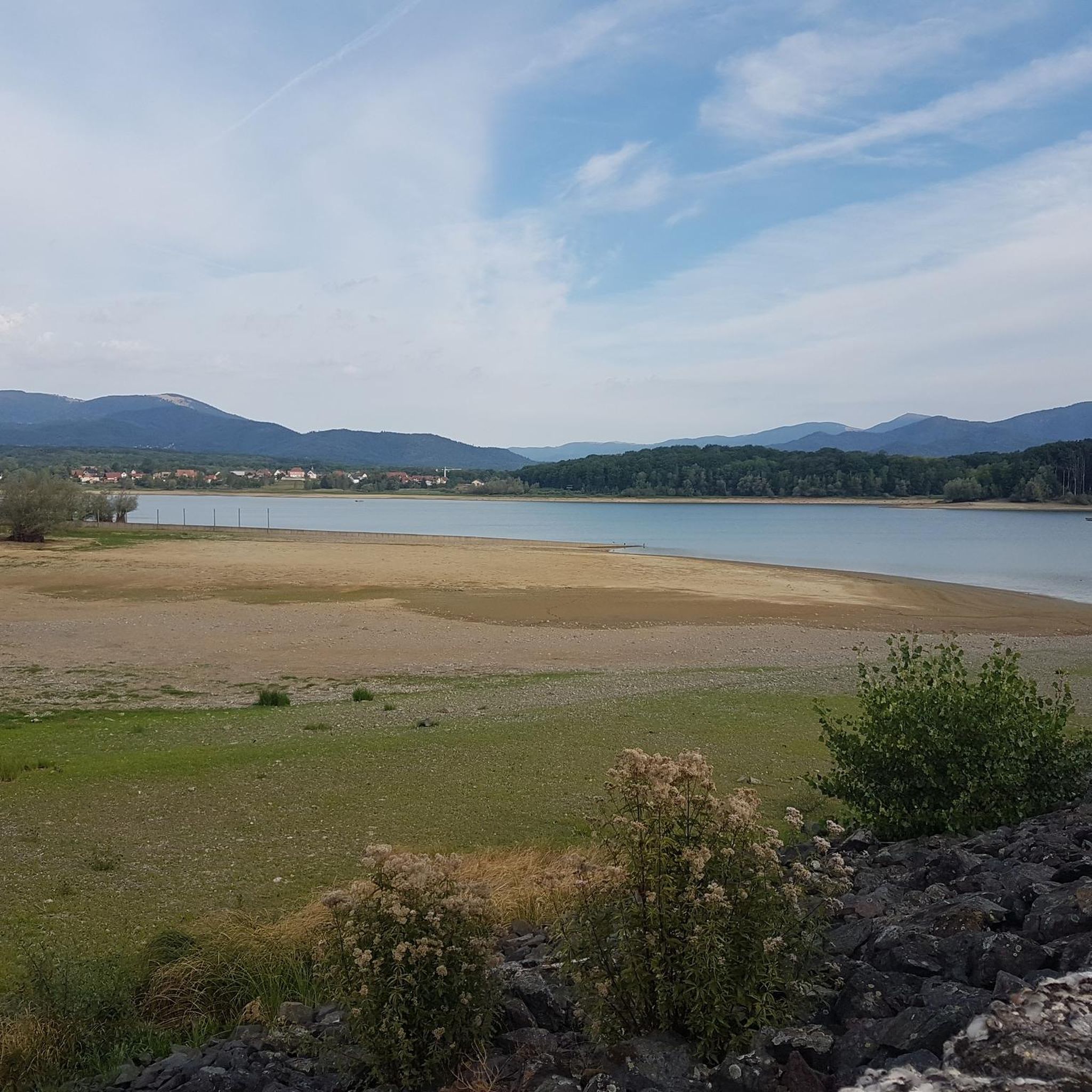
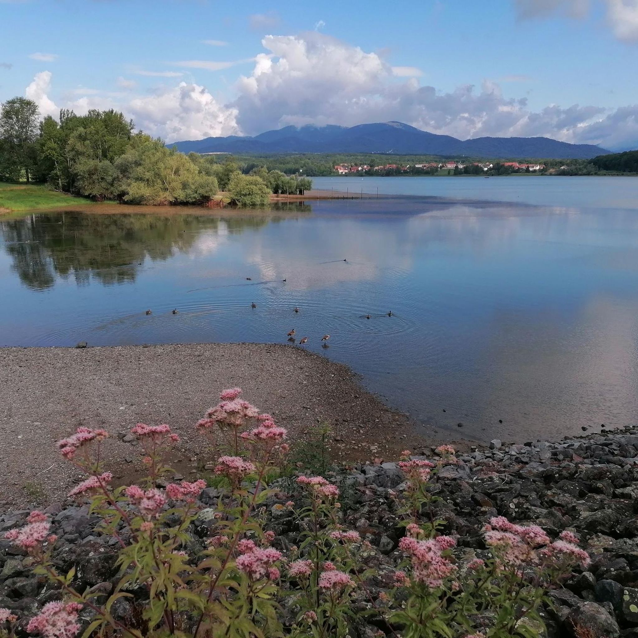
A picturesque mountain lake at the foot of the Ballon d'Alsace, surrounded by forests and steep slopes. 🚴♂️🏞️⛰️
7
0
Sewen forms the gateway to the climb to the Ballon d'Alsace. On warm days, you can still fill your drink bottles.
6
0
The Doller-fietspad (Voie Verte de la Vallée de la Doller) between Masevaux and Sewen largely follows a former railway line through the Doller valley in the southern Vosges. The route is approximately 10 to 12 km long, almost entirely car-free and asphalted. The gradient towards Sewen is very gradual, around 1%, making it a pleasant approach to the surroundings of the Ballon d'Alsace.
7
0

Bahnhof Burnhaupt-le-Haut The Bahnhof Burnhaupt-le-Haut is located on the former railway line from Cernay to Sewen, which led through the Dollertal. The line was built in the 19th century and was of great importance for passenger and freight transport in the region. During the First World War, the station gained particular strategic importance. Burnhaupt was located immediately behind or close to the front line between German and French troops. The railway was used to transport soldiers, weapons, ammunition, and other supplies. Due to the fighting, the station was heavily damaged. After the war, the station building was rebuilt between 1921 and 1923. A building typical of the region with elements of Alsatian architecture was created. The station has largely been preserved to this day and serves as a reminder of the importance of the railway for the region's development and the destruction of the First World War. Regular passenger service on the line was discontinued in 1967, and the line was later closed. Part of the former railway line is now operated as a museum railway by Train Thur Doller Alsace. Historic locomotives and wagons run on the line through the Dollertal, making the history of the railway tangible for visitors. The Bahnhof Burnhaupt-le-Haut is therefore not only a former transport hub, but also a historic site where the history of the region, the railway, and the First World War converge. Further information and historical photos: Train Thur Doller Alsace – Bahnhof Burnhaupt
0
0

calm and well-rolling section
0
0

The Place des Anciens Combattants is located directly on the departmental road D466, at the transition from Grand'Rue to Rue du Ballon or vice versa, depending on the direction you are coming from. At the square, located in the center of Sewen, you will find the Église Notre-Dame de l'Assomption church, as well as the cemetery, a large, old village fountain with an octagonal basin. There are also two bus stops, one for the connection to Cernay and the other to Mulhouse. Behind the cemetery on Rue de l'Église is the Gite au Coer du Village hostel. From the square, the quietly located Lac de Sewen, 1 km away, is also reachable on foot. From the representation of the village of Sewen on the map, one might get the impression that it is a place with residents in the very low four-digit range, but this is misleading. There are not even 500. 180 years ago, there were once just under 1,000.
1
0
Frequently Asked Questions
How many road cycling routes are available around Oberburnhaupt?
There are over 20 road cycling routes around Oberburnhaupt, offering a diverse range of experiences. These routes are situated in the Grand Est region of France, within the scenic Doller Valley at the foot of the Vosges mountains.
Are there easy road cycling routes suitable for beginners in Oberburnhaupt?
Yes, Oberburnhaupt offers several easy road cycling routes perfect for beginners or those seeking a relaxed ride. For example, the Guewenheim - Lauw Bike Path – Sewen Lake loop from Burnhaupt-le-Haut is an easy 30.2-mile (48.6 km) trail that offers scenic views as it loops towards Sewen Lake.
What kind of terrain can I expect on road cycling routes around Oberburnhaupt?
The terrain around Oberburnhaupt is quite varied, ranging from winding roads through forests and picturesque valleys, particularly the Doller Valley, to challenging ascents in the Vosges mountains. You'll find well-paved surfaces on many routes, ensuring a smooth ride through diverse landscapes.
Are there challenging road cycling routes for experienced cyclists?
Absolutely. For experienced cyclists, the region presents significant challenges, including routes that pass through the iconic 'ballons vosgiens' (Vosges mountain peaks) such as the Ballon d'Alsace, Grand-Ballon, and Petit-Ballon. These routes involve substantial elevation gains, with some reaching over 3,200 meters, making them suitable for intense training or competitive rides. The Col du Hundsrück is another notable climb in the Vosges.
Can I find circular road cycling routes in the area?
Yes, many of the road cycling routes around Oberburnhaupt are designed as loops, allowing you to start and finish in the same location. An example is the Eglingen Lock – Port of Dannemarie loop from Burnhaupt-le-Haut, a 28.7-mile (46.2 km) trail through local waterways and countryside.
What are some scenic highlights or attractions I can see along the road cycling routes?
The routes often feature beautiful natural scenery and points of interest. You might pass by the Port of Dannemarie, the Valdieu-Lutran lock scale, or enjoy views from the Hundsruck Pass. The Doller Valley itself offers picturesque views, and some routes even take you through the vineyards along the Thur.
When is the best time of year for road cycling in Oberburnhaupt?
The best time for road cycling in Oberburnhaupt is generally from spring through autumn. During these seasons, the weather is most favorable, and the natural landscapes are at their most vibrant. While specific winter conditions vary, some routes might be accessible, but it's always best to check local weather forecasts.
Are there options for longer distance road cycling routes?
Yes, there are several options for longer distance road cycling. For instance, the Guewenheim station – Patisserie loop from Michelbach covers over 39 miles (63 km) with significant elevation gain, providing a more extended challenge.
What do other cyclists say about road cycling in Oberburnhaupt?
The road cycling routes around Oberburnhaupt are highly rated by the komoot community, with an average score of 4.25 stars. Cyclists often praise the varied terrain, from easy valley rides to more challenging ascents, and the beautiful natural surroundings of the Vosges mountains and Doller Valley.
Are there family-friendly road cycling options in Oberburnhaupt?
While the region is known for its challenging mountain routes, there are also easier, flatter sections, particularly in the Doller Valley, that can be suitable for families. Routes like the Guewenheim - Lauw Bike Path – Sewen Lake loop from Burnhaupt-le-Haut are rated as easy and could be a good starting point for family outings.
What are some notable landmarks or points of interest near the road cycling routes?
Beyond the natural beauty, you can find historical and cultural points of interest. These include the Eglise Saint-Boniface with its Art Deco style, and the Chapelle Notre-Dame des Bouleaux. For natural landmarks, the Michelbach Lake and the extensive forests like Oberwald are also prominent features.
Are there less crowded road bike routes available?
While specific route popularity can vary, the extensive network of over 20 routes around Oberburnhaupt means you can often find quieter roads, especially away from the most popular mountain passes. Exploring the routes through the Doller Valley or lesser-known forest paths can offer a more serene cycling experience.
Most popular routes around Oberburnhaupt
Most popular attractions around Oberburnhaupt

Get inspired with the komoot mobile app


Explore more
Browse the best Road cycling routes in other regions.
